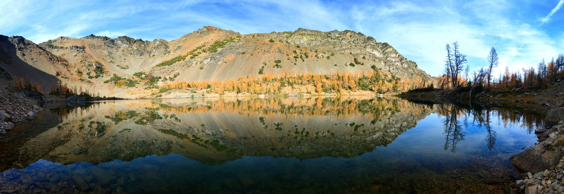
Abernathy Peak - 8321' - South ridge class 3
October 2014
Due to the intense larch colors that blanketed the Chelan Sawtooth Wilderness and the excellent weather we were having, I couldn't resist to plan another hike to see more larches and climb another Bulger. I met up with Spencer who I hadn't seen in a while who was also excited to see more larches. We met up in Kirkland and he drove to Chelan where we met with another friend who had rented a townhouse in Manson for the week. We were able to stay there for the quick night and continue the drive to Twisp the next morning. After an excellent breakfast at the local bakery in town, we drove up the Twisp River Road nearly to the end, 24 miles up! I was surprised at the low trailhead elevation of 3,100 feet and realized we have 5,400 feet of gain to the summit of Abernathy Peak in only 5ish miles. We parked at the Scatter Lake Trailhead and like many other do, we took the wrong trail and started hiking along the trail that follows the Twisp River. After hiking just over a half-mile down the valley we realized we missed the correct trail since we knew it is a steep trail the entire way.
So we backtracked and realized I read the sign wrong which said "Slate Creek Trail" which I mistook for Scatter Creek. So we found the correct trail, which isn't signed as the Scatter Creek Trail until a couple minutes after the junction! So the correct way to begin this hike is to start up the trail from the parking area, pass the "Slate Creek Trail - 4.5 miles" sign on the right, and turn right onto the Scatter Creek Trail another 50 yards further. After the detour, we only lost about 20 minutes. Starting up the correct trail, it was at first not too bad. It didn't follow the route as marked on the USGS map but was close enough.
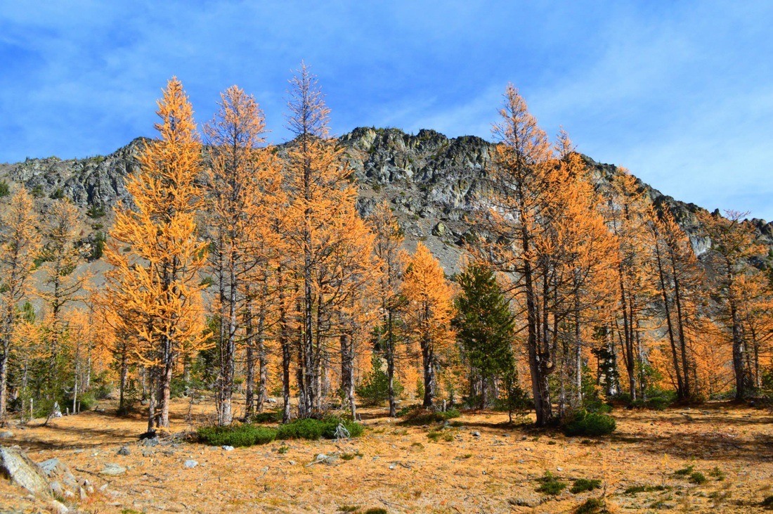
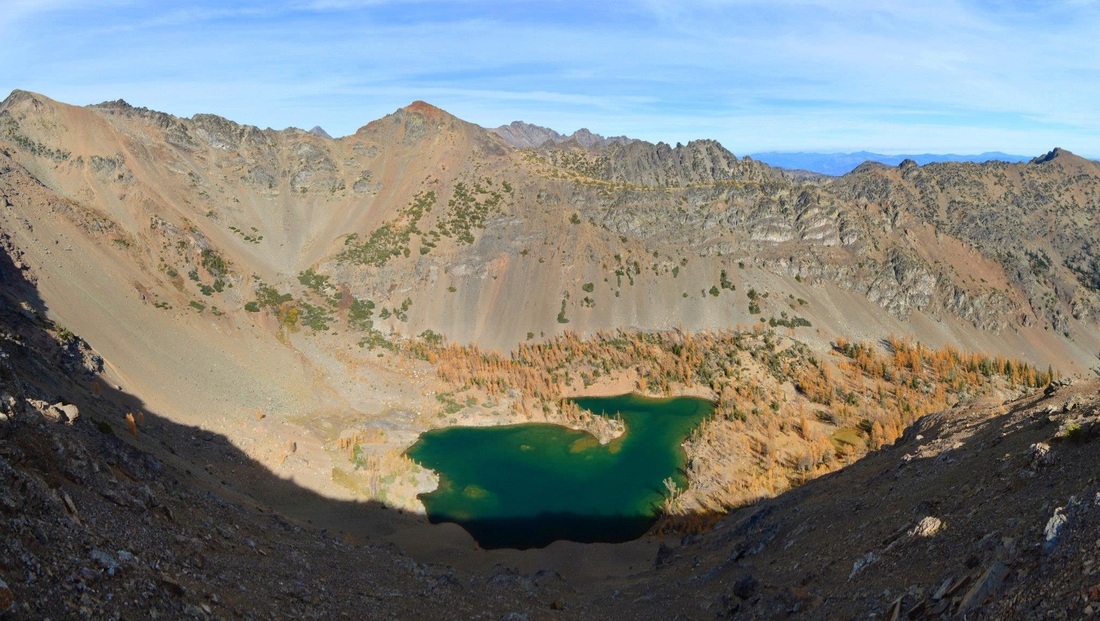
Once we gained 1,000 feet, we reached the right side of Scatter Creek just after a long switchback and followed the creek the rest of the way through pine trees. The trail from 4,100 feet to 6,300 feet was much steeper and we gained elevation fast. Once we reached 6,300 feet, we broke out into a sea of golden larch trees in the basin just below the lake and we took our time to enjoy it. Taking many photos, our progress slowed but despite starting our hike at 10am, our fast pace to start the steep hike allowed us to enjoy the larches. We finally reached the lake at 7,100 feet just after noon and took a nice break and scouted the best route up Abernathy Peak. I realized every route we would possibly do would have a lot of very loose talus so I proposed we head straight up the east facing talus slope for only 500 feet to the south ridge and proceed up more solid and easier terrain from there.
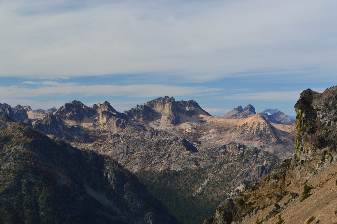
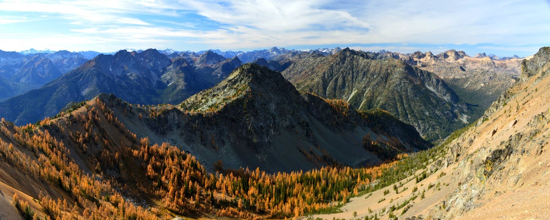
So we started hiking up the talus which was surprisingly solid at first but quickly turned to very loose scree. Spencer did great at pushing up through the loose terrain as we ran into some tougher spots with some exposure. Even the solid rock bands which I was able to utilize to conserve energy were covered in scree so care really needed to be taken. After 45 minutes of scrambling from the lake we reached the ridge at 7,600 feet and Spencer decided to call it there. The views were more than stunning enough of the North Cascades (See banner above).
I continued along the ridge which actually had some decent Class 3 scrambling up and over and around a handful of easy gendarmes. It was about a third of a mile each way along the ridge to the summit, where I was greeted with excellent views of the Gardners, Silver Star and Reynolds Peak. I saw Spencer atop the small peak to the south of where we met the ridge and we were able to yell across to one another.
After signing the register, I quickly ran back to Spencer and we began scree skiing back down to the lake. This was actually quite easy and fun even if our shoes filled with rocks. Once we returned to the lake, we took more photos as we hiked back down through the basin. Once back at 6,300 feet, we raced down the trail and made it to the trailhead just before 5pm. The drive back was long but dinner at the Skagit River Brewery with the end of the Thursday Night football game was just what I wanted.
Proudly powered by Weebly
