TRIP REPORTS IN UTAH (On Map)
| Purple Paddle - Successful climb/canyon non technical | Green Starred Paddle - Successful technical ascent | Red Stop Paddle - Worthy, but unsuccessful attempt | Hiker - Hiking trip | Biker - Biking Trip |
Trip Reports in Utah (List)
|
Overview
|
Utah is one of the most diverse and dynamic states in the country. It is also hands down the most colorful and the staple of the American Southwest. Many country western films have their roots in Utah and some of the most well known outlaws called this wild place home during a time when the west wasn't yet settled. Utah is home to an iconic American lifestyle where people traveled on horseback, lived in homesteads and raised cattle for a living. People often lived many miles from their nearest neighbor and this provided many great hiding places for outlaws like Butch Cassidy and Sundance Kid. Today, parts of Utah are some of the most popular tourist destinations in the world where other parts are some of the most remote in the country. People very rarely stray too far from the paved highways which are few and far between. Once off the highway, you go back in time and enter the land of the great southwest 50 years ago....rugged, wild and unspoiled. Utah is a special place I invite everyone to visit someday and I hope my extensive travels into this beautiful place can convince you to come and see what I am talking about. You will find everything from alpine mountains over 13,000 feet in elevation to the deepest desert slot canyon and everything in between. Off roading, mountain biking, and boating...yes even boating are all also popular activities in Utah. The primary metropolitan area is Salt Lake City located in Utah Valley. Many other cities like Ogden, Provo and Orem are also found here. The state can be divided into many different areas that I will briefly describe below.
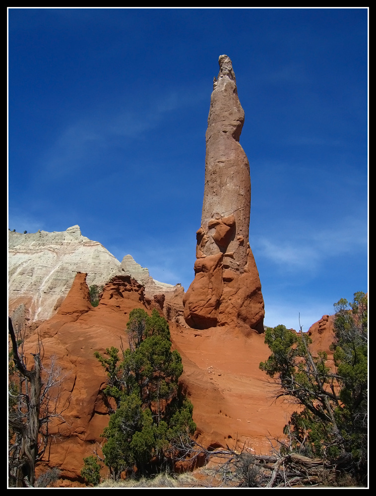
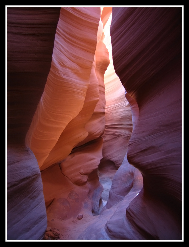
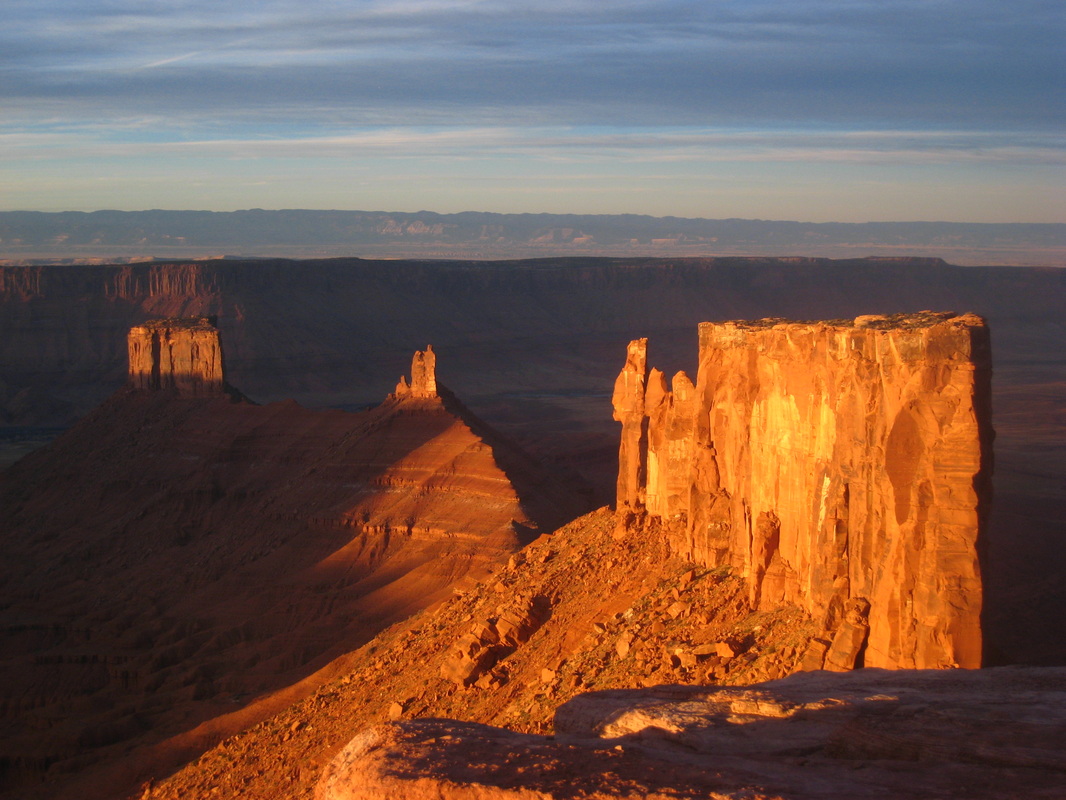
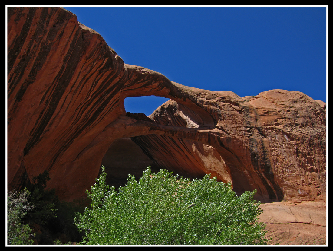
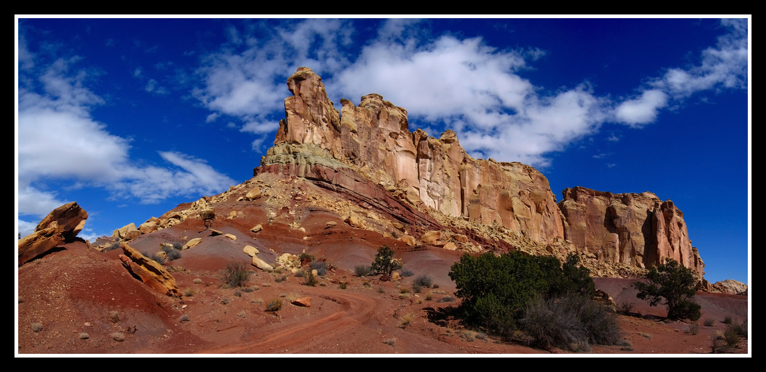
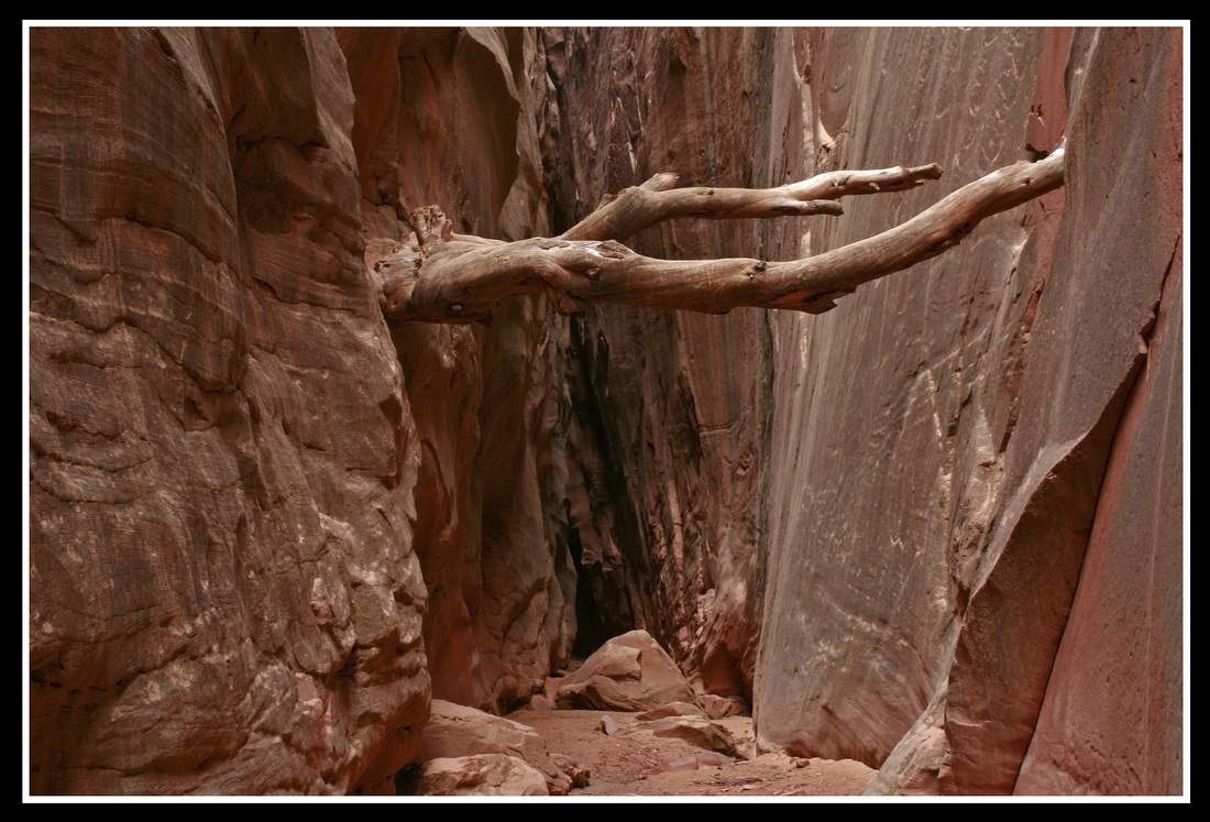
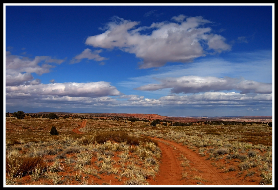
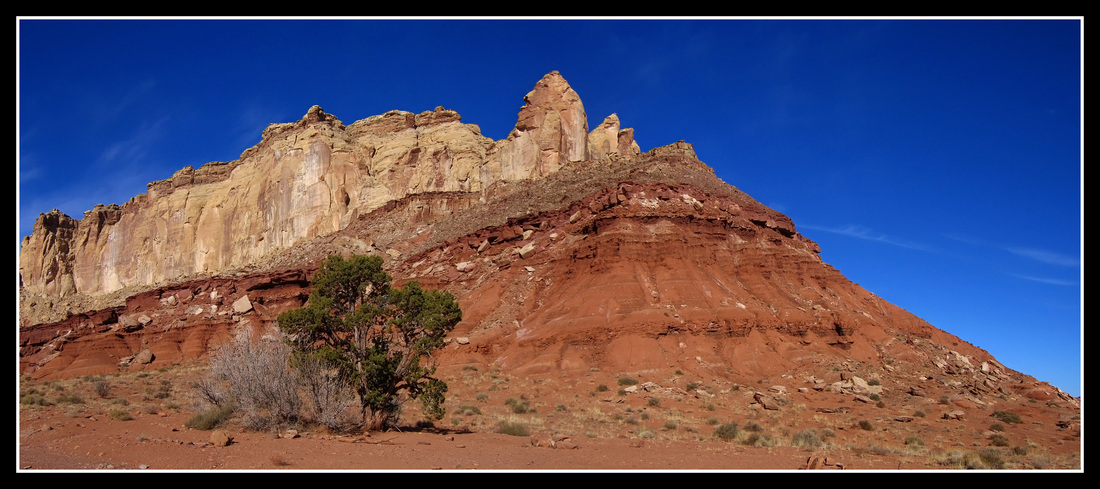
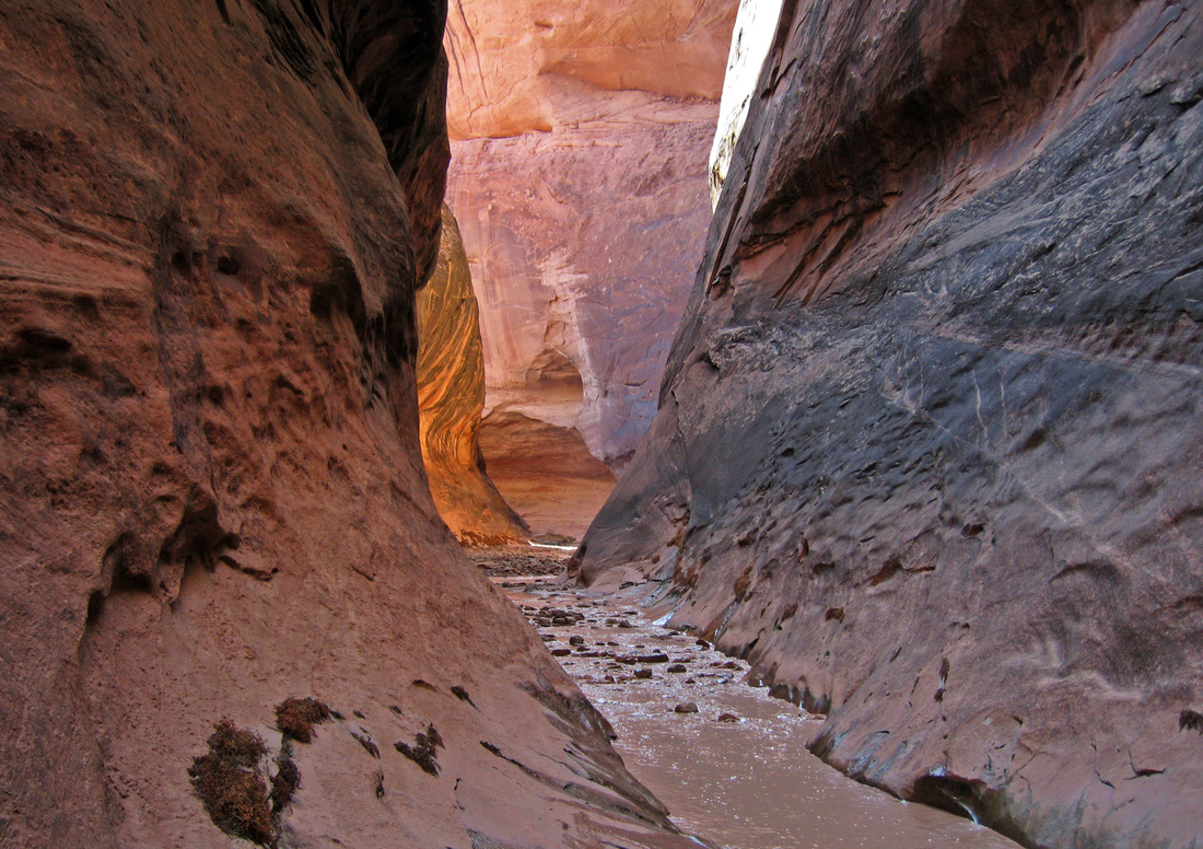
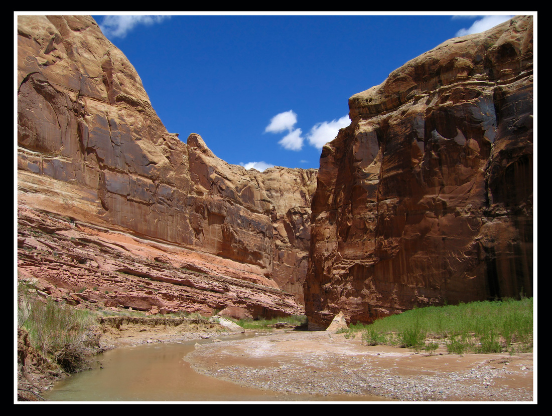
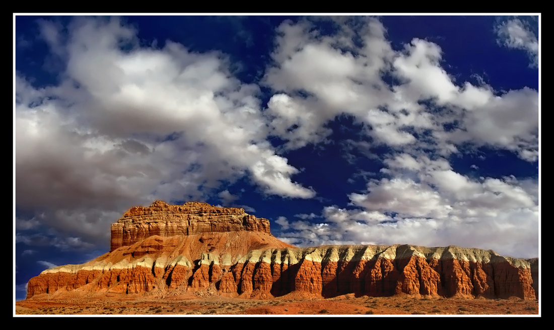
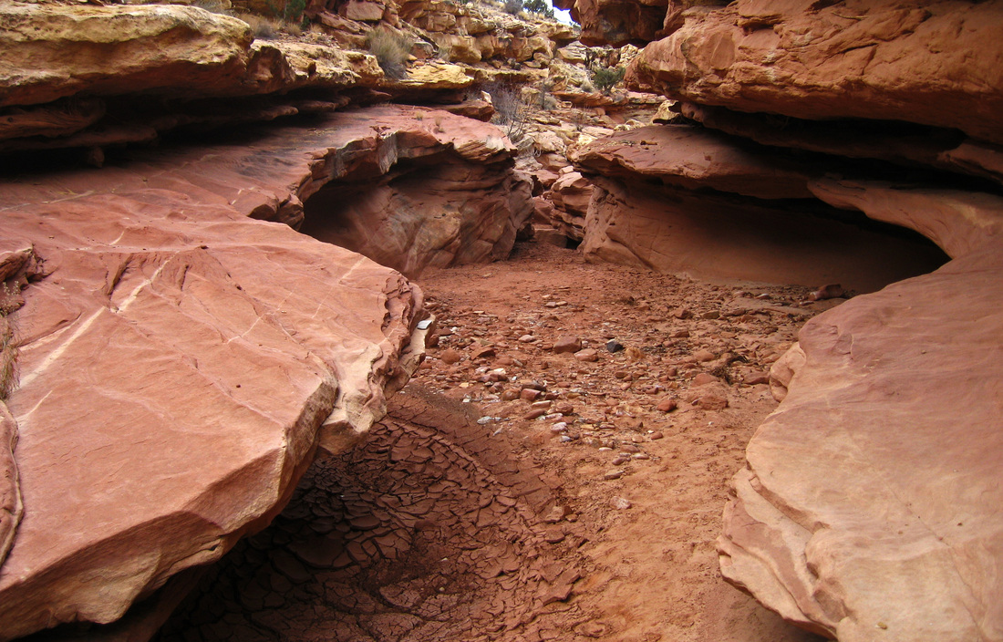
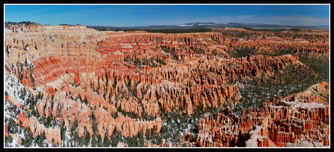
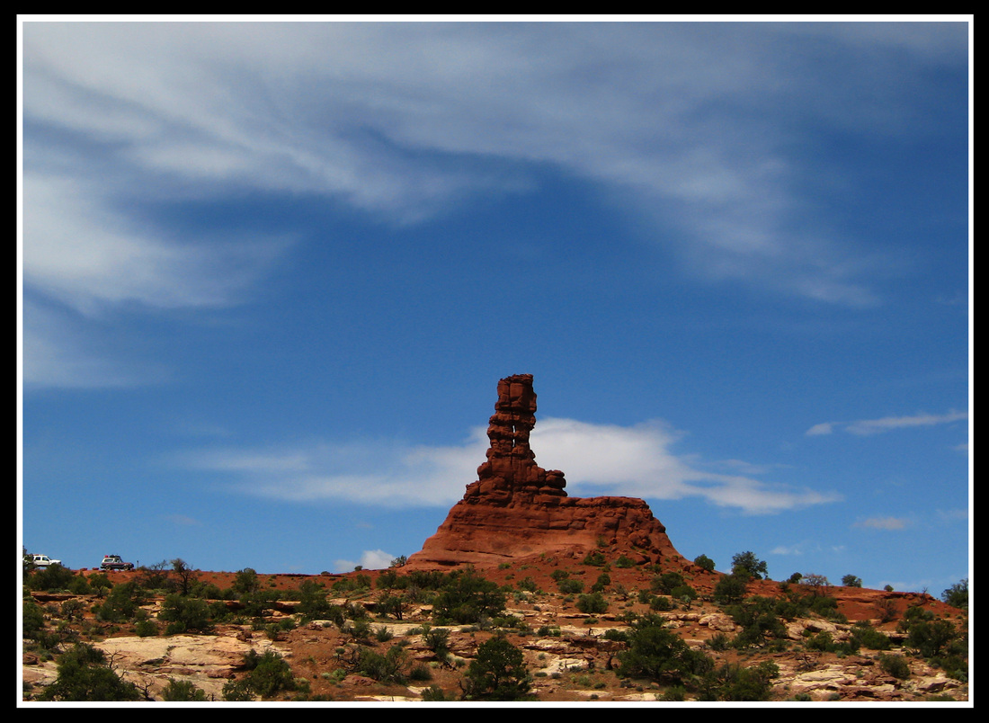
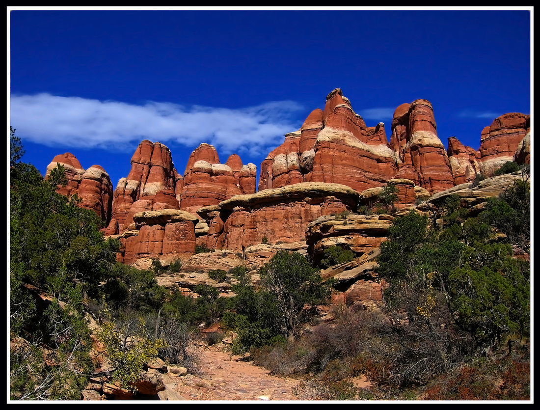
Uinta Mountains - This is the premier mountain range in Utah. It's an east to west oriented range with 18 peaks over 13,000 feet in elevation including Kings Peak, the state high point. Although the range is characterized by fairly gentle sloping peaks made of Pre-Cambrian quartzite and sandstone, the display of wildflowers and the high alpine basins make this range very unique. Large game such as moose, elk and black bears frequent the upper reaches of the range. This is a backpackers paradise however for those climbers, there are a few hidden gems that await exploration but the rock quality is typically poor. At the time of this writing though, Red Castle has yet to be cllimbed. Located just to the south of the Uintas is the Uinta Basin home to the towns of Vernal and Roosevelt where there are extensive oil plays some of which are currently active. West Desert Ranges - Simply see the linked page which is as good as a comprehensive guidebook. Robbers Roost Country - This is a large area at about 70 miles long in the north-south direction and 40 miles long in the east-west direction. It lies at the very heart of Utah’s canyon country bounded by the Henry Mountains to the south and southwest, Canyonlands National Park and Glen Canyon National Recreation area to the east, the Green River to the northeast, interstate 70 to the north and the San Rafael Swell to the northwest. This area is also known as the San Rafael Desert as much of the landscape is a wide open rolling expanse of sandy desert with small brush like sage and juniper growing as far as the eye can see. Hidden in this expansive desert however are some of the best technical and non-technical slot canyons in the country. You will probably not notice these canyons though if you drive down the Hans Flat road towards the Maze district of Canyonlands National Park. This road keep you high on the flats as it weaves around all the slots and eventually gets to the Hans Flat Ranger Station which marks the transition from the San Rafael Desert to the Orange Cliffs unit of the Glen Canyon National Recreation area. Many old spur roads travel in all directions taking you closer to these slot canyons. The area got its name from the mass of outlaws including Butch Cassidy that hid in the area. San Rafael Swell - This area is characterized as a huge anticline, measuring 80 miles north-south by 40 miles east-west. Most of the land is arid or desert, but a few areas in higher elevation support some sub-alpine vegetation. The rock layers are all tilted and many rings of different rock layers radiate outward from the center including the prominent Wingate Sandstone cliffs forming the backside of the San Rafael Reef which the outer most cliff bands are known as. This eature was called a reef as it resembled an oceanic reef to early explorers due to the light colored rock forming very steep cliffs and fins. The scenery is fantastic, and contains towering mesas and mountains, thin rock pinnacles, slot canyons, larger deep canyons, huge rock walls, arches, and slickrock. The San Rafael Swell offers everything from gentle hiking to extremely difficult canyon and peak climbing. The southern end of the swell is an area known as the Moroni Slopes. Canyonlands National Park - This fantastic area is located near Moab and is divided into three districts which are separated by the Colorado and Green Rivers. The confluence between these two great rivers is in the heart of the park in a very remote place most easily assessed by boat. The northern district is "Island in the Sky" which is the easiest to see as a few paved roads enter from Moab. The Green River Overlook is a popular sight in this area. Dead Horse Point is also nearby. The most remote, and my favorite district lies to the southwest and is called "The Maze" and as you might guess it really is a maze. This place is really a treat and requires hours of driving on rough dirt roads, including the infamous Hans Flat Road to get to. Here you can pack into sights such as the Dolls House, Maze Overlook and many amazing towers. To the southeast lies "The Needles" district where one paved road enters about 45 minutes south of Moab. Here you can drive down Salt Wash or hike to Chester Park and see the famous "Joint Trail" The geology here is spectacular and far more complicated that I can describe here. Great climbing can be found on the Six Shooter Peaks near the Needles. Capitol Reef National Park - Simply see the linked page for my detailed page about my favorite place in Utah. Arches National Park - This is the primary tourist destination in Utah and every year millions of people pass through to see many grand arches. Only a few miles outside Moab is the entrance to the park and a nice paved road takes you on a great tour of the area. People come here from all over the world. Despite this fact however, you can find solitude if you look for it. In the northwestern corner of the park lies an area known as the Klondike Bluffs which a is good place for nice hiking away from the crowds. Grand Staircase Escalante National Monument - This area is in southern Utah between Capitol Reef and Arizona. The Escalante River is a major river drainage that flows into Lake Powell and there are hundreds of side canyons, many of which are great slots that make up this drainage. The Hole-in-the-Rock Road is the primary access. This is a long 50+ mile dirt road that heads southeast from Highway 12 near the namesake town. It ends at the famous Hole in the Rock which is the only place there is a break in the Wingate cliffs that was big enough for the Mormon settlers to bring their wagons from the high deserts down to Lake Powell, over 800 feel lower. Everywhere else was sheer cliffs. This route today is used by hikers and canyoneers but history buffs still take their jeeps all the way to the end of the road. Most of the road can be driven in a car only the final 10 miles requires high clearance. Some of the more famous slot canyons along the way include Spooky Gulch, Coyote Gulch, Neon and Choprock Canyons, Little Death Hollow and the Egypt slots. Cedar Mesa Area - This area I haven't spent as much time in but it is well known for the large amounts of well preserved Anasazi Indian pictographs and ruins in many of the small canyons. There are many great hikes in the area ranging from nice canyons with great ruins such as Fish and Owl Canyons to good scrambles offering fantastic views such as Comb Ridge. Bryce/Zion Canyons - Bryce Canyon is mainly a tourist destination where most people take the rim drive to see the famous hoodoo formations. At sunrise and sunset the photography here can really be striking. There are however hiking trails that head down off the rim into the canyon below. Although it may not be legal, those looking to find desert towers to climb would have a great time here! Zion on the other hand is one of the best destinations in Utah for everyone. Tourism, Hiking, Climbing and Canyoneering is all found here in great abundance and high quality. The most famous slot canyon has to be the Subway which the Virgin River carves a deep incision into the surrounding sandstone. This canyon however is knows for its deadly flash floods though. There are many big walls to go rock climbing and trails to hike on all of which offer awesome southwest scenery. The Angels Landing trail is a must for hikers looking for a little more adventure. |
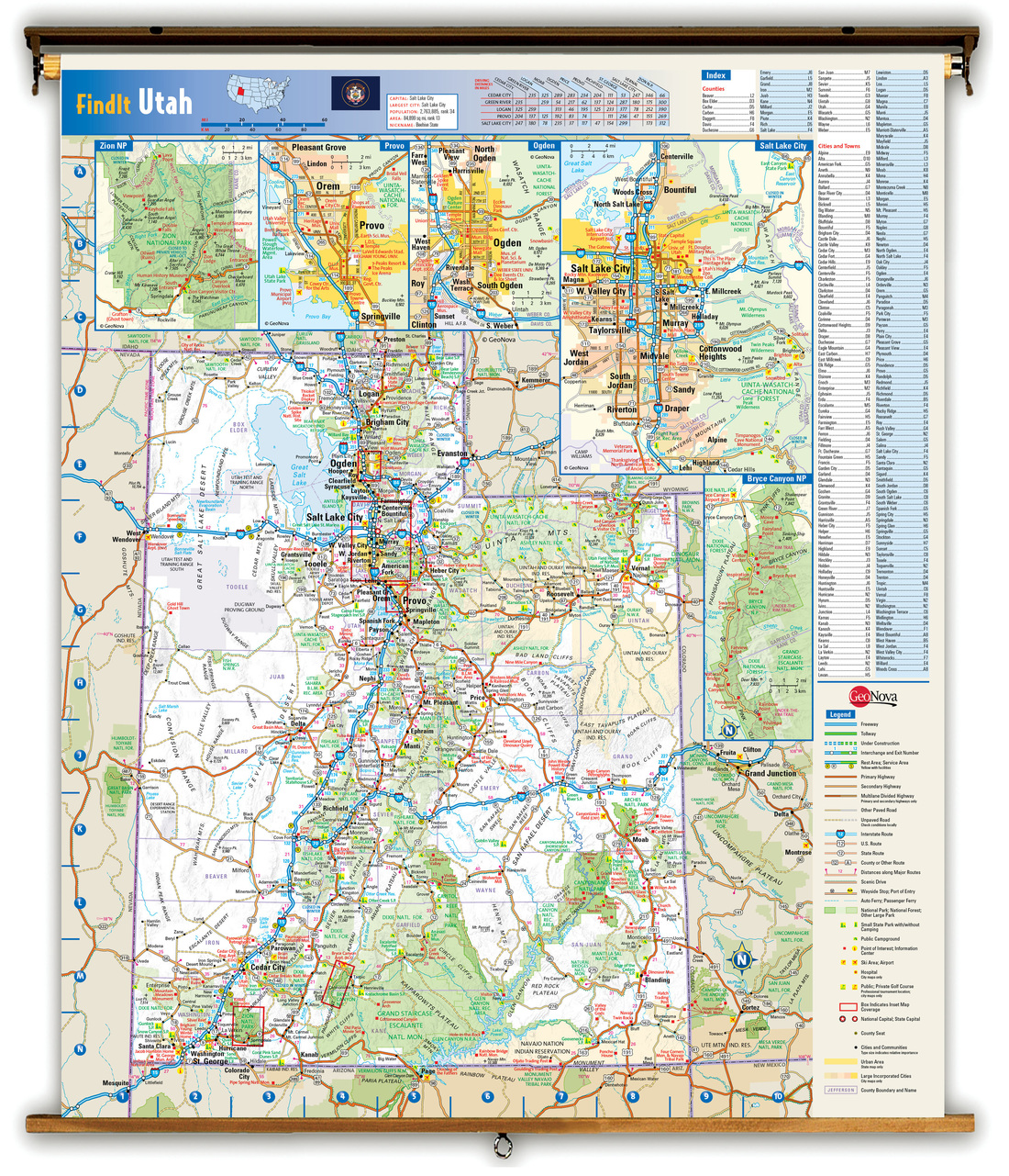
State Map
Proudly powered by Weebly
