Horseshoe Canyon, Goblin Valley, Fisher Towers
October 2008
Horseshoe Canyon
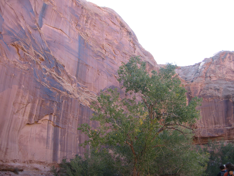
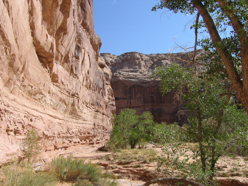
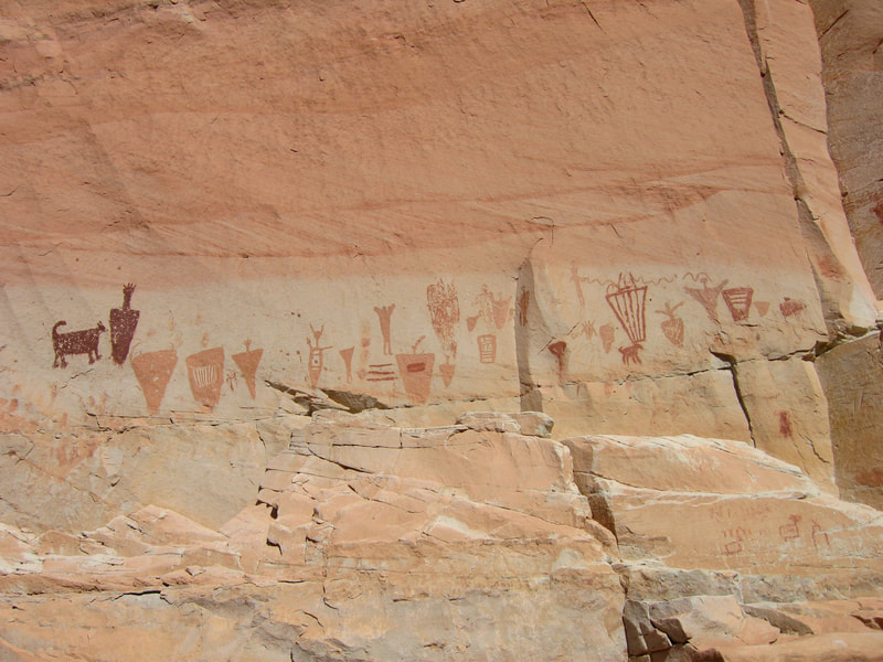
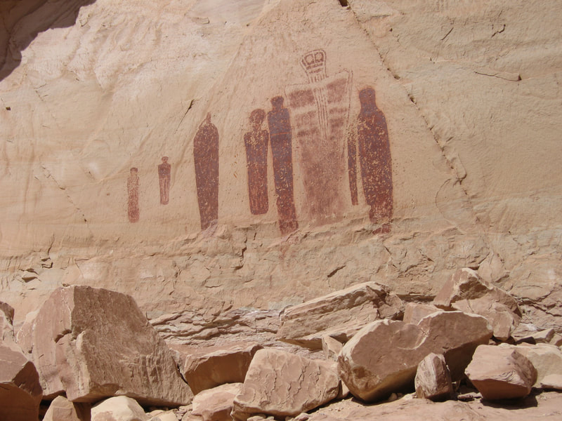
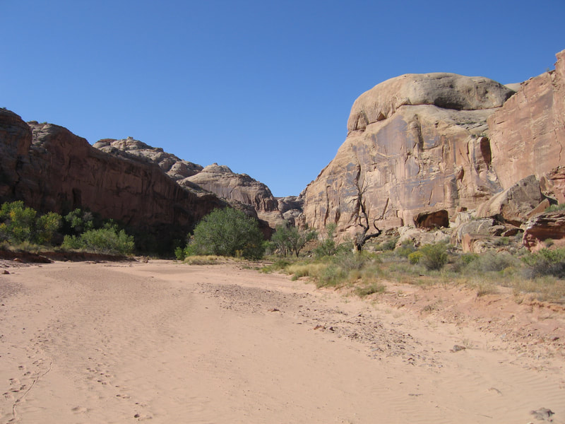
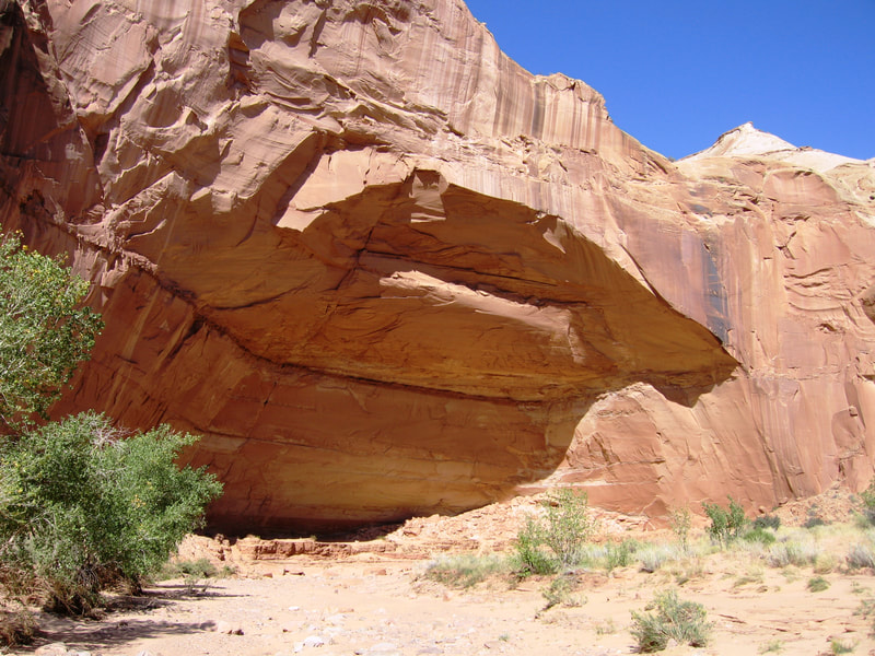
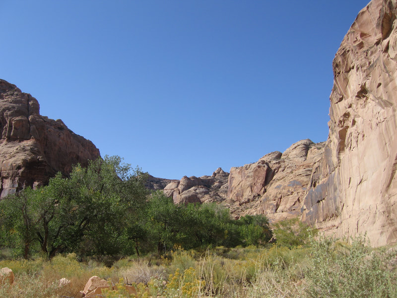
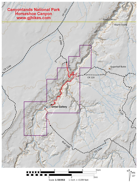
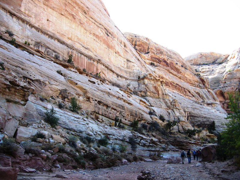
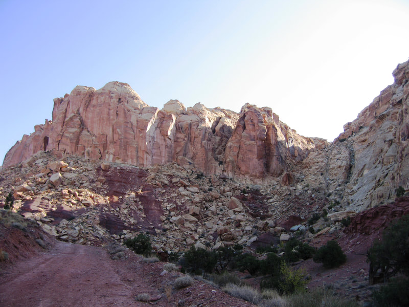
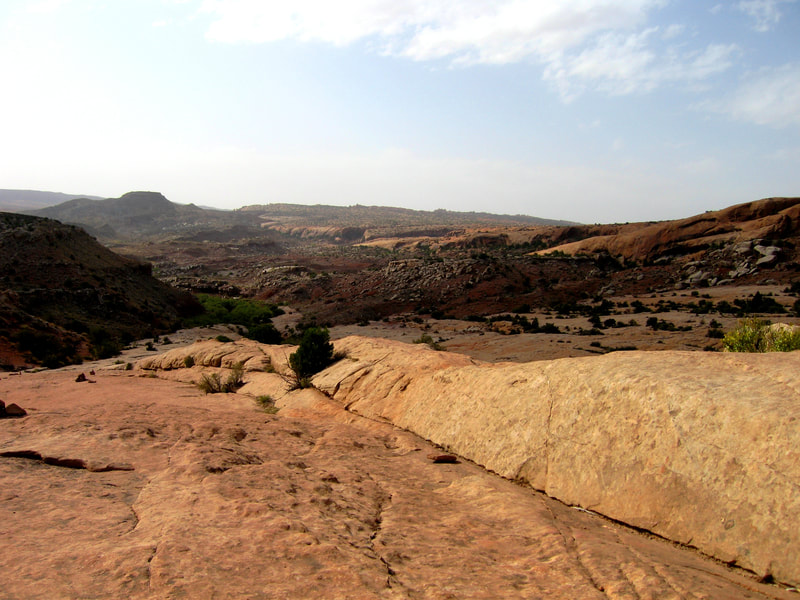
Midway through my very first semester at the School of Mines, I took a fall break trip with the outdoor club on campus. Since this was my very first trip to Utah since I was a kid during family vacations, I was beyond excited. We stopped at Colorado National Monument, and Arches National Park along the way. Our first main stop was Horseshoe Canyon though, where the famous Great Gallery pictographs are located. This is a beautiful hike with high canyon walls. It is actually an external unit of Canyonlands National Park, located to the NW of the main park. You must drive a long ways on the Hans Flat Road to access it (same road for The Maze District). It's a short hike down the canyon on ledges, then a walk along the canyon floor downstream to the Great Gallery.
Midway through my very first semester at the School of Mines, I took a fall break trip with the outdoor club on campus. Since this was my very first trip to Utah since I was a kid during family vacations, I was beyond excited. We stopped at Colorado National Monument, and Arches National Park along the way. Our first main stop was Horseshoe Canyon though, where the famous Great Gallery pictographs are located. This is a beautiful hike with high canyon walls. It is actually an external unit of Canyonlands National Park, located to the NW of the main park. You must drive a long ways on the Hans Flat Road to access it (same road for The Maze District). It's a short hike down the canyon on ledges, then a walk along the canyon floor downstream to the Great Gallery.
Goblin Valley & Little Wild Horse/Bell Canyons
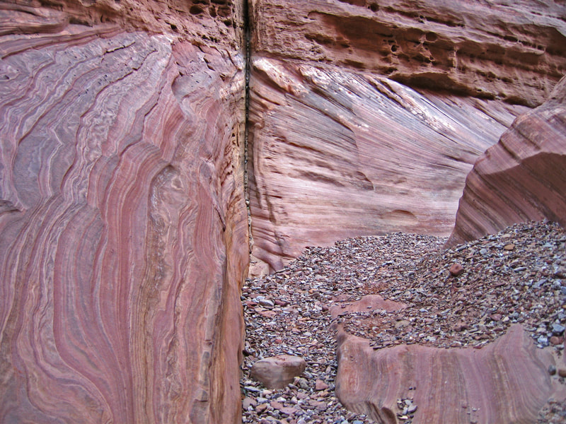
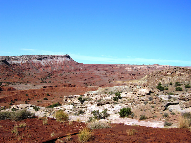
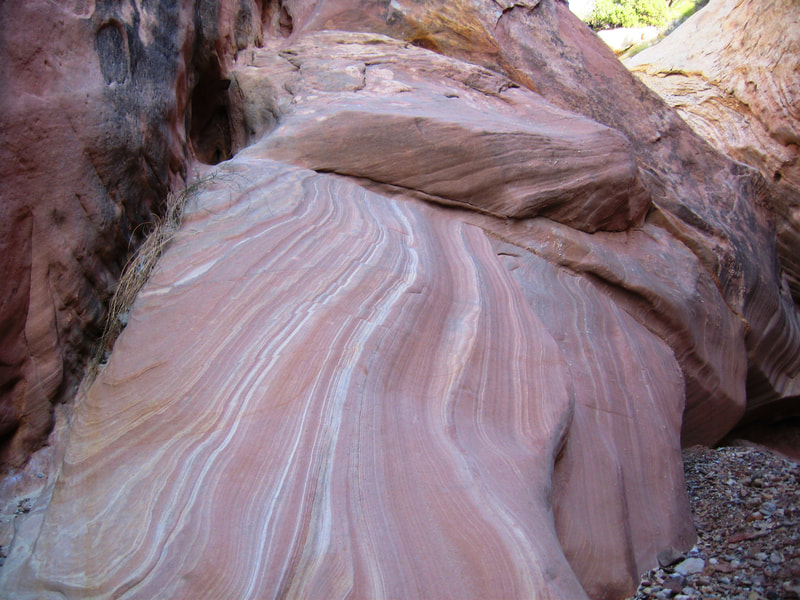
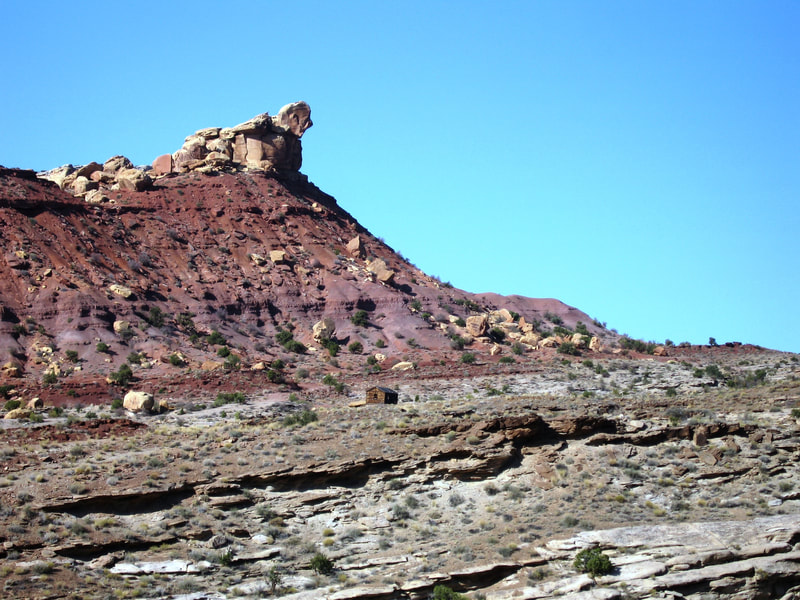
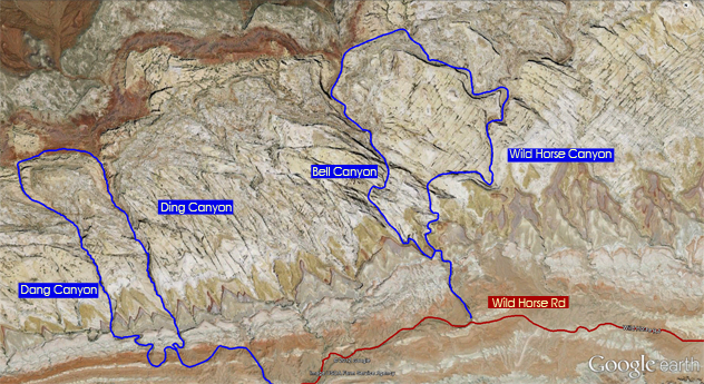
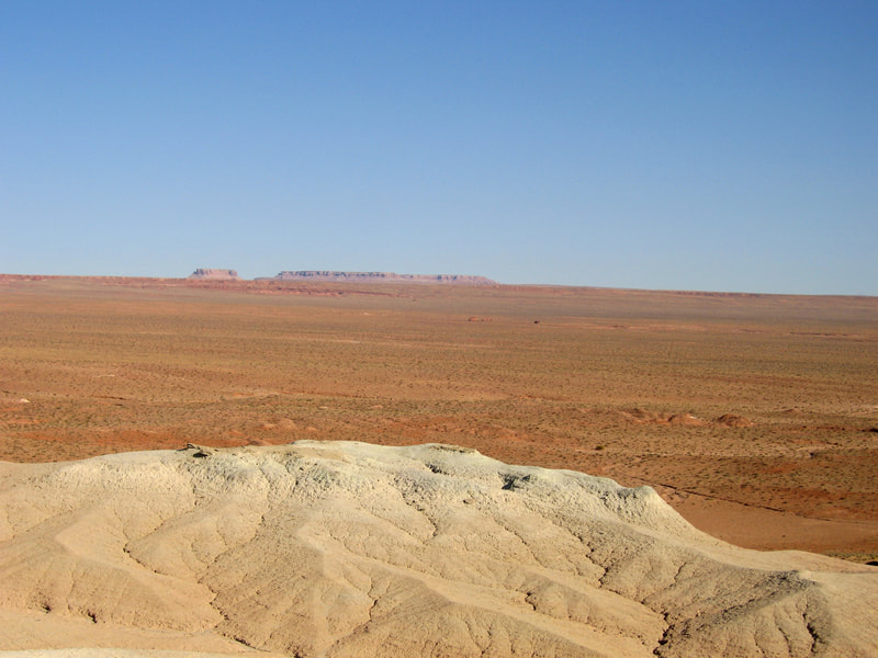
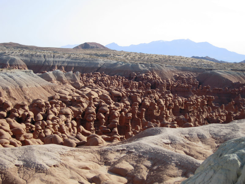
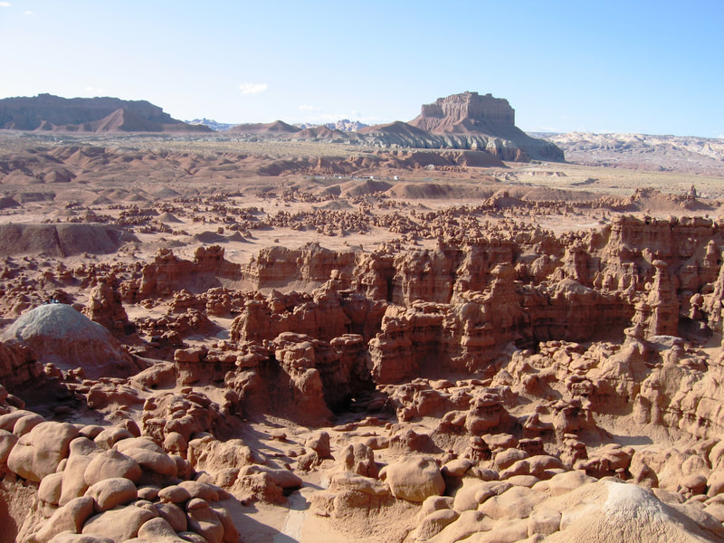
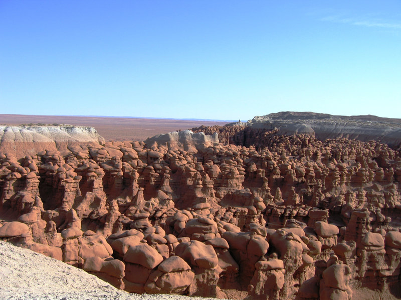
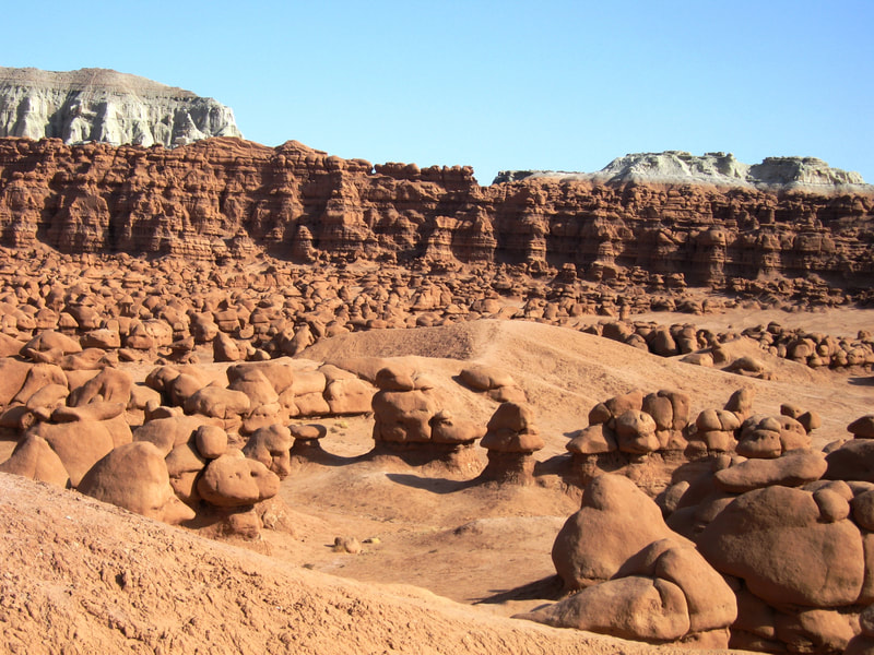
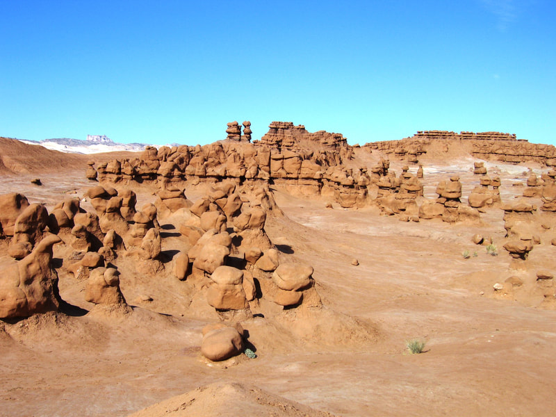
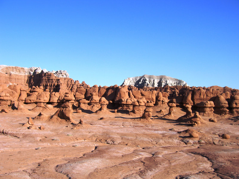
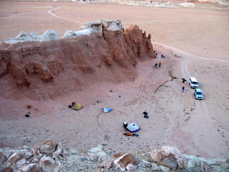
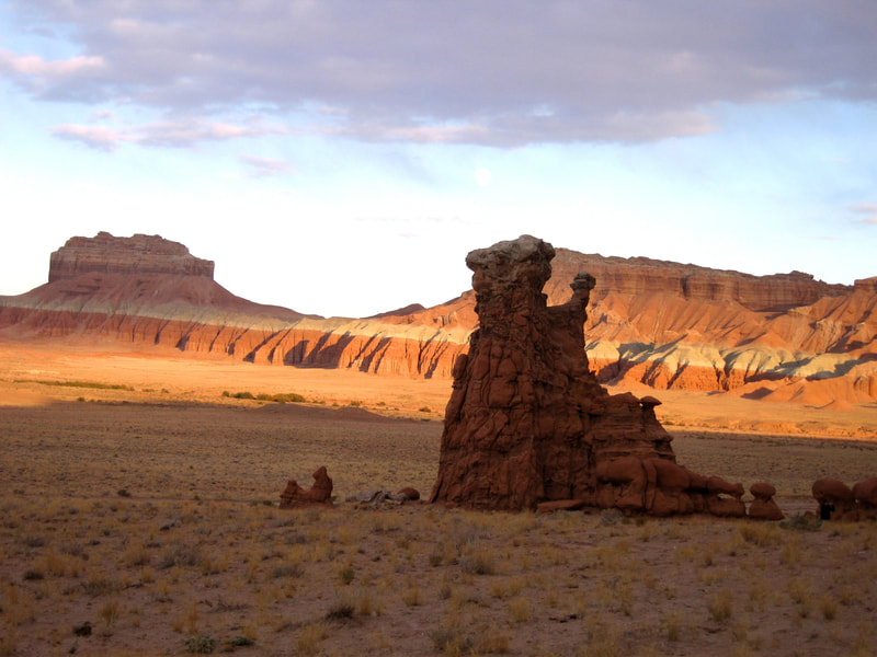
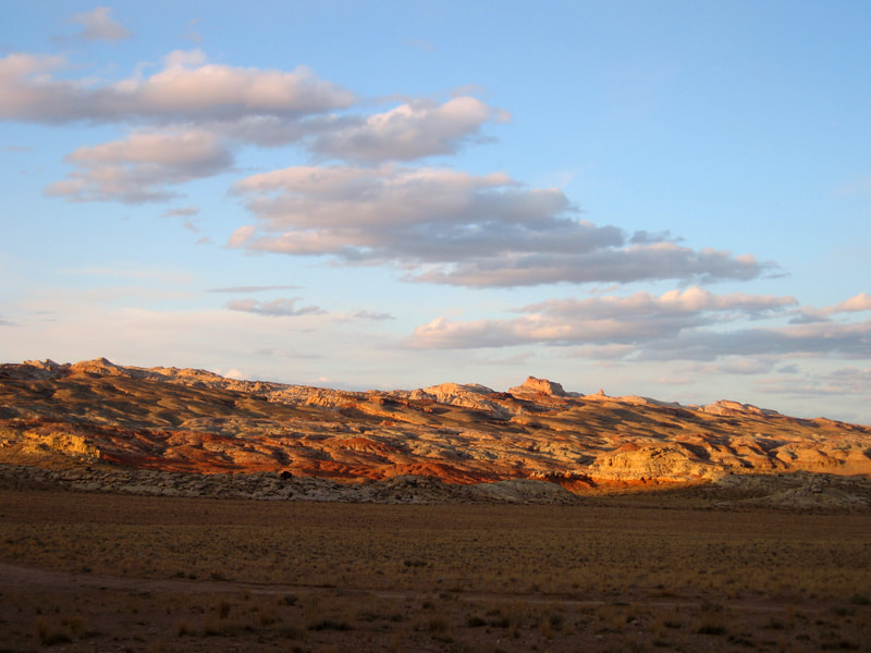
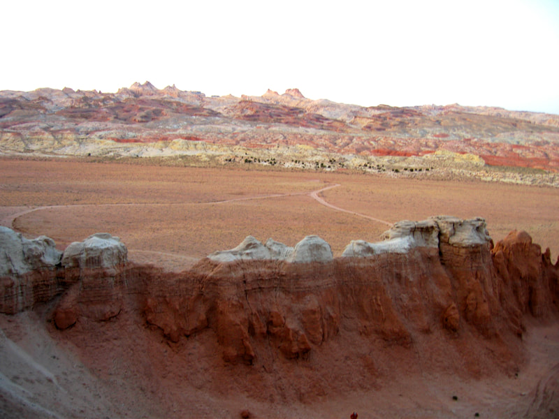
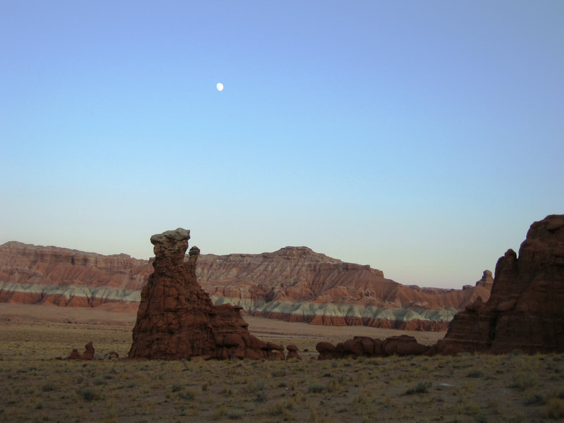
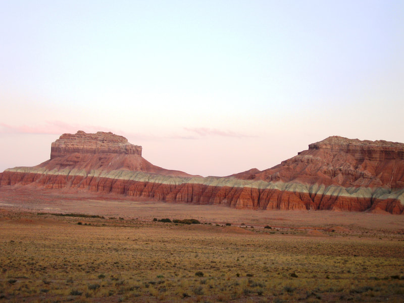
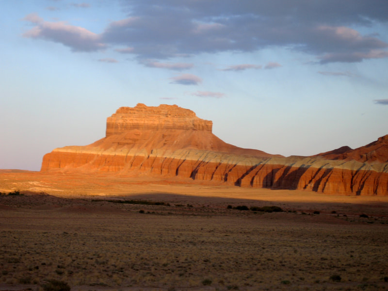
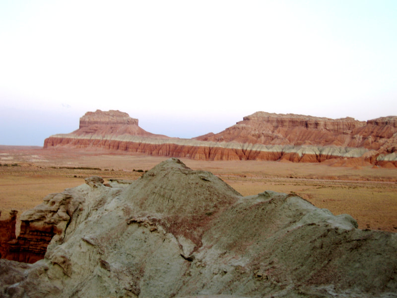
Our next main stop was over to Goblin Valley, where we explored the interesting rock formations of the Entrada Sandstone, and I scrambled up to the top of the hill above the valley for a great view of the expansive San Rafael Desert (Robbers Roost Country). We camped just below Little Wild Horse Mesa at the SE edge of the San Rafael Swell, and dayhiked the Little Wild Horse and Bell Canyon loop. I believe that the year 2008 when we were there was right around the time these canyons found their way onto the tourist maps, as I heard it got much more popular shortly afterwards. Both canyons are excellent beginner hikes without much difficulty. Just a few class 3 scramble spots. Once you reach the upper end of Little Wild Horse, it's a nice walk on the Behind the Reef jeep road westward until the next major drainage, which is Bell Canyon. The scenery back there is stunning, and the hike down Bell Canyon is easier than LWH. They can be accessed via the 2WD Wild Horse Road #1013, which turns west off the Goblin Valley Road shortly before entering the state park.
Our next main stop was over to Goblin Valley, where we explored the interesting rock formations of the Entrada Sandstone, and I scrambled up to the top of the hill above the valley for a great view of the expansive San Rafael Desert (Robbers Roost Country). We camped just below Little Wild Horse Mesa at the SE edge of the San Rafael Swell, and dayhiked the Little Wild Horse and Bell Canyon loop. I believe that the year 2008 when we were there was right around the time these canyons found their way onto the tourist maps, as I heard it got much more popular shortly afterwards. Both canyons are excellent beginner hikes without much difficulty. Just a few class 3 scramble spots. Once you reach the upper end of Little Wild Horse, it's a nice walk on the Behind the Reef jeep road westward until the next major drainage, which is Bell Canyon. The scenery back there is stunning, and the hike down Bell Canyon is easier than LWH. They can be accessed via the 2WD Wild Horse Road #1013, which turns west off the Goblin Valley Road shortly before entering the state park.
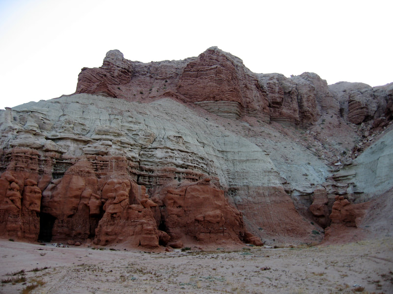
The photos below were taken in Goblin Valley and around camp at Wild Horse Butte.
Fisher Towers Hike
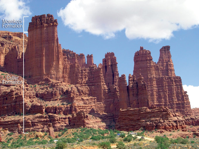
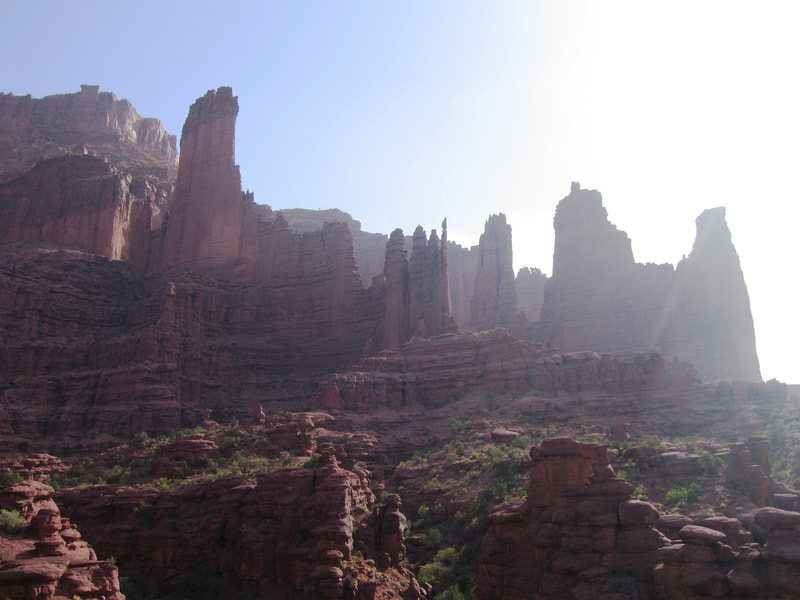
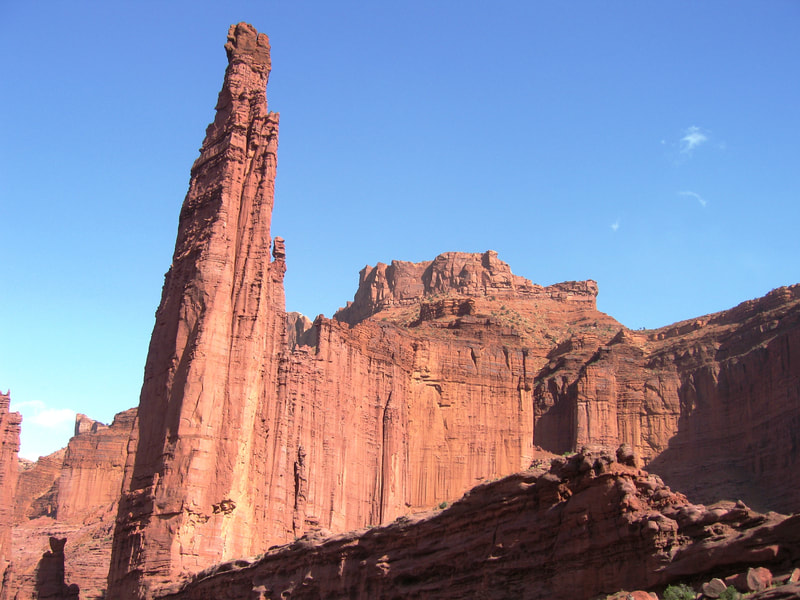
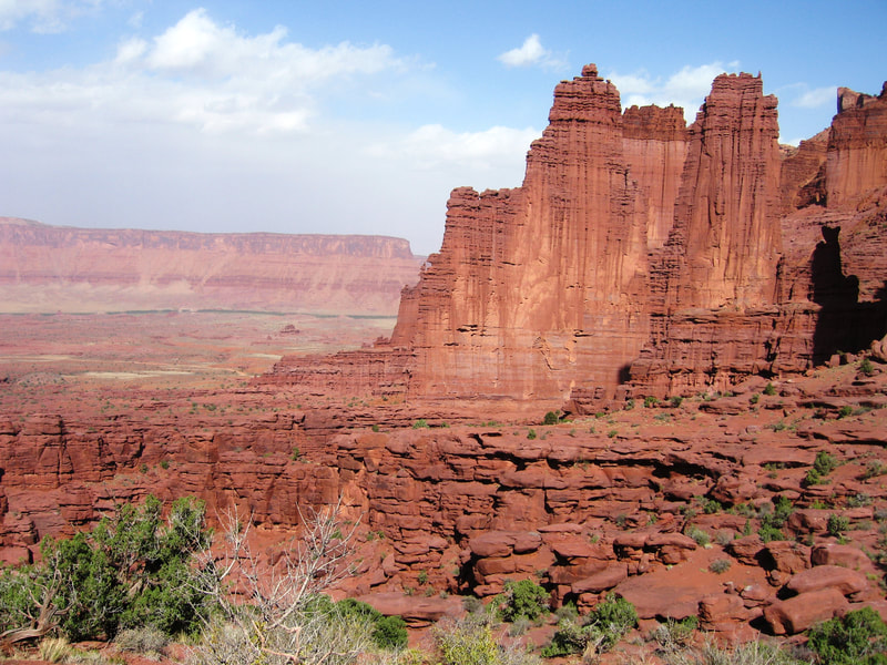
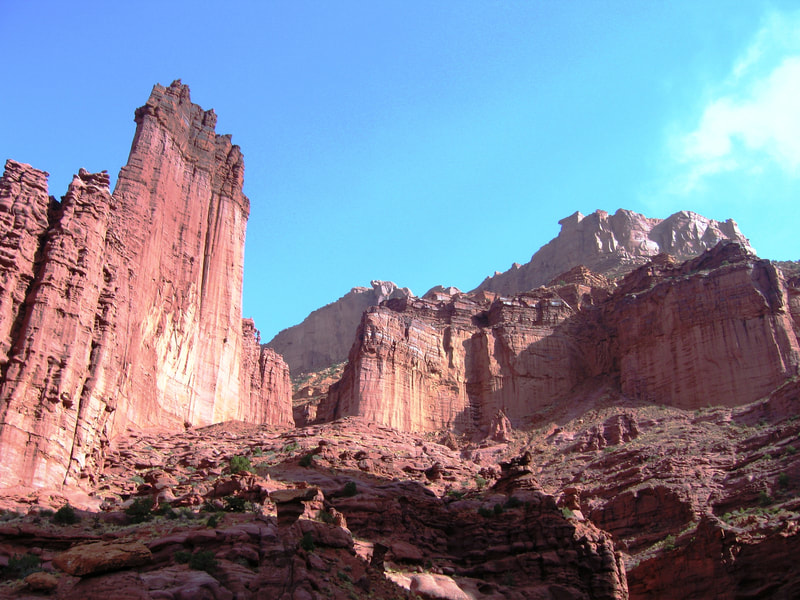
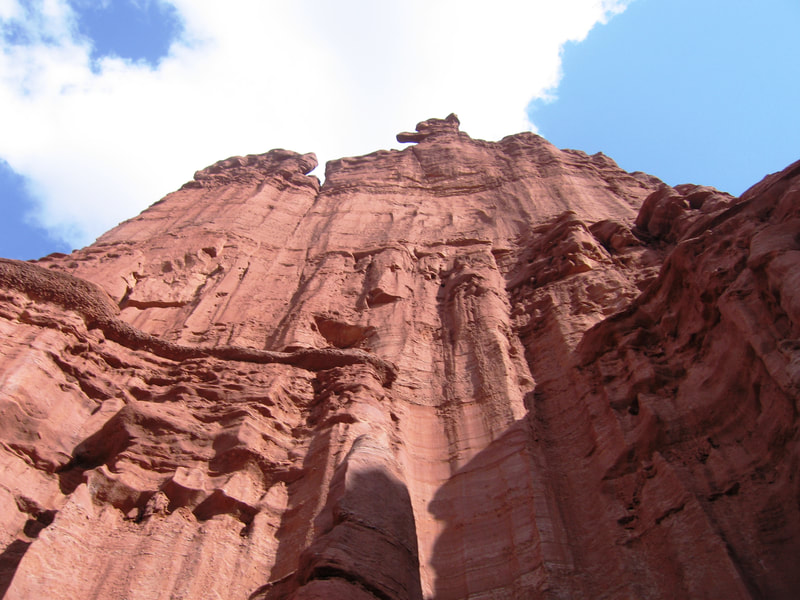
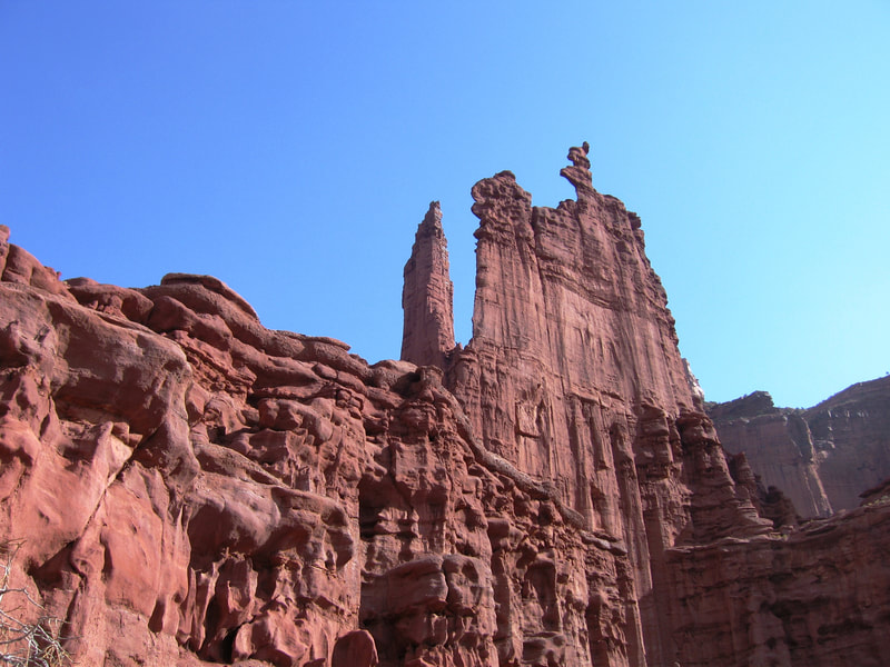
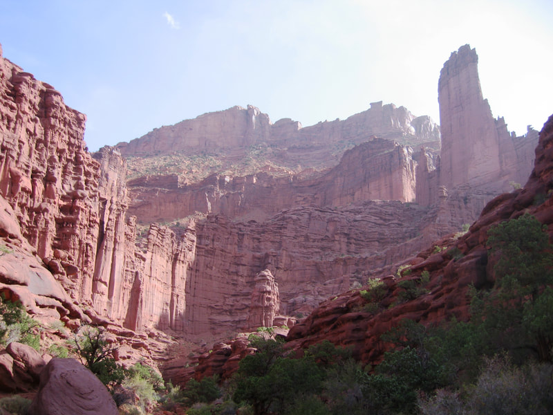
On the way back to Golden, we did a hike throguh the Fisher Towers, which are super tall monoliths just north of Moab. They are notorious for extremely bad rock and very hard aid climbing routes, none of which I had even considered or known about at the time I was on this hike. The two largest towers, known as the Titan and Kingfisher are hundreds of feet tall, while only 10-20 feet in thickness which makes them very prominent finlike towers jutting into the sky. A nice short trail wanders through the towers, which are made mostly of the Permian aged Cutler Formation; a mudstone and sandstone mix. The uppermost part of the higher towers are made of the lower member of the Moenkopi Formation, which is a more resistant rock preventing the erosion of the lower part of the towers. Eventually this caprock will fall off though, and lead to faster erosion of the Cutler rockl beneath, like what is currently seen on Ancient Art.
On the way back to Golden, we did a hike throguh the Fisher Towers, which are super tall monoliths just north of Moab. They are notorious for extremely bad rock and very hard aid climbing routes, none of which I had even considered or known about at the time I was on this hike. The two largest towers, known as the Titan and Kingfisher are hundreds of feet tall, while only 10-20 feet in thickness which makes them very prominent finlike towers jutting into the sky. A nice short trail wanders through the towers, which are made mostly of the Permian aged Cutler Formation; a mudstone and sandstone mix. The uppermost part of the higher towers are made of the lower member of the Moenkopi Formation, which is a more resistant rock preventing the erosion of the lower part of the towers. Eventually this caprock will fall off though, and lead to faster erosion of the Cutler rockl beneath, like what is currently seen on Ancient Art.
I love geology! Check out this geologic map and cross section of the Fisher Towers area and the entire Onion Creek diapir! - Link
Proudly powered by Weebly


