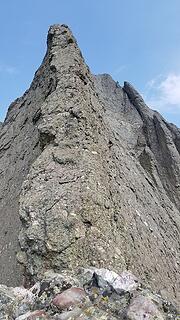
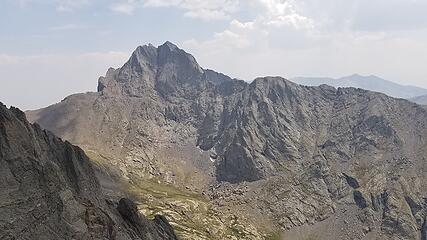
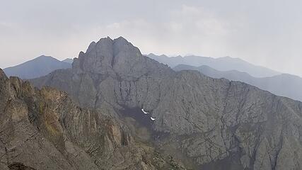
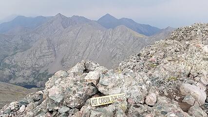
kit carson mountain - 14165' - The prow class 5.8
My Colorado 14er finisher - august 2020
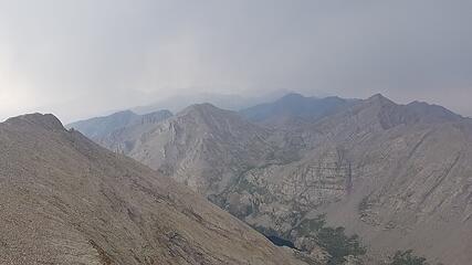
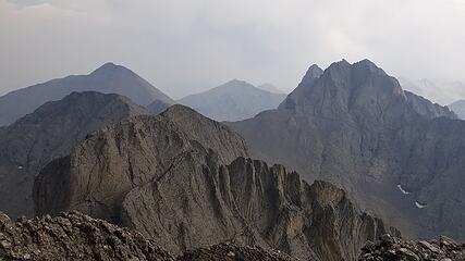
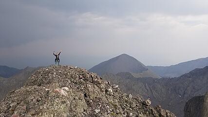
Despite the horribly smoke air we have been having here in Colorado, my current roommate and I wanted to climb The Prow route up Kit Carson Mountain. Kit Carson is a large mountain in the Sangre de Cristo Mountains in southern Colorado, and sits just across the more famous Crestone Peak. This was my final Colorado 14er, which finished the Colorado portion of a low priority quest for me to finish all the 14ers in the CONUS. I started my first 14er during my very first semester in College back in September of 2008, but didn't get the chance to finish all 58 of them before I graduated in 2012. After that, I left Colorado and didn't really come back until fall of 2019.
Kit Carson actually has given me some grief over the years, and I have three attempts where I tried to reach its summit all be foiled due to the prescance of snow when I was much less expereinced travelling over steep snow. Twice, I scrambled up Chellenger Point, which is the peak next to Kit Carson, and didn't reach the summit due to snow covering the Kit Carson Avenue. These attempts were back in 2011. These days I wouldn't have thought anything of it, but I had much lower limits on what I was comfortable with back then. Then, in May of 2012 I ascended Humboldt and Columbia Point, but was not comfortable making the traverse to Kit Carson due to snow and ice covering the steep class 3-4 scramble down from Columbia Point. So alas, I never got around to finishing Kit Carson before I left Colorado for good in June 2012.
Yesterday, the time had finally arrived for me to finish. I was never in a hurry to complete the 14ers, and I always put Kit Carson on the back burner in more recent years until I could find someone to climb the Prow with, since this was a route I developed the desire to do once I became more versed in technical alpine rock climbing.
My biggest concern on this route is the afternoon thunderstorms, and the overhanging crux on the bottom of the route. Once you climb above that crux on the first pitch you're committed to the top. My second concern was the smoke in the air from Colorado's most historic wildfire season in recent memory that is currently going on. Since two of my roommates did this route a few weeks ago, my third roommate and I decided we wanted to do it as well. This was also going to be my finisher so I had plenty of motivation. Last weekend, we planned to go for it dut a deteoriating weather forecast and unrelenting smoke had us push it back a week.
With the weather calling for just a 20% chance of thunderstorms after 3pm in the Sangres, we drove out Friday evening to the Spanish Creek Trailhead. We did not camp at this trailhead though since it sits on private property, but instead drove partway up the road to the Willow Creek TH and car camped just past the NF wilderness boundary. We didn't arrive until 11pm so we went right to sleep as soon as we arrived with a 4am alarm.
Once we woke up, we drove back through the town of Crestone and down to the Spanish Creek Trailhead which is a small pull off on the east side of Camino Baca Grande right where it intersects the Spanish Creek Trail Road. This pullout is also about 120 feet north of where Camino Baca Grande crosses Spanish Creek. This approach via Spanish Creek has a long history of issues due to the private property it crosses at the beginning before reaching the national forest lands. I hope to provide some recent info about this approach here.
By 5am we were off, and started up the old jeep road following fairly close to Spanish Creek consistentely 150 feet north of it for the first quarter mile or so. Back in 2008, the private property issues were settled out, and a public access trail was established, which follows the steps outlined below. The overall distance of the approach from the trailhead to the base of the Prow is 4 miles and gains 3350 feet.
1. From the pullout mentioned above, hike east on the old jeep road, narrowing into a single track trail which is easy to follow through sparse trees for 0.3 mile, passing just below and slightly south of the Crestone Mahalakshmi Temple, which is a Hindu place of gathering and worship (actually a pretty cool sounding cultural experience to visit if they allow non-Hindus).
2. The trail in step 1 meets up with a more established road heading east towards the valley. Follow this road for 200 feet where you'll come across a small pool of water, and a water storage box next to the creek. There was a white painted 2 by 12 lumber bridge crossing the stream here that is used to make the first of 6 stream crossings. Please be respectful and quiet when hiking from the trailhead through to this first crossing, and beyond until reaching the FS boundary, and do not camp or start fires. Also, Spanish Creek is the only source of water for the temples and residences along the segment entire Camino Baca Road around Spanish Creek. Please do not taint them!
3. After crossing to the south side of the creek, follow the trail up a small hill for 400 feet, where you cross a water pipeline following another road. Walk east up this road, passing by a hot tub sized water storage tank buried into the ground, and enter the valley where the ridges on both start to steeply jut up adjacent to you. Follow the trail up the valley, and cross Spanish Creek 5 more times, with the final, 6th crossing bringing you back to the north side. All these crossings have nice log bridges and are in the first mile from the trailhead.
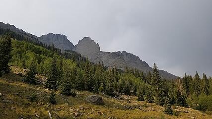
4. After the 6th crossing, follow the trail up as it steepens, then levels out where the old burn area is, and eventually reaching the base of the Prow, which is reached just under 3 more miles from the 6th crossing. The trail is very cairned and generally easy to follow despite past reports saying otherwise. Perhaps over the past 5 years or so enough people have taken it to improve it dramatically. Reall the only obstacles are the occational logs to step over or crawl under. The trail reaches a point directly below the Prow at 11,600 feet, which is where you leave the trail and begin ascending stright up.
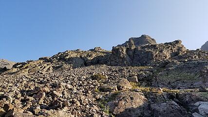
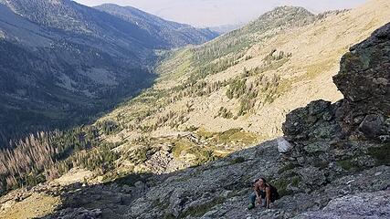
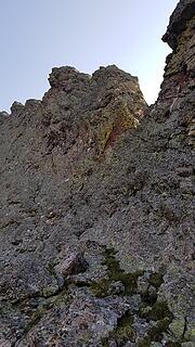
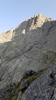
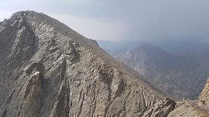
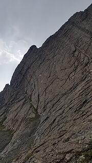
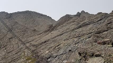
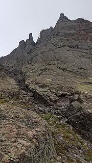
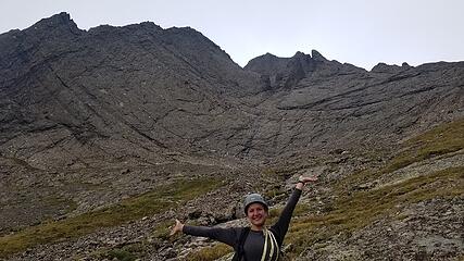
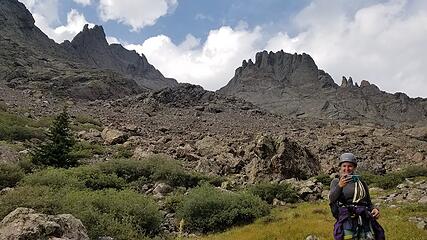
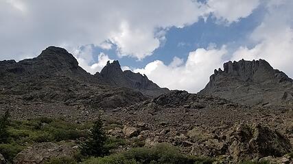
It started to get light as we approached shortly before we started the steeper part of the trail. There is a section of the valley between about 10,000 and 10,800 feet that is fairly steep, but nothing to worry about. Once we reached 11,600 feet right below where the Prow drops down from Kit Carson, we dropped one of our packs, put the harnesses on and started scrambling north steeply up the talus towards the base of the lower part of the buttress. From 12,000 to 12,440 feet we scrambled up class 2 grassy ledges and short gullies to where the lower buttress steepened, and we continued up class 3 rock on the famous Crestone Conglomerate, weaving our way straight up the crest until it flattened out for a bit at 12,700 feet. The smoke was thick, but got slightly better as we gained elevation. For some information about how devestating the fires in Colorado have been this year, read this article. The Pine Gulch fire is set to surpass the 2002 Hayman Fire as the largest in state history real soon.
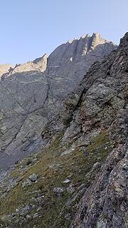
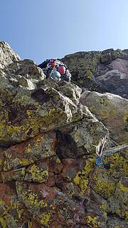
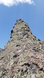
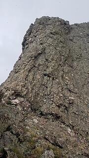
We then followed the crest, crossing just to the right of a small rock tower, then up some 4th class terrain until we reached the base of the first pitch (which most will call a scramble pitch). We solod it by veering to the left (west) side of the ridge and followed a ledge until we were right below the platform right at the crux overhang. We scrambled up a low 5th class wall with small ledges for holds until reaching the platform where we rested and finished racking up. Climbing up the crux overhang was actually pretty tricky. I gave my partner a bit of a boost since I am so tall, and she was able to lead up through it. I was also to reach uphigh over the overhang to place a small nut for some extra pro as she made the sequence to pull over. After getting up, it's an immediate traverse to the left, then continuing up on somewhat runout face climbing.
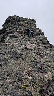
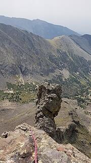
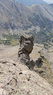
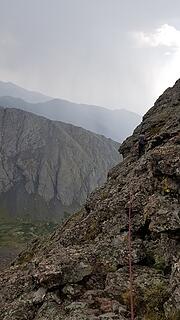
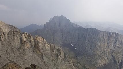
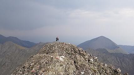
The climb itself was pretty great, with 5 pitches of fun 5.5-5.6 climbing after surmounting the 5.8 overhang. Each pitch had a perfect ledge to belay from. At the top of the second pitch, there is a really cool gendarme that must be climbed over. The third pitch descends a few feet from the top, then traverses to the next step. After the 5th pitch we started simul-climbing as the angle mellowed out, and just as we neared the top of the Prow where it intersects with the Kit Carson Avenue, it started hailing, and then I heard the rocks buzzing and got shocked everytime I tried to move my hands. We were on the worst part of the route when the storm bluw over, due to the narrow exposed fin at nearly 14000 feet elevation! We were still 40 meters apart as we hadn't finished simul-climbing yet as well. After 25 minutes of wondering if I was going to get struck by lightning, it passed, and then started to drop lightning on the Crestones just across the valley from us.
We found a nice rock cave along the Avenue to wait out the next batch of hail, which continued for nearly an hour, but luckily there still wasn't any lightning hitting Kit Carson. When I saw a potential break in the storm, we made a dash for the summit. Since the final 5.6 pitch that heads straight up the continuation of the Prow was now wet, we opted to descend the Avenue (which is a big ledge that encircles the entire south side of the upper mountain) to meet the standard route, then run up the final 500 feet of class 2 terrain to the top. We reached the top with merely minutes to spare, as another large storm was approaching from the NW. After standing on top for only a few minutes, my climbing partner noticed my hair start to stand on end, and we bolted it down! What a way to finish the 14ers!
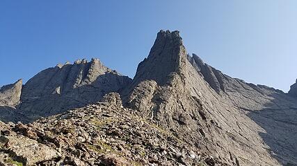
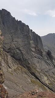
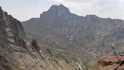
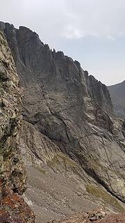
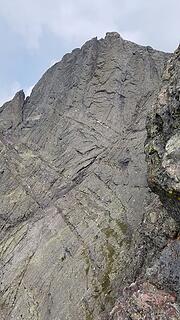
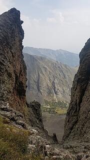
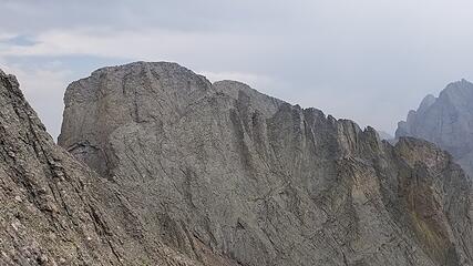
We continued descending down towards the east to the start of the south couloir. It was a straightforward class 3 descent down the skiers right side of the couloir. We did not enter the narrow couloir as it was filled with loose rubble. As we descended we got an ever improving profile view of the route we had just climbed. It was incredible looking. Once we reached the valley floor once again, it was a nice evening walk out, and we reached the trailhead just as it got dark. The 4 hour drive back to Denver was difficult, but we switched driving roles and made it back just before 1am...long day!
While this was my final 14er, I still have 4 of the Centennial peaks left to do (which are the highest 100 peaks in Colorado). As of this writing only 2 people have completed both the Colorado Centennials and the WA Bulgers (Eric Gilbertson was the second to finish both lists this summer). It's pretty likely I'll end up being the 3rd. The Centennials are 1/10 the overall difficulty as the Bulgers though.
