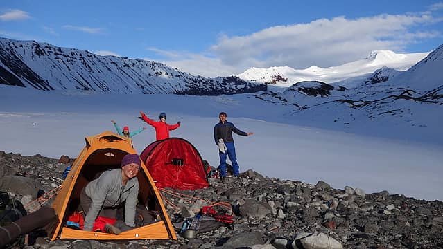
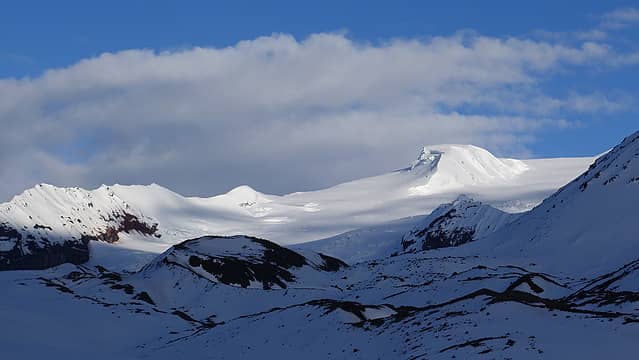
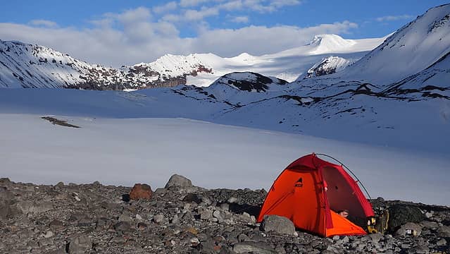
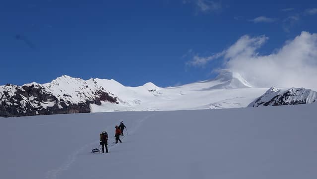
mount sanford - 16237' - Sheep glacier
june 2021
One might ask, why Mount Sanford? Most people, even Alaska locals and accomplished Alaskan alpanists have probably never heard of Sanford, or where it is. After all most mountaineers who make their way to Alaska go for objectives like Denali, Hunter, or routes above Ruth Gorge. Sometimes, more ardourous parties will venture over to Mount Logan to attempt Canada's highest peak but rarely do people look into the many other Alaskan giants in other ranges like the Wrangell, St. Elais, Chugach, and Revelation Mountains. These vast unexplored mountain ranges are where I thrive, with much less interest in the flocked mountains, and more "at home" in the obscure and unknown areas.
The idea to climb Mount Sanford originally came about during discussions I have with my friend Jamie in Colorado. Initially, Jamie discussed the idea of indeed going for Denali back in February and I expressed a mild interest, but was also trying to find potential partners for a possible trip to the Ruth Gorge, or better yet, Little Switzerland (rugged lower elevation group of granite alpine spires just south of the core Alaska range). I also had some email coorespondence with a couple others about possibly attempting Denali from the north via the Muldrow Glacier, but once I realized air drops of food/gear is prohibited on the north side of the park, I was out, having no interest in carrying 100 pounds of mostly food for 30 miles up the Muldrow Glacier from the Eielson Visitor Center. This trip would have been doomed for failure immediately this year anyways due to the Muldorw Glacier Surge event that started in about January this past winter, and likely continues now. It is unlikely the northern route up Denali will be feasible for at least the next 3 years due to this event.
Come late March, Jamie reached back out to me to see if I would be interested in going for Mount Sanford. He was already pretty set on the idea, and already had invited our friend Emily to join, who was also quite interested. Given the overall gentle nature of this Alaskan giant, I expressed interest in skiing the mountain, but did not want to be the only one skiing it. Not wanting to be roped with just one other person on snowshoes, they were happy for my recommendation to invite my longtime friend Josh from back in WA, and a new friend of mine Laura in Denver. We were all happy with the group of 5, and Laura also expressed an interest in skiing the mountain as well. Naturally, Laura and I would rope together as a team of two, while the other three went as a second rope team. The main issue still at large though was whether I would be able to wear my AT ski boots for 10 days without excruciating pain. As it is, my feet hurt a lot just skiing in them for one day, because they are too small. Problem is, ski boot manufacturers still do not make a ski boot big enough for my feet. The ones I have (Scarpa Maestrale) are a size Mondo 32...the biggest size anyone makes. Still, they are at least a size and a half too small. In an attempt to imrpove the situation, I took the boots to a local ski shop to have the plastic shell punched out to hopefully make them bigger. After it was all done, and he punched them as much as possible without damaging them, I tried them on, and pretty quickly realized that 10 days in them was still out of the question. I broke the news to the team, and we would all be going in on snowshoes...not the end of the world, but I was pissed nonetheless. I still cannot believe ski boot manufacturers do not make any AT ski boots in anything bigger than a US size 14! Just despicable...
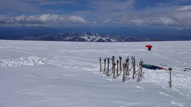
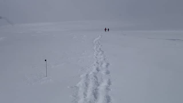
Not being able to ski may have been a blessing in disguise though since our gear weight was already enormous. We started conducting planning meetings once every couple weeks throughout the spring, discussing how much fuel, which gear to bring, how we would divide up group gear etc. We agreed we would take two mountaineering sleds for the group, which Jamie had. A 50 inch wide duffel bag was purchased to be able to fly up to Alaska with them however, as well as to carry 400 bamboo wands that we decided to bring up the mountain with us to mark the route every 60 meters or so from the start of the glacier all the way to the summit. Despite my efforts to convince the group that 400 wands was incredibly overkill, I made 300 of them for the team, while Laura made the other 100.
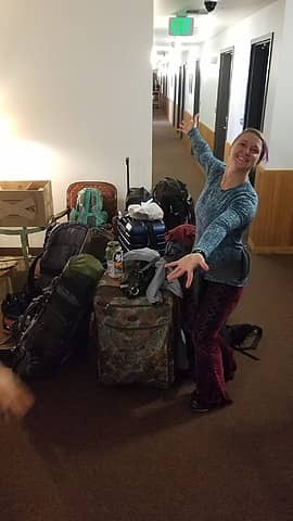
Once we decided on the dates for the trip to be June 5-19th, I was able to get everyone in the team $80 round trip tickets from Seattle to Anchorage. Laura and Jamie then got their own airfare from Denver to Seattle, and Emily made it up to Anchorage from San Francisco on a separate flight. Last minute gear purchases, food planning and logistics were done the first week of June and I made plans to meet everyone at the Seattle airport at 8pm the evening of our flight on June 4th. Jamie and Josh met me by the Delta check in counters, Jamie having the large duffel bag with the sleds, and me walking in with a bundle of 300 wands, each about 3 feet long in addition to the rest of my gear. These wands needed to fit in the duffel bag, and all our metal items like pickets, ice axes, snowshoes, shovels etc needed to fit into the checked bags without going over weight. After 45 minutes of shuffling gear around with roughly 16 foreign families looking at is with utter confusion, we managed to get everything packed up in such a way that we would not be charged extra for oversize bags. The rest of the trip to Anchorage after that went smooth, which we landed shortly after midnight, got a taxi to the Sockeye Inn and managed to get a few hours of sleep in a cramped room without blinds covering the window...remember, it is never dark up here in June!
I did extensive pre-planning work regarding how we would get transportation to Glenallen from Anchorage, while Jamie took care of the planning for our bush plane flights onto the mountain from Glenallen with Copper Valley Air Service. I also coordinated with Chris Tomer to send us weather forecasts for Mount Sanford to my Inreach. He has successfully sent accurate weather forecasts for mountain climbing expeditions all over the world. My friend Chris (different Chris) who lives in Anchorage got me in touch with Katy, who works as an Uber driver in Anchorage and she was more than happy to take us the 3.5-4 hours from Anchorage to Glenallen, and even come back to pick us up after our climb was over. Essentially what we did was call for an Uber ride to Glenallen once she was already at our location, and the app would immediately pair us together. This was much cheaper than any of the alternatives such as flying, and much more flexible than the restrictive Interior Alaska Bus Line that only runs on specific days. Plus, we ended up having rides around town when needed and a personal connection made which was awesome to have.
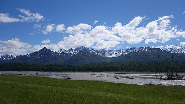
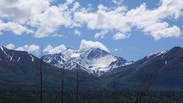
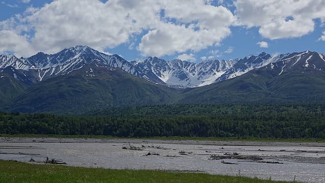
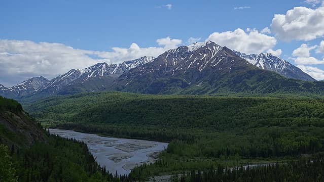
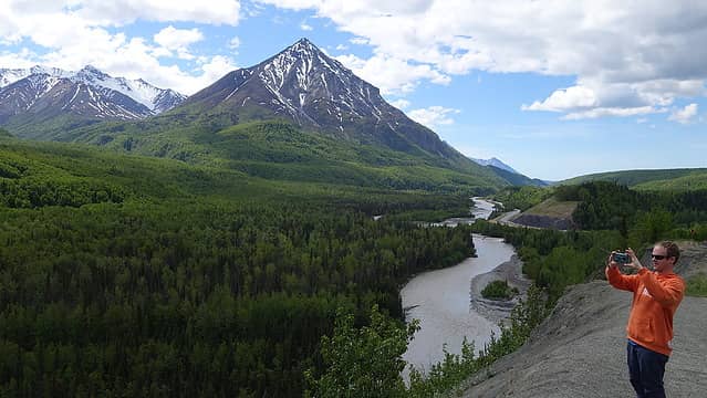
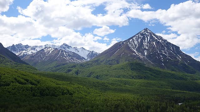
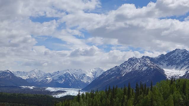
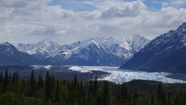
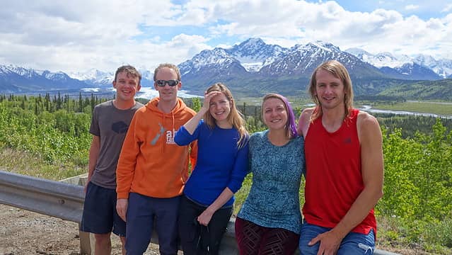
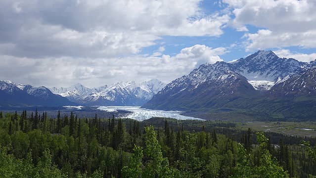
The next morning, the four of us made a couple stops around the hotel which included a stop at the Alaska Mountaineering and Hiking store to buy all the fuel we will need (fantastic store highly recommend), and a grocery store for last minute food items. We purchased two gallons of white gas and six 8oz canisters of fuel, since we would hgave bothg stove types with us on the climb. Emily landed in Anchorage from San Francisco, our last team member to arrive and Katy picked her up at the airport on her way to the Sockeye Inn to grab the rest of us. Katy had organized with a friend of hers to ride behind us in a separate vehicle where all of our gear would ride, allowing us to sit more comfortably in her large SUV. By 11am we started the drive north and east to Glenallen along the Glenn Highway. This beautiful drive takes you around the north side of the incredible Chugach Range. With a perfectly clear day, we saw some of the highest peaks in the interior of the range such as Marcus Baker, the highest mountain in the Chugach. Pioneer Peak rose high above the Mat-Su valley and countless other high peaks were visible from the drive, and after the 10th time asking Katy to stop for photos, I'm sure she thought we were weird, as she claimed most people would rather stop to get a closer look at the trees, wildlife, or waterfalls, but our group couldn't stop talking about the mountains! At a large pullout across from the Matanuska Glacier we stopped to take a bunch of photos.
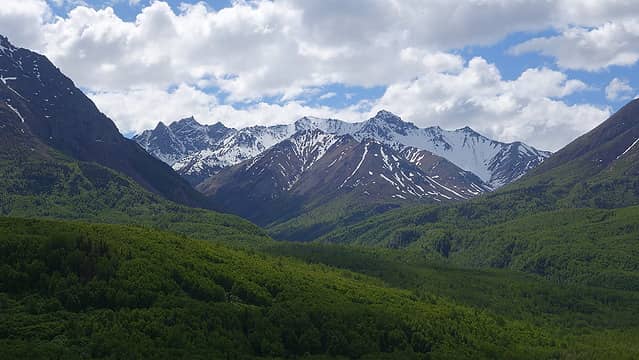
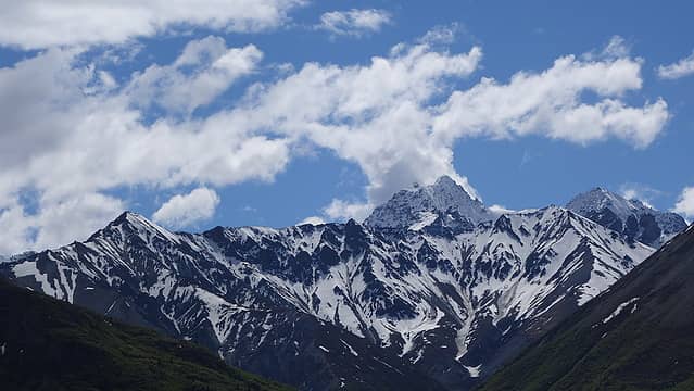
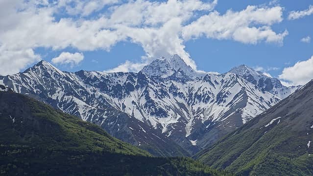
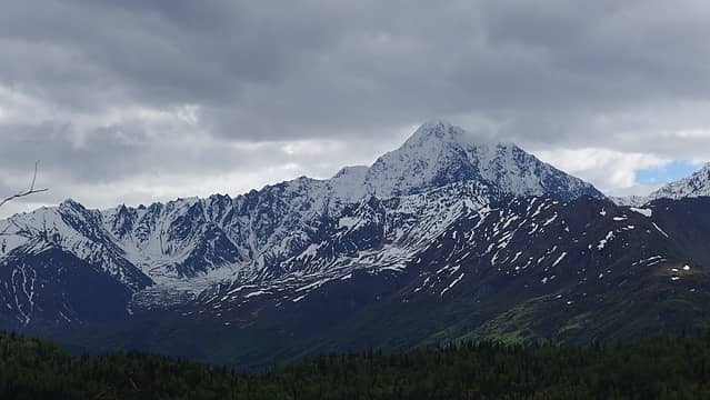
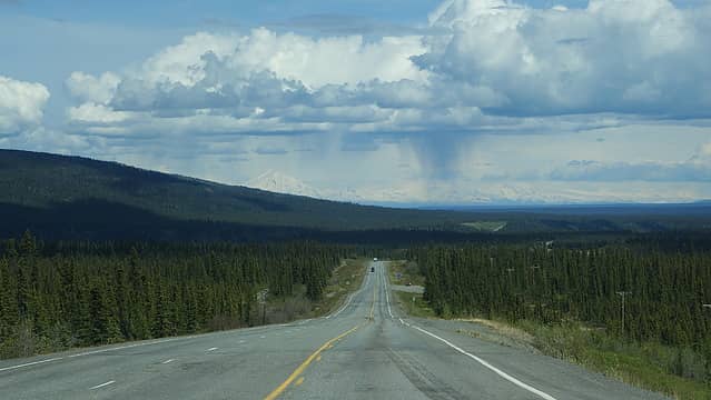
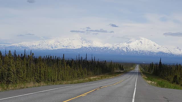
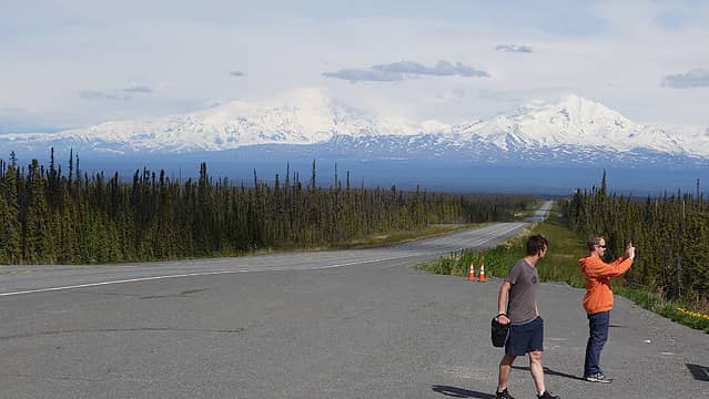
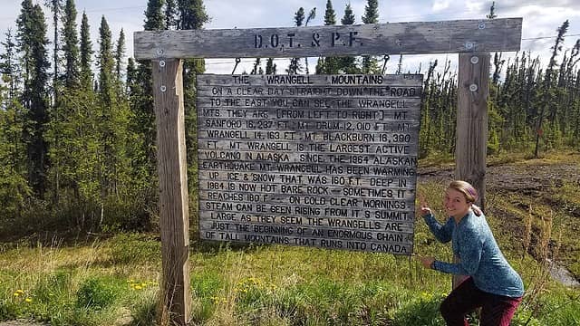
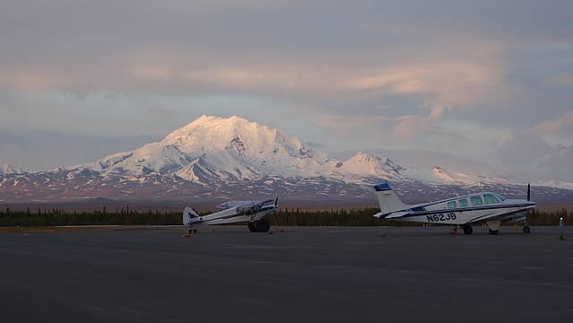
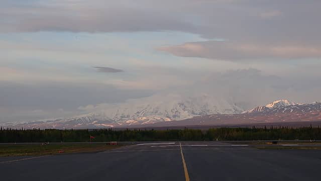
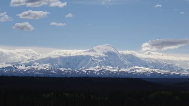
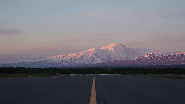
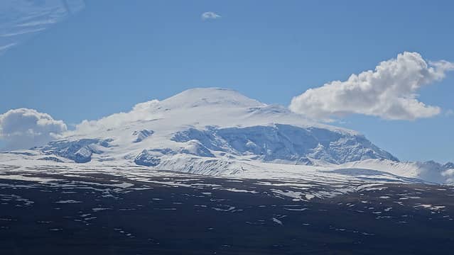
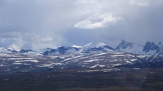
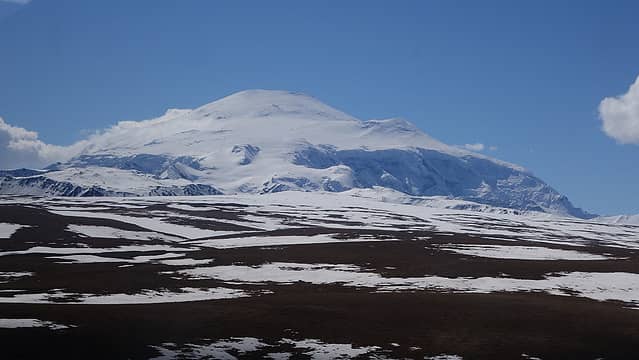
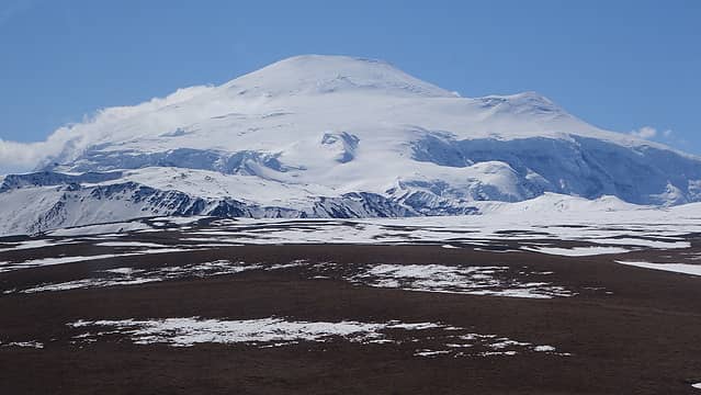
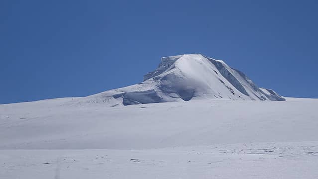
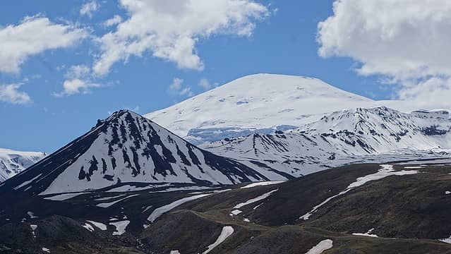
We continued the drive, as some clouds slowly blocked the clear skies we had enjoyed earlier and stopped for an excellent lunch at the Eureka Lodge. The pies at this place were literally to die for, but I remembered I still had a mountain to climb and a team to not let down, so I managed to stay alive eating two pieces of pie, ice cream and a burger. It was about an hour more drive to Glenallen from Eureka, which we soon started to see Mount Sanford up ahead for the first time. Situated on the far eastern edge of the Wrangell Mountains, Sanford rises to 16,237 feet and has 7,638 feet of prominence, with its parent peak being Mount Blackburn located to the east. Our excitement exponentially grew once we were able to see Sanford and the requests for photo stops tripled. From the highway, Sanford was the big mountain on the left, with Mount Drum on the right.
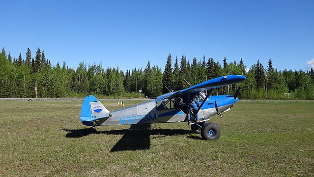
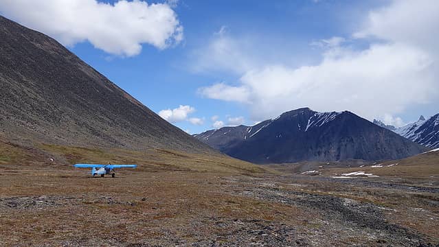
Upon arriving in Glenallen, Jamie called the Boniek's (owners of Copper Valley Air Service) to inform them we had arrived, and when she asked exactly how we said Uber. Shocked, she wondered how such a thing was possible, and directed us a few miles north of town to the small airport where we would be able to stay the night in their hanger and have a place to organize gear. We unloaded everything from the second vehicle and thanked Katy. I sent her a test message over my Inreach and informed her I will let her know when we are ready to be picked up. We immediately started organizing all the gear to prepare to fly to the mountain the following morning. Group gear was divvied out, food was triple checked to ensure we had enough for a maximum of 12 days, tent inspections, clothing choices etc. After a few hours of organization and packing up the packs and two sleds, I weighed by pack at 64 pounds, which was about how much all our packs weighed. We determined an order we would each fly in, and agreed Jamie would go first from Glenallen, while the rest of us would take one of their vans up the highway to Chistochina, where a second grassy landing strip would allow for shorter flights shuttling us onto the mountain one at a time. With just a Cessna 140 plane with large rubbery tires, only one person was able to fly in at a time. Unfortunately, we Jamie was in the air with the pilot flying him in first, and the rest of us driving to Chistochina, we were informed the pilot was forced to turn back as soon as he turned into the Boulder Valley on the NW side of Sanford due to strong winds, preventing a safe landing. He landed with Jamie at Chistochina just as we all arrived in the van and we waited there for about an hour to see if the winds would subside but they didnt, so we would have to wait to fly in until the next morning.
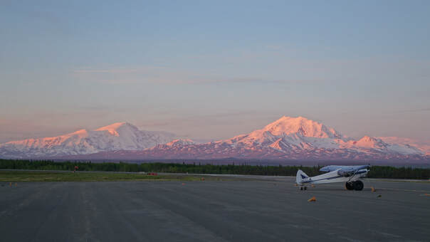
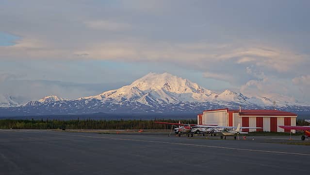
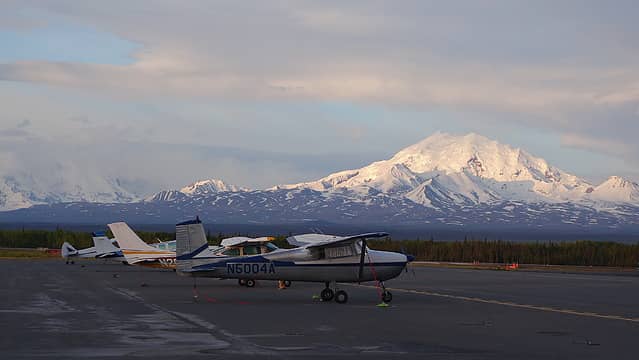
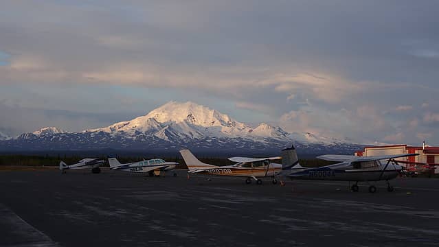
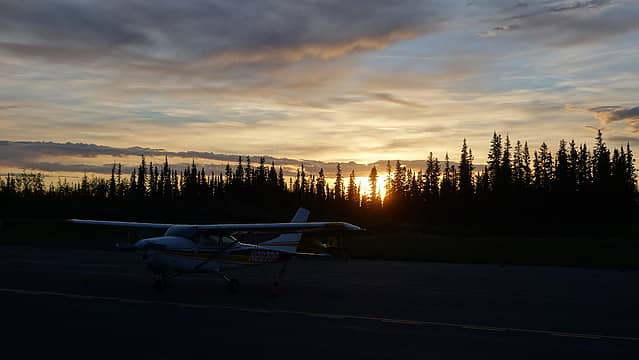
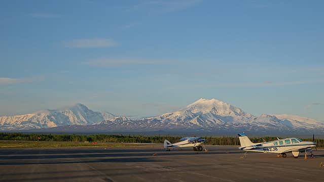
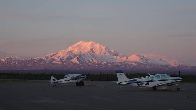
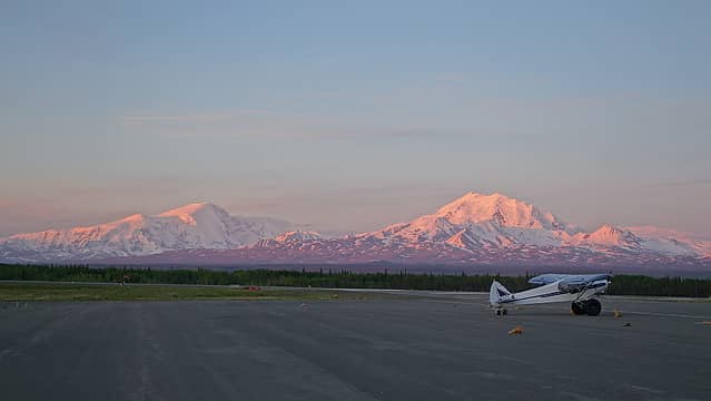
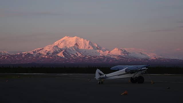
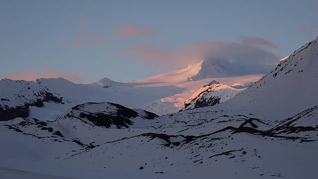
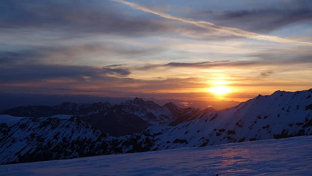
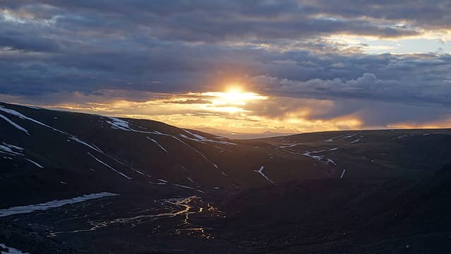
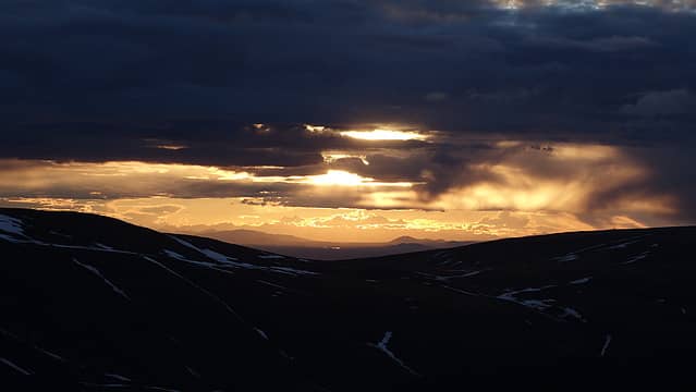
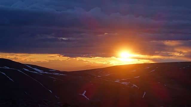
We returned to the hanger at the Copper Valley airport and relaxed in the pilots lounge for awhile, chatting about mountains, taking photos, painting, and resting. We were able to grab a nice pizza dinner in Glenallen at the hardware store (yes, pizza at the hardware store haha). As the afternoon turned to evening and the evening to twilight, I took some sunset photos at 11:30pm. It's incredible the sunset lighting and red glow lasts over an hour this far north making for ample time to take pictures. I roamed around the airport to get the best angles of Mount Sanford at sunset for awhile before finally going to sleep.
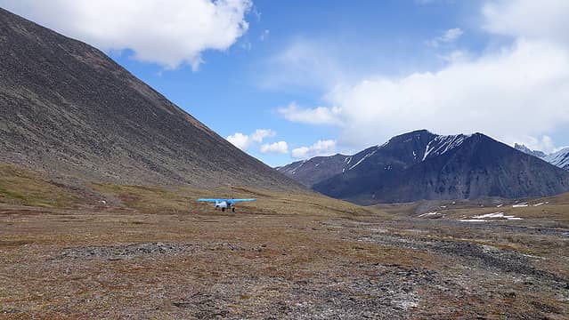
The next morning we started a little earlier in the morning to take advantage of the early morning calmness, and Jamie took off in the plane at 7:30am while the rest of us drove back to Chistochina. We knew Jamie had been dropped off successfully at Sheep Creek when we beat the pilot there. Ten minutes after we arrived, and were chatting with the owners of the Red Eagle Lodge, Kevin (pilot) landed and was ready to pick up Emily, who would fly in second. Once she was dropped off, she joined Jamie as they started walking up the valley with the first sled, blue in color that Jamie named Oscar and had about 35 pounds in it. Josh went in third, by this point it was about 45 minutes from the time Kevin took off from Chistochina to fly into Sheep Creek, drop the person off, then fly back to Chistochina to load up and take off again. I was the 4th to fly in, and I brought the second sled, red in color that remained unnamed until after we summitted but would eventually be dubbed red rover. I had about 60 pounds in it, plus the 64 pounds on my pack making this the most weight I had ever hauled on a mountain in my life.
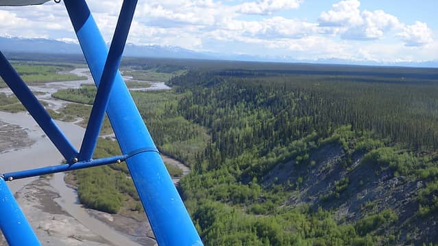
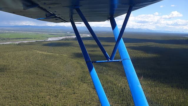
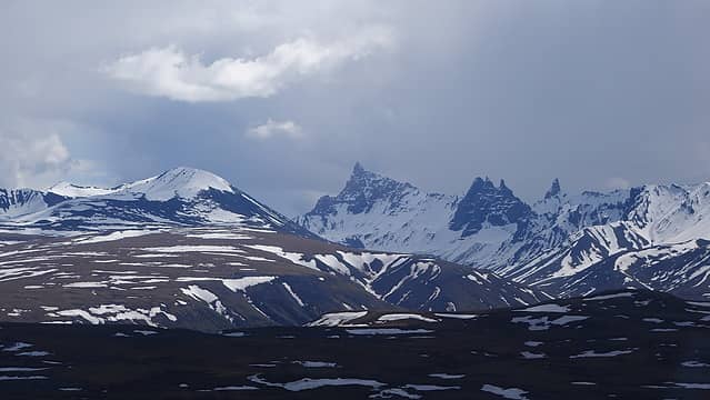
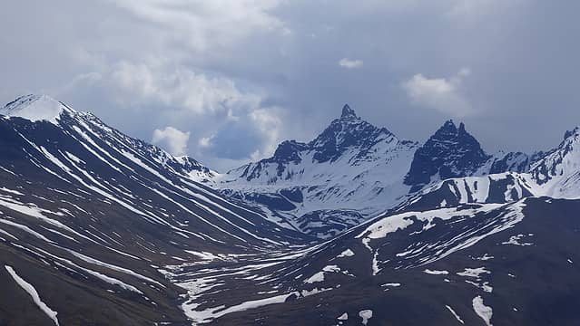
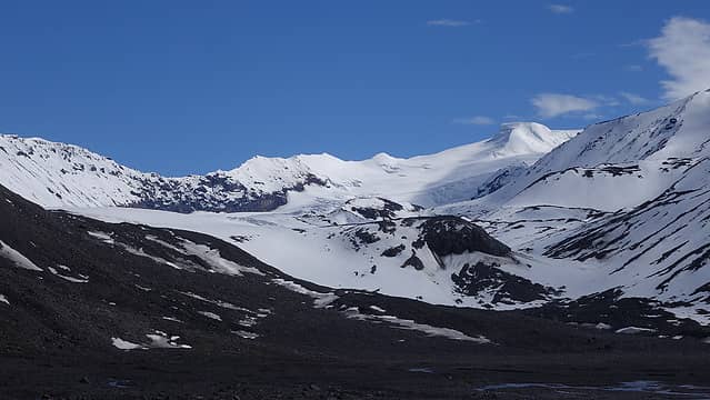
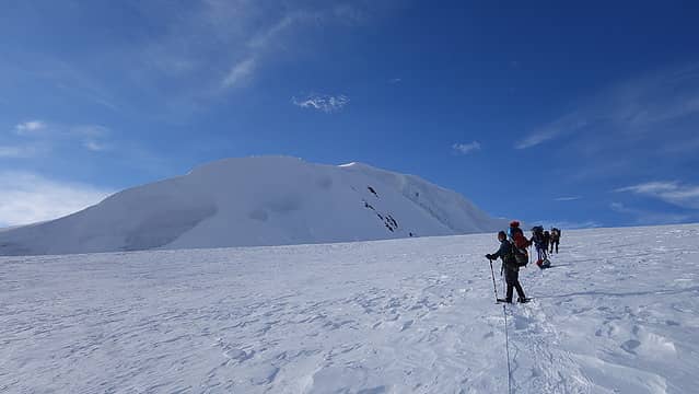
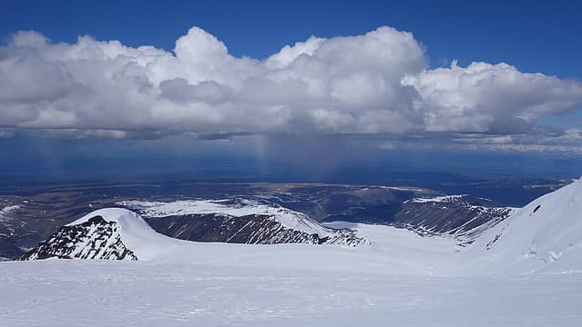
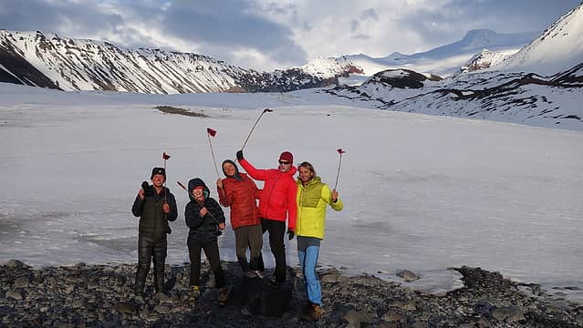
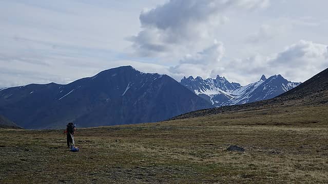
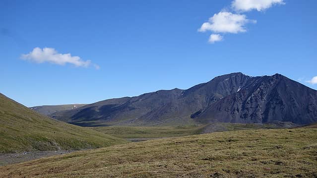
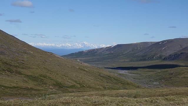
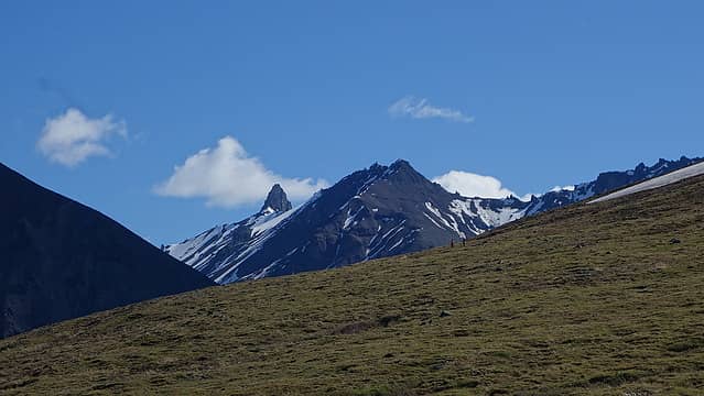
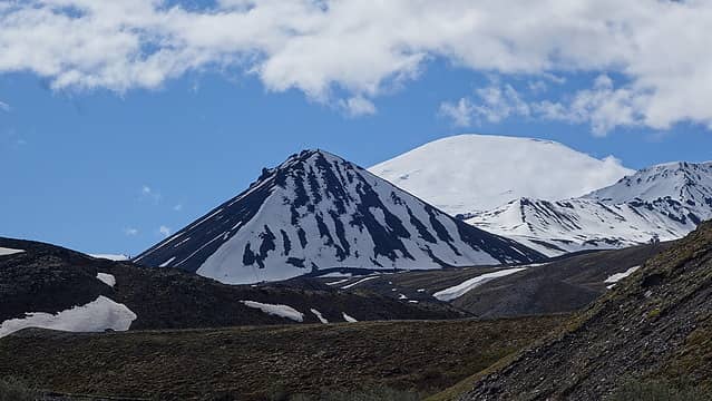
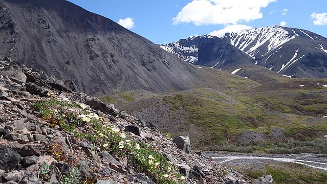
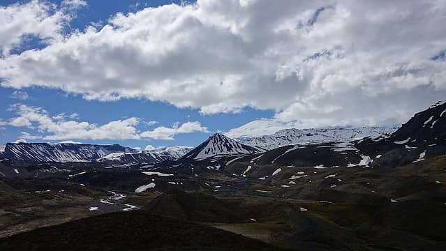
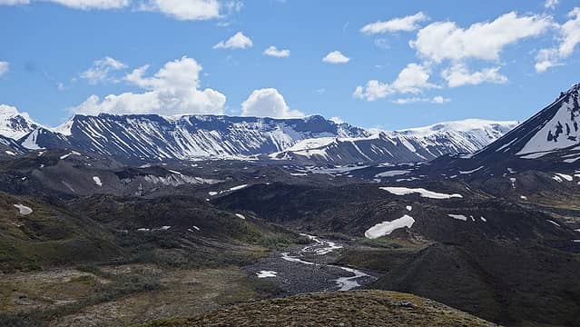
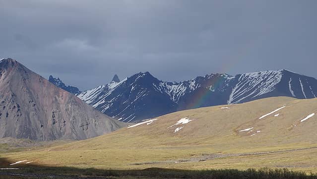
The flight in was gorgeous, as we quickly flow over the Copper River, which is the only main serious obstacle preventing someone from walking in from Chistochina once it's thawed out. I flew over an expansive area of scraggly forest, which changed into brushy slopes, then to tundra as I got closer to the mountain. Views of Sanford were incredible, and the full route was visible right in front of us as we flew closer, which headed up the continuous slope of snow to the left of the large cliffs on the NW side of the mountain. Rugged looking Capital Mountain which looked like a steep pyramid or arrowead was also impressive to look at, despite being dwarfed by Sanford. As soon as I was dropped off, I started right away up the valley knowing that Laura, who flew in last and Josh, who waited at the landing site with the red wind tape for the pilot would be faster than me not needing to pull a sled. Laura arrived, and all 5 of us were in...the climb officially began. See the short summary version below for an overview of our days spent on the mountain and where our camps were. A map of the route and our camps is also included at the end of the report.
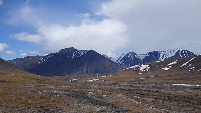
Day 1 - June 7th: Dropoff at 4400 feet in Sheep Creek. Move up valley about 3 miles to start of Sheep Glacier and make camp 1 at 5750 feet on a rocky flat merely 100 feet from the start of the glacier. Cache extra fuel and food.
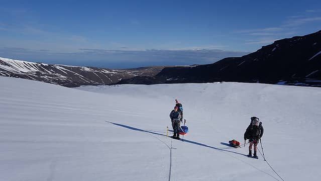
Day 2 - June 8th: Hike up the lower glacier and through the lower headwall and crevasse field a distance of about 3.5 miles and make camp 2 at 8200 feet. I cached my leather hiking boots here to climb the rest of the mountain in my mountaineering boots, and some extra food.
Day 3 - June 9th: Continue up the glacier another 2.75 miles to the right of the large ice/serac covered rocky rib and make camp 3 at large flat area at 10,800 feet. Cached the red sled, extra food and fuel, and 100 unneeded wands here, confirming my beliefs we had more wands than we needed.
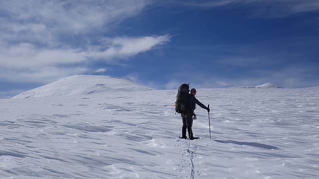
Day 4 - June 10th: Continue to the 13,200 foot high camp (camp 4) at the large broad saddle area between the summit, and the small hill just NW of the summit. Distance travelled 2.6 miles. This was the only day with bad post-holing and trailbreaking which slowed us down despite lighter packs. Camped and prepared for summit the next day.
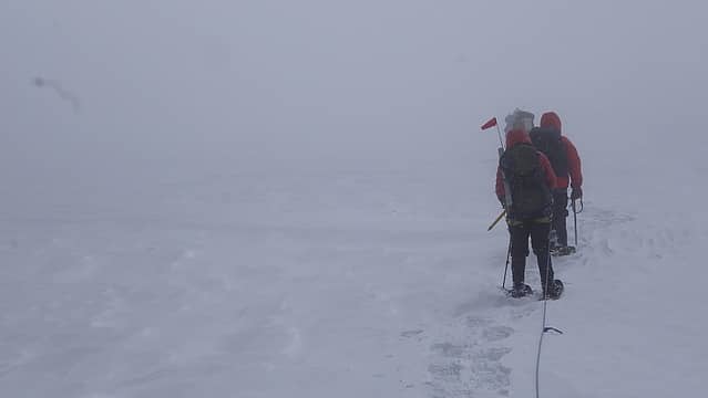
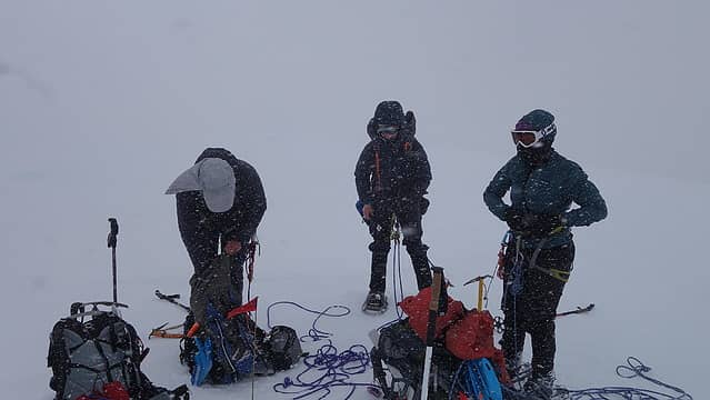
Day 5 - June 11th: Left our tents and overnight gear, continuing with day packs and ascended to the summit. Total whiteout and snowstorm began just as we reached the top, making the descent much more tiring and slow with whiteout conditions. Camped at 13,200 foot high camp a second night.
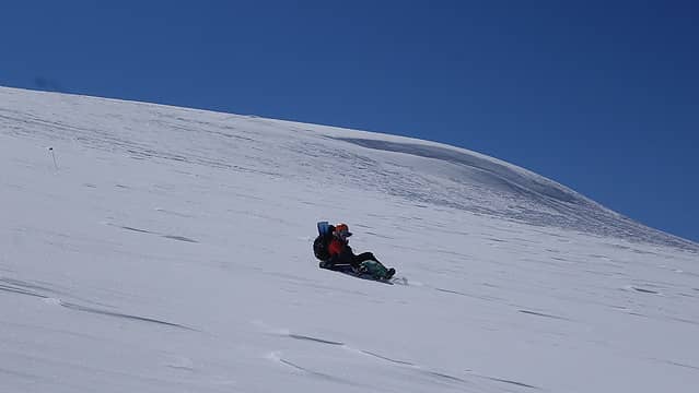
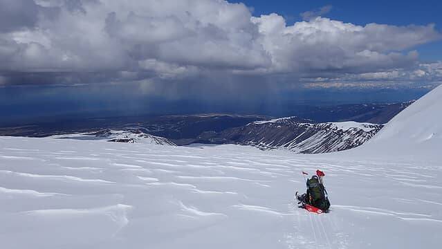
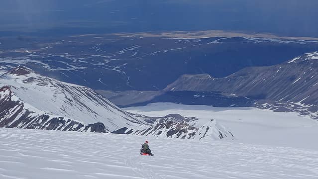
Day 6 - June 12th: Packed up camp and descended back to camp 1. Took turns literally sledding down the mountain on the sleds where crevasse danger was very low...had tons of fun! Picked up our gear caches on the way down. Reused our tent platforms at camp 1.
Day 7 - June 13th: Returned to 4400 feet in Sheep Creek and informed pilot we were ready for pickup. Scheduling did not allow for us to be picked up that afternoon. Camped next to the landing spot on pleasant grass and relaxed.
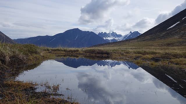
Day 8 - June 14th: Hoped to be flown out this morning, but pilots were busy all day. Went for a hike around the valleys and explored around. Josh and I attempted 7700 foot Capital Mountain to the NE but could not safely cross the Boulder River. Camped another night next to the landing spot.
Day 9 - June 15th: All flown out in the morning, celebrations commenced back in Glenallen.
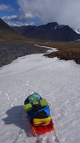
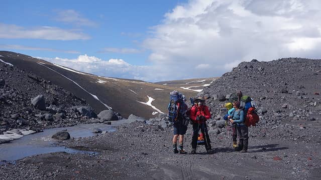
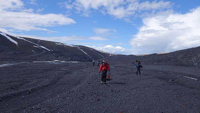
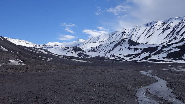
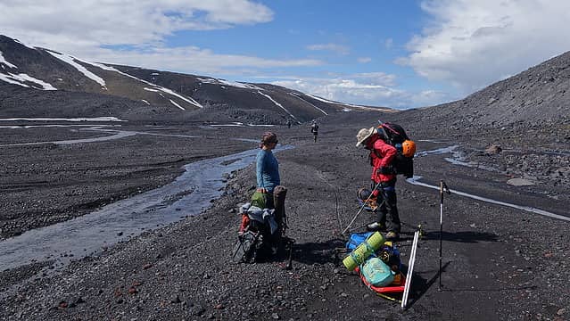
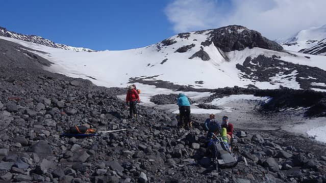
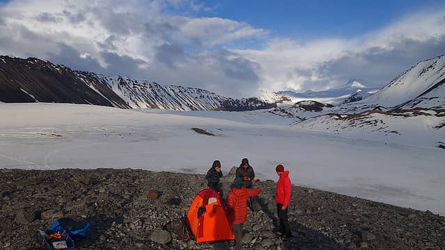
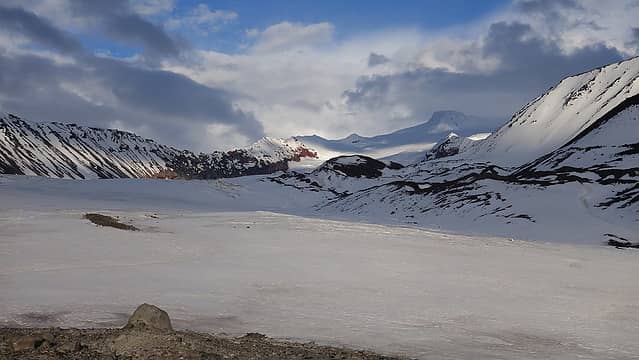
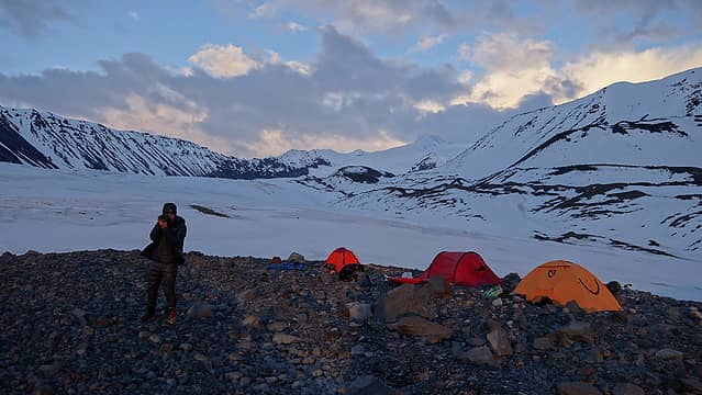
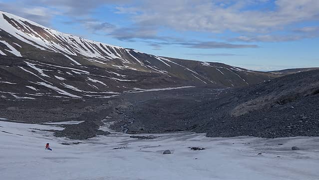
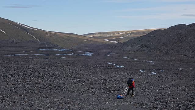
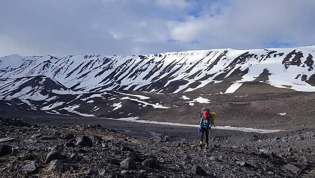
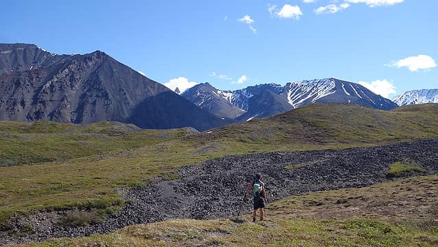
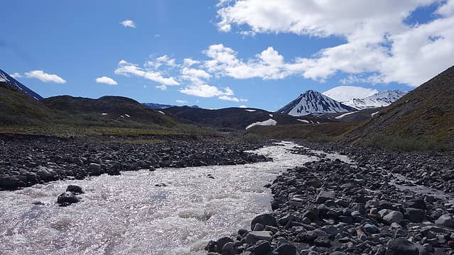
It was a very good thing I was fresh that first day, because hauling the sled over bare ground and rocks was total misery. Large grassy tussocks with mud and water between them kept threatening to tip the sled over and soak the stuff on it which really slowed me down. Dragging it over the tundra was not too bad overall, but once we made it up the first couple miles we reached the terminal moraine of the Sheep Glacier. Rather than drag the sled through large boulders and over the rocky terrain like Jamie was having fun doing with Oscar, Josh and Laura helped me carry the sled over the rocky sections. 60 pounds was just too heavy to try and drag it over glacial moraine without breaking it,and since the red sled was borrowed from one of Jamie's friends we limited the amount of time it was dragged over rocks. Jamie was fully content to destroy his blue sled though! The worst part was moving up through where the creek cut through the end of the terminal moraine. It was raging and the little snow that remained was dangerous since our feet would punch through. Additionally the rock was very loose so carrying the sled through this narrow spot with a raging creek just next to us was slow going. Just above this crux section there was a long flat sandy area that allowed for easier passage and I was able to resume dragging the sled. We spotted what looked like would be a great rocky flat area just up the first hill directly across the sandy flats and we agreed we would camp there. We finally got onto a more continuous snowfield and continued a few hundred feet up to the top of the rocky rib, where we indeed found excellent spots to make three tent platforms and build our first camp off the snow.
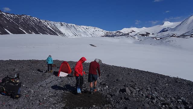
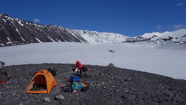
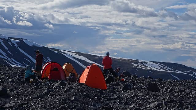
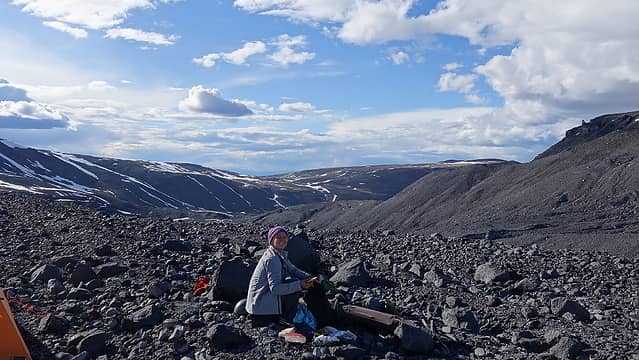
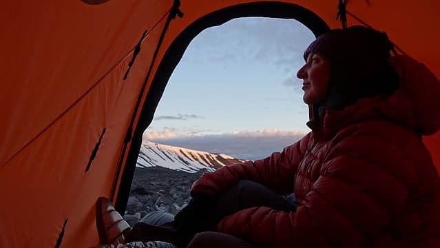
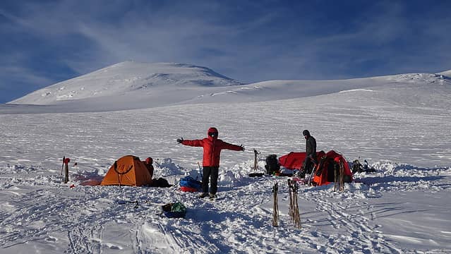
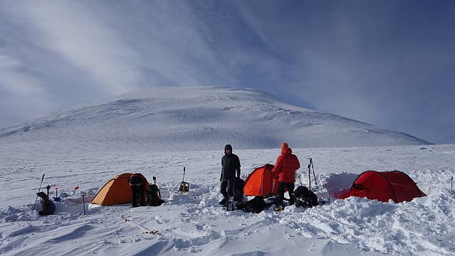
Between the 5 of us, Emily had her own tent, while Josh and Jamie shared a tent and Laura and I shared my Nemo Tenshi tent. Each tent group ended up mainly responsible for setting up their own camp each day. It didn't take long for us to get the tents up, rock chairs made and dinner started, but Jamie and Josh proceeded to create pavement for their tent pad, removing every single rock, regardless as to how microscopic it was  so it took them longer to get their tent up. We all relaxed over dinner, excited to be done with the heaviest day and looking forward to what lie ahead. The weather forecasts from Chris looked great for the next week, so we felt comfortable caching quite a bit of extra items at this first camp. We enjoyed a beautiful senset and got some good rest.
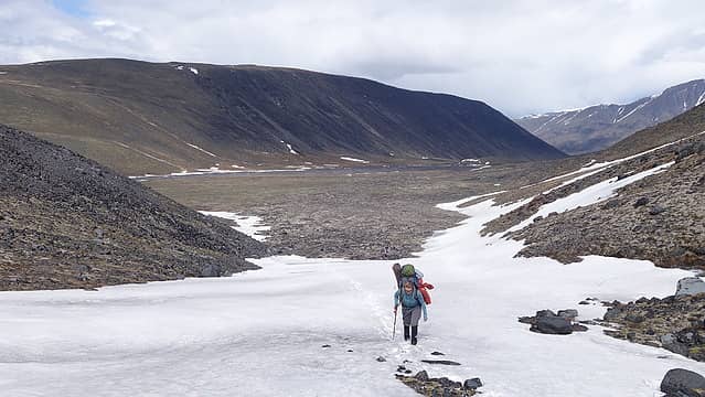
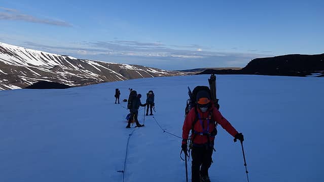
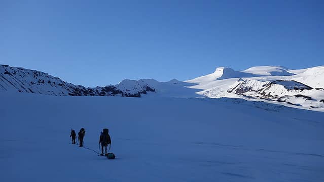
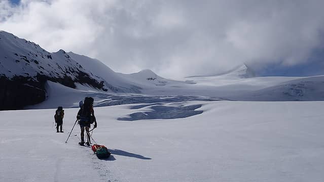
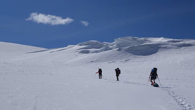
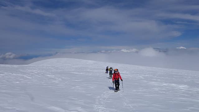
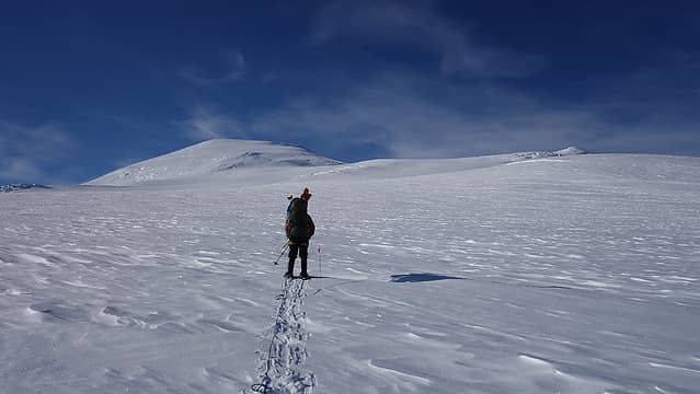
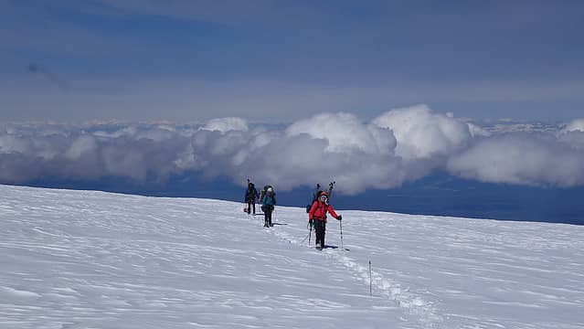
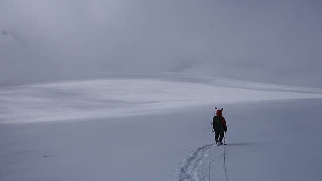
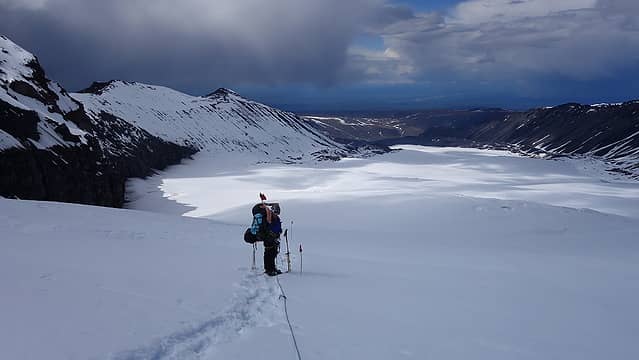
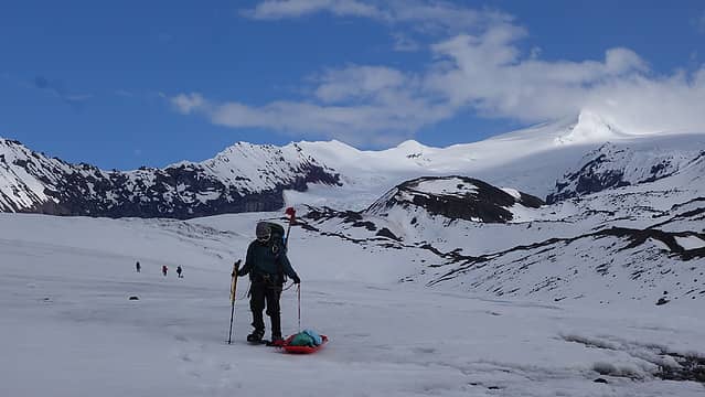
We would make it a habit of setting the alarm for around 4am, which gave us a few hours each morning to get situated, eat breakfast, pack up camp and rope up so we could be moving each day sometime between 6:30 and 7am. I never needed to use the stove in the mornings because I just would eat cereal and powdered milk for breakfast, and would ensure my bottles were all full the afternoon before. Because of this, I would set my alarm for 30-45 minutes later than the rest of the team. By about 7 we were roped up, and ready to go. Laura and I started up first, and the lower glacier was easily navigated and rose only 1200 feet or so of elevation for the first 2.5 miles. As we approached the crevasse field and headwall of the lower glacier, we located a safe route through the crevasses in the middle of the glacier where the angle steepened. Laura and I traded off hauling the red sled up the glacier throughout the day, while Josh took the blue sled the whole second day, since Jamie had it all of day 1.
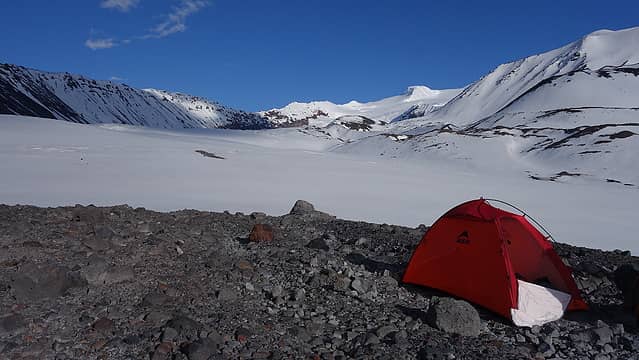
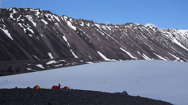
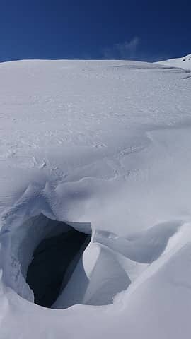
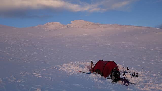
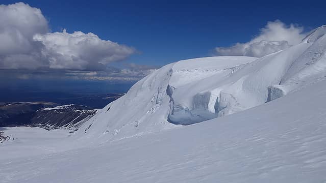
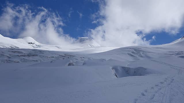
We made it through the crevasse field without incident, where only two crevasses with defined snow bridges required crossing. All other crevasses were very well buried under copius amounts of snow. Along the entire way, we placed wands every 60-80 meters. Above the crevasses, we reached an area of deeper snow and had to take turns breaking trail the remaining bit to camp 2, which we reached by cutting right above the crevasses to a nice flat bench at the south end of the rocky ridge extending on the west side of the lower Sheep glacier. Here, this ridge dives under the glacier and creates a flat spot at 8200 feet, and a safe spot to camp. We dug tent platforms, a bathroom area and made camp pretty quick under an intense warm sunshine. Both Josh and I were in shorts and tshirt most of the day hiking to camp 2, but due to the lower angle of the sun and the use of SPF 70 sunscreen we didn't get sunburned. Once camp was made, I had my signature Little Annies mac and cheese for dinner, and we got all the stoves going to melt water for everyone. Sleep came pretty easy for me that night.
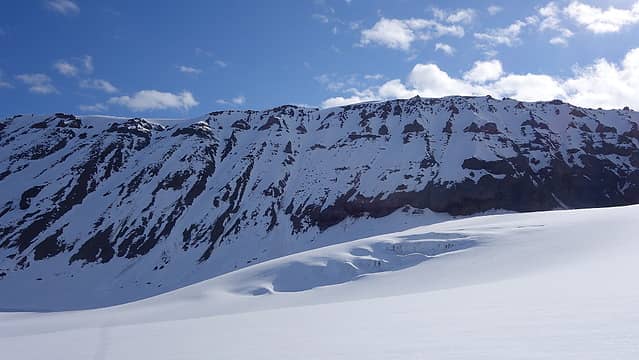
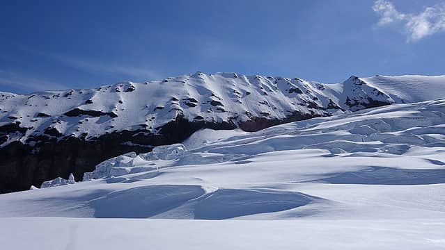
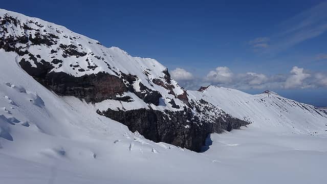
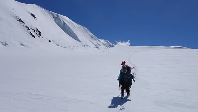
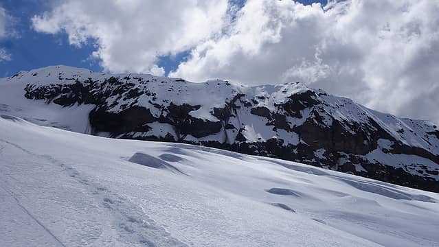
Upon awaking the next morning to Jamie and Josh moving around camp, Laura and I rolled over and rested for another 30 minutes before emerging for the morning. It was 4:30am and the sun had already been above the horizon for well over an hour. Once we were all packed up, we continued up the mountain passing to the right of a large ridge bisecting the narrowest part of the Sheep Glacier as the route rises between two very large cliffy parts of the mountain. To the right (west), a 3000 foot cliff drops off and to the left, over the ridge we traversed along the base of there is a huge icefall on the Boulder Glacier that drops 4000 feet. Mellow 20-30 degree slopes between these two features allow easy passage to the upper part of the mountain however. Also, since the ridge was blocking the sun in the morning as we ascended from 8200 feet at camp 2 to about 9500 feet, we were in the shade, which allowed firm snow perfect for travelling up without post-holing.
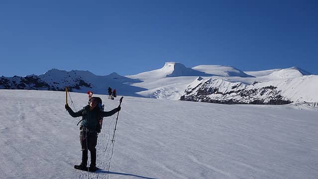
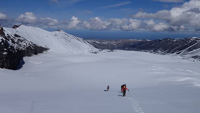
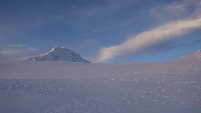
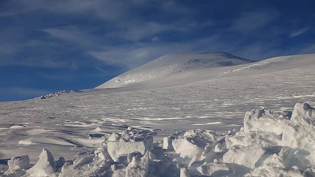
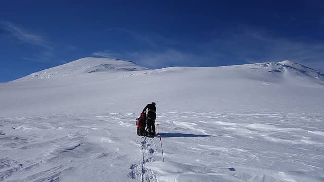
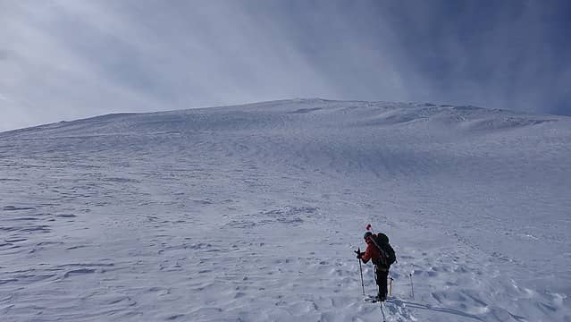
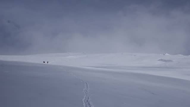
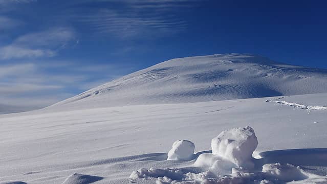
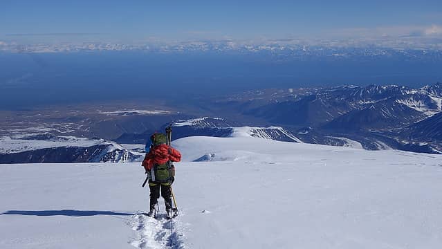
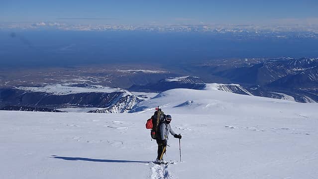
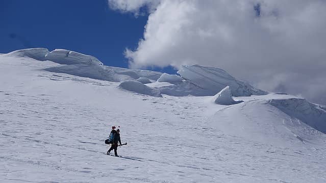
We reached the top of the hill and the terrain mellowed out quite a bit at 9800 feet. The next 1000 feet of gain to camp 3 was on a very broad ridge as we worked our way towards the large flat bench at 10,800 feet. Despite the terrain getting flatter, hauling the sled was starting to get more tiring. Luckily the sun was still out, and the light puffy cloud variety occationally gave us a repreive from the intense sunshine. Laura and I continued until we found a suitable spot on the very wide flat area to make camp. This was an impressivly large flat region of the mountain about a half square mile in size, but looked much smaller than it really is since there was nothing but white on the ground with the occational large crevasse or serac in the distance. It was extremely hard to get a frame of reference. From this spot, the summit was directly in front of us, and looked pretty close by, but in reality it was still 5 miles away, and 5500 feet higher! We setup camp, digging nice platforms and enjoyed a nice nap in the tents before starting the process of melting snow once again.
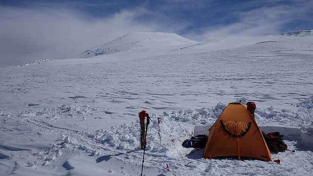
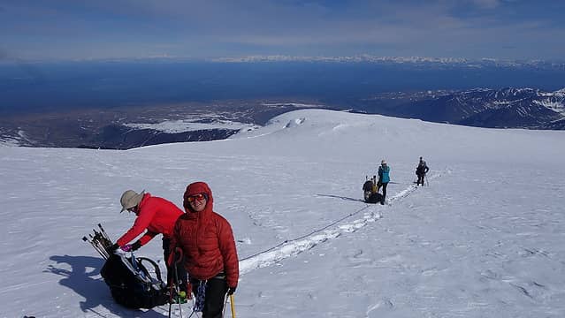
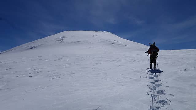
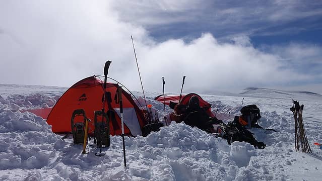
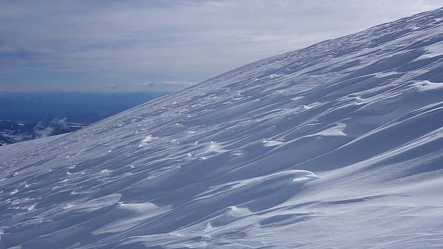
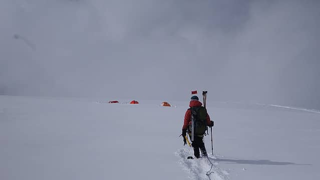
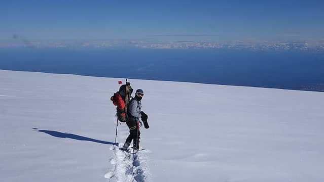
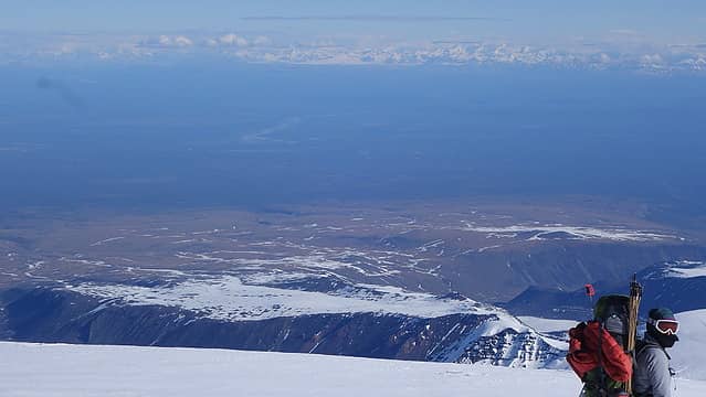
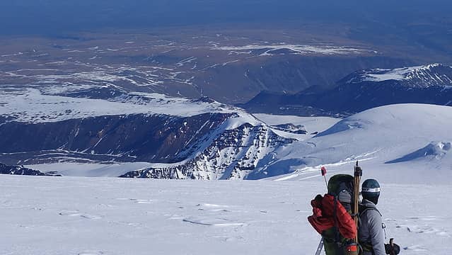
We cached more gear, including the red sled at camp 3 and left a bunch of extra food and wands in the duffel bag with the sled. We only wanted to be at high camp at most two nights, and with the promising weather forecast, we were able to shave a lot of weight here. Again, at about 4am the next morning we emerged, ate breakfast and packed up camp to begin another 2400 feet of elevation gain to high camp. It didn't take long though for us to begin post-holing down about a foot on most steps as we began ascending the 20 degree north facing slope to the big saddle just NW of the summit. The north slopes are generally a leeward slope so excess snow gets deposited on these aspects which made our progress more difficult. Jamie, Laura and I rotated breaking trail for the team, while Josh again hauled the blue sled all the way from camp 3 to high camp. Thankfully the sled was fairly light at this point, with just Jamie's and Emily's tents, and 120 wands remaining in the sled. After about 6 hours, we reached high camp at 13,200 feet and I made sure to choose a spot where we could have sun in both the afternoon and early in the morning without being shaded by the lower peak to the west or from the main summit to the southeast.
We again broke out the shovels and started digging...at which point I again had this song stuck in my head all afternoon...along with every other day we made camp in the snow 
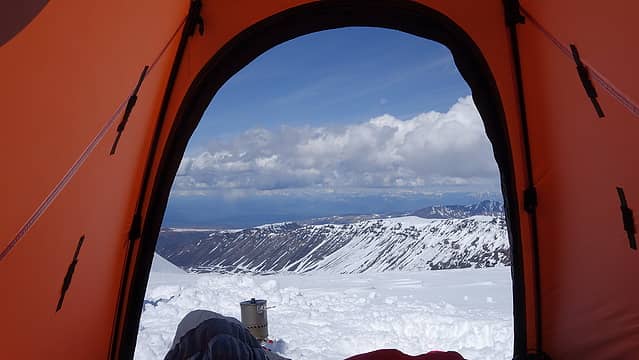
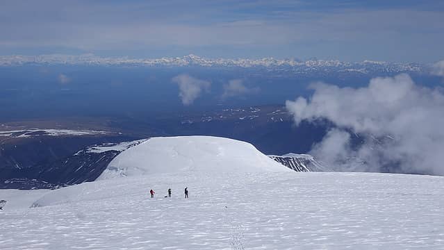
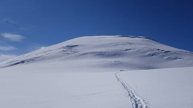
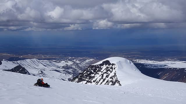
With camp made, I went into the tent and only everged once for the rest of the day. Digging tent platforms with cooking pits at the foot of the tent makes it easy to do everything from the tent without the need to walk around. I mostly just laid in the sleeping bag the rest of the evening until it was time to wake up the following morning. We began our summit day under slightly cloudier skies, but our forecast called for light winds and partly cloudy skies all day. The route from high camp to the summit thankfully was on firmer snow for the most part. At 7am we started walking towards the final NW facing slope that rose 3000 feet to the summit. I broke trail for the first 1500 feet, which we made great time gaining. Mount Drum off to the west became visible once we were about 500 feet above high camp. At 14700 feet we took a good break knowing we were halfway up from high camp. The sky was still somewhat clear, but a dark band of clouds from the north was slowly getting closer. Mount Drum was already getting shrouded in at this point and I began to worry we may not see anything from the summit.
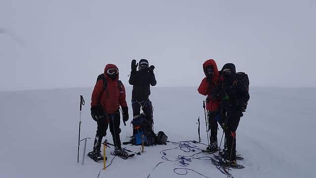
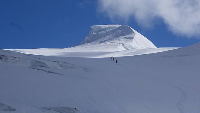
We pressed on, now with Josh breaking trail. He continued breaking trail the rest of the way to the summit, with the steepest part of the route from 15300 to 15800. The grade steepened slightly to about 35 degrees at 15300 and for the next 400 feet our pace slowed as we started to feel some elevation. Just before reaching the large flat plateau at 15850 feet, we came upon a huge crevasse that we were forced to job left to find a way across. This is the point it started to become a whiteout which made the navigation around this monsterous crack a little challenging. Without incident though, we emerged onto the flat summit plateau. All that remained was a 0.6 mile walk on very gently inclined snow to the highest point. Brief clearings would greet us with a short lived view but then quickly fog up again as we made a beeline for the summit. We were thankful to have been wanding the entire way up since it was looking like our descent was going to be in a whiteout as the thickness of the clouds got worse. When we reached what appeared to be the summit, we had to make a handful of GPS checks to confirm we were actually on the highest point. Oddly enough, likely due to the large amounts of snow accumulated on the summit plateau, all three of the GPS devices we had amongst ourselves were reading a current elevation over 50 feet higher than the published summit elevation of the mountain. We all had a short lived celebration standing on the summit, but weren't able to stay long as the weather was getting worse and starting to snow harder. So much for a perfect summit view!
As tired as we were, we all felt strong going the final 3000 feet to the summit, and kept a consistent pace without stopping much the whole way up. It took us a few minutes shy of 7 hours to get from high camp to the top, which is exactly what I estimated it would take us. Personally I was feeling some effects of the elevation, considering that due to the thinner northern latitude atmospere, we were more likely in an oxygen environment roughly equilivent to 17500 feet in the equitorial latitudes. This is the highest I have been since April of 2018 when I climbed Illimani. I did climb Puncak Jaya in August of 2019, and while it is only about 200 feet lower than Sanford, it being very close to the equator I did not really feel any effects of elevation there.
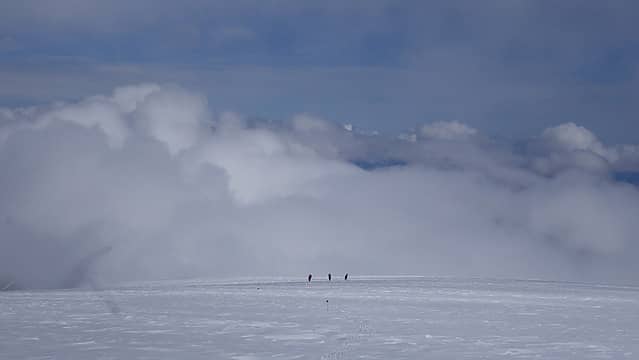
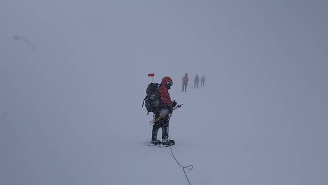
When we were all ready to begin the descent, I offered to lead us down following the wands back to camp. It was not too bad navigating back across the large summit plateau, but once we dropped over the edge, the fog thickened considerably to the point where I could not make out anything, and with the snow falling very hard at this point, and sideways due to the wind, it became very difficult to even tell what was up vs down. With no one else ahead of me to provide a frame of reference, I was literally leading blind, unable to see any features in the surface where my feet were stepping. I could have walked over an icefall and wouldn't have known it, however having the wands that we placed on the way up enabled us to pick our way through and slowly make progress back down. Occationally I would not be able to see the next wand, and would stand scanning my eyes as hard as I could, all while trying to keep my sense of direction and balance in the total whiteout. Soon enough we were below 15000 feet, then down to 14500 feet, however since I was leading the entire way down, it proved just as taxing as the ascent for me, since the effort required to be first down such a thick whiteout, constantly scouring for the wands and keeping myself from falling over was mentally extremely difficult.
I pressed on though, and we got below 14000 feet, at which point the fog thinned out a little, and spotting the wands became easier. The final 500 feet down and across the broad saddle area back to camp the clouds opened up quite a bit and the snow stopped. In just the few hours we were up there, a foot of snow fell on the mountain above 14000 feet, and since it covered the firm snow we hiked up on, we also were constantly sliding out as our snowshoes would turn into skis and I did end up falling over a few times because of this when I couldn't see the ground in the whiteout. Laura and I pressed ahead once the clouds lifted and continued on to camp. Once there, we had to dig out the tent a bit since about 6 inches of snow fell at camp. After digging out, I drank a little water and went right to bed without making dinner. For me, the descent ended up being more draining on my body than the ascent, solely because of the mental evergy required to navigate in the whiteout...not the physical component.
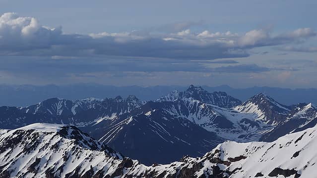
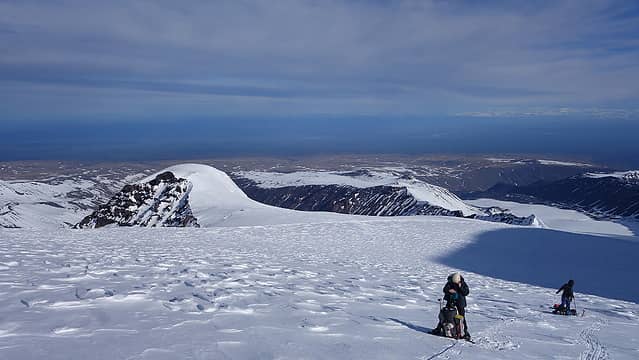
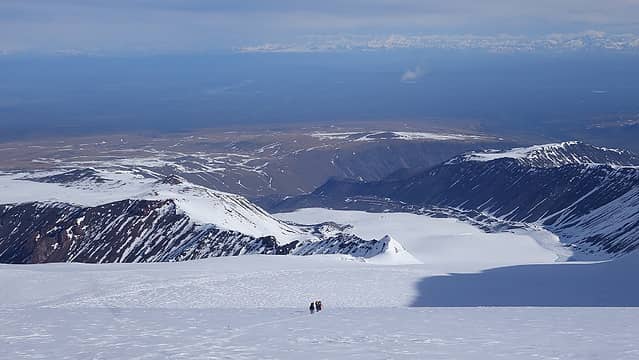
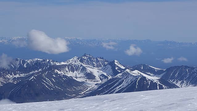
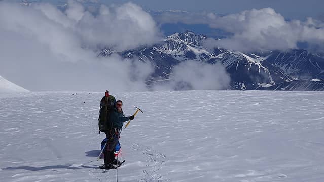
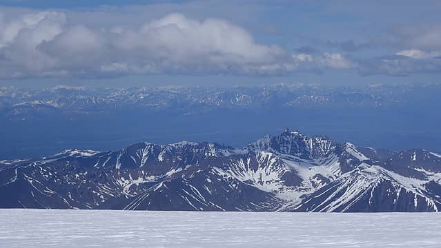
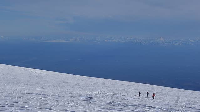
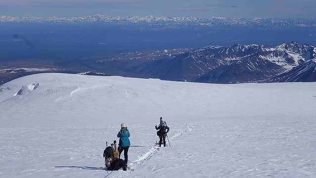
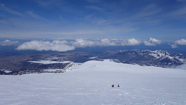
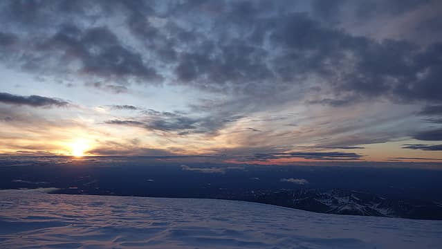
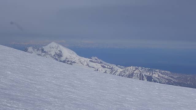
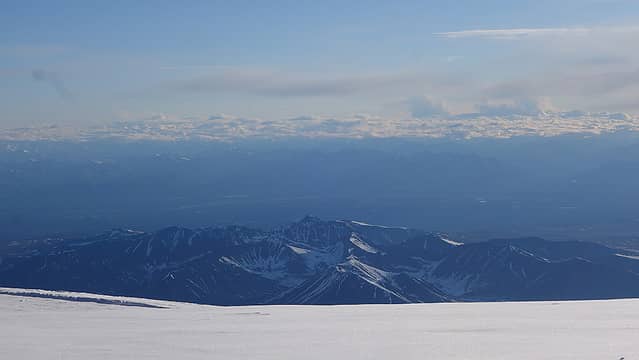
I slept quite well for the rest of the evening, despite a minor headache and not eating, and woke up refreshed around the time the sun was setting, and I peered out to clear skies once again. What a sight that was. I then went back to sleep. We didn't bother waking up super early the following morning considering we were just heading back down the mountain. We wanted to make it all the way back to camp 1 and be off the snow/ice and back on bare ground. We packed up camp and Laura and I went on ahead starting back downto camp 3. Unfortunately the fresh snow covered our trench from the way up so we had to re-break trail down to camp 3, but since it was downhill it was not too bad. On the way down, we got perhaps the clearest view of Denali, Foraker and Hunter in the Alaska Range off to the northwest. We could also see the Chugach range off to the west. Unfortunately due to the whiteout we had on summit day, we never saw the view towards the south, and therefore completely missed seeing the St. Elias Mountains. Laura and I got to camp 3 and waited for Josh, Jamie and Emily to work their way down. The sled was causing some headaches for them, but eventually Emily got into the sled to weight it down and make it slide down easier, and to keep it from constantly tipping over. While Laura and I waited, she patched up a hole that had formed in my sleeping bag, and we relaxed on the foam pad.
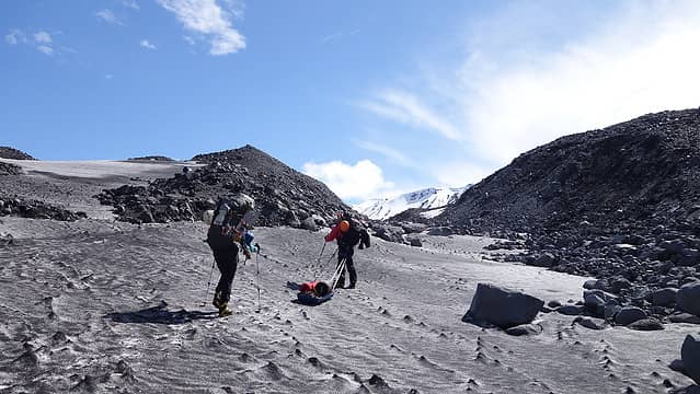
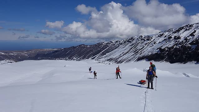
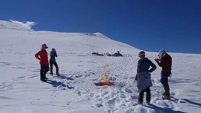
Once they arrived, we rounded up all the wands we had collected so far on the way down plus the 100 we had stashed at camp 3 earlier, and placed them into a hole dug into the snow and burned them, using some of the extra white gas to accelerate it. This saved us over 20 pounds of stuff to haul out. As we started to work further down the mountain, Laura and I wanted to use the red sled for its intended purpose; to actually sled! So once the terrain got slightly steeper, we took turns bombing down the mountain in the sled. It made the descent significantly more enjoyable, and allowed us to move very quickly. Josh and Jamie also took turns riding down in the blue sled, until we all reached camp 2. Here we collected our cache, which mainly consisted of my other pair of boots and we roped back up to get down the crevasse field just below camp 2.
Laura and I made it through the lower crevasses, but we did notice quite a few more crevasses starting to become visible in this area. To keep the red sled under control, she tied the front of the sled to her harness out in front, and I attached the back of the sled to the front of my harness to keep it from sliding down past her, and we more or less tag-teamed it, and it worked pretty well to keep it upright. Once below the final crevasse, Laura took the sled for another long ride down the rest of the hill to where the glacier nearly completely flattened. She easily made one continuous ride of at least a quarter mile, which was a surpirse to me considering how soft and wet the snow had become on the lower glacier. I was post-holing sometimes to my knees even with the snowsoes on making the final walk out pretty bad.
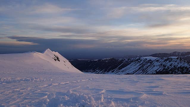
Jamie, JOsh and Emaily eventually caught up to us just as we reached the last half mile or so of the glacier, and at this point large areas ofbare ice was now exposed, that was still snow covered when we hiked in. In just 5 days at least a foot or two of snow had melted off the glacier! We came to a small flow of fresh icewater running down the surface of the ice which offered fantastic and clean drinking water for us all. By mid-afternoon we were back on the rocks at camp 1 and we put up the tents once more, feasted on the extra food we cached here earlier, and basked in the evening sunlight, and watched what was the most colorful sunset of the trip. Right through the gap where the sun was setting we noticed that Denali was visible, which we hadn't noticed on the way up.
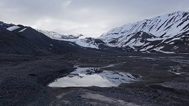
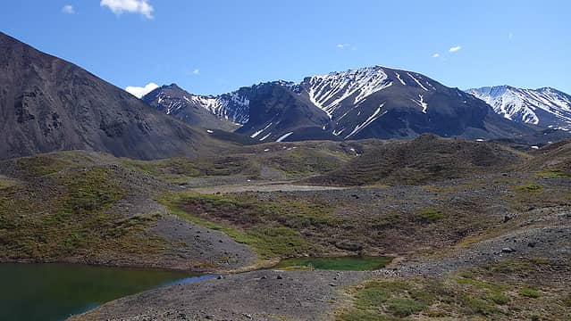
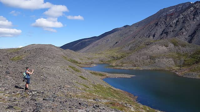
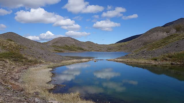
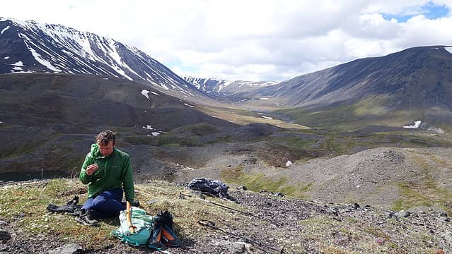
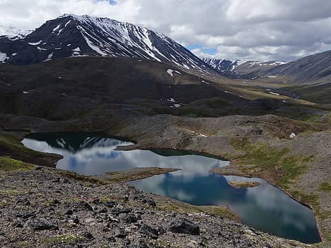
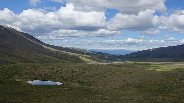
The following morning, we finished the hike back down to the landing area down at 4400 feet. It only took us a few hours to get there despite the packs getting heavier once again. Laura decided to tie the red sled to her pack and we did not have anything in it, while Jamie again dragged his blue sled over all the rocks and tundra. We had high hopes of getting picked up that afternoon, but after a conversation over the Inreach with Copper Valley Air, their schedule didn't enable them to pick us up for another two days. We would have to wait in Sheep Creek for two nights until we could be picked up. Not a huge deal though as we were able to explore the area quite a bit. Josh and I made an attempt to climb Capital Mountain across the Boulder River Valley and off to the east, however when we reached the Boulder River, it would have been not too difficult to cross in the morning when we initially arrived, but later in the afternoon, it could easily have doubled in size, so we opted to abandon the attempt. We hiked up one of the higher hills on the ancient moraine below the terminus of the Boulder Glacier, which is the larger glacier that dumps due north off from Sanford, guarded by the 4000 foot seral headwall. We relaxed atop a nice hill just above a small hidden lake with a great view back up Sheep Creek to where our tents were by the landing zone. After an hour enjoying the views and taking in the majesty of the Alaskan wilderness, we returned back to the tents, and believe it or not, it started raining about 2:30pm. Good thing we didn't continue to Capital Mountain, as it rained most of the rest of the afternoon.
Finally, on Tuesday morning, we all got picked up, along with another group of three who had flown in for a few days after we had started up the mountain. They met us at the landing zone that morning and all 8 of us safely got back to Chistochina one by one, which took until after noon to finish. Katy was notified by both myself and the Boniak's the day before, so she was almost to Glenallen by the time we all arrived back. We had just enough time to get another hardware store pizza, and a ton of ice cream before she arrived. I happily tipped our pilot, and we re-organized all our gear, loaded it up and were on our way back towards Anchorage that afternoon.
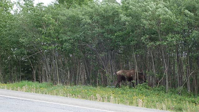
We saw a few moose on the drive back to Anchorage, and spent the remaining few days we had left just exploring a bit, relaxing in town at my favorite cafe (Middle Way), shopping at the Alaska Mountaineering and Hiking store, going to breweries, biking the coast trail, visiting museums, getting pies, having a celebratory dinner at my friend Chirs and Lynne's home, and taking the infamous 26 glacier cruise out of Whittier. Katy was so nice and took us around to a handful of places during this time, including to Whittier and back! The glacier cruise is something I had a little personal connection to, because I had been sea kayaking for nearly a week in Blackstone Bay outside of Whittier back in 2015, and we hiked up a peak that we were later informed had never been climbed before. We rented the sea kayak in Whittier and I have incredibly fond memories of this place, and remember well enduring the difficult kayak back up Passage Canal on a windy, choppy day with large boats going by us. I was excited to return to Whittier, and to my surprise, the same guy was operating the Alaska Sea Kayak rental facility there in town, although he did not remember me.
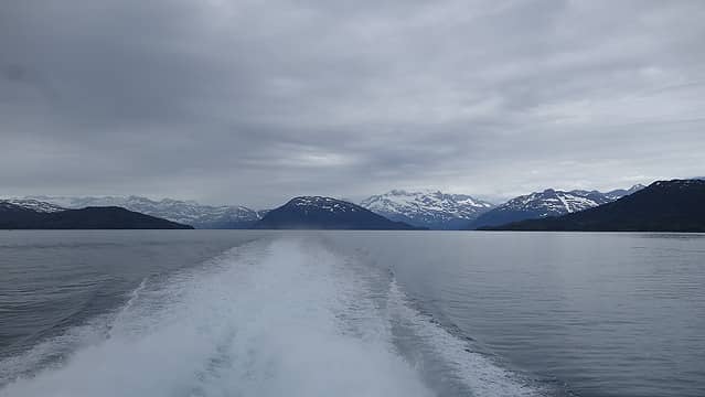
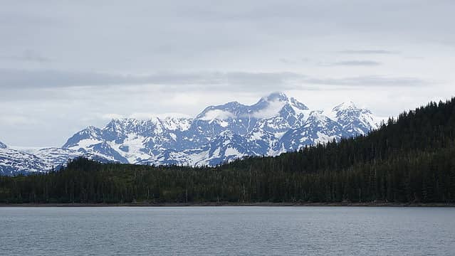
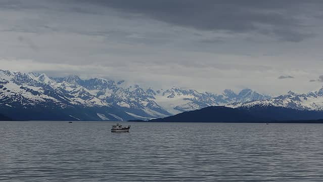
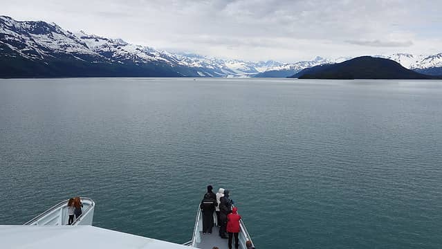
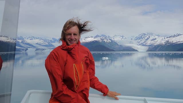
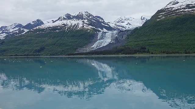
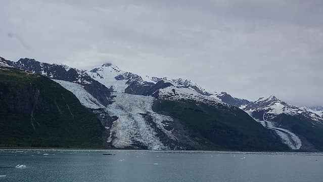
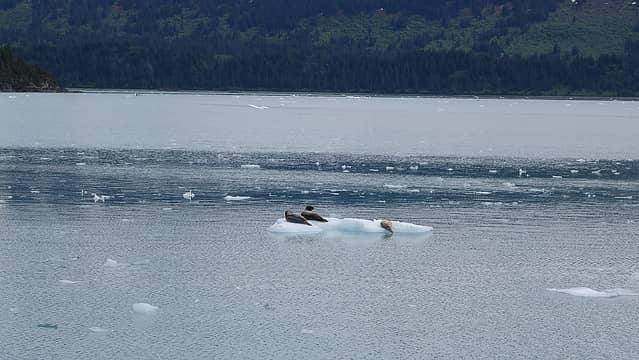
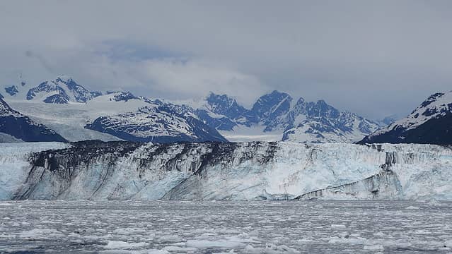
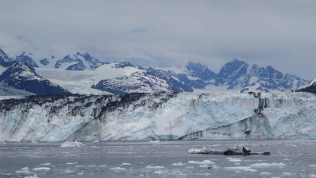
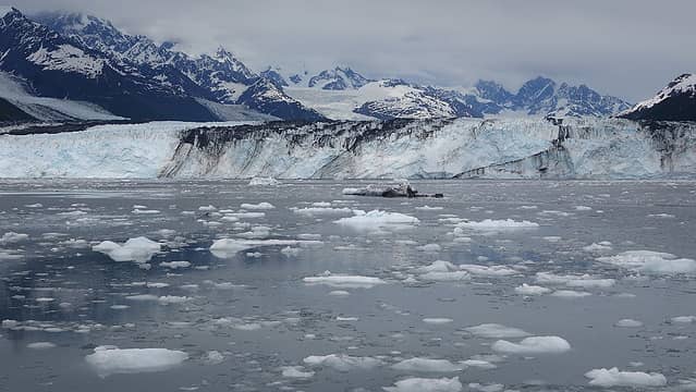
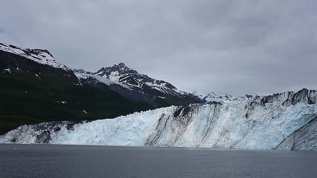
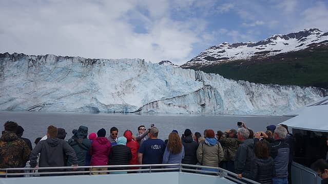
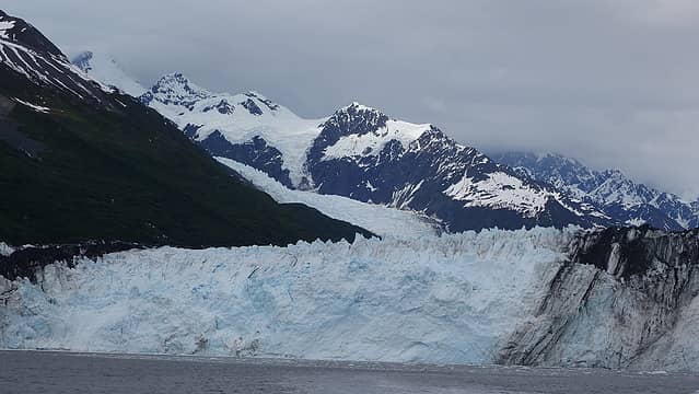
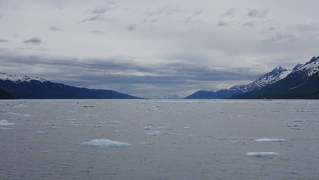
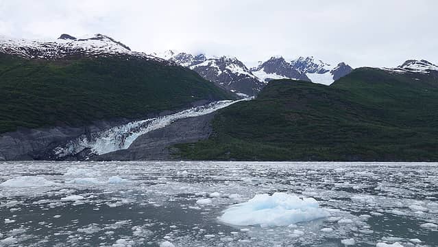
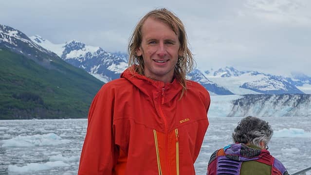
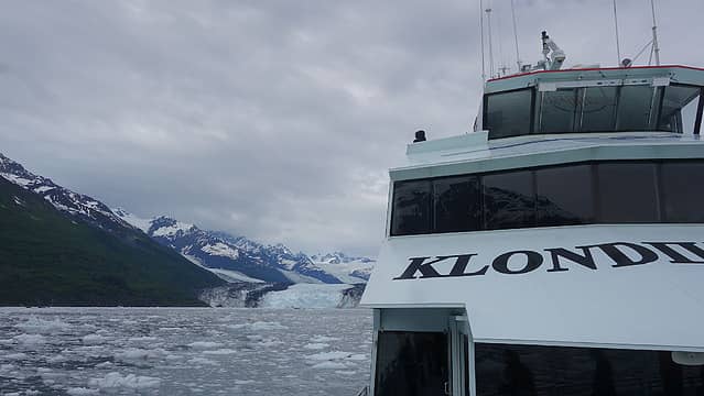
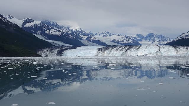
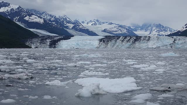
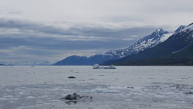
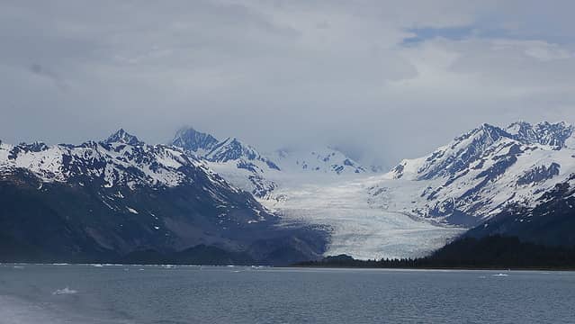
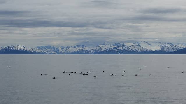
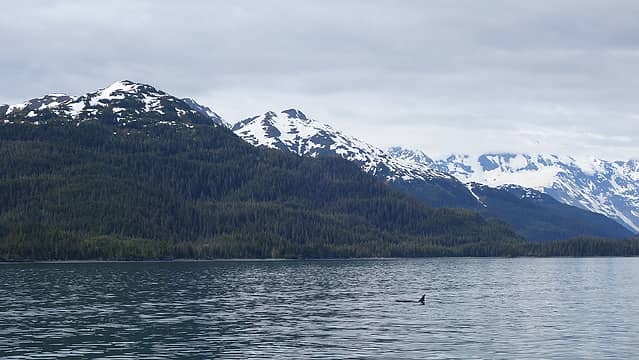
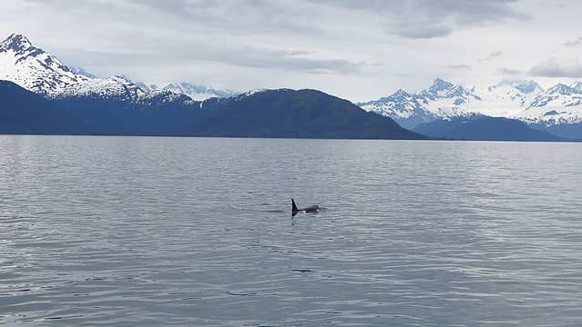
We grabbed some ice cream before the cruise, and boarded the boat shortly after noon. The 5.5 hour ride was actually a great trip despite the things I say about touristy things. The catamaran style clipper got to speeds of 45 knots, making it a windy place to be standing on the bow! We were lucky with the weather and even had some sunbreaks. We rode right up to the end of College Fjord to within a quarter mile of the calving Harvard glacier, which juts vertically up about 400 feet out of the fjord. In the 15 minutes or so we were idling there, we saw two gigantic calving events where 200 foot long ice chunks just fell into the water. Amazingly, this is one of the few glaciers that is still advancing, and is overtaking trees and shrubs on the shores of the fjord. Mostly visible high above the glacier is Mount Marcus Baker, the highest peak in the Chugach Mountains. Its summit was clouded over though. We also saw hundreds of sea otters, sea lions, and even some killer whales swim up close to the boat.
Below is a video I took of the biggest calving event we saw from the boat. Fast forward to 1:45 if you want to skip the waiting...
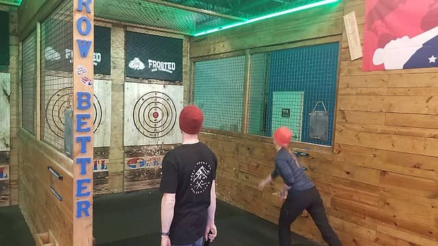
The trip ironicallty ended exactly where it started...back at the Sockeye Inn for our final night before our flights back to Seattle. After staying two nights at the backpackers hostel in Anchorage, the only place we could find for a Friday night was the Sockeye Inn. Next door to the Sockeye is an axe throwing place which we decided to all try out...no one else was there and we all had a blast seeing who could throw axes and blades the best. There might have been some life size jenga involved as well...of which I lost! We all made it back to Seattle, and dispersed our own separate ways, but this is definitely a trip I will never forget, and am thankful to have enjoyed the trip with great company.
