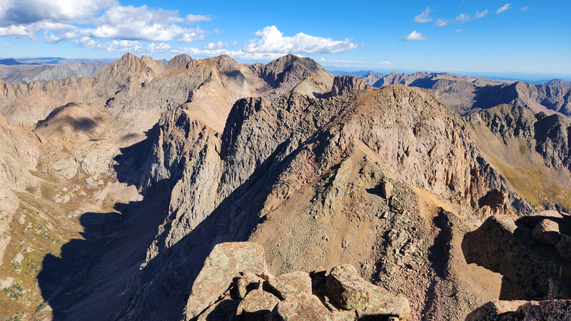
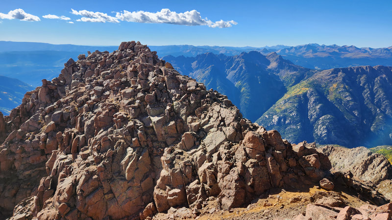
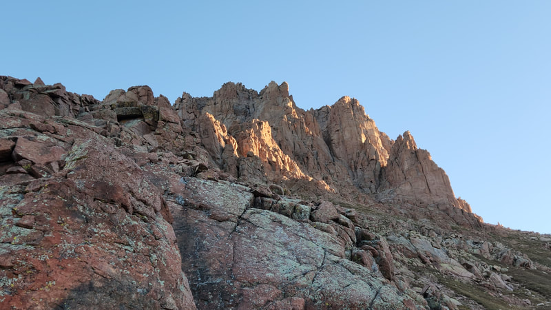
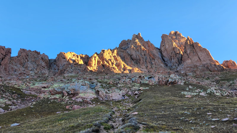
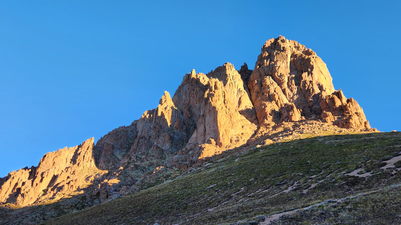
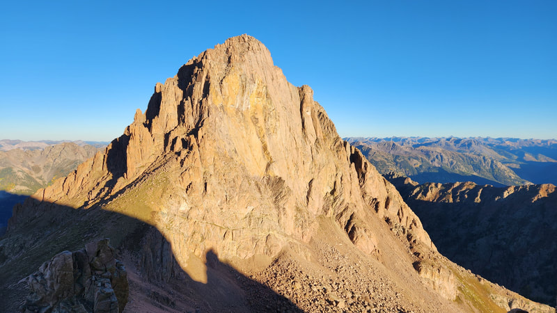
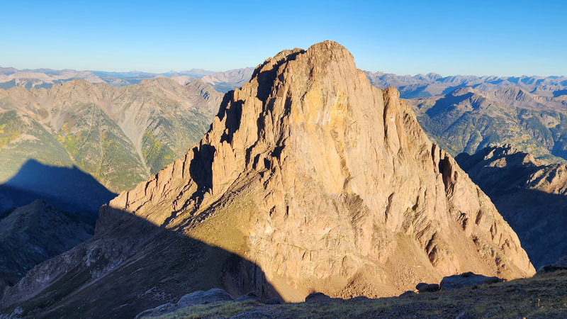
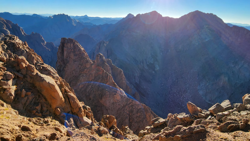
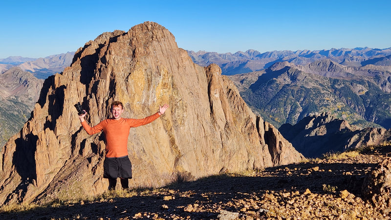
pigeon peak - 13972' - NW slopes class 2+
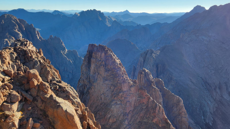
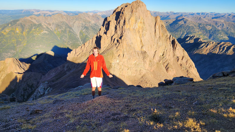
turret peak - 13835' - nw ridge class 2
September 2022
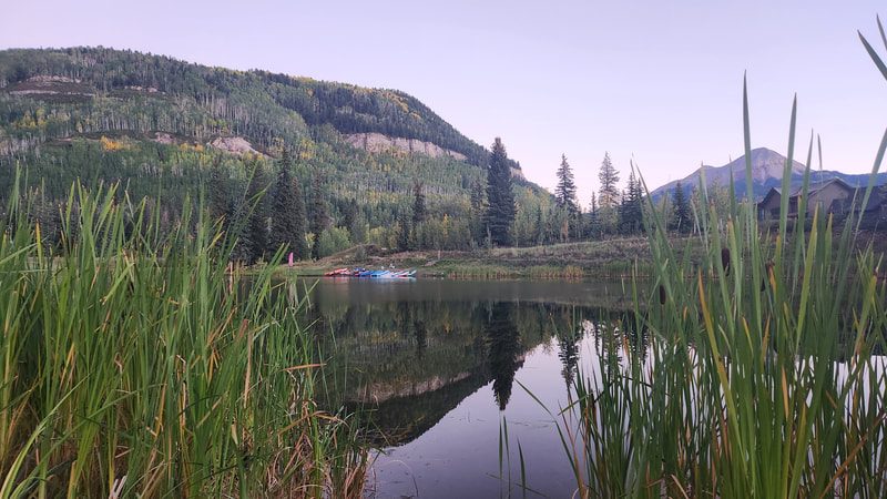
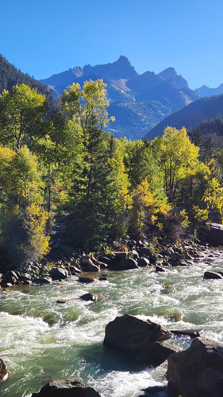
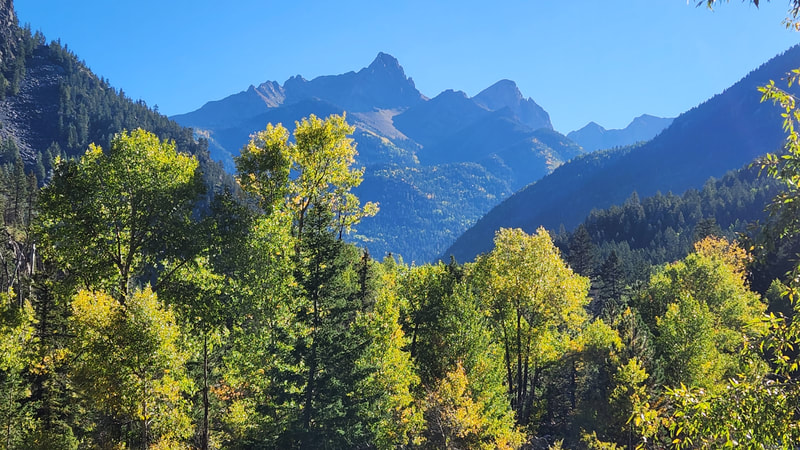
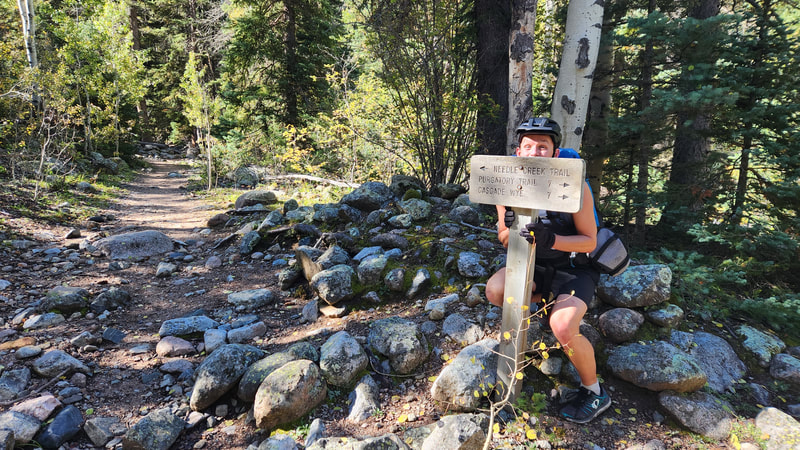
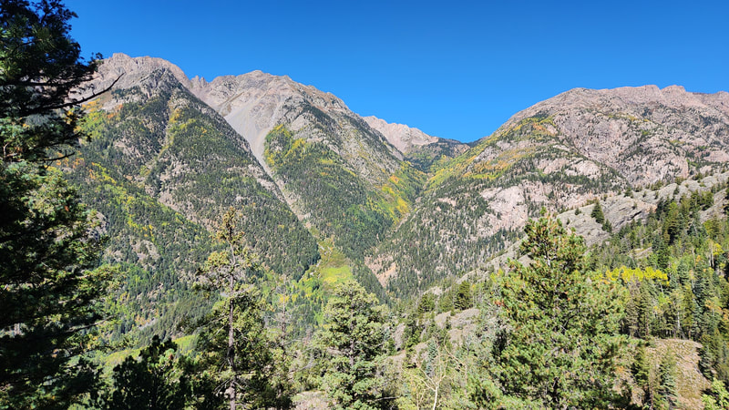
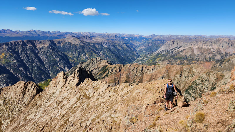
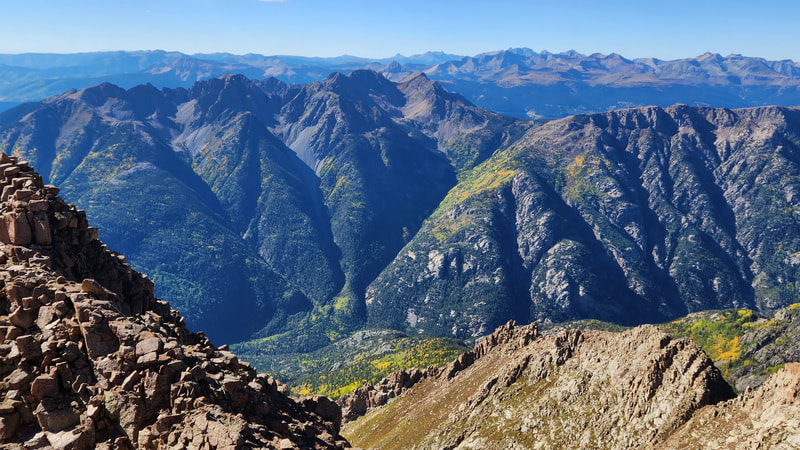
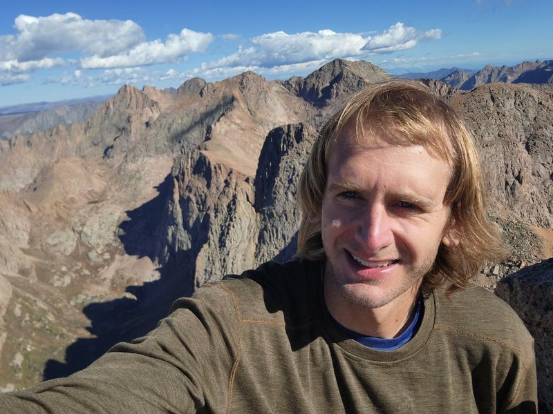
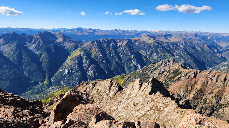
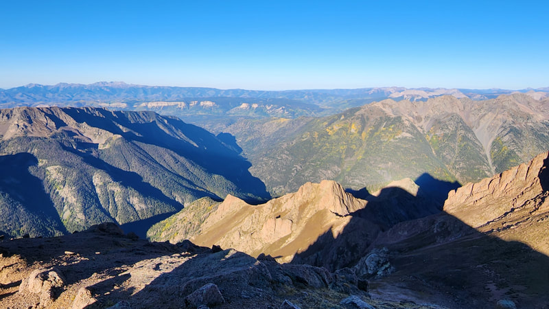
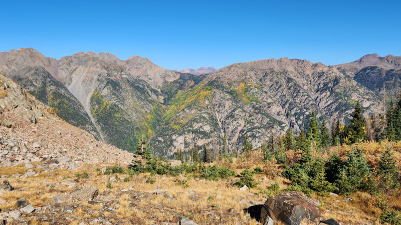
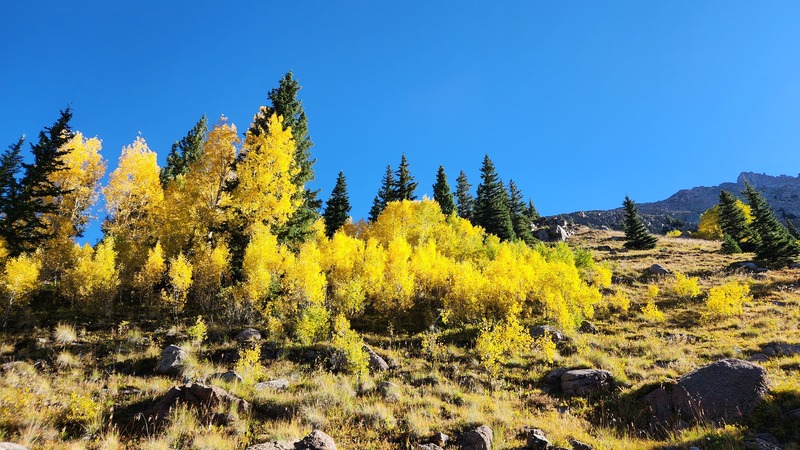
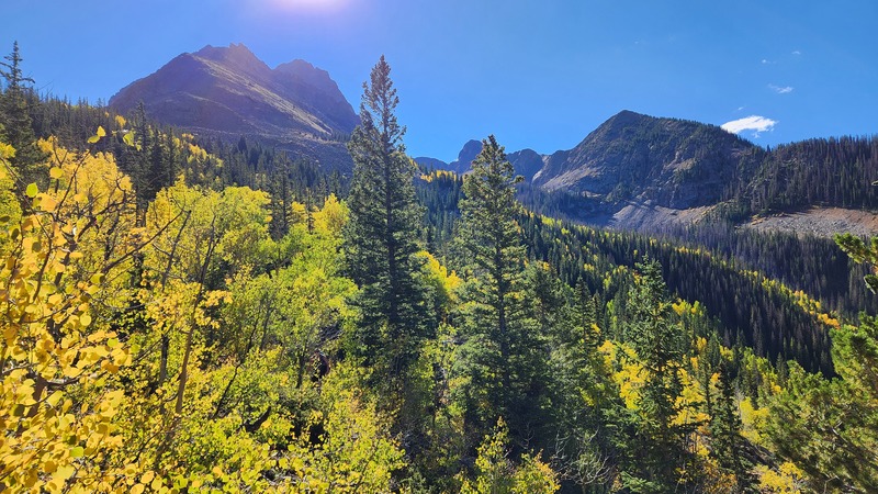
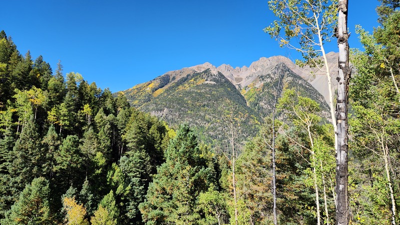
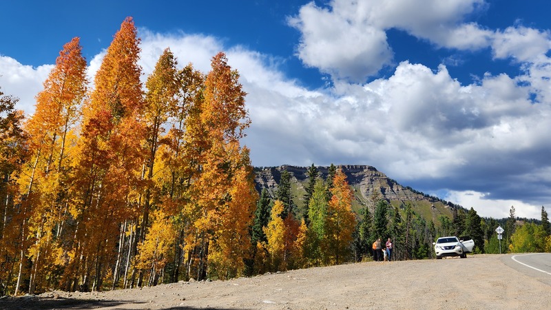
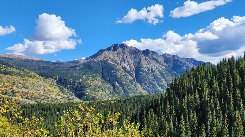
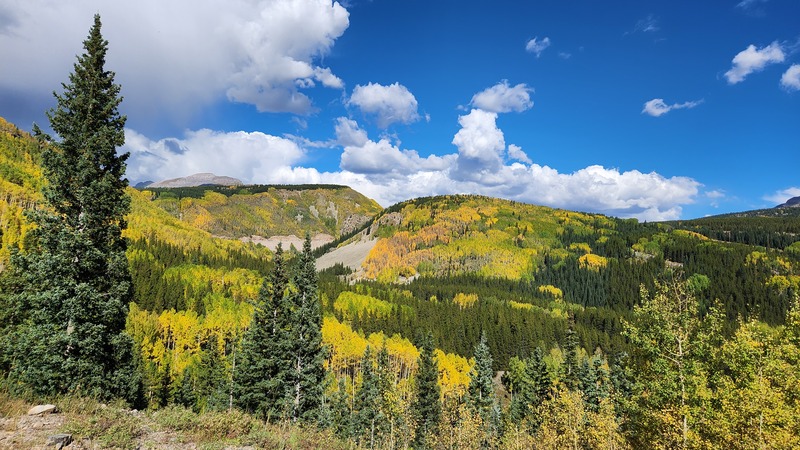
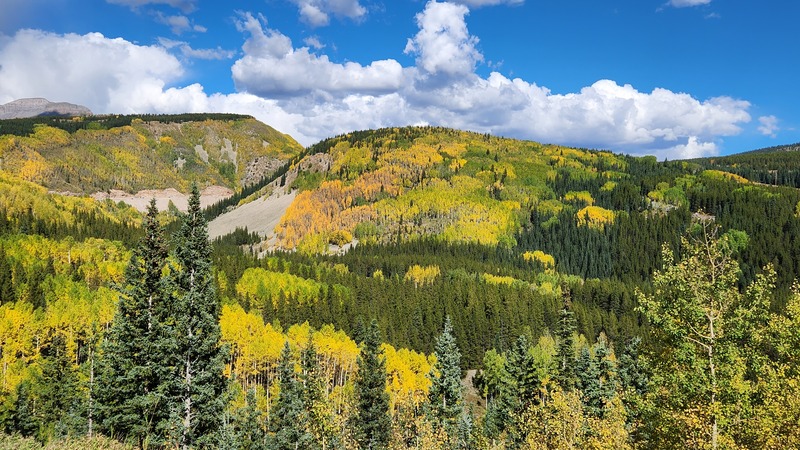
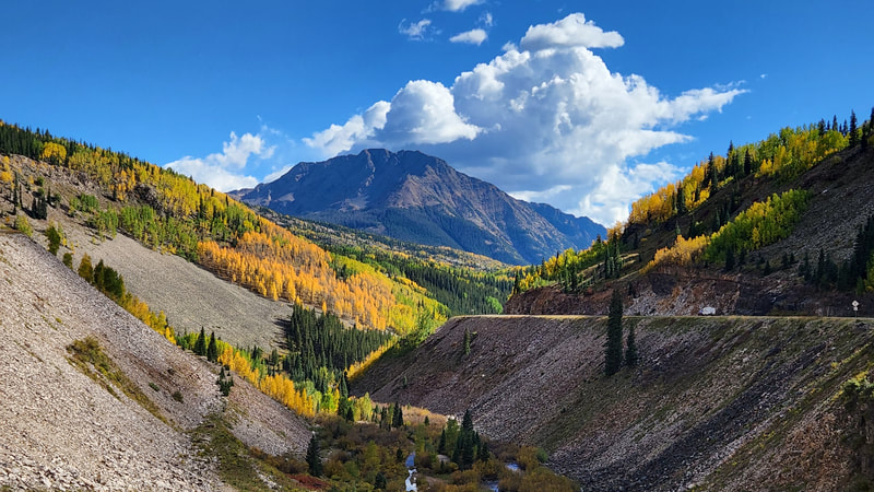
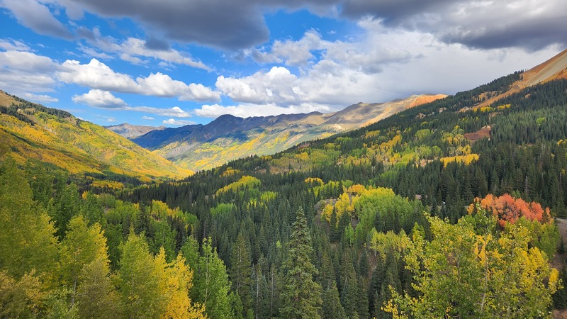
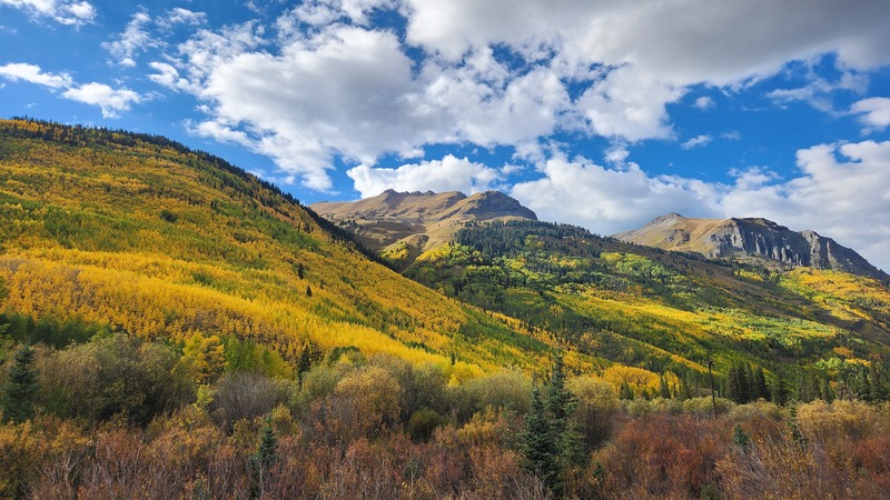
As it was the peak of fall color in the San Juans, I convinced Josh to come over to Grand Junction from Denver and climb two centennial 13er peaks I still had not done. Pigeon and Turret areboth striking peaks, and Pigeon Peak is only visible from a small spot near the gas station in Silverthorne. No other point from any paved road is it visible! In order to access these peaks, hikers have two approach options. Either take the Silverton narrow gauge railray train, which is expensive and also doesn't run at convienent times for doing these peaks in just a two day trip, or hike in from the Purgatory Trailhead. Not wanting to walk 16 extra flat trail miles (8 miles each way to Needleton from the Purgatory trailhead), Josh and I rented mountain bikes from an outfitter in Ridgeway on our way down from Grand Junction the afternoon before. While many people would say this was probably not worth the effort, I actually thought they were. We got all packed up as darkness settled in at the trailhead, and I slept in the back of my stationwagon, while Josh slept in the front seat.
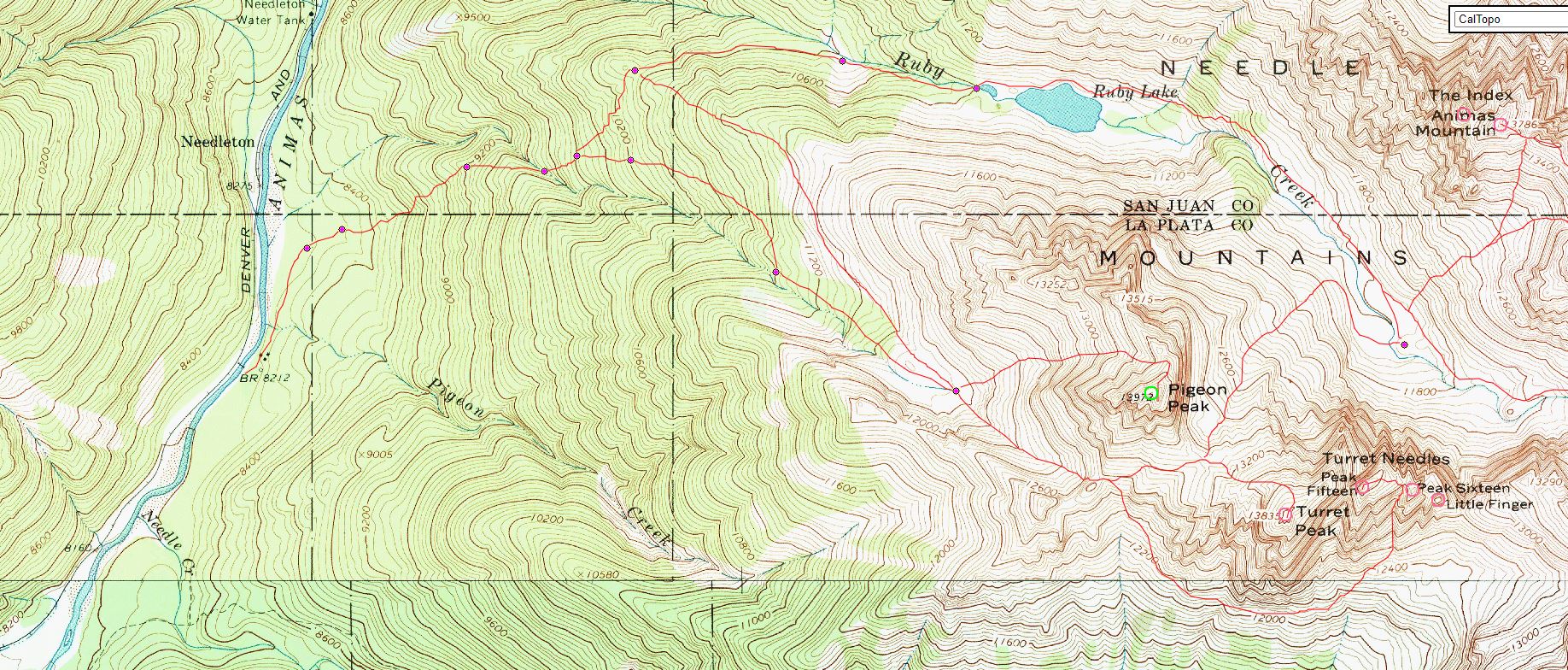
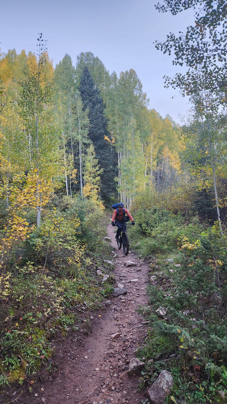
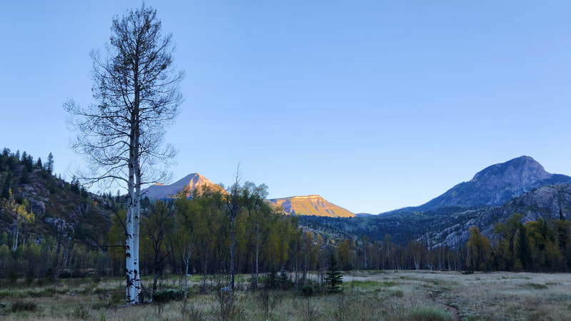
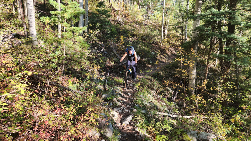
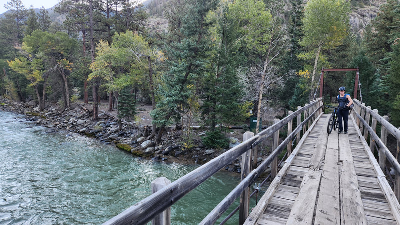
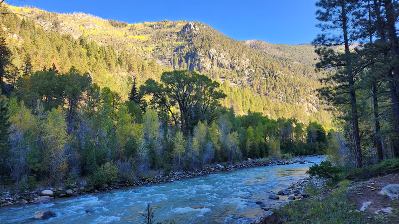
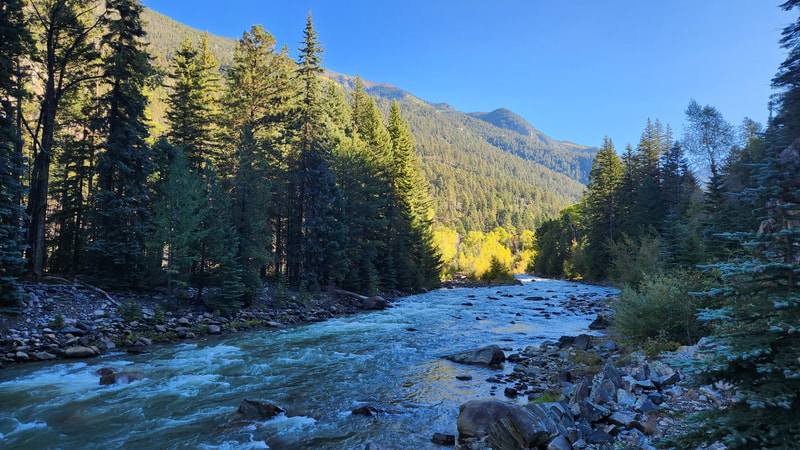
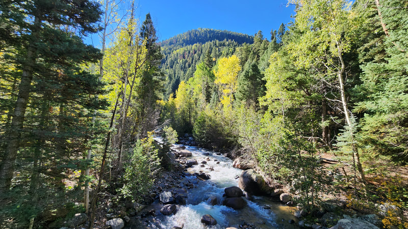
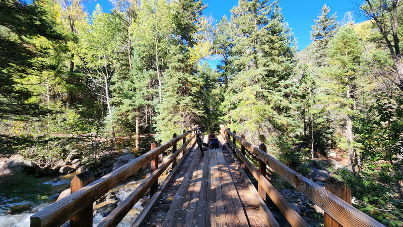
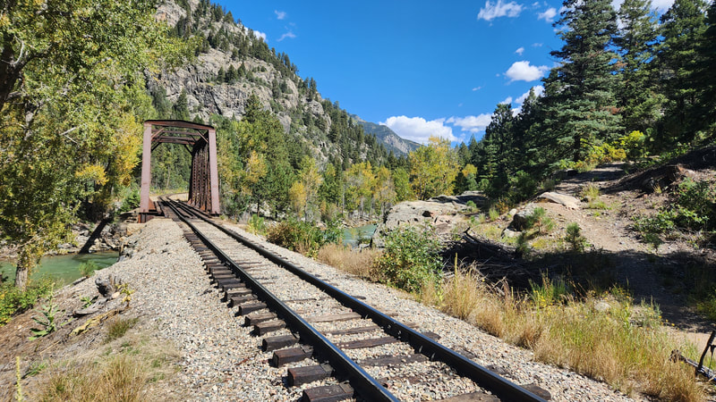
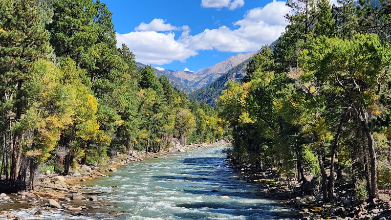
Not waking too early, we started biking down the trail which drops quickly into the Cascade Creek Drainage. Biking down took no time at all, although it was steep enough to have to walk the bike around some of the very rocky switchbacks. Once in the open valley it was easy riding until we reached the Animas River, apart for just a short section where the trail traversed a steep slope where Cascade Creek dropped steeply again. We crossed the Animas River on a footbridge and continued biking west to Needleton on the flat river valley. A few sections were quite rocky and required pushing the bike, but the long open flat sections allowed us to very quickly make time and we arrived to Needleton in just a couple hours.
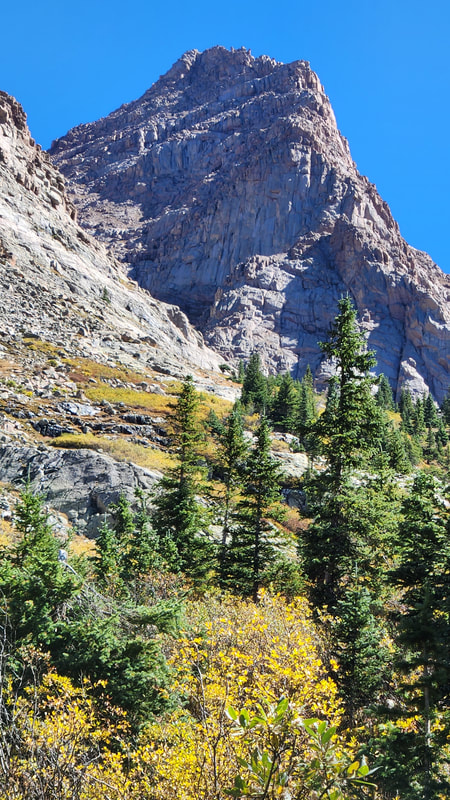
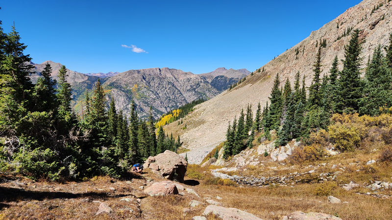
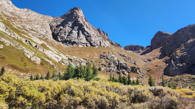
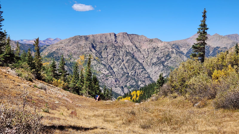
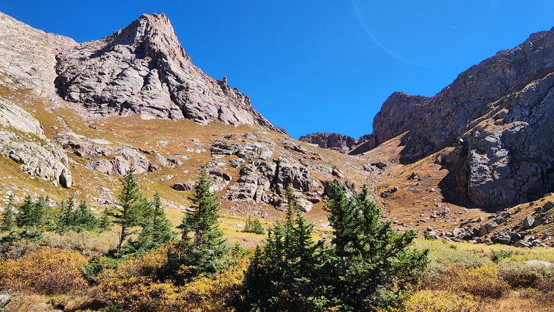
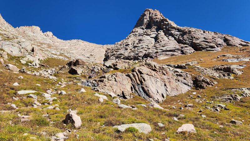
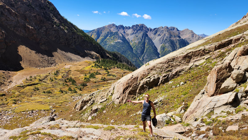
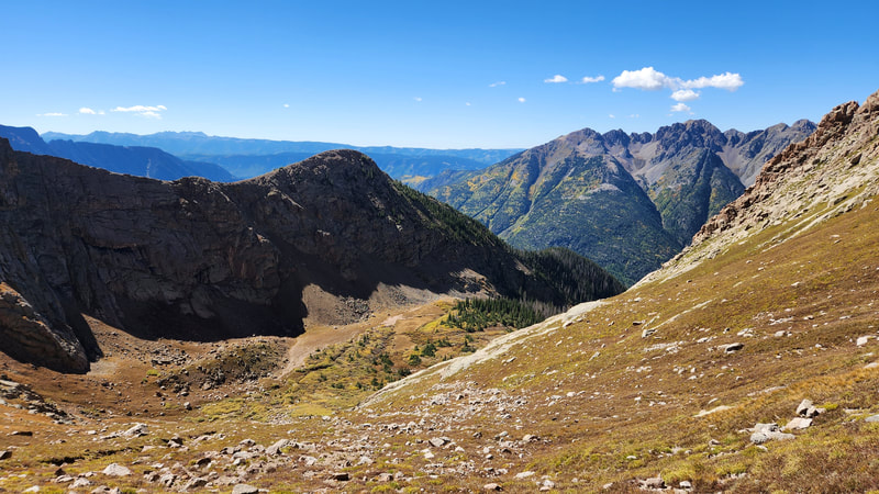
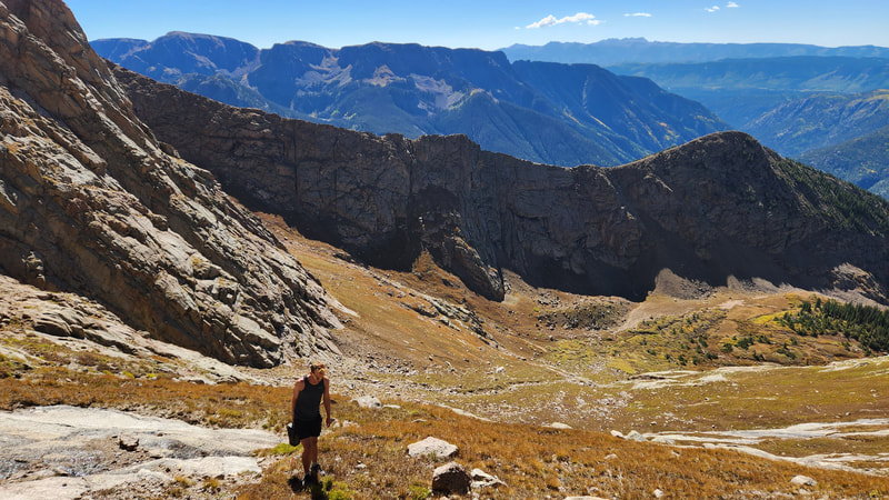
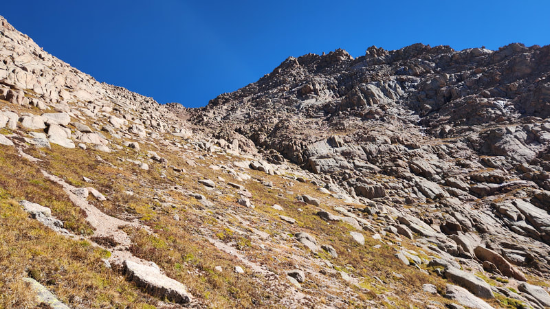
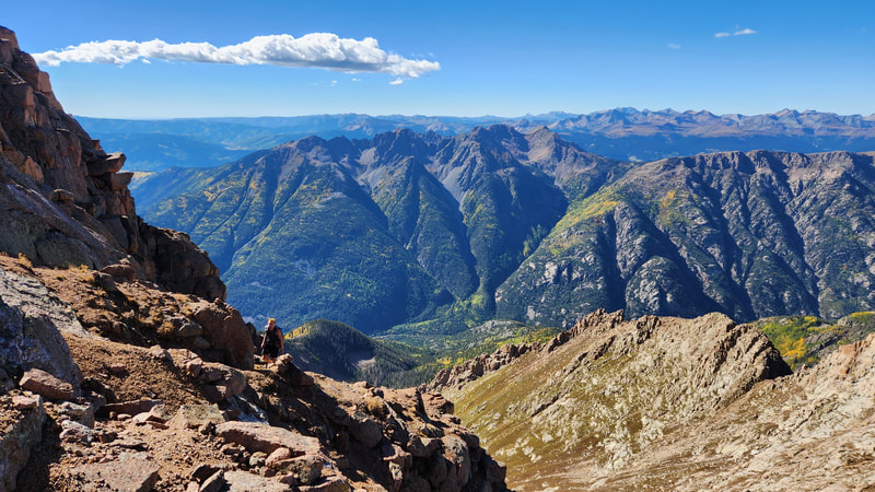
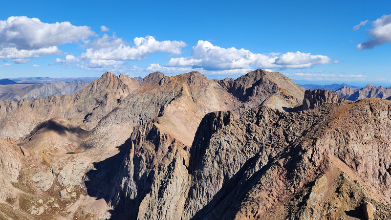
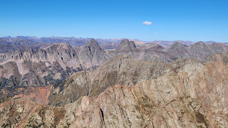
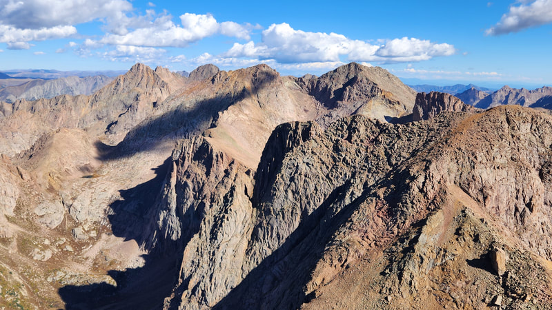
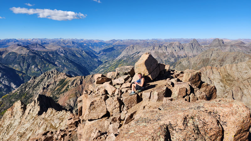
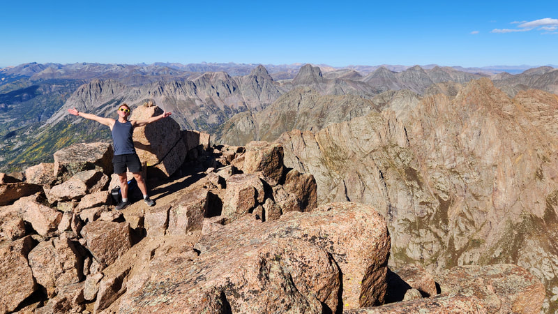
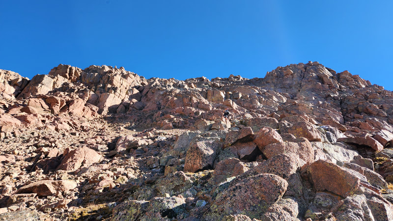
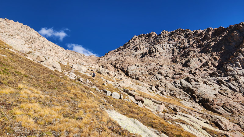
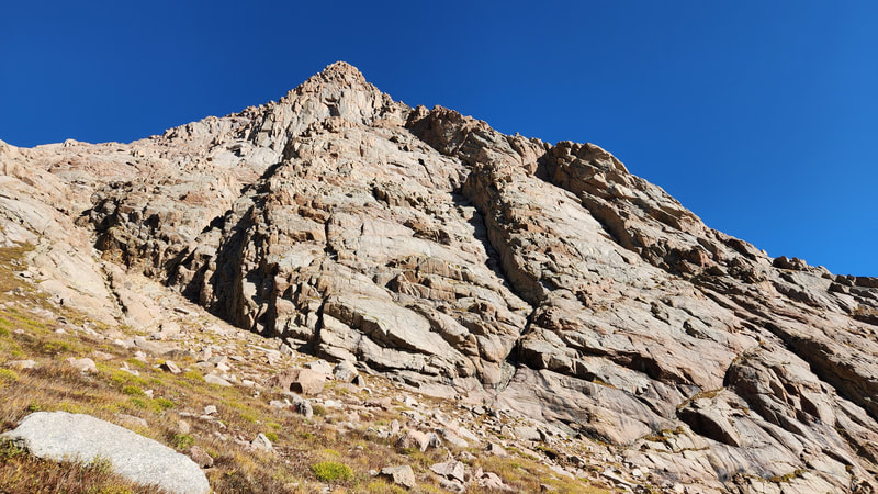
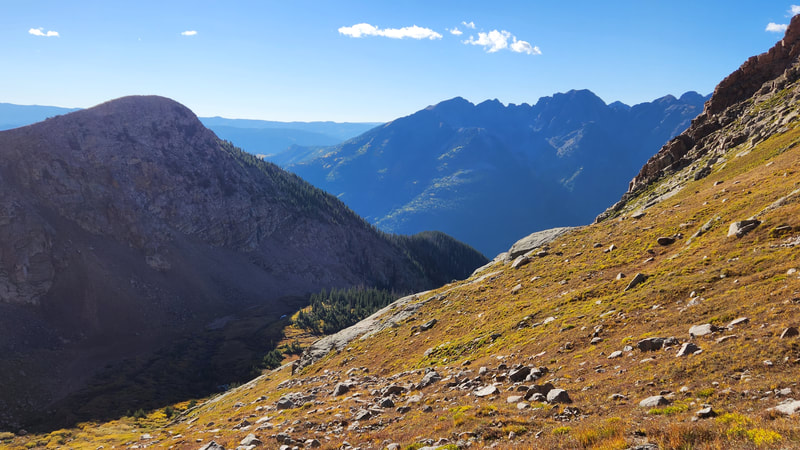
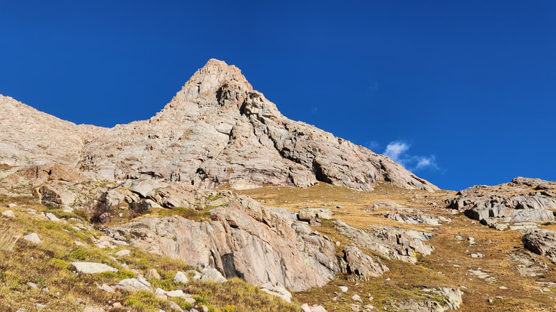
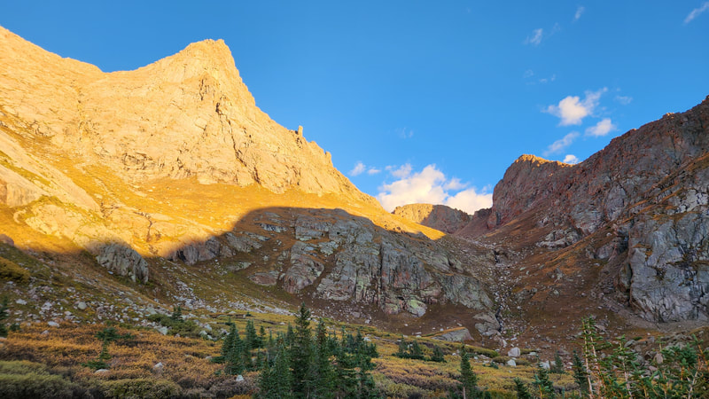
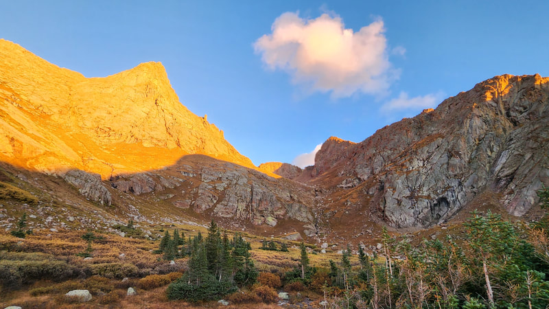
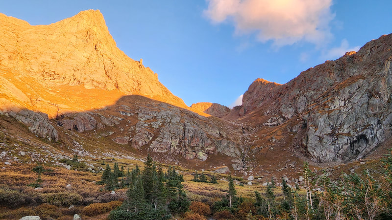
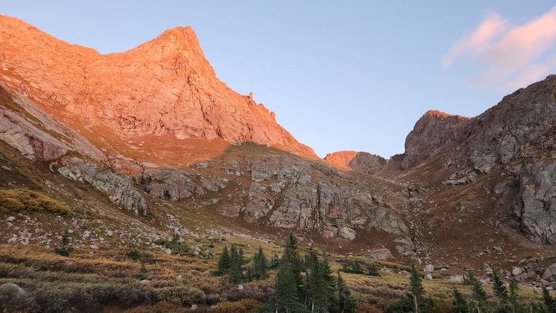
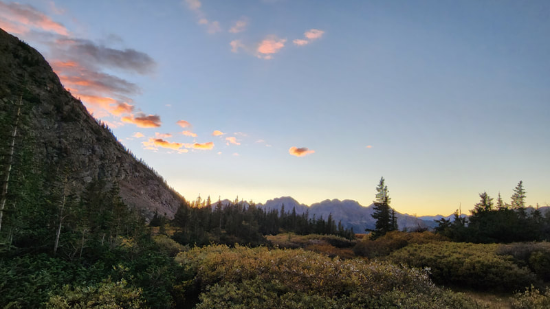
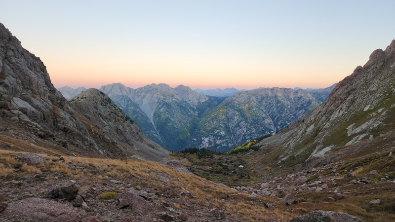
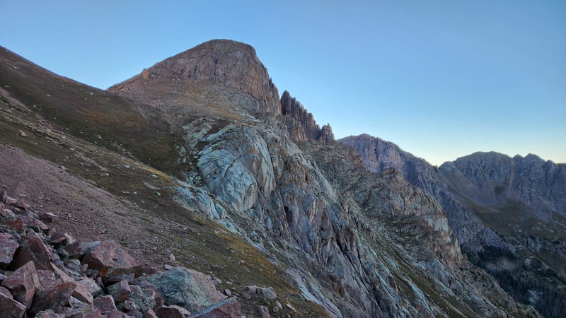
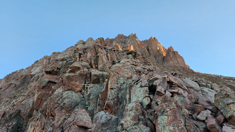
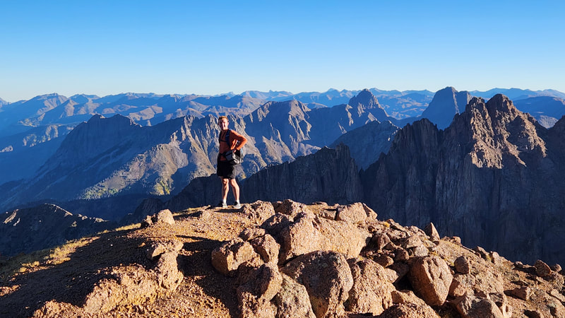
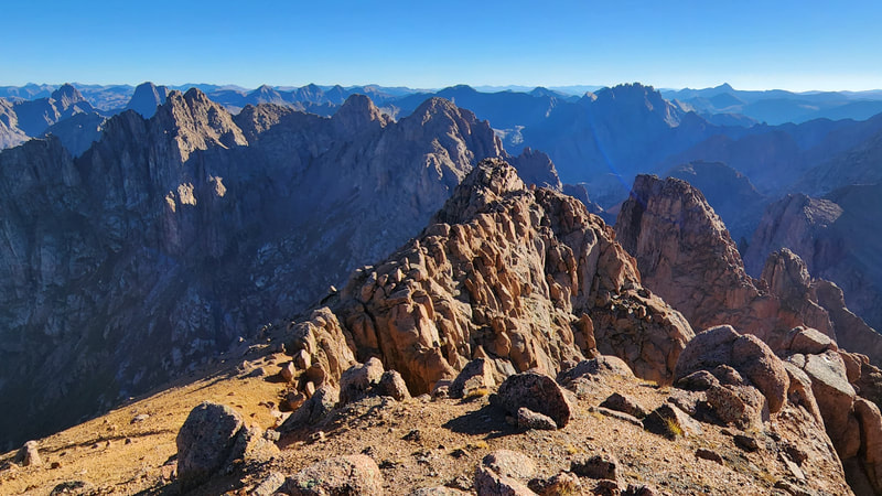
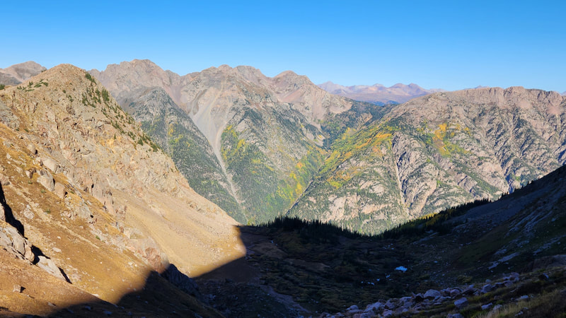
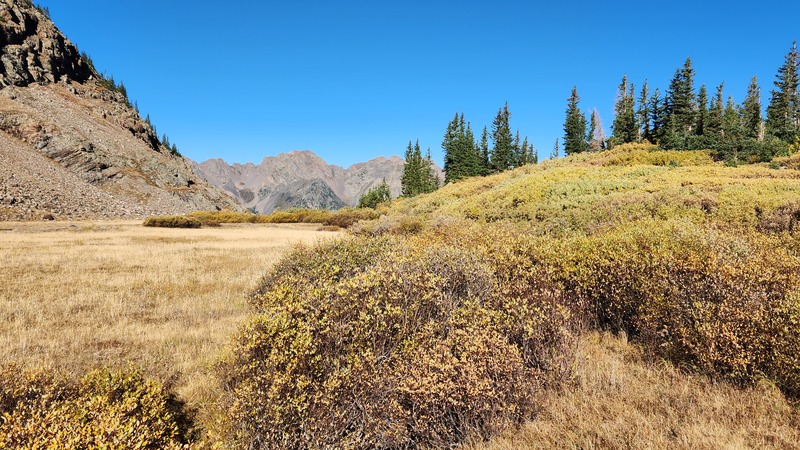
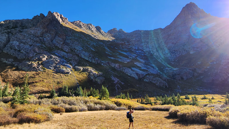
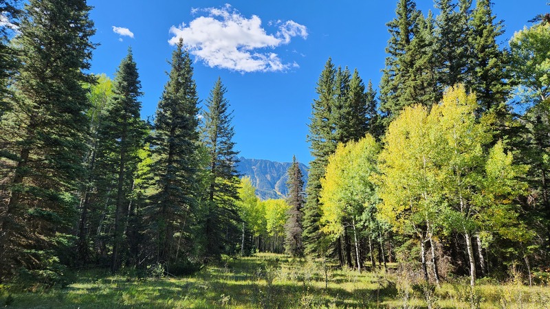
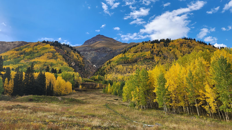
Instead of hiking up the Needle Creek trail, we crossed it and continued a little further past the last cabin before the trail crossed Pigeon Creek. We stashed the bikes in a hidden spot in some bushes out of sight and began hiking up the relatively nice trail. The trail does not go up Pigeon Creek, but rather the next drainage to the north (the one between Pigeon and Ruby Creeks). To our surprise we had a decent trail to follow all the way to treeline. A trail junction presented itself on a forested ridge at 9800 feet elevation, where we continued straight (going left takes you to Ruby Lake). Once we reached the open basin at 11800 feet, we set up the tent in a beautiful meadow with golden colors all arouns us from the willows and alpine tundra that was glowing yellow and orange. It was only about 2pm at this point so we wated no time starting up Pigeon Peak. Following the standard northwest slopes we made quick work reaching the summit and enjoying the late summer afternoon sun. The route presented only one class 3 spot to pass a small cliff band, but on the descent we found a way around this by zig-zagging more. We went to sleep early after a light dinner.
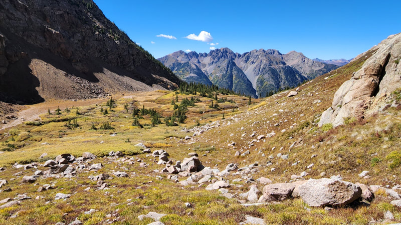
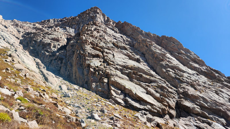
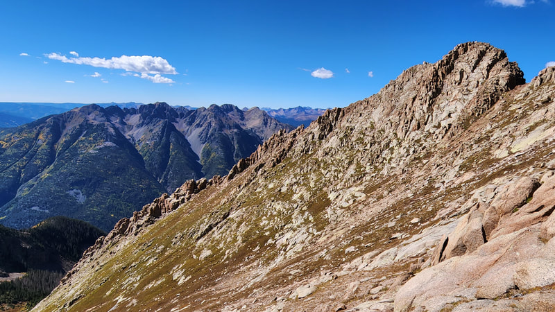
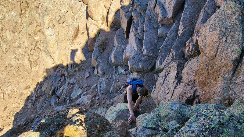
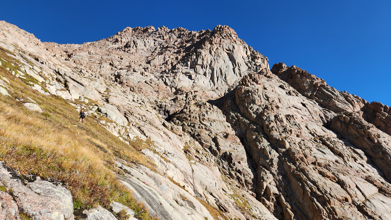
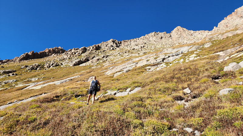
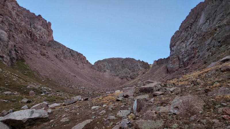
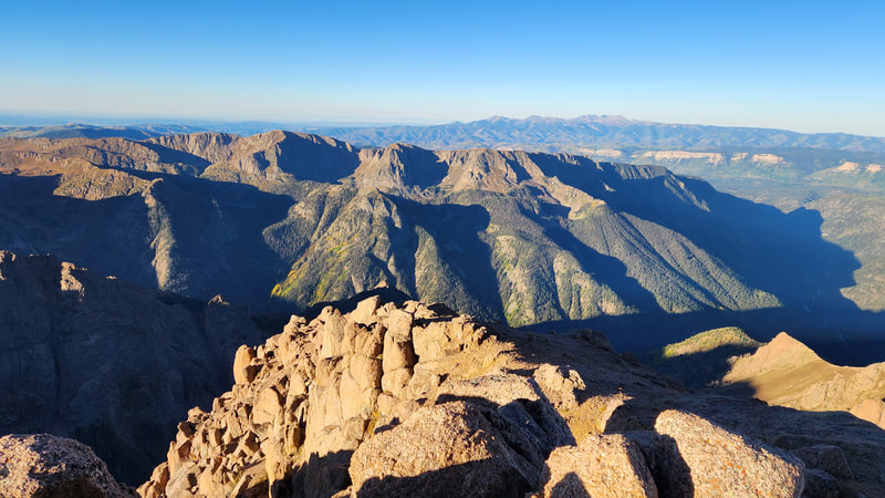
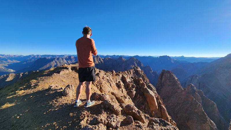
The next morning it was considerably cooler, so we got a slow start. We continued up to the head of the basin reaching a small 12800 foot saddle just southwest of Pigeon Peak, then traversed the gentle scree slopes to the true 13100 foot saddle between Pigeon and Turret. We continued up the northwest slopes/ridge to the summit, with only one short gully offering any scrambling (class 2+). Josh and I retraced our route back to camp, packed up and returned back to the bikes. Thankfully no flat tires developed overnight and we biked back down the nimas River trail. The majority of the hike back to Cascade Creek to the Purgatory trailhead did suck as we pushed the bikes most of this, but certainly was not the worst thing to happen. The sun was lower in the sky by this point and we had some shade at the end. This was my 98th and 99th Colorado Centennials, with only Rio Grande Pyramid remaining (note this was before the emergence of Lidar scanning surveys, where Trinity Peak got added, but I have since completed that peak as well).
Proudly powered by Weebly
