mount ballard - 8320' - East face class 4
May 2019
On a last minute whim, I took a flight back to Seattle for the weekend again after working the last week in Tucson. I called up Josh and asked if he wanted to do Ballard and he agreed to so I bought the flights right away. It was yet another night flight arriving in Seattle around midnight early Saturday morning. I took an Uber back to my parents house and borrowed my sisters car for the weekend, got to Lynnwood to pick up Josh around 1:20am and we were off to Bellingham to pick up my skis. It was occurring to me I would be climbing yet another peak without any sleep!
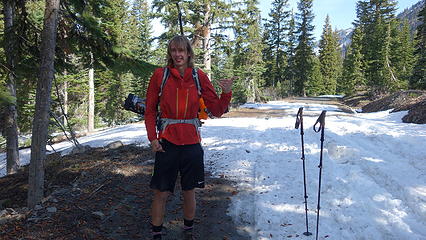
We drove over to Mazama, and found a spot to take a 1 hour nap in the car. By 7am we started driving up the Harts Pass Road. We were able to drive up to an elevation of 5250 feet, stopping about 3 miles from Harts Pass due to a deeper snow patch covering the road in a low rider vehicle. High clearance 4WD vehicles were getting up another mile or so, to within 2 miles of the pass. We saddled up with skis and started walking shortly before 8am, hoping to be able to ski down the road on the opposite side of the pass a bunch. We made quick work walking the first 3 miles to Harts Pass, which we were able to find mostly bare ground along the edge of the road. Once at the pass at 6200 feet, there was 2 feet of snow on the ground, contrary to ranger reports stating there would be 4-5 feet. We switched into our ski boots and put the skis on, and after a quick snack we started skiing down the road heading down into the Slate Creek Valley on the west side of the pass.
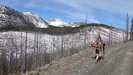
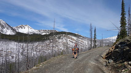
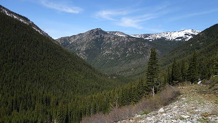
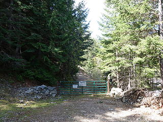
Unfortunately we would only get about a mile, back down to about 5200 feet before the snow disappeared, and we ditched the skis. For the next 4.5 miles, the walk on the Slate Creek Road down to the gate at 3800 feet was quick and dry. A fair amount of debris and trees/rocks was on the road so if anyone plans to drive down this way shortly after the snow melts, bring a chainsaw and an attitude for ground clearing.
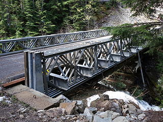
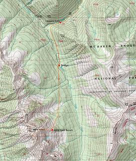
We continued the additional mile (about 9.5 miles total from the car) beyond the gate, curving left towards the south as the old road continued a gentle traverse to the bridge over South Fork Slate Creek at 4000 feet. This bridge at some point had been rebuilt directly over top of the old bridge. We stashed our overnight gear here as it was only noon by this point and we knew we would have plenty of daylight to make it up and down before dark.
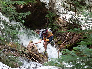
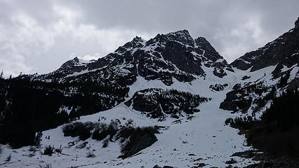
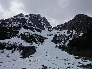
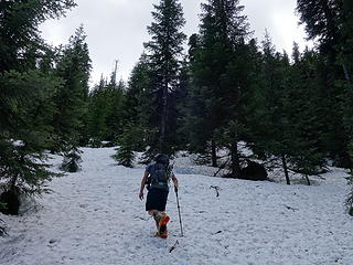
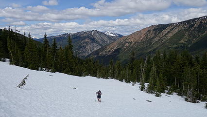
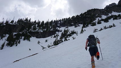
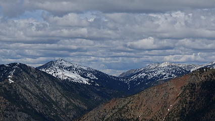
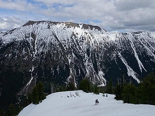
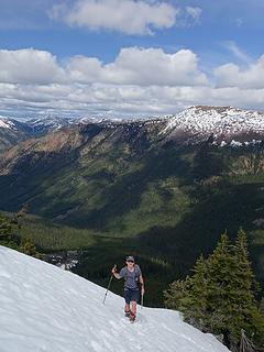
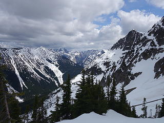
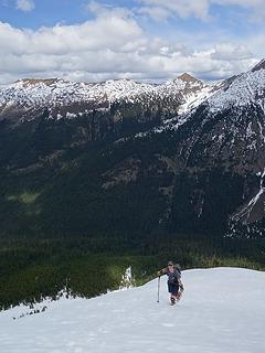
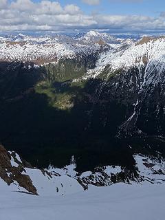
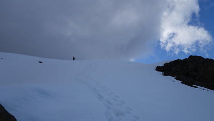
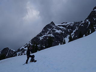
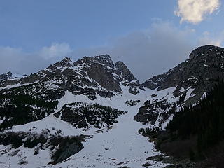
We crossed the bridge and left the old road, entering the open forest making an ascending traverse southward towards the large flat basin at 4900 feet at the base of the large gully dropping down from the col just north of the lower north peak of Ballard (which is the peak that's incorrectly labelled as Mount Ballard on the USGS maps). There were two streams in close proximity to one another we had to cross over slippery logs along this traverse through the forest at about the 4600 foot contour. At 4900 feet we emerged from the trees into the basin and scouted out the route ahead. Using Matt and Dicey's report we easily located the route up towards the small flat spot at 6200 feet on the east ridge of Ballard. We booted up really good snow through trees for 400 feet until reaching the open slopes on the east slopes of the mountain, and made an ascending traverse towards the 6200 foot bench. We were making great time, having reached this spot on the ridge at about 2pm. Views were getting better and better as we ascended up the ridge continuing on good snow until the terrain steepened at around 6900 feet.
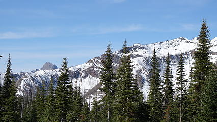
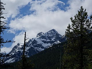
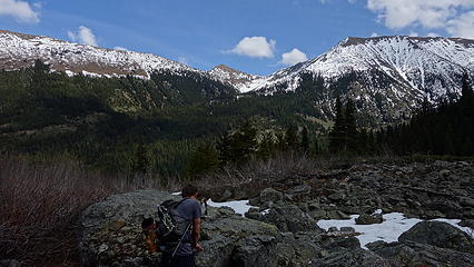
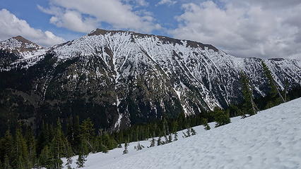
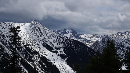
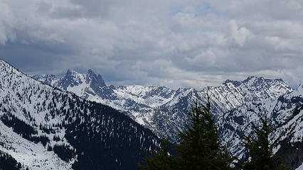
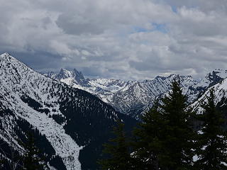
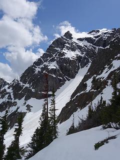
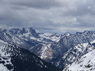
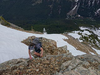
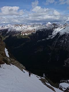
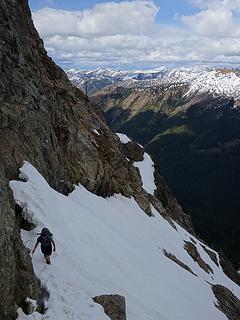
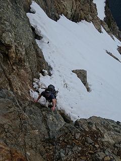
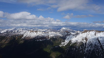
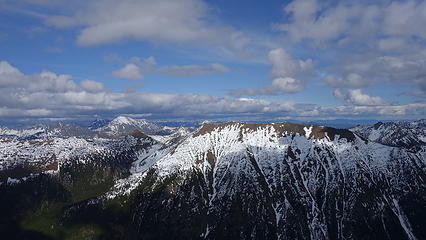
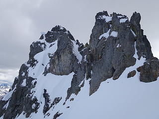
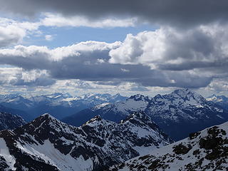
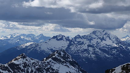
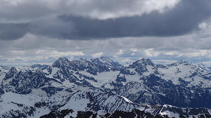
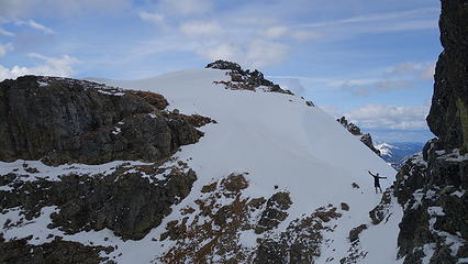
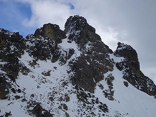
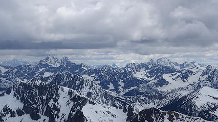
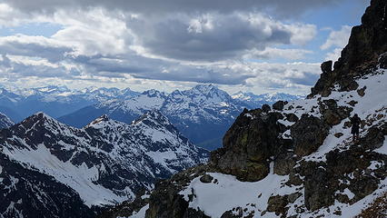
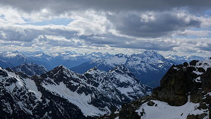
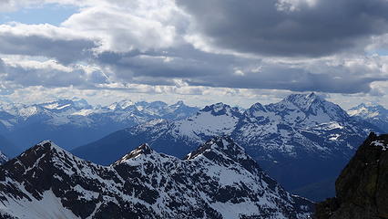
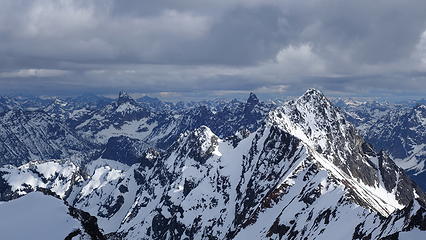
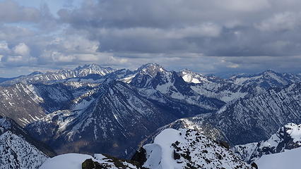
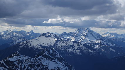
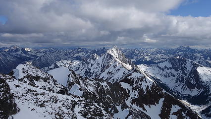
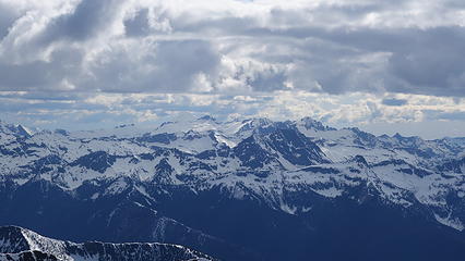
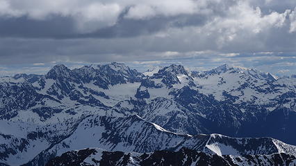
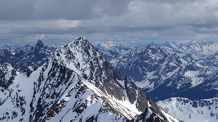
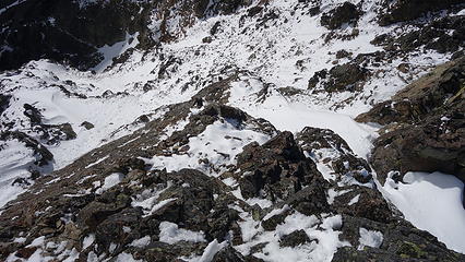
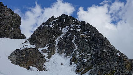
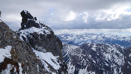
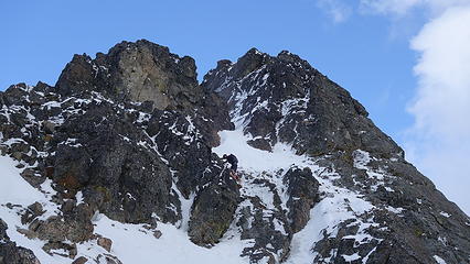
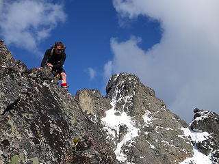
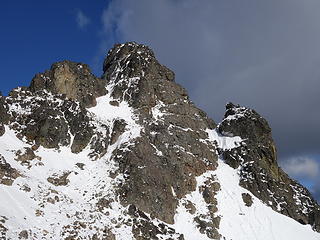
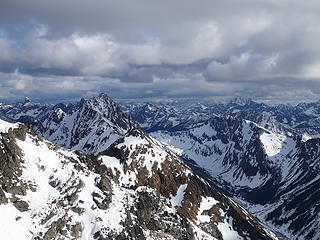
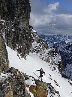
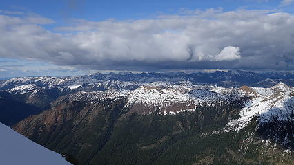
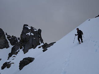
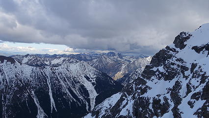
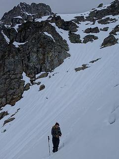
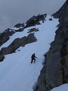
Since the snow appeared very steep in the 7000s elevation range, we opted to climb class 3 and 4 dry rock on the ribs and blocks between the snowfields. This was possible up to an extent, however at around 7300 feet, we were forced onto a large 45 degree snowfield to weave through cliff bands and much steeper sections, zig zagging our way up, mostly angling leftward until we reached the upper part of the east ridge at about 7650 feet where the angle eased significantly down to the 20-25 degree range. However this lower angle section of the route for the next 400 feet to the 8150 foot col would prove to be the most taxing, as I was sinking to my knees or more post holing through deep snow. Since I was out ahead feeling fairly strong, I ended up breaking most of the trail on the upper route. We finally reached the col immediately below a small rock spire just north of the true summit of Ballard. Here we rested briefly, and was mesmerized by the view we had to the west. All of the North Cascades were visible, with peaks like Goode, Mesahchie, and Eldorado easily picked out. Even Baker and Shuksan were visible through the perfectly timed passing clouds.
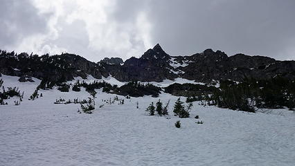
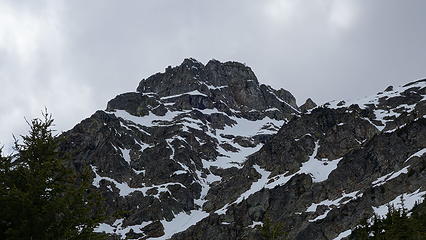
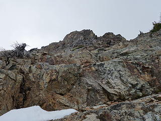
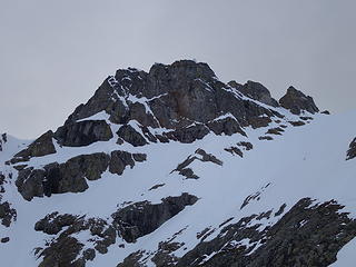
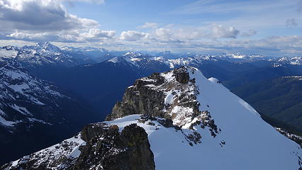
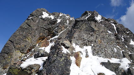
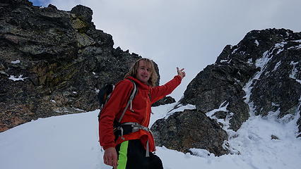
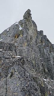
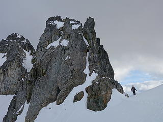
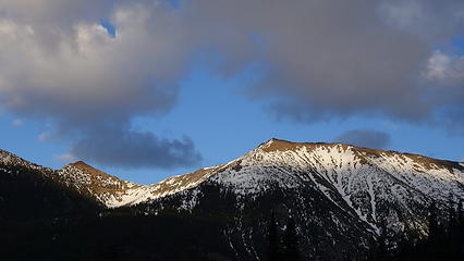
We crossed over to the west side of the col, and followed a beautiful ledge around the small tower, and continued right to the base of the summit pinnacle. Due to the recent storm, the scramble was covered in wet snow, making the difficulty significantly harder to climb. I initially continued traversing south until reaching a tiny notch, which blocked any further traversing, then scrambled directly up the west face for maybe 40 feet of class 3-4 until reaching a small ledge. Here, I traversed back north all the way to the north ridge and climbed a low 5th class step requiring me to stem out wide on small ledges. Above that it was another bit of 4th class to the summit. Every little ledge was wet or partially covered in melting snow requiring extra caution, but nonetheless, I found the scrambling fun. Unfortunately though, with Josh being in his ski boots (I had leather hiker boots) he wasn't comfortable making the exposed scramble with stiff plastic boots. I had to enjoy the summit alone. This summit was easily one of the best summit views I have seen in the Cascades, but that is partially owed to the amazing photographic lighting we experienced. Shortly before 5pm, I stood on top of one of my final P400 top 100 peaks, on a trip back to WA that was truly last minute (I leave for Indonesia tomorrow!).
By 6pm, Josh and I started to make the descent back down, which we made very quick work descending the snow. We decided to plunge step down the snow more, and avoid the class 3-4 rock steps we scrambled on the way up. Still, rather than descend down a section of 50 degree wet snow I opted for a different rock rib. We met up with our ascent tracks and continued down. The snow improved and I was able to do my trademark flying leaps (running down with plunge stepping the steep snow slopes with ~10-12 feet between steps) just as fast as Josh was able to glissade! Literally, it took us about 10 minutes to descend back to the 4900 foot basin from the 6200 foot bench on the east ridge, a drop of about 1300 feet. I don't think I could have even skid it that fast!
The rest of the hike back to the bridge over the South Fork Slate Creek was uneventful, and we even got back to our overnight gear before dark, so to get a head start on the next days' long walk back we walked the road back to the closure gate before setting up the tent, eating some Oreos and hitting the sack.
At 5am or so the next morning we got up, packed up and were moving by 5:50. We walked back up to Harts Pass, with the last mile or so being the most miserable as we had to pick up our stashed skis, then walk with them the 3 miles back down to the car. Moral of the story is that skis were not needed on this climb...there simply wasn't enough snow. By 10am we reached the car and started the long drive back. I was even able to make it back to Renton in time to meet up with my visiting cousins from the eastern US.
Only Liberty Cap and Castle remaining (among dozens of other climbs I still want to do), however those will have to wait until I return from Indonesia in the end of June.
