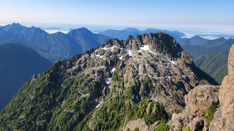
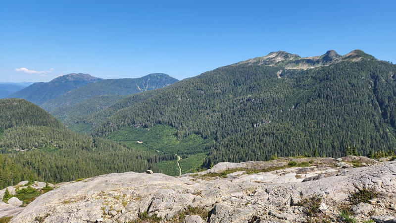
triple peak - 5108' - SE Ridge Class 5.4
august 2022
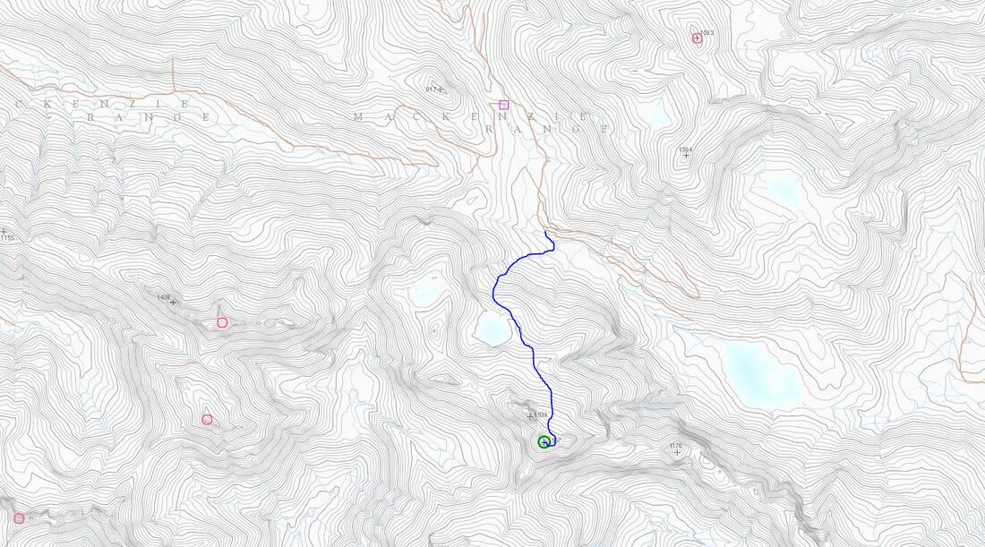
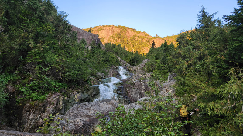
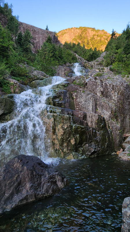
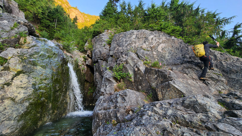
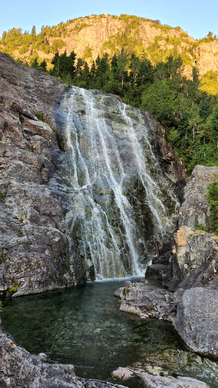
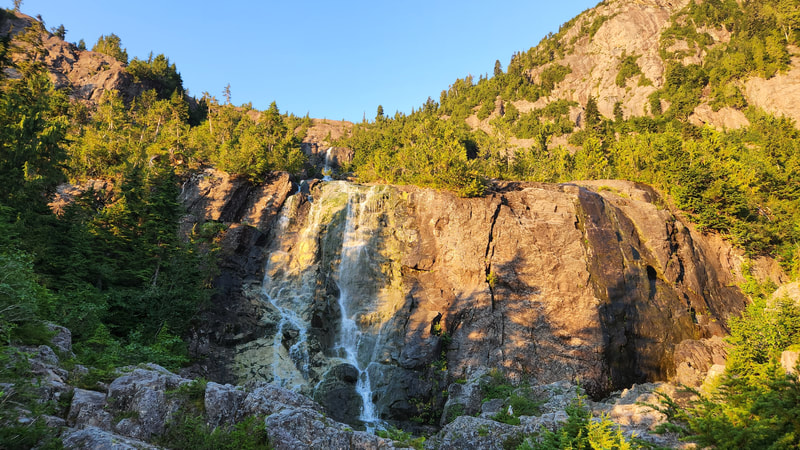
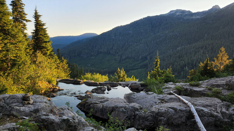
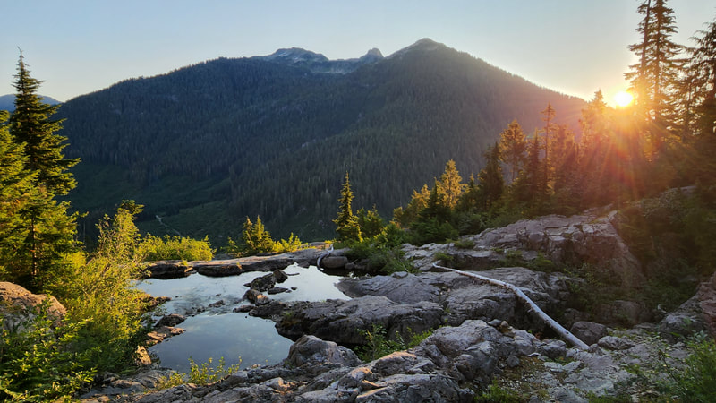
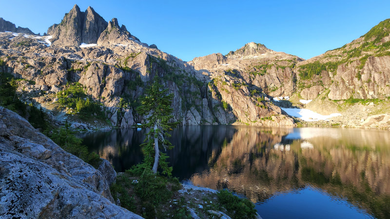
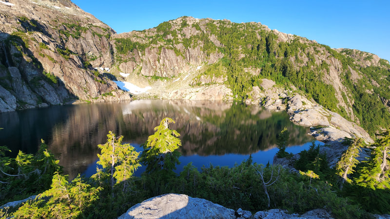
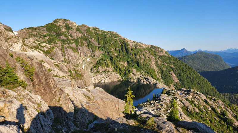
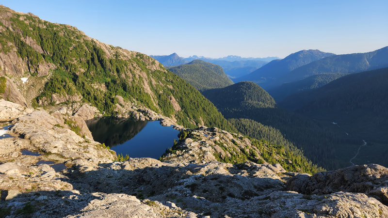
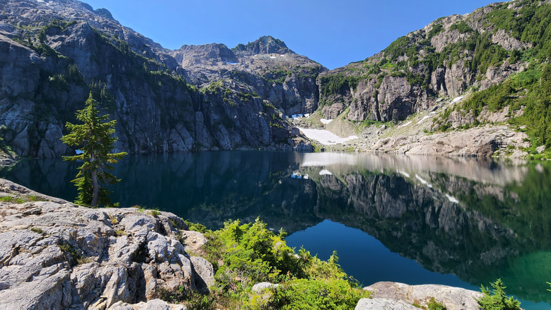
Triple Peak is a super fun and striking peak in the southwestern part of Victoria Island. Steven and I drove out to the Cobalt Lake trailhead on the Marion Creek FS Road east of Nanaimo off BC highway 4. See the Google driving direction here. After our climb of Warden Peak we were ready for a nice dinner and an early bedtime at the trailhead. We were happy to find the road continued past the Cobalt Lake trailhead and we parked in a pullout on the south side of the road right where the road makes a curve from southward to east, which marks the trailhead. I do not recall the road being overly rough, but most people say a high clearance 4WD is needed, although I think an aWD SUV would be fine if driven carefully by a skilled driver. I slept in the bed of the truck quite well and as the twilight increased around 6am we emerged and packed bags and started hiking. Locating the trail was not too challenging, just had to walk along the edge of the parking area to spot it, but it does drop about 150 feet immediately to cross the Effingham River where a fallen log is available to cross the river. This descent is steep and some tree roots occationally act as handholds. The trail then weaves its way steeply up over 2km and 500 meters of elevation gain to the beautiful, and to my knowledge unnamed alpine lake. The nice part of this trail is the dozen or so waterfalls you cut back and forth across as the trail more or less follows the outlet stream of the lake. The trail is somewhat well maintained with the addition of hand lines in some of the steeper spots. Once we reached the lake we took a mosquito infested break to get some food.
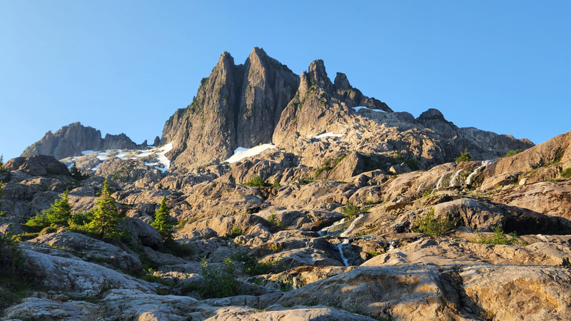
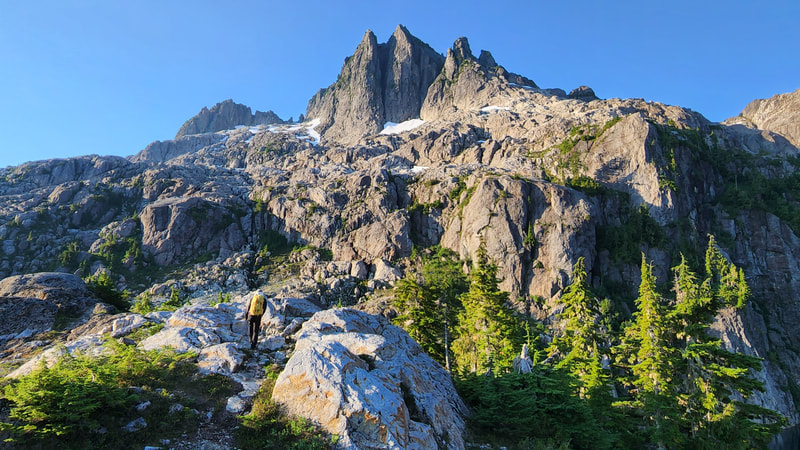
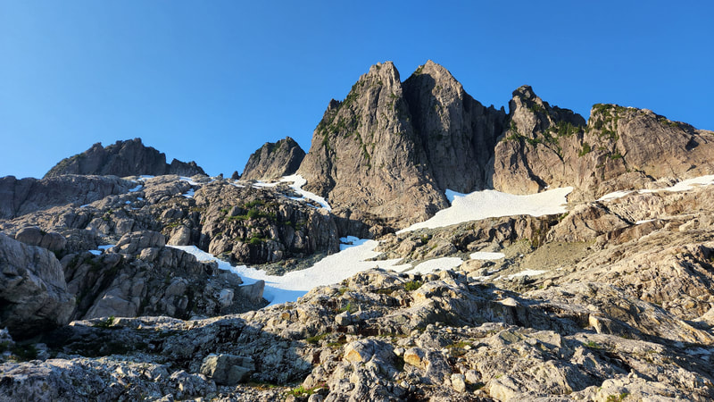
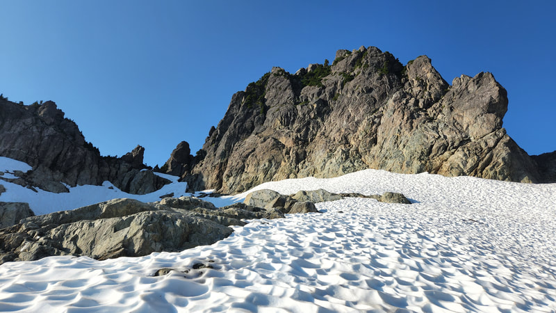
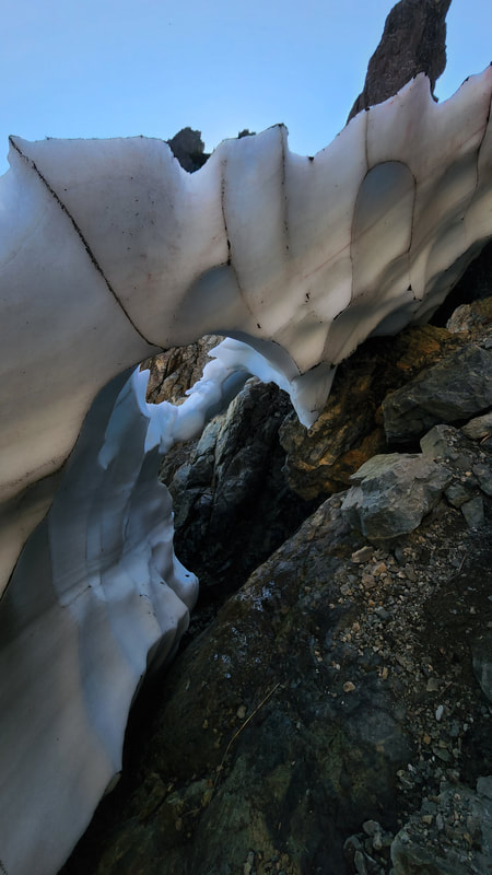
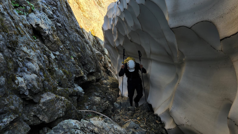
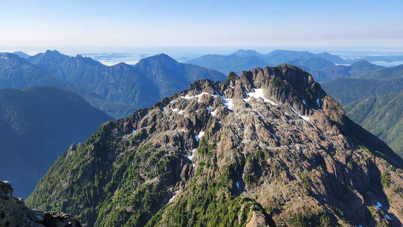
Continuing beyond the lake we ascended to the left of a low cliff and strung together talus slopes with remnant snowfields on sloped terrain heading up the north side of the peak. The towering north face of the north peak commands the view from the lake, but this is not actually the true summit, as the highest point is hidden behind. We decided to climb the east ridge route to the summit rather than the north ridge as we had reports of the north ridge no longer being accessible due to a large moat. As we reached the 1400 meter elevation contour, the remaining snowfield steepened the final stretch to the notch, but we were able to cut right and ascend talus inside the wide moat between the snow and the rock face, allowing us easy access to the key notch on the east ridge route.
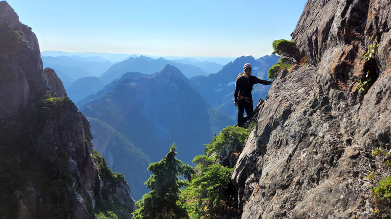
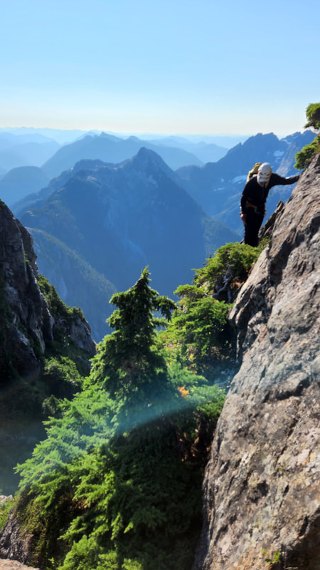
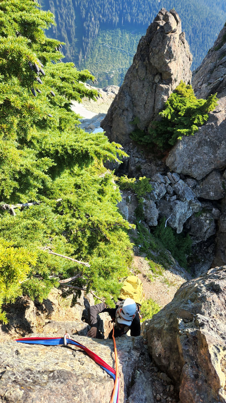
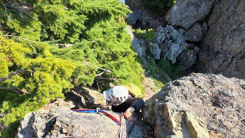
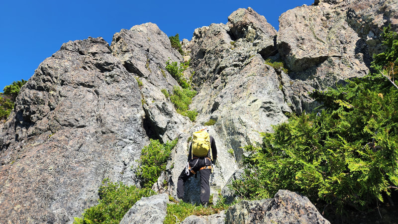
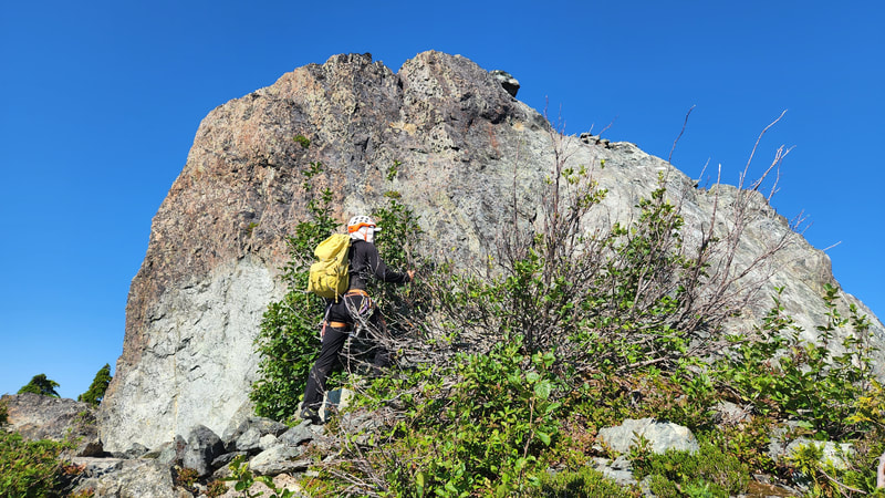
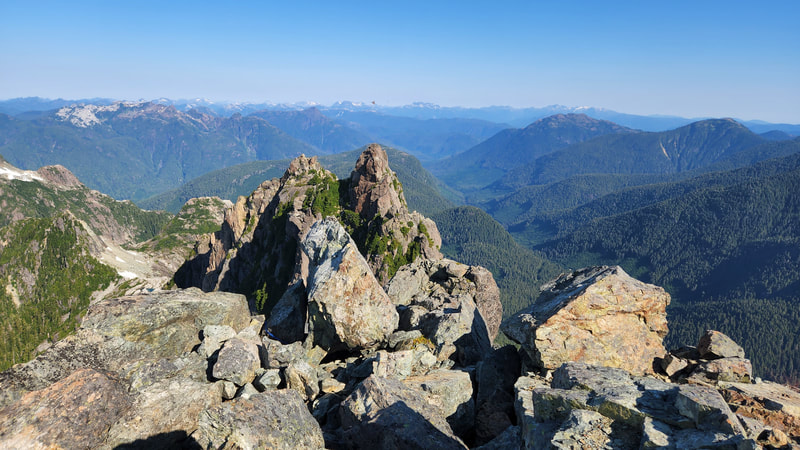
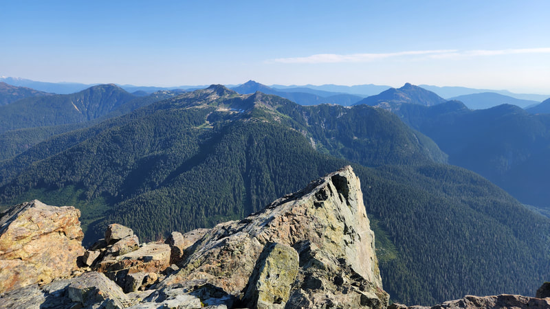
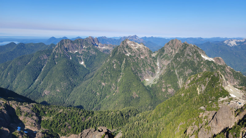
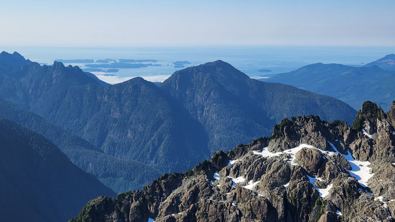
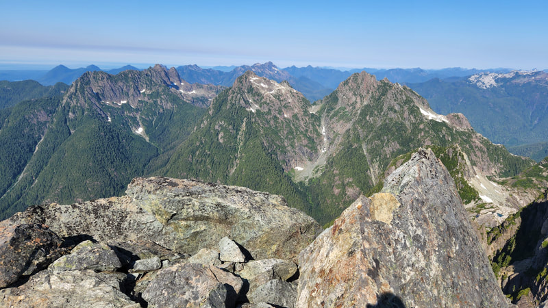
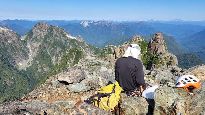
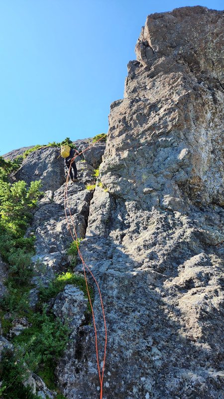
The final 300 feet or so to the summit involved a delicate traverse to the right from the notch, to cross through a big cannonhole, then a short section of easy walking to the base of what I believed was the first actual pitch. A 20 foot vertical handcrack with a small tree on the ledge at its top felt like 5.4 or 5.5 so we got the rope out and I led up the crack placing a couple pieces of pro. After belaying Steven up, we continued soloing up more 3rd and 4th class terrain on the ridge until we got to a shallow but steeper gully, that increased in difficulty closer to the top to about 5.5 with foot smear required on the sides. The last 10 feet of this really didn't feel good to be soloing on but we managed to both get up. Above this the remaining 60-70 feet to the summit was an easy romp. The summit views was stunning, with the open Pacific visible on the horizon. Smoke from a nearby forest fire did muddy the air a little, but all the peaks were still visible.
We opted to make three rappells on the descent, one down the shallow gully, a second down the handcrack, and a third down from an anchor I retrofitted inside the cannonhole so we didn't have to backtrack the delicate traverse to the notch, and allowed us to just rappel back into the wide moat. From there it was a quick walk back to the truck, and we managed to make it to the ferry terminal in time for what we expected would be only a 30 minute wait for the next ferry, but the ferries were so backed up the next 2 runs were already full. So we proceeded to wait 6 hours to get a ride back to the mainland. By the time we were back in White Rock it was nearly midnight, and I still had a 2 hour drive to get back to Renton...ugh.
See Stevens trip report here.
Proudly powered by Weebly
