good day jim canyon - 3a
october 2021
Map of the Good Day Jim and Hard Day Harvey canyons. Zoom in for details
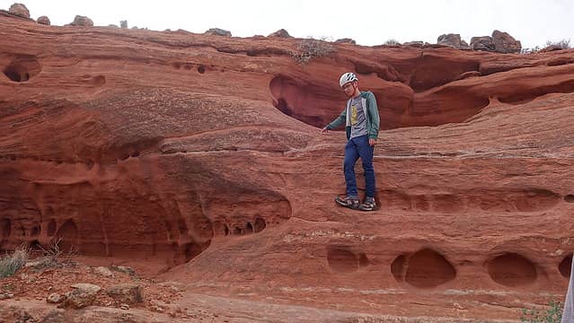
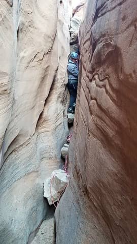
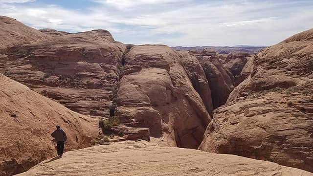
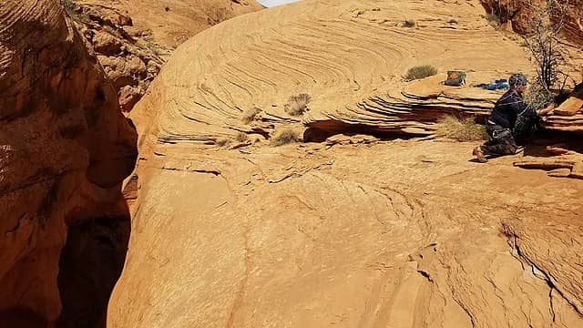
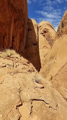
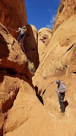
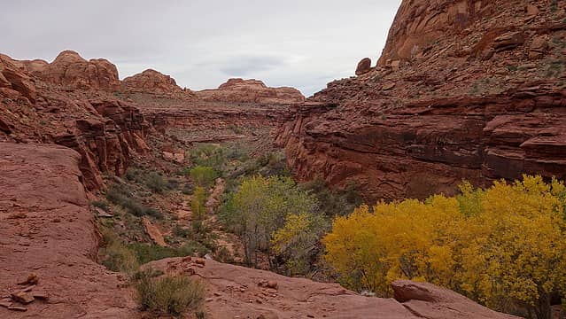
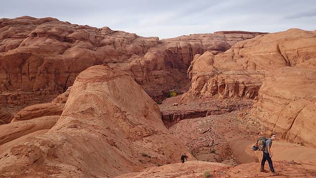
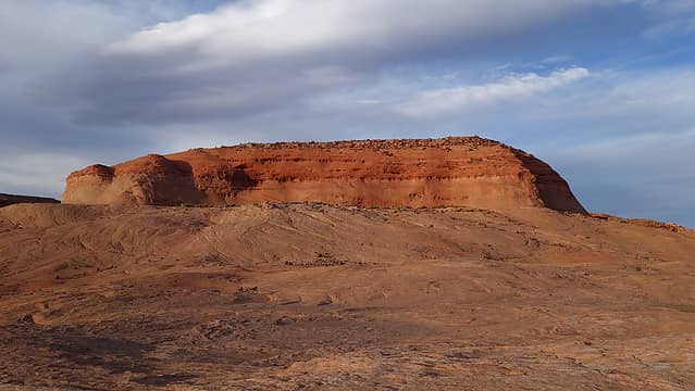
Last weekend I left Grand Junction to climb Mount Ellsworth on Saturday, but on Sunday we went and did a slot canyon directly adjacent to Hard Day Harvey canyon, which Josh and I descended back in March of this year and proved to be quite the adventure. This time we had Scotts Pathfinder which was able to drive all the way out to the Sevenmile Canyon area much quicker than my car. The flash floods of last month also made the road quite a bit rougher in many spots than it was in March, so much so that there would have been places my car would not have been able to cross. We reached the same parking spot right at the NPS boundary for the Glen Canyon NRA and at 10:30am we started down the Average Joe Fork of Good Day Jim (shown in orange on the map). This fork just to the east of the main Good Day Jim canyon will allow you to bypass the 10 foot deep keeper pothole as it intersects the main canyon just a few hundred feet below this pothole. We walked 15 minutes or so southwest from the car on the Carmel formation until we hit the Page sandstone dropoff. There is a class 4 scramble down this section we did by walking left along the rim for a few hundred feet and descended the obvious weakness into the drainage below.
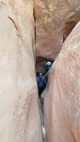
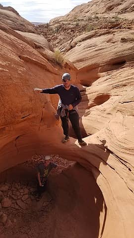
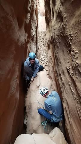
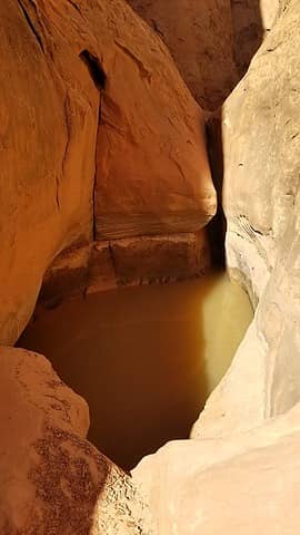
We continued walking down the Navajo, with short sections of slot presenting itself, then opening back up. We did end up doing 1 short rappel of maybe 12 feet midway down the Average Joe fork was it would have been easy to downclimb in hindsight. I annoyingly forgot my harness so I had to borrow Scotts, after he rappelled he would tie it to the rope and I would pull it up. We quickly made it to the junction where this fork meets Good Day Jim main fork (shown in pink on the map). We took the 2 minute detour up the main fork to take a look at the keeper pothole, and to my amazement it was pretty dry! We also saw a small pothole with an arch cutting through it that was perfect for Kessler to stand under.
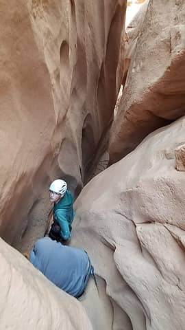
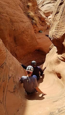
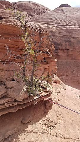
We then continued down canyon, but were quickly met with two potholes, the first of which was half full of water. Kessler and Scott quickly slid on into the first one and got pretty wet right away. I was hesitant to go in knowing there may be a steep dropoff down the opposite lip of the pothole, and no anchors in sight. So Kessler peeked over and confirmed it was indeed a rappel over the other side. I went back and ascended some slickrock above the east side of the canyon back at the Average Joe junction, and traversed past the pothole they were in, and tried to get a good look at what lay beyond. I saw a second pothole below the first, and another drop below that, none of which was going to be feasible to descend directly since there were no anchor material, and the potholes were half full of water. I spotted a bush above the canyon that looked like we could rappel about 80 feet back into the canyon below these obstacles and continue onwards. This bypass is marked in yellow on the map.
I returned back to Scott and Kessler and tossed a rope down to them and held it while they re-climbed the wet slickrock. Good thing I hesitated to slide down, otherwise it would have been challenging to get out! Once they were out we searched again for rappel anchors in the canyon but could not really find anything good. It was clear all the existing anchors inside these potholes were washed out last month. We then traversed above to the bush and tied some webbing around it and all gingerly rappelled down. The small bush ended up being quite solid.
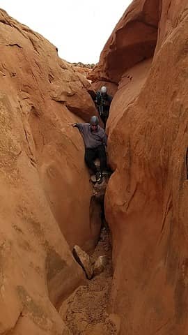
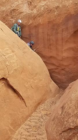
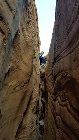
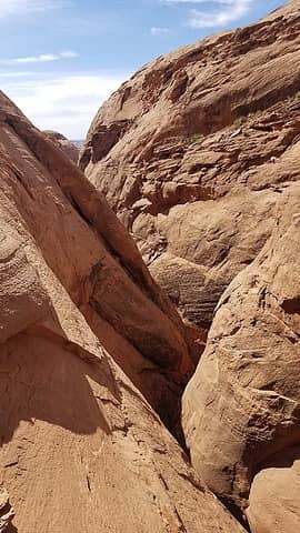
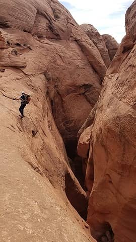
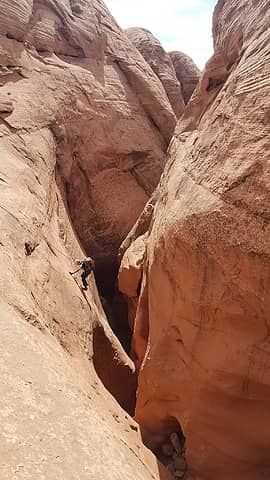
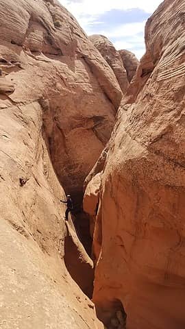
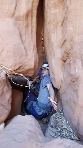
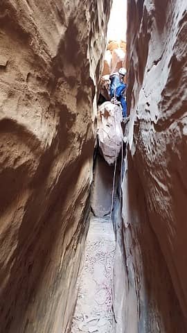
We continued down now, and the canyon got a bit simpler. We came across a handful of drops, all of which I was able to descend with rappelling, and the canyon never really got too narrow, certainly nothing like Hard Day Harvey. There was another lower pothole that was filled with water but we were able to ascend the slickrock on the right side and traverse around it, then downclimb back to the canyon below it. A rappel anchor was also found here for anyone who may not want to do the 10 foot downclimb at the end. After an hour and a half or so, we came to a definite rappel that dropped into a disgusting pit of muck that stunk like cow poo! Scott went first and of course got the harness covered in crap. I took off my pants and shoes and prepared for vomiting. I rappelled down and entered the filth. Walking through it my feet sunk on at least a foot and just reeked. After climbing out the other side I spent at least 10 minutes trying to clean my feet off. Everything was covered in mud and we still had quite a bit to go. Shortly beyond this 40 foot rappel the canyon opened up and we passed the slab Josh and I attempted to climb out back in March, which I subsequently had to rig a sketchy rappel to get back down, and left the rope. To my suprise, the rope was gone when we passed by. I also didn't see it anywhere in the canyon so I assume someone was able to flick it down and carry it out...thank you to whoever did that.
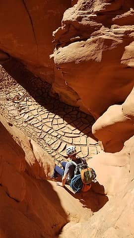
Descending the part of the canyon we upclimbed in March was much different this time around. These lower potholes still had a lot of water. I again had to remove mt shoes and pants and wade through, which almost came to my waist in one of them. Downclimbing the narrow sections of canyon barefoot was painful on the feet too. Scott ended up falling in the water and got pretty wet. The canyon ended with the 6 foot downclimb that this time around was totally drenched, and with my bare feet all muddy, it was considerably harder to climb down. I also didn't want to just jump down since I was barefoot, and not in a position to put my shoes back on.
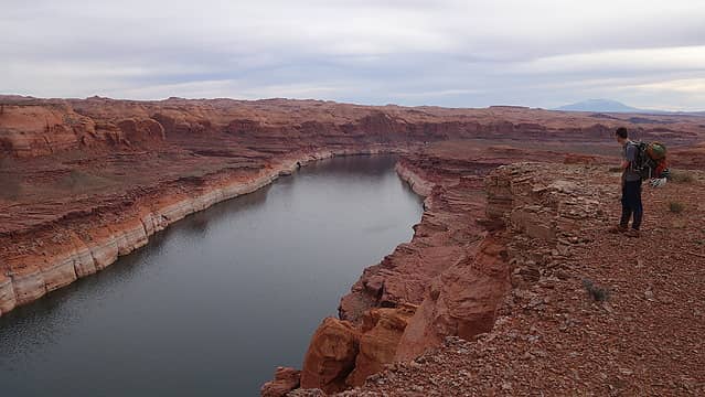
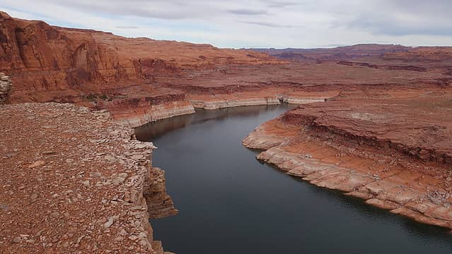
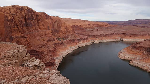
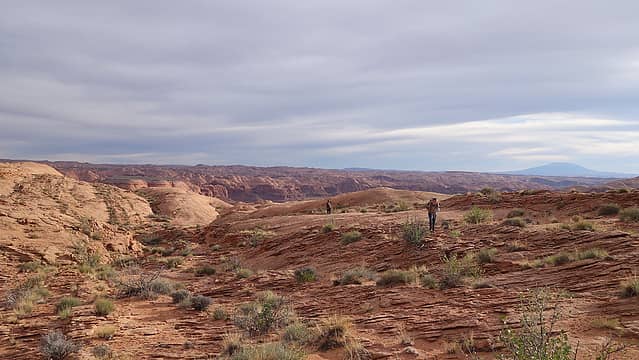
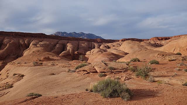
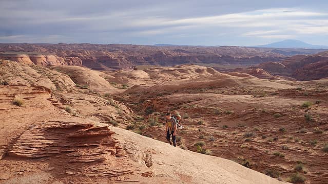
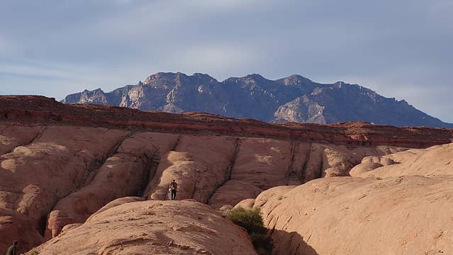
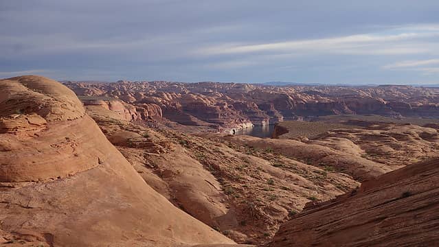
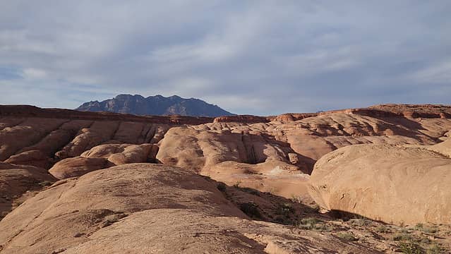
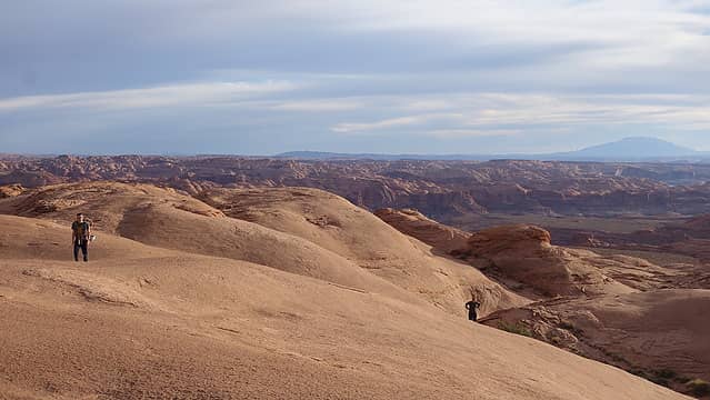
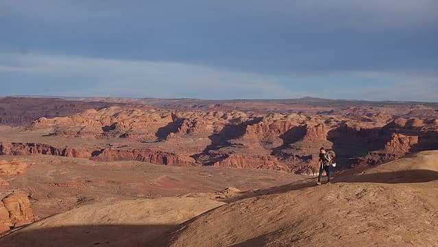
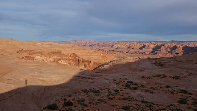
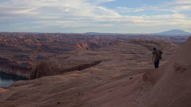
I managed to climb down once I found the critical little handhold, and we walked out to the junction with Hard Day Harvey and took a break. I gave scott my long sleeve shirt so he could warm up and we ate lunch. We then continued a short ways down the continuation of the canyon until we hit the last rappel, which was only 25 feet or so. At the bottom of this rappel I cleaned my feet again and put the shoes back on to prepare for the long hike back. We hiked down the now wide open canyon for about half a mile until we hit a 50 foot drop with a spring below. Here, we continued left and walked the Kayenta bench for another quarter mile until we were able to ascend up the Navajo and follow the blue exit route back along the east side of Hard Day Harvey. This incredibly scenic hike featured great views of Lake Powell directly below and at times the Navajo was so uniform it looked like we were walking on the moon. Mount Ellsworth and Holmes stole the show to the north as well.
Photos of me wallowing in the muck to come soon
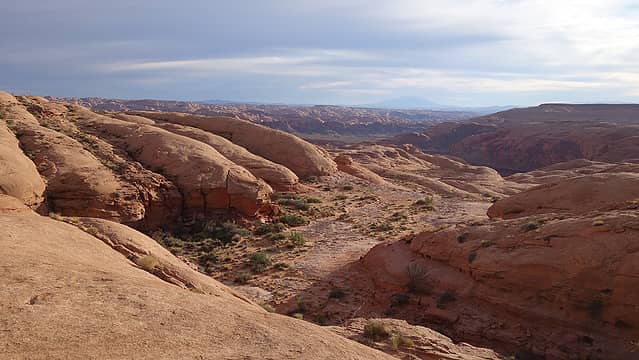
We continued hiking north, avoiding the many joints in the navajo creating 20-30 foot drops separated by vertical fins that would often make passage not possible. We had to circumvent all these until we were able to get on more gentle terrain. We aimed for a finger of Carmel rim sticking out which offered the route back to the rim, and them the easy walk back to the car. Stan's Burger Shack in Hanksville was in order on our way back to Grand Junction and it was ohhhh so amazing!
