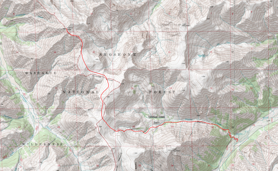
Francs Peak - 13153' - Meadow Creek Route Class 2
july 2020
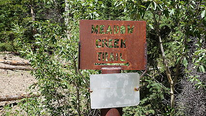
I took a couple days off and rested in Cody, hanging out with a few old friends who still lived there who I hadn't seen in many years (dating back to the days I lived in Red Lodge and Bozeman!) I was thrilled to be able to catch up with them. Francs Peak is an easy peak in the Wyoming Absarokas, and the only 13er in the volcanic and non fault block mountains of Wyoming. Of all the 13ers, this one is the easiest, and shortest, only requiring a half day trip for fast hikers, or a full day for more leisuraly walkers. Without a 4WD high clearance vehicle, the shortest route is via the Meadow Creek Route, which starts at the Meadow Creek Trailhead on Wood River Road (FS 200). It's a long drive on gravel roads to this point, but from the town of Meeteetse, I turned southwest onto Pitchfork Road (Highway 290) and just before reaching the Lower Sunshine Reservoir, I turned south onto the Wood River Road and followed it for a long ways towards Kirwin. The Meadow Creek Trailhead is on the right at 8400 feet elevation a few mines before Kirwin. There are two stream crossings that you must drive through that will not be possible in 2WD cars before early July (the road fords Wood River twice in the last couple miles just before reaching the Meadow Creek Trailhead). When I was there on July 18th, I barely made it through them in my stationwagon (2WD with more clearance than the average car but not as much as an SUV). If you cannot cross these streams, it's only an additional 1.5 miles or so road walk each way.
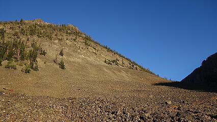
I started up the Meadow Creek trail shortly after sunrise to the sound of dozens of people along the Wood River with chain saws cutting up logs and thinning the forest. As I hiked up the initial 400 feet up and out of the Wood River Valley, the switchbacks on the trail were insanely obnoxious, but at 8800 feet the trail started a more straight path and followed the left side of Meadow Creek. Francs Peak is nutorious for grizzle bears, more so than any other 13er in Wyoming and it's not uncommon for people to see dozens of them. Because of this, I borrowed a can of bear speay from a friend in Cody, which was the only peak I even brought bear protection for (grizzlies have nearly completely evacuated both the Wind River and Bighorn Ranges for terrain further north in Montana and Canada).
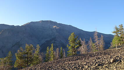
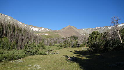
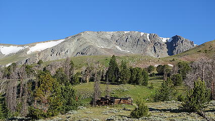
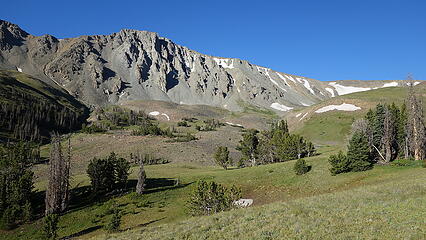
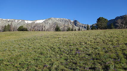
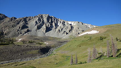
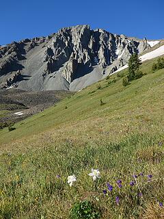
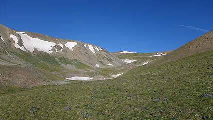
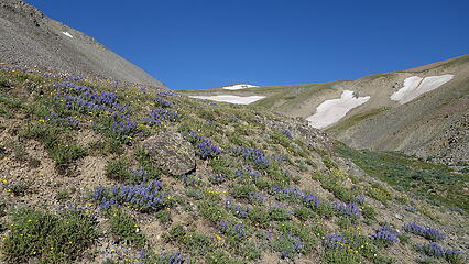
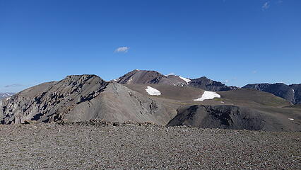
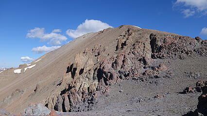
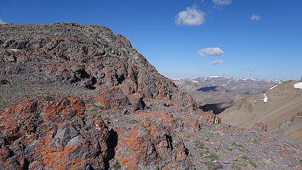
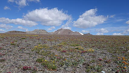
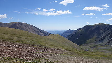
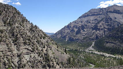
As I neared treeline, I entered a gorgeous meadow (big surprise!) and passed by a few people camping. I continued up the trail as it followed the left southern fork of the upper basin. I filled up water and left the trail just before it turned sharply south and made an ascending traverse northwestward to the very broad ridge. From there I went up and over a small hill and descended a couple hundred feet aiming for the base of the SE ridge of Francs Peak. The terrain through here was incredibly gentle and flat. I passed by a lone grizzly bear well off to my right who barely even noticed me. I did see a lot of evidence of grizzlys on the ridge, and even all the way up towards the summit as well! Both grizzly prints, and made holes and rocks overturned as they look to eat the moths and bugs that hide under them. Just as I was reaching the summit another solo hiker was coming down and he mentioned that he scared away 15 grizzly bears around the summit just before I arrived  I had heard what I thought was someone yelling above me but couldn't figure out what it was until he mentioned that.
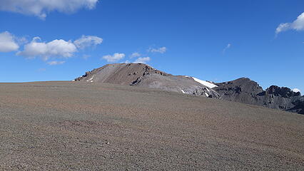
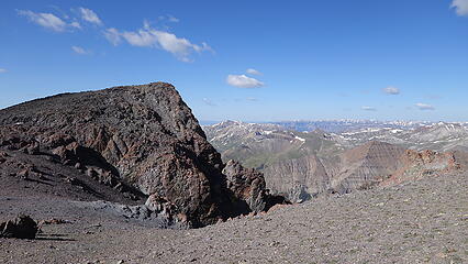
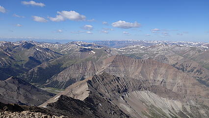
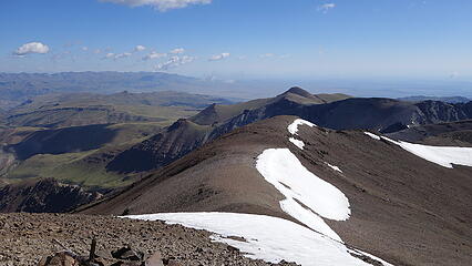
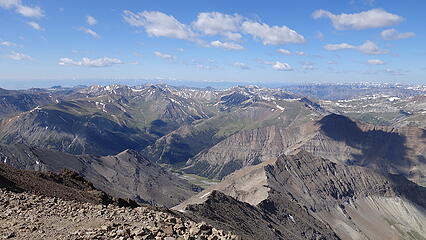
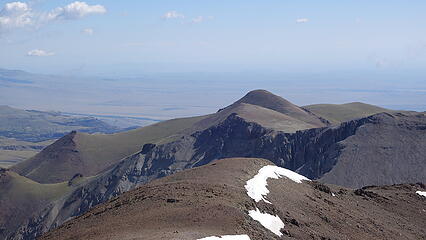
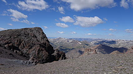
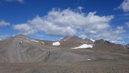
Given how calm and warm it was once again, I sat on the summit by myself for a half hour enjoying the view. All these Absaroka Peaks are all ones I have never seen or climbed before, but every one of them looked class 2. Certainly gentle giants. I was back at the car just a bit after noon after a quick descent for a nice half day stroll up Wyomings easiest 13er.