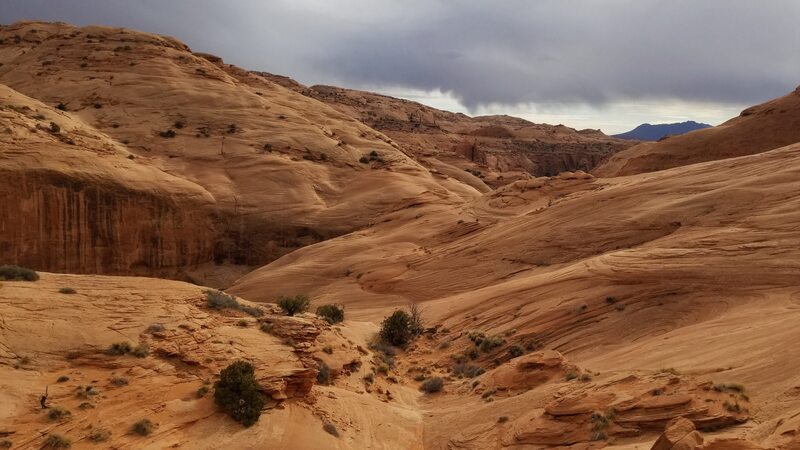
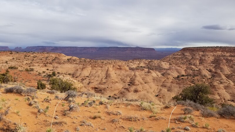
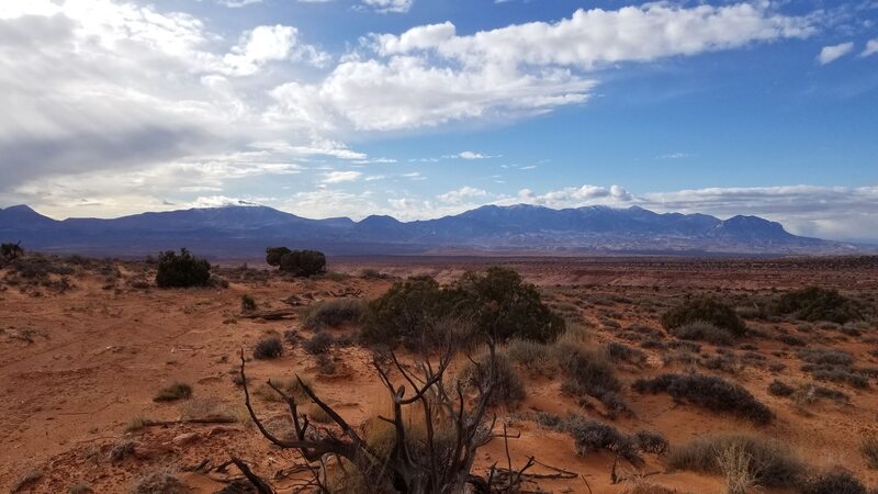
upper stair canyon - 3a
november 2021
This canyon almost didn't happen, since the group I had met up with that came down from Salt Lake to meet me hit a cow at high speeds on Highway 95 south of Hanksville at about 11pm on our way down. I, being right behind them in my car was lucky to not also read end them. Thankfully no one was injured (the cow did die though). Without a working car, I shuttled the guys back a ways to a spot we could all camp in cell service while they organized someone else to drive down since the SUV was totaled. Upper Stair Canyon is at the very upper end of one of the longest tributaries of the North Wash. This is a remote and spectacular slot canyon worth a visit.
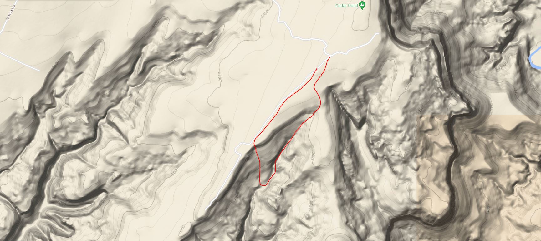
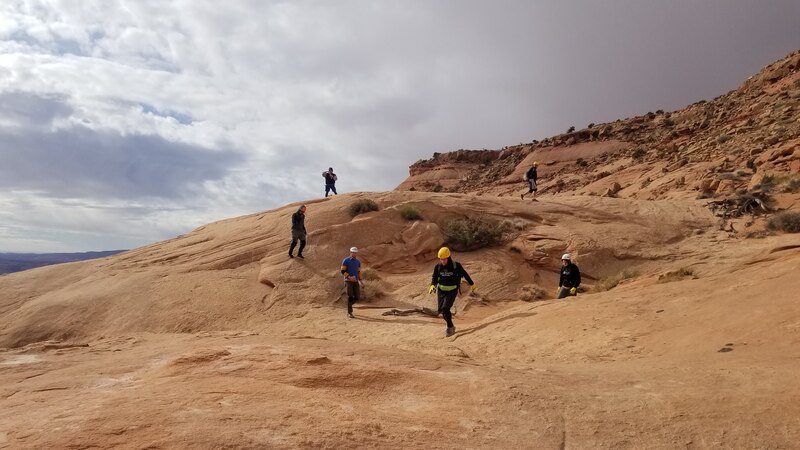
The next morning, we were all able to continue all the way to the end of the Cedar Point Road (one of their friends came down early in the morning with a large crew cab pickup). This long dirt roads turns east off of Highway 95 about 26 miles south of the junction with Highway 24. Save the Google directions before you leave Hanksville. It's 11.2 miles on dirt, sand and gravel once you leave the highway with no cell servide. The first 8 miles of this road are passable by tougher passenger cars (think stationwagons) but a steep but short descent at the vicinity of a 4 way intersection and the last 3 miles beyond this requires high clearance and 4WD. At the end of the road, an incredible view of the Dirty Devil River gorge greets you. Park here near the location Google marks for Cedar Point and hike south a few minutes and enter the canyon which drops in a SSW direction (away from the Dirty Devil).
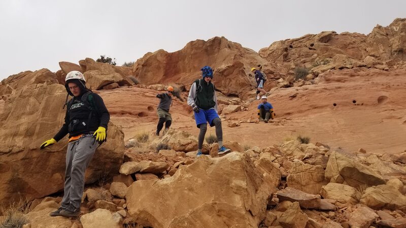
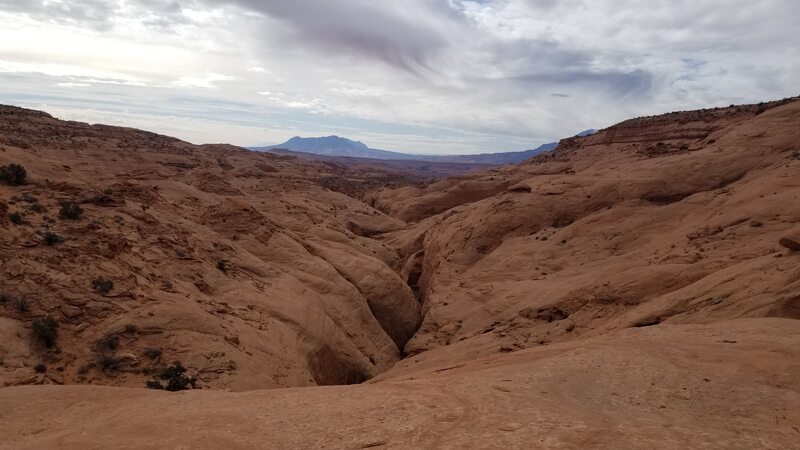
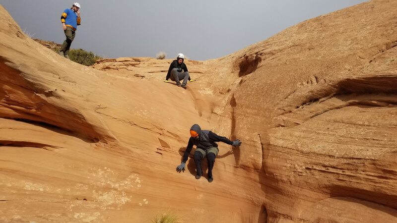
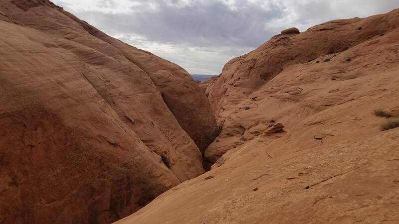
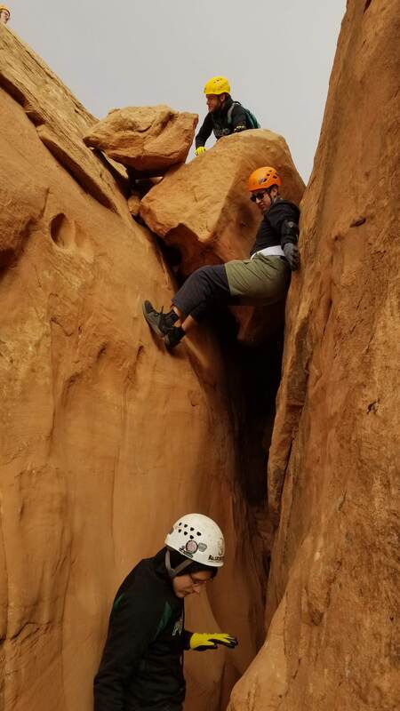
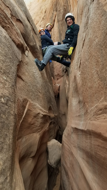
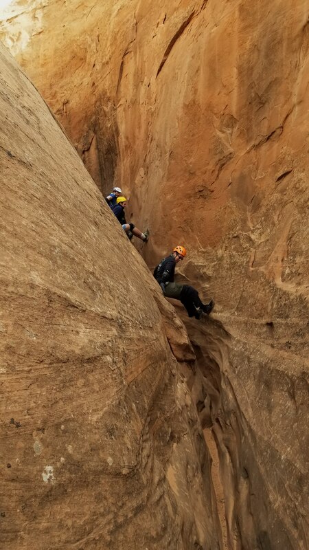
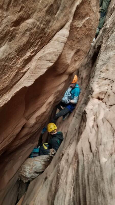
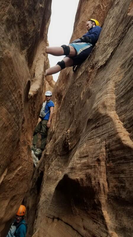
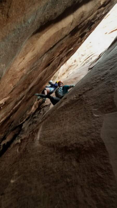
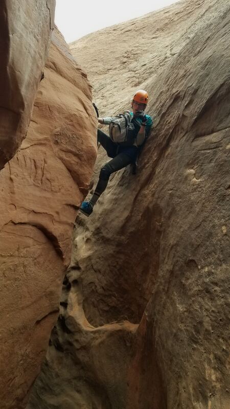
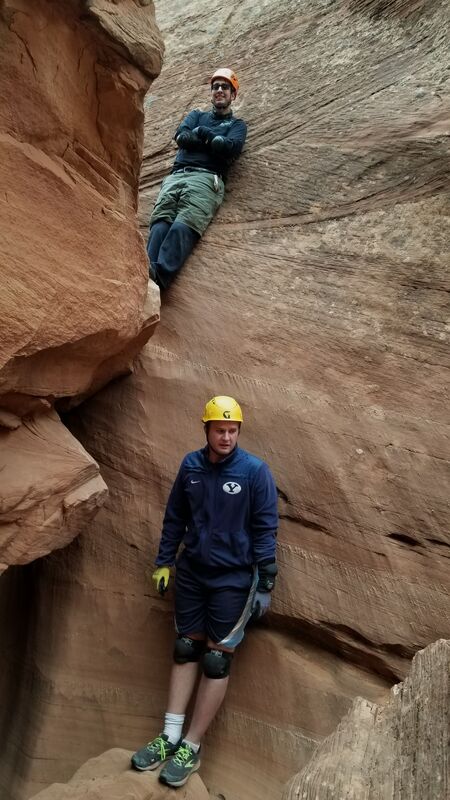
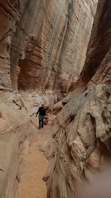
The slot canyon is a mix of deep slanted sections, narrow sections you must climb up off the bottom up to 15-20 feet and stem your way through. After a sustained narrow slot, a short opening littered with boulders is passed, then another short slot to a second opening where you can exit up slickrock on the right. We did not do any rappells but some parties would like a short rope (no more than 30m) to assist people down with meat anchors, with the most experienced canyoneer downclimbing the few short drops we encountered. No slings were really found though. Once back on the rim on the west side, walk the narrow road back to Cedar Point. This canyon was a great half day outing and one of the favorites I have done in Robbers Roost. Photos and map below.
Proudly powered by Weebly
