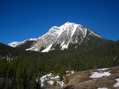
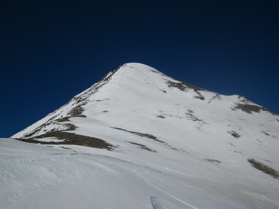
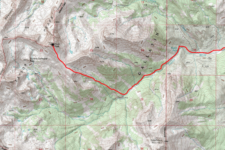
koch peak - 11,293' - SE slopes class 2
april 2015
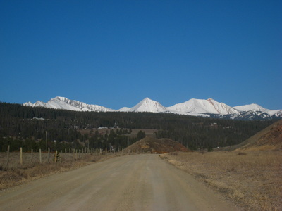
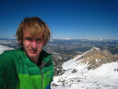
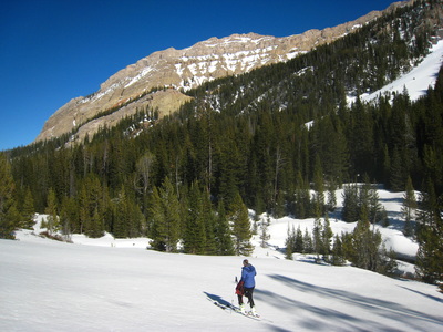
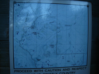
Koch Peak is an 11,000 footer in the Madison Range of SW Montana. I ascended its east slopes to SE ridge from the Taylor Fork Road off Highway 191 along the Gallatin River. There was enough snow for my friend Paige to ski it however I opted to simply walk it since I am not a good skier and didn't have my skis anyway. The trail past the Sean Miles sign depicting a tragic death of a young man was in good condition, but quickly disappeared under snow cover. At one point I fabricated a bridge over the creek with a downed tree but in the process of picking it up my left foot slipped and I got my boot wet anyways!
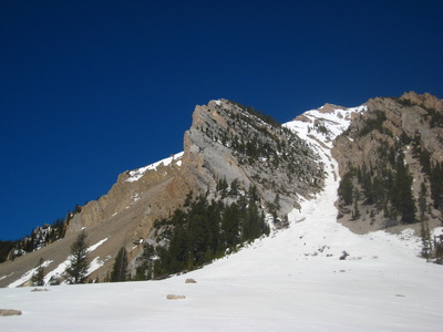
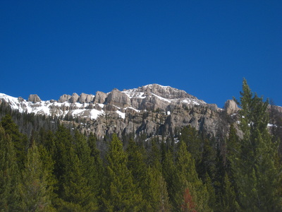
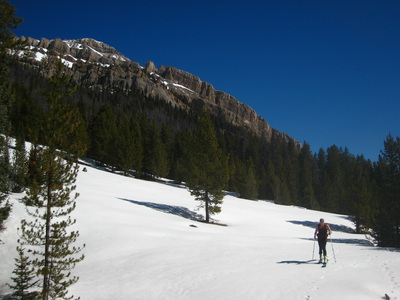
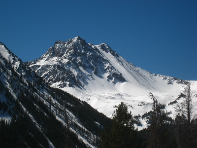
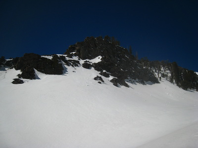
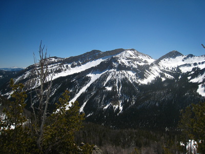
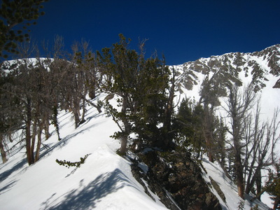
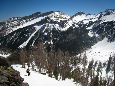
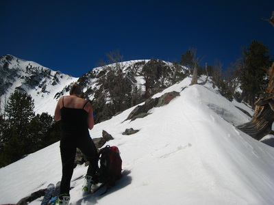
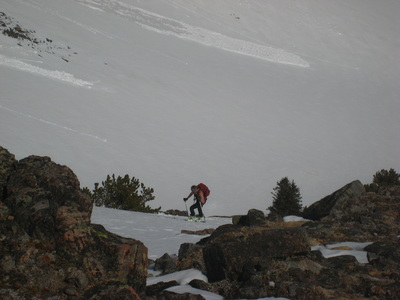
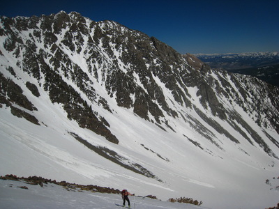
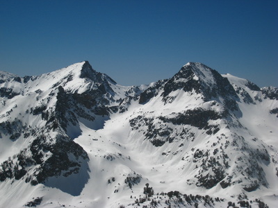
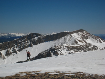
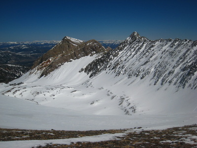
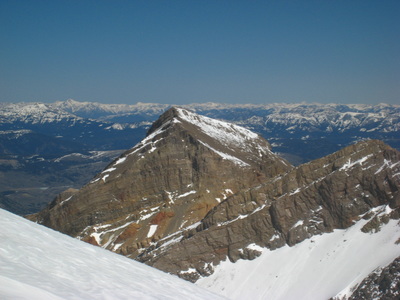
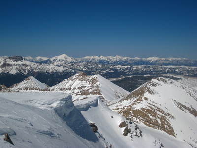
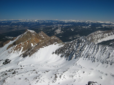
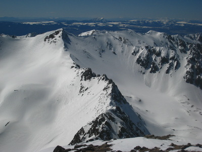
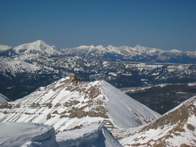
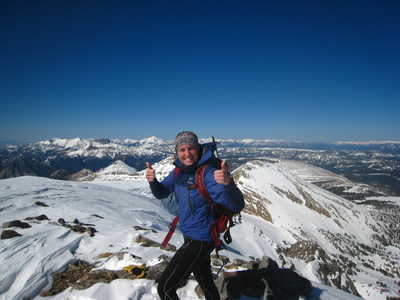
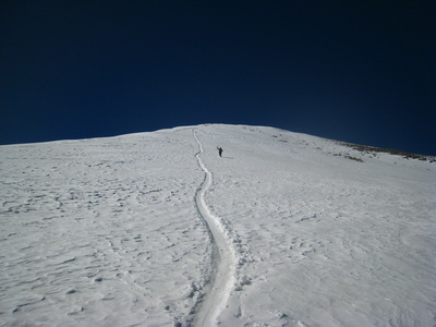
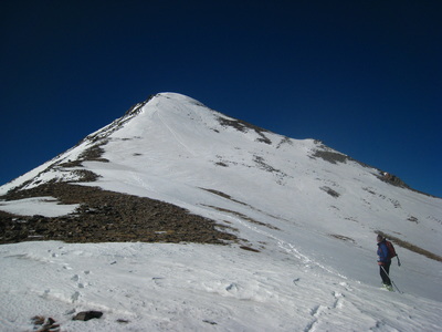
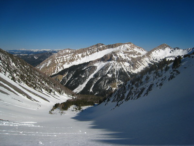
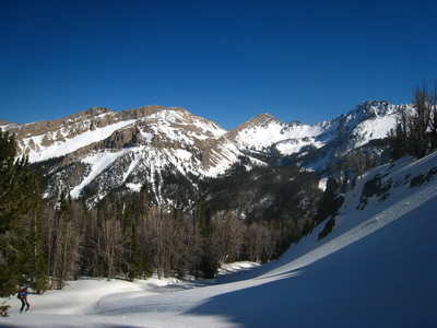
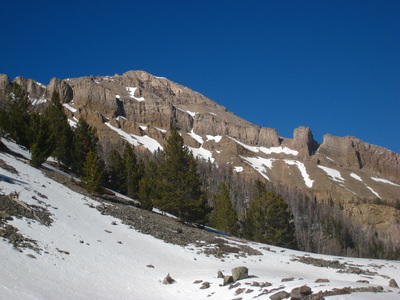
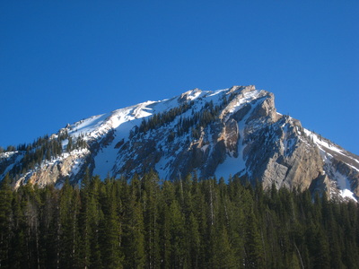
We continued up the valley generally heading west. Near the creek there were occasional open meadows but it was mostly a very muddy hike. We passed under a set of very steep bright yellow cliffs to our right, and decided to simply climb straight up the east slopes, utilizing the middle of three ridges dropping off the east slopes of Koch Peak. From where we left the valley floor at 8,200 feet, we ascended to treeline and scrambled up to the ridge which involved some snow covered class 3. Paige tried skinning up the gully but became uncomfortable with the snow conditions and took a steeper route up the slope to meet me on the ridge. This entailed some serious post holing for her and took a monumental effort for her to reach the ridge while I waited. From there we walked the narrow ridge to 10,400 feet where it opened up onto a gentle slope. We reached the top of the long gully Paige initially wanted to skin up on skis and finished the final 700 foot ascent up the southeast ridge to the summit. The overall distance ended up being longer than I thought so it was around 2:30 pm when we topped out. Views of Lone Peak and other nearby 11ers in the Madison Range were good under cloudless skies and calm winds.
On the descent, Paige skid down a good chunk of the route all the way to the creek back in the valley where I was able to keep up fairly well running down. Unfortunately the gully wasn't steep enough for a beneficial glissade. Roughly an hour before dark, with wet feet, we reached the car again and returned to Bozeman.
Proudly powered by Weebly
