loveland mountain - 13692' - class 2
february 2012

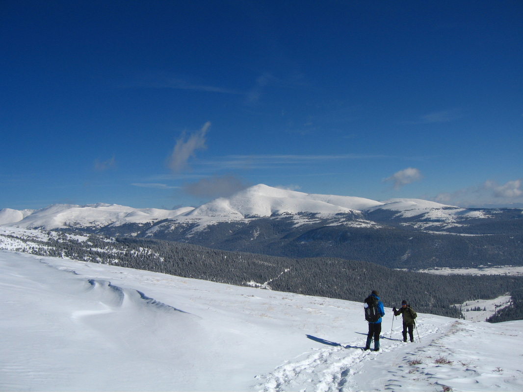
Mount Bross from the south slopes of Loveland Mountain
|
This trip was a real joy. We planned to ascend the easy slopes of Loveland Mountain and traverse over to Buckskin Mountain. Since the road to Kite Lake was closed we were only able to get about halfway up where we parked and began skinning on skis up a 4 wheel drive road around the southeast side of Loveland Mountain to access the very gentle south slopes. Once we got to treeline we realized there wasn't going to be enough snow to make it up to the ridge on skis so we took them off and began hiking the rest of the way plowing through 6-12 inches of fresh snow. Stephan decided to turn around just below 13,000 feet so Scott and I continued in a northerly direction until we crested the ridge where the winds got worse. We fought the brutal wind and got battered with ice crystals the whole way but soon we arrived at a summit that Scott was sure it was Buckskin. He even had a route description and photos and noted the twin peaks we saw. I however was never really convinced since when I looked over to Mount Bross across the valley I didn't think we were high enough. I also noticed a higher peak further north which I thought was Buckskin but Scott seemed to think that was Tweto. I conceded and we turned around. It wasn't until I returned home that night and checked Google Earth that I confirmed we were indeed on Loveland Mountain, which is an unranked sub-peak of Buckskin. I didn't really want to continue in that wind however so I didn't really mind. Plus Stephan was waiting in the cold for us anyways so it was probably good we turned around regardless. Even though we really didn't climb anything it was a beautiful, sunny and crisp day out with great views of the Mosquito Range peaks. Our hike back to the skis went very quick and we actually got some decent skiing in down the slopes back to the 4 wheel drive road. This road however was too low angles to really ski down so it took just as long to get back.
|
Working our way up Loveland Mountain in deep snow with Silverheels in the background
|
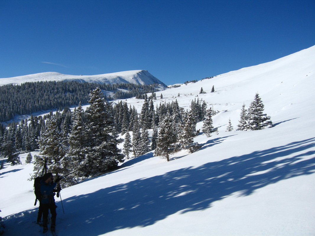
Treeline on Loveland Mountain
|