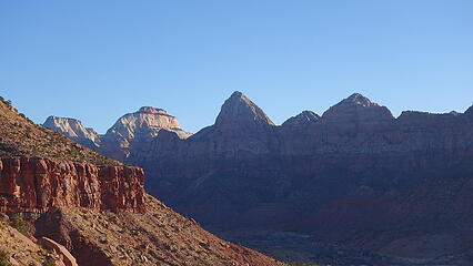
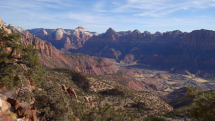
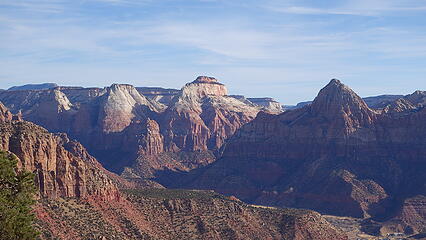
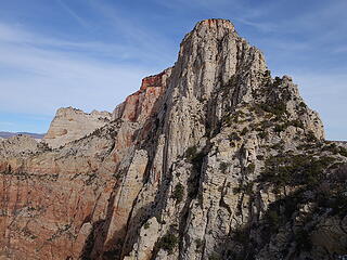
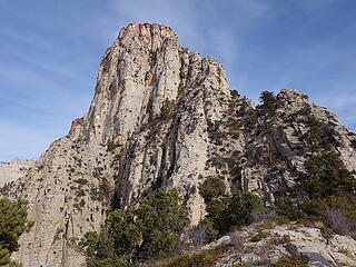
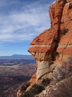
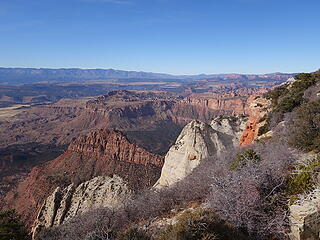
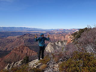
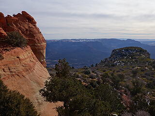
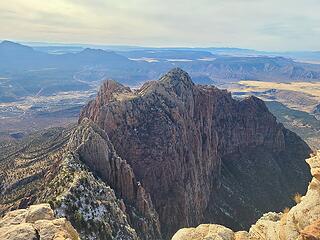
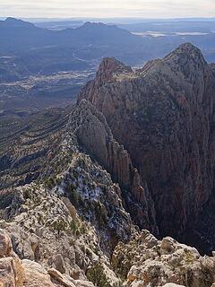
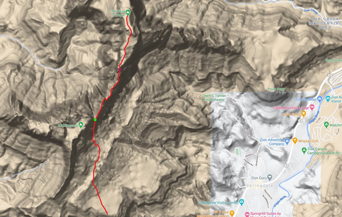
west temple - 7810' - SW ridge class 5.7
december 2020
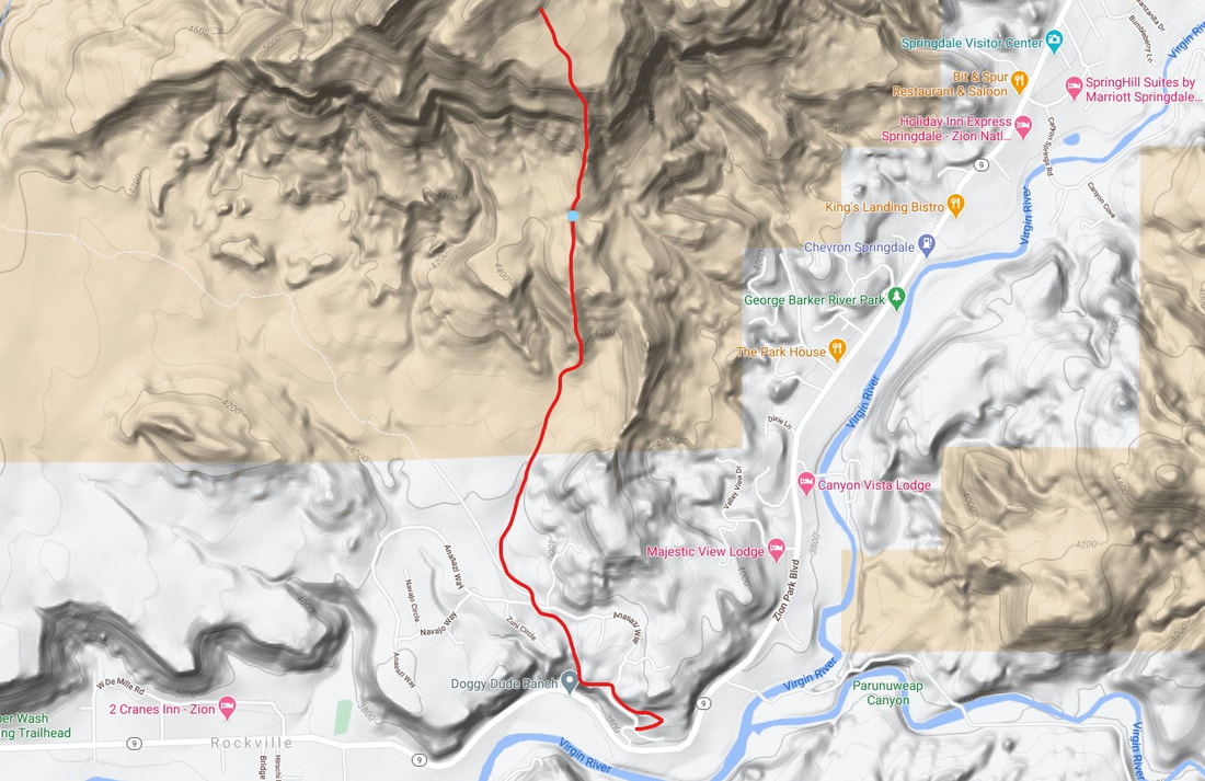
After climbing Aires Butte the previous day, we woke up at 6am the next morning. We wanted to start hiking from the Chinle Trailhead at 7:30am. We were almost successful with this, and started up at 7:50am. The Chinle Trailhead is located basically next to highway 9 a couple miles southwest of Springdale. It is reached by turning north onto Anasazi Way and after going around the first bend in the road, cutting right and down a steep hill to a large parking lot at a lowly 3800 feet elevation. Back in 2013 when I climbed Mount Kinesava with Jacob, I remember we were able to drive a bit further up Anasazi Way and park right where the road crosses the wash utilized to hike north towards the peaks at 3922 feet saving just over a half mile each way, but now that there are new houses in this subdivision (and big expensive houses I might add), the parking area next to Highway 9 must be used these days.
It was a cold morning so we wasted no time getting started, hiking 0.6 miles to where the trail crossed Anasazi Way the second time where the road crosses a wide wash. We hiked under the bridge and left the trail here (which continues off to the northwest on an old double track). We continued up this wash for another 0.5 mile, reaching the barbed wire fence marking the boundary of the national park and crawled under it. It was an easy walk up the wash with many other footprints visible indicating Kinesava and West Temple are quite popular (as there would be no other reason to head up this way). After another 0.67 mile we met the terminus of the ridge that provides access above the lower cliff band. Enough people have been up here by now that there is a nice trail leading all the way up this ridge and beyond. The trail starts by cutting right (east) out of the wash at 4067 feet elevation, and weaving up to the crest of the broad and gentle ridge. Continuing up the ridge, after another half mile (1.8 miles from the trailhead) the trail crosses under a set of power lines at 4470 feet where a small saddle is crossed. These lines I assume connect Springdale to the grid!
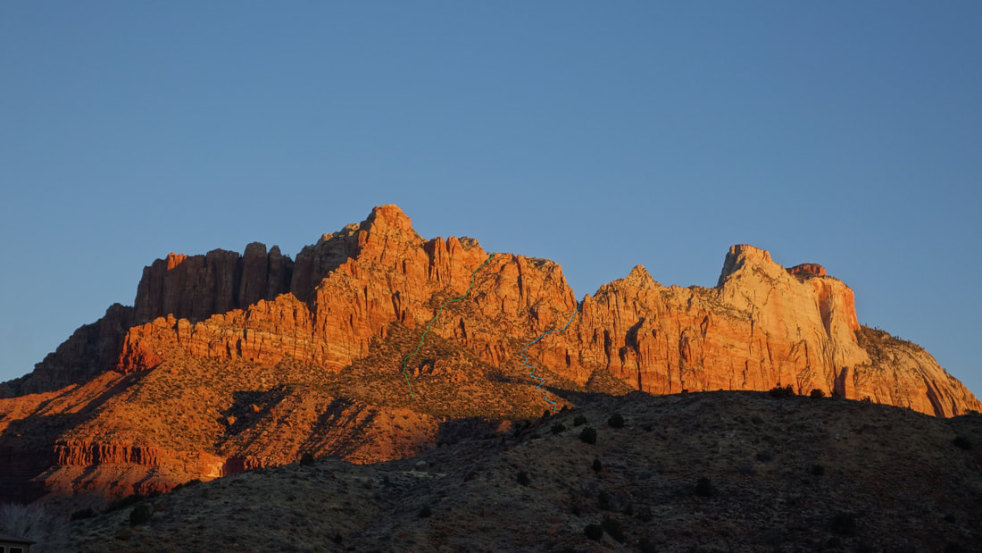
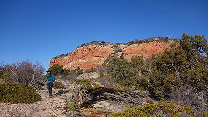
Next a steep and somewhat loose 600 foot hill is ascended to reach the flat plateau above at about 5100 feet. From here, it is possible to follow the trail all the way acorss this flat area towards the northwest, then over a small hill, and switchbacking up the next steep slope towards the ramp leading to the 6600 foot saddle between Kinesava and West Temple. It is very important you take the rightward ascending ramp to reach this saddle, and avoid trying to climb to it from directly below. You also want to avoid taking the other ramp off to the left leading higher up to the summit plateau of Kinesava. In the photo below, the blue line is the correct route to the notch, while the green line is the standard route up Kinesava.
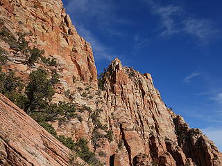
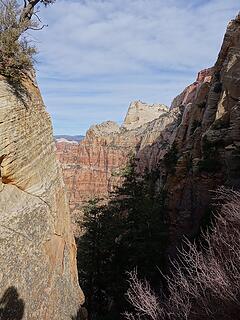
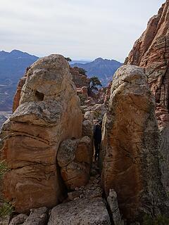
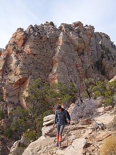
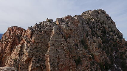
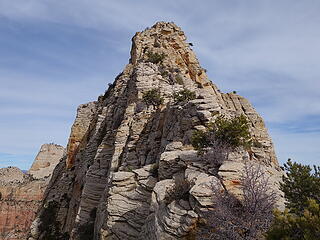
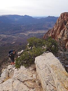
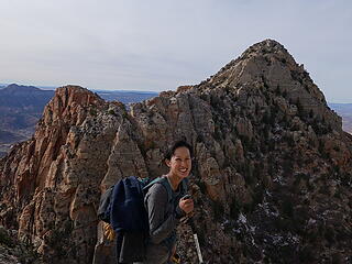
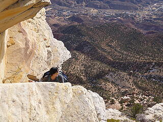
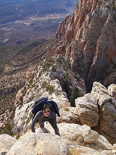
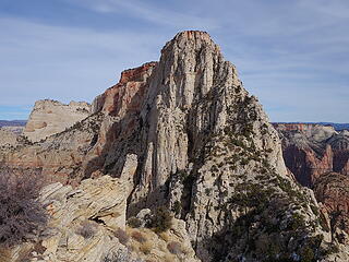
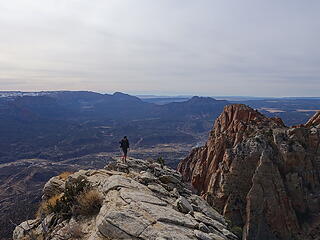
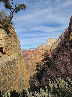
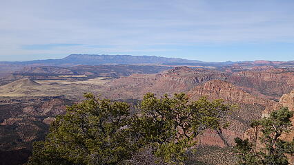
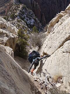
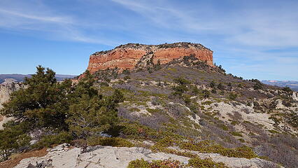
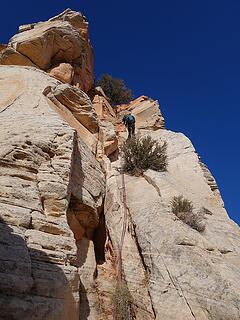
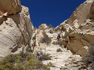
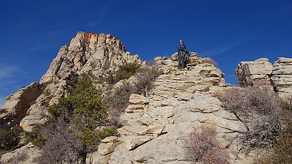
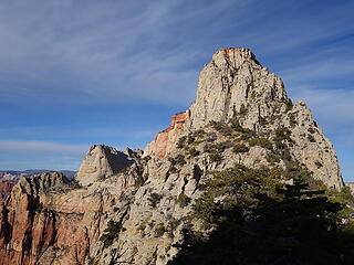
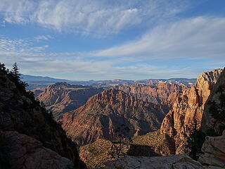
We continued heading more or less towards the ramp, hiking over the small ridge and beginning a steep, sandy ascent, following a bit of a trail and cairns up the ramp and eventually reaching the notch. Here we took a break and realized we had to climb up and over an unranked Peak 7085 on the ridge before the final ridge scramble and climb to the summit plateau. We initially started up to the left of the crest, crossed over to the right and climbed an exposed low 5th class crack for 10 feet or so and reached easier class 2+ terrain with occational 3rd above that led up to the top of the unranked peak. The top of this point was actually a narrow sidewalk of sorts with wild exposure to both sides. A short ways down the north side there was a deep notch that involved a class 4 exposed downclimb, where a tree had to be then climbed down to finish the final 8 feet or so to reach the notch. From there it was easy descending to the next low saddle at 6900 feet. The next stretch of the ridge was the most pleasant and was simple walking on mostly flat ridge with gorgeous views in all directions. As we got closer to the final climb though the terrain got steeper and steeper. I scouted a way we could scramble up class 3 and 4 terrain staying near the ridgecrest the whole way. We bypassed the wide chimney on the right closer to the crest that some people have called mid 5th class and actually climbed. Some loose and exposed class 4 climbing was had followed by a low 5th class section at the very top of the chimney after we traversed left into it near its top. We both agreed we would make the two rappells down the chimney on the way back since it was pretty scary what we had just solod.
Soon enough, we reached the base of the final 50 foot 5.7 pitch to the summit plateau. We roped up and I led the fun pitch involving a flake to climb over, then an inset crack, past three bolts (first one is trash) to the chains. I belayed Elaine up and we pulled the last 5 feet above the chains to the summit plateau with the help of a small tree. From here we dropped all our gear and made the remaining easy flat walk towards the summit dome. The knee high bushes all over the plateau were annoying to walk through but it was quick walking overall. After 15 minutes or so we made the hike up the final 200 feet to the upper summit plateau, which to my dismay was even bushier than below, and I still had to hike to the north end of this plateau to reach the highest point (although the entire thing was so flat you'd never know). The summit register was sitting in the bushes right next to where the final hill ends on the south end of the summit plateau. Upon signing it, I noticed Seano had just been there about a month earlier, and coupled West Temple with Kinesava. I remember Cowboy Ridge on Kinesava from nearly 8 years earlier as a very fun route so I was stoked to see Sean getting out in Zion.
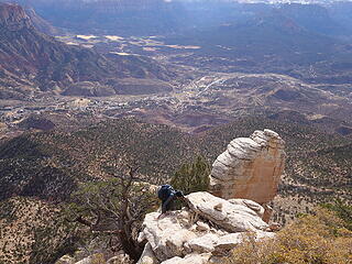
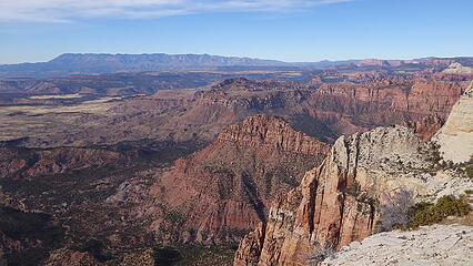
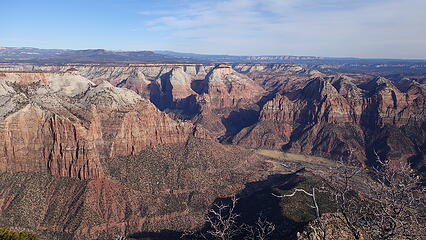
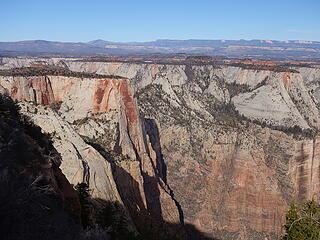
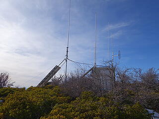
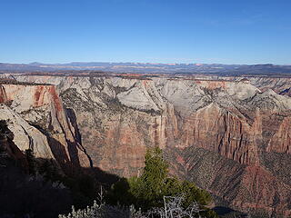
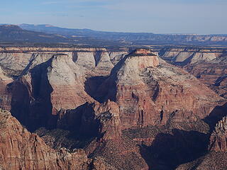
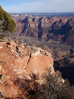
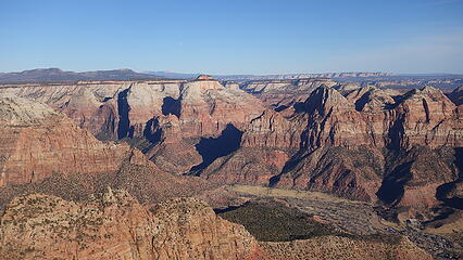
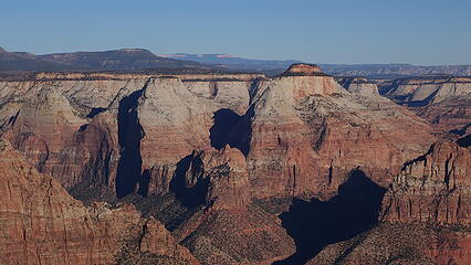
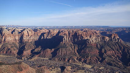
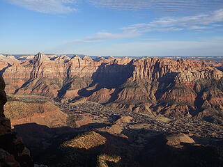
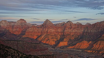
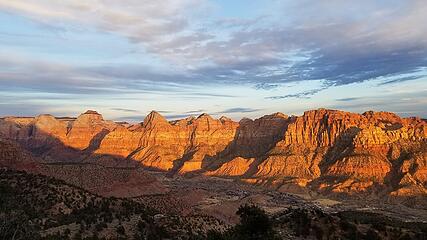
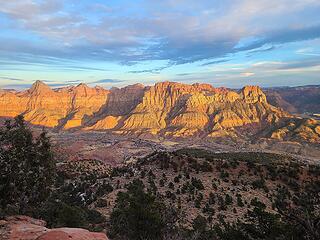
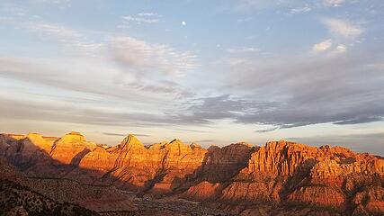
We took a 30 minute break to enjoy the summit. After I walked to the northern end, I bushwhacked back and visited the eastern end where there are radio towers (what?)...yes helicopter access radio towers on the top of this peak! The view down into the Zion valley from this side was incredible though, with gigantic cliffs dropping off below. Knowing we had a long descent ahead of us, and with it being already 2:30pm we started back. Upon reaching the chains at the top of the final pitch we made a short 20 meter rappel, then another two single rope rappells off bomber webbing anchors tied around big trees down the chimney. After that we retraced our steps down the ridge, with a couple tricky downclimbs to get off Point 7085 back to the notch but nothing requiring a rope for us. I wanted to ensure we were at least onto the flat 5100 foot area before it got dark and we nailed that perfectly. The sunset ended up being fantastic also! Only the last ridge down back to the powerlines and the hike back the initial wash to the Chinle Trail did we have to do in the dark, and at about 7:15pm we were back at the car. Another well earned dinner was had and back to Hirricane we went for the night.
The next day since there was supposed to be a snowstorm in the afternoon, I left Hurricane at 9am for the 9 hour drive back to Denver, making it back home just before snow started to fly. All in all an excellent trip and a well overdue trip back to Zion in the books.
