castle peak - 8343' - west slopes class 2
october 2023
Quick Stats:
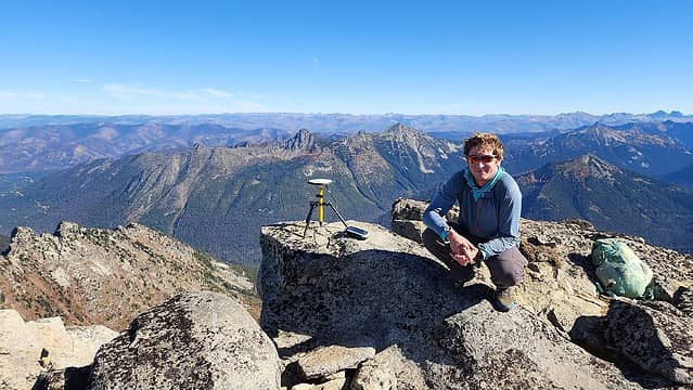
Surveyed elevation of Castle Peak - 8343.4 feet +/- 0.2 feet.This puts it firmly on the highest 100 list.
39 miles walking and 24 miles boating
~8500 feet elevation gain
27.5 hours total (about 4.5 of which was spent actually on the water)
Eric sent a callout looking for anyone interested in assisting with a trip up Castle Peak to survey the summit with his differential GPS. Castle has been hard to get to in recent years due to the floods that took out the Skagit River Road in BC, and the Monument trail close to the Manning Provincial Park also covered in thousands of downed trees making that old ATV road approach no longer a quick option. The water taxi service at Ross Lake Resort has also been filling up months in advance as a result, and anyone who knows me knows I cannot plan that far in advance.
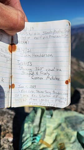
Therefore, I jumped on the chance to get a chance to finally make it up Castle for my final top 100 peak on the traditional P400 list (took almost 5 years after finishing the Bulgers to get this one done!). All I had to do was carry nearly 100 pounds of boating gear from Highway 20 to the dock on the lake on the 0.6 mile trail, and then back up at the end...seemed well worth it to me. I booked a flight from Bozeman to Seattle Friday afternoon and Eric picked me up at Northgate (thanks light rail) and we drove out to the trailhead where Mike arrived just a few minutes after we did. Went to sleep early in the truck after getting everything loaded onto packs and ready to go. Beta for this route was provided by Josh Lewis (he has a GPX track on Peakbagger) and Eric Eames. Seems that few people climb it this way, opting for more Canadian approaches.
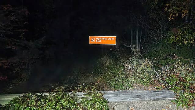
At midnight Saturday morning Eric, Mike and myself started down with Eric's boat and our day hiking gear loaded up onto packs and a large duffel bag. All 3 of us each had about 90 pounds to carry (the boat itself being one load, the motor and propane tank the second, and the duffel with all the accessories, wheels, paddles, motorcycle lights with battery bank, and the GPS receiver in Pelican Case being the third). Hiking everything down to the access road went smoothly, then Eric inflated the boat and deployed the wheels where it was an easy roll to the dock the rest of the way. The boat was small but fit the three of us and all the gear pretty well. After 2 hours at a nice 5.5 mph pace we made it to the Lightning Creek Trailhead. Navigating through the fog at night on the lake was eerie. The ducks and fish always caught our eyes. Thankfully the water was very calm with no wind and comfortable temps. It was actually a peaceful ride knowing no one else would be on the water.
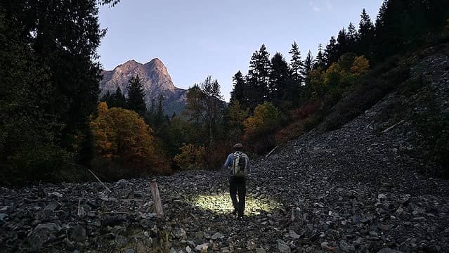
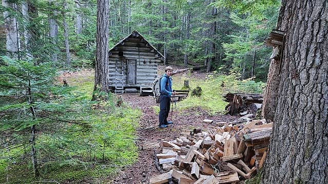
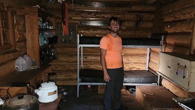
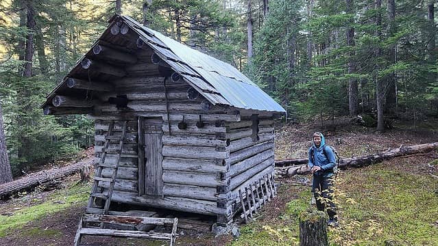
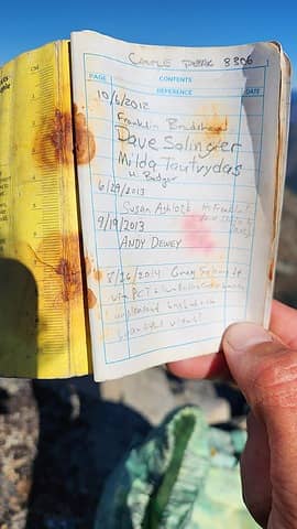
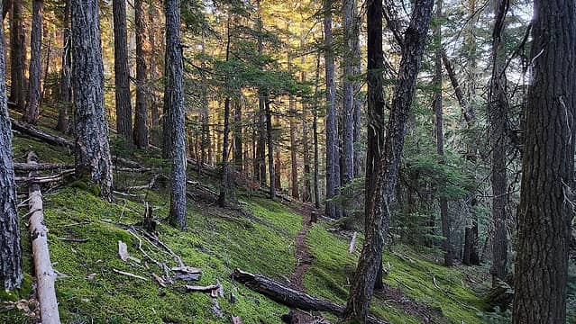
Shortly before 4am we started hiking the Lightning Creek Trail from the lakeshore at 1500 feet elevation and made it to the abandoned Freezeout Creek Trail a little after 6am. At this point twilight began and we took a short break at the damaged bridge right before the Nightmare Camp. An old signpost right before the bridge indicates where the Freezeout Trail begins, but an area of steep and poor rock with alders have eliminated the first few hundred meters of the trail. Orange flagging tape was followed ascending diagonally until reaching forest where we picked up the trail. It was in decent shape all the way to the Freezeout Cabin, elevation 3600 feet and located right after a creek crossing. We took another quick rest here and explored the inside of the cabin. Clearly someone is maintaining it as it was fully stocked with bunks, a wood stove, blankets and even some spare food. The logbook inside said we were only the 2nd group to pass by the cabin in 2023. A short history described a lot about the cabin and was an interesting read.
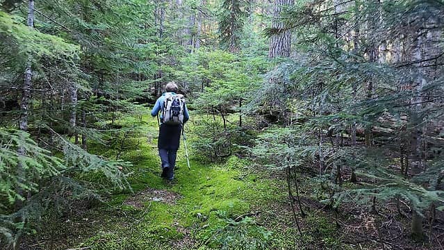
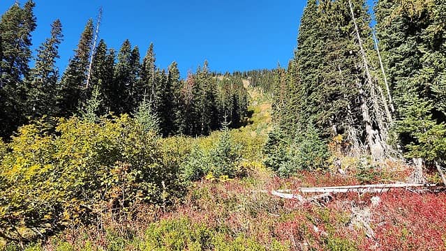
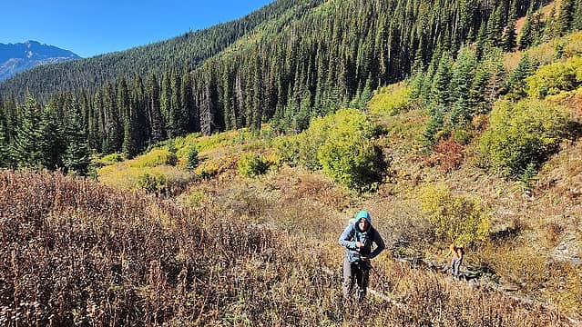
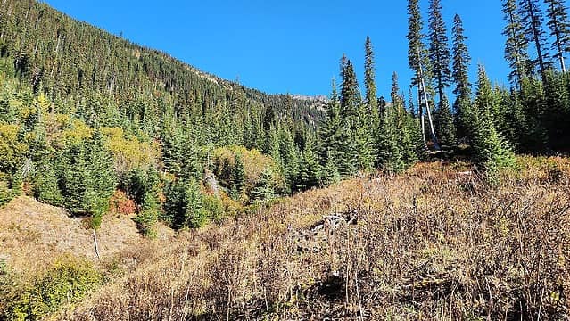
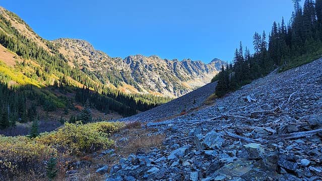
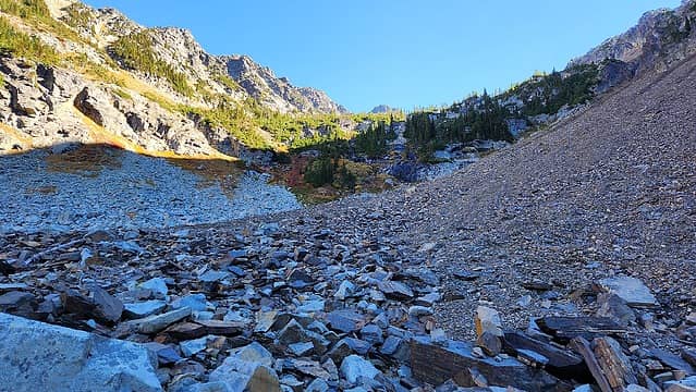
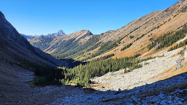
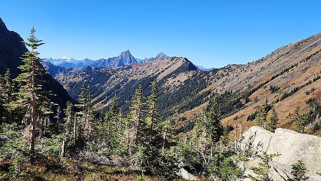
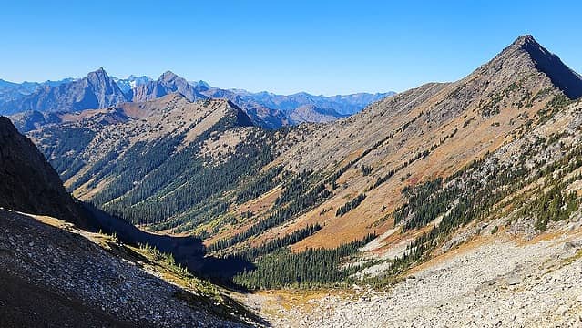
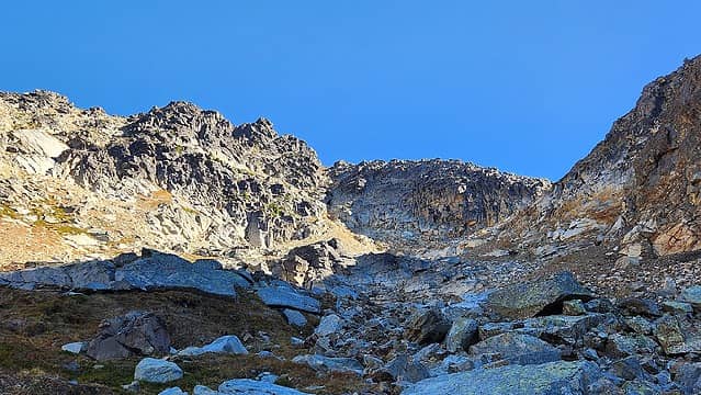
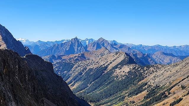
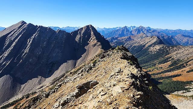
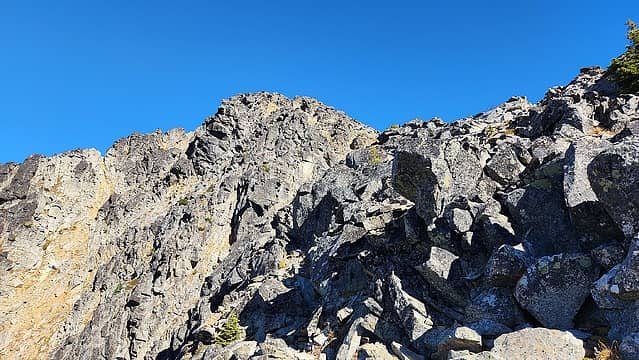
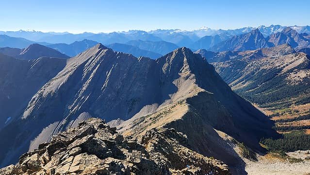
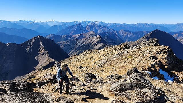
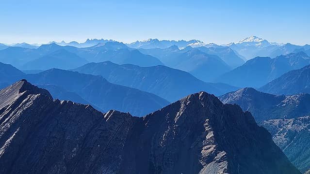
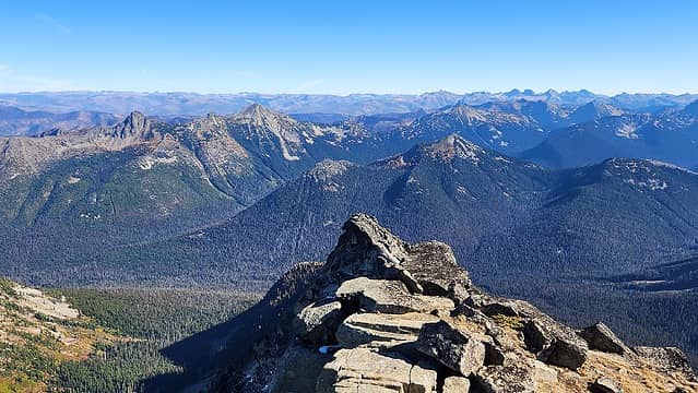
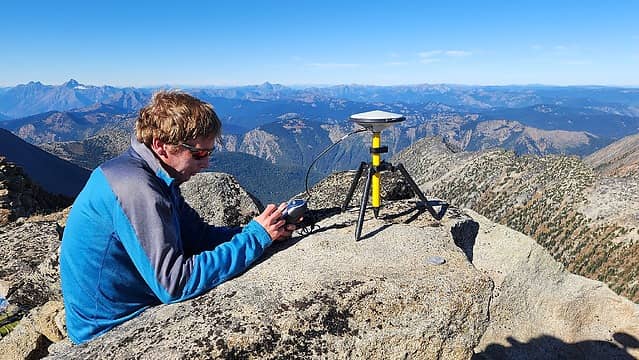
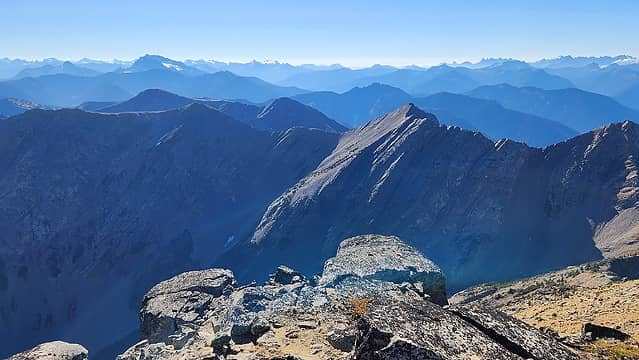
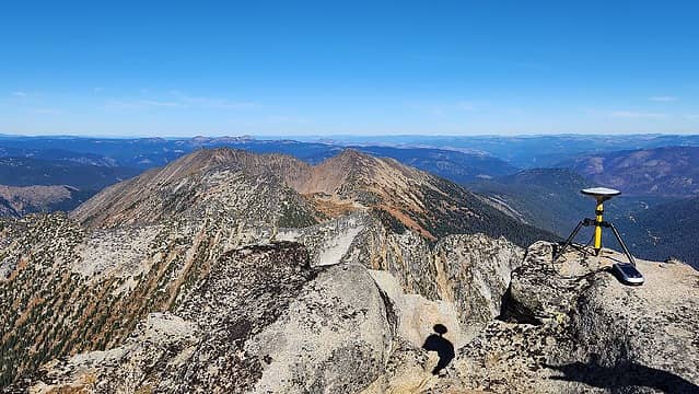
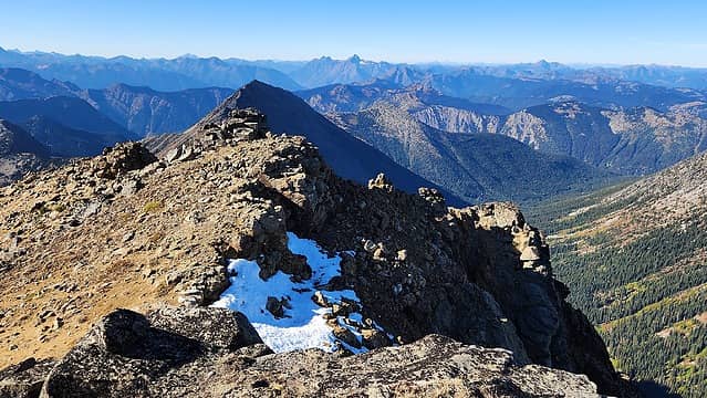
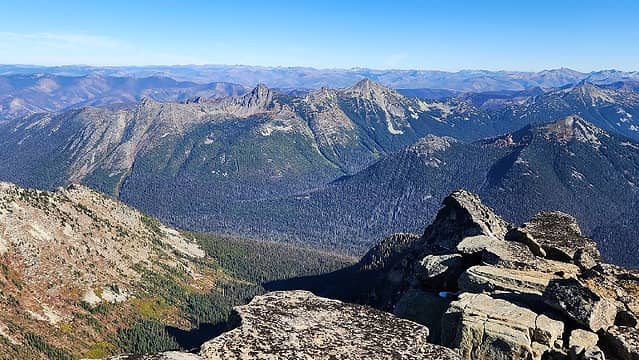
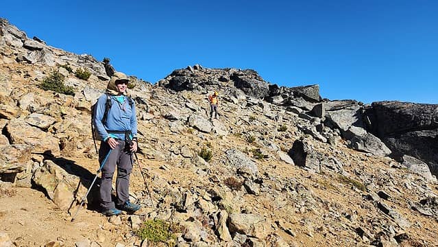
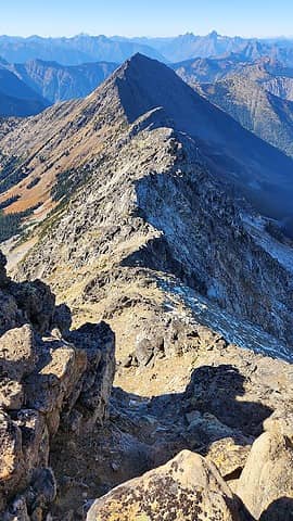
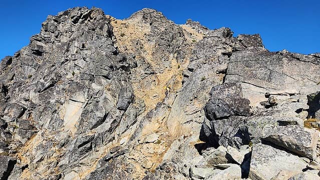
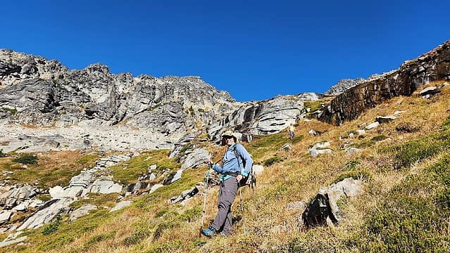
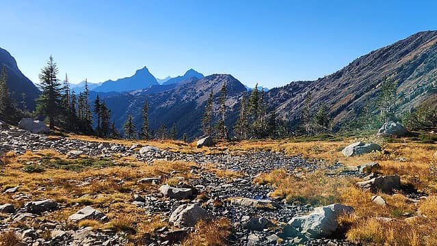
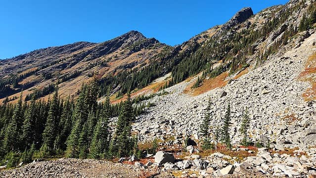
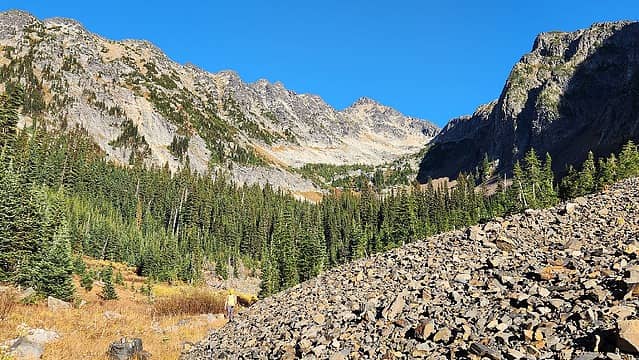
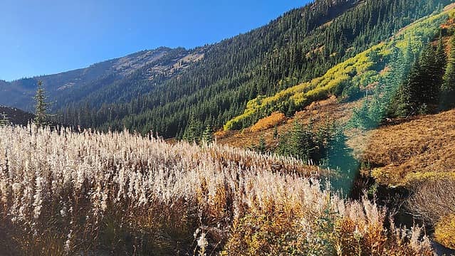
Knowing it was still a long way, we continued up the trail which was still in good shape, and we passed another creek crossing a quarter mile or so past the hut where a small but fresh burn area was crossed. The trail started to become difficult to follow at about 4200 feet where it makes a turn to the north and crosses Freezeout Creek where a side creek drains into it from the east. The 800 feet of gain between 4200 and 5000 feet was done without really trying to continue following the trail, as it was mostly gone in this section, but the bushwhacking was fairly minimal, with the most difficult part being climbing over numerous blowdowns. Following the west side of Freezeout Creek 50-100 feet above the creek in this section provides the most open terrain through the forest. As the valley turned right back to the east, we crossed back to the south/east side of Freezeout Creek at 5000 feet elevation. The terrain was mostly open following the south side and above all the alder bushes where they meet against the north facing talus slopes above. The last large grove of shorter trees in the 5700-6000 foot range we past around the south side of and ascended the talus which led to the open terrain above where we ascended a mix of steep red heather, talus and scree to a notch in the SW ridge at 7600 feet. The foliage was very colorful. The remaining scramble was class 3 for short sections but mostly class 2 on the final 750 feet to the summit which we reached at 1:30pm. Views of South Hozomeen, the Pickets and Baker stole the show, but many peaks in all directions were visible. Eric setup the GPS antenna on the highest rock and began the measurment, which would continually communicate with various GPS satellites for 1 hour and collect raw position data which he processed upon returning to Seattle.
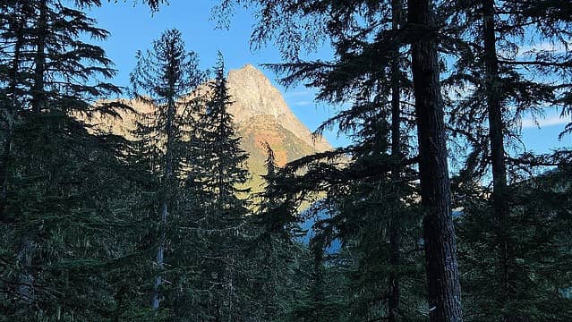
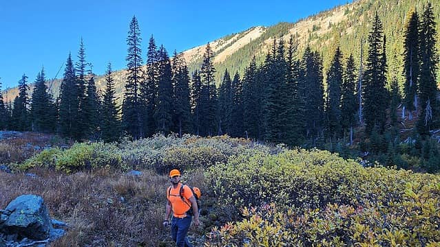
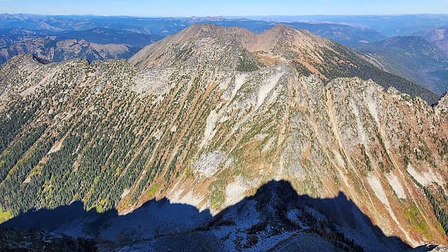
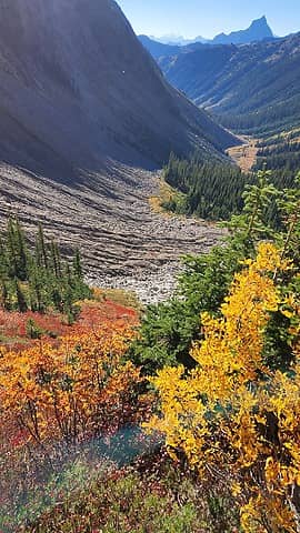
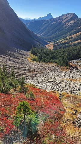
At about 2:45pm we started down and the afternoon early fall sun made for some cool foliage photos before we dipped back into the trees. We really didn't stop much until we got back to the boat on Ross Lake; just a few 5 minute snack breaks. It was a grueling push, and it got dark on us about a mile past the hut. We reached the boat sometime around 11:30pm and shortly after midnight we were making our way back down the lake. Got back to the dock a bit after 2am, then we pulled the boat up the road, packed it all up and slogged up the 0.6 miles carrying nearly 100 pounds to end the effort. That was probably the hardest 400 feet of elevation gain I've ever done that was not above 6000 meters. We finally made it to the car at 3:30am where we decided to take a 2 hour nap. Unfortunately that was all we had time for as I had to get back to the airport to fly right back to Bozeman on Sunday.
Thanks Eric and Mike for the fun outing. I am grateful for the opportunity to finally get this one done! See Eric's trip report here.
