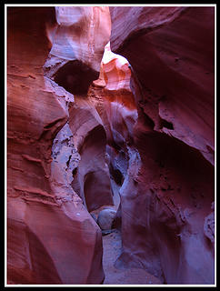
Dry fork slots & coyote gulch
march 2010
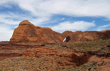
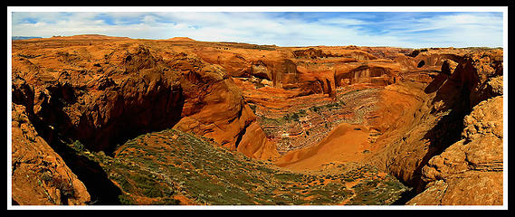
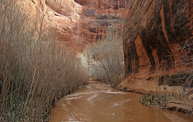
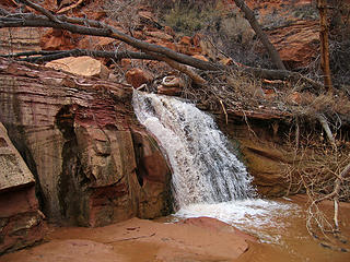
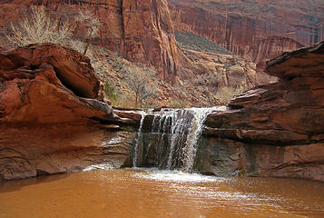
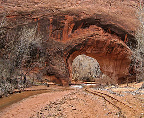
As part of Josh and I's 2010 spring break we went south along the Hole in the Rock road into the Escalante National Monument and hiked Spooky Gulch and Peak-a-Boo Gulch, then early the next morning we parked at the fortymile wash trailhead, and hiked cross country to the crack, that provides easy access to the huge sand slope leading to the bottom of Coyote Gulch, near where it dumps into the Escalante River. Stevens arch towers above across Coyote Gulch and is a giant arch cutting right through the wall making up one of the hairpin bends in the Escalante River. Once we reached Coyote Gulch, we were surprised to see it had flowing water! So rather than fight with so many water crossings with our shoes, we simply removed out footwear, and hiked west, upstream in the ankle deep waterflow. The water was also quite warm amazingly, and for 6 pleasant miles in the valley bottom we hiked up the stream until we came across Jacob Hamblin Arch, a stunning landscape type arch extending from the cliffs above all the down to the waters edge.
Here at the arch, we had a nice late lunch, and spotted the class 3 escape scramble southward back to the open desert above. The slickrock scrambling was really fun, as this was some of the first I had done on the Navajo Sandstone. The sun was getting low in the sky as we reached the top, and had an easy 2ish mile walk following a SE bearing to the car. The sun was setting just as we arrived and I captured a beautiful photo of the scene. This was really a great desert hike that I highly recommend, just make sure to have a map and maybe even a GPS, as it's easy to follow the wrong bearing in the open desert en-route to Coyote Gulch especially at night.
Here at the arch, we had a nice late lunch, and spotted the class 3 escape scramble southward back to the open desert above. The slickrock scrambling was really fun, as this was some of the first I had done on the Navajo Sandstone. The sun was getting low in the sky as we reached the top, and had an easy 2ish mile walk following a SE bearing to the car. The sun was setting just as we arrived and I captured a beautiful photo of the scene. This was really a great desert hike that I highly recommend, just make sure to have a map and maybe even a GPS, as it's easy to follow the wrong bearing in the open desert en-route to Coyote Gulch especially at night.
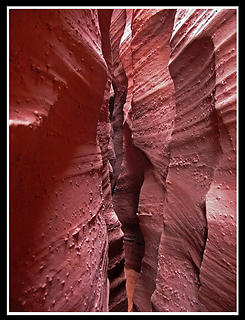
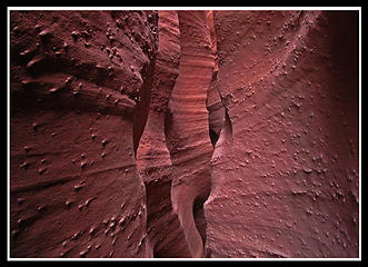
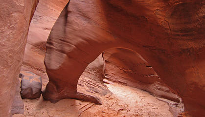
Dry Fork slots (Spooky Gulch and Peak a boo slots)
Map of the routes to Coyote Gulch
Our route had us go into the canyon via the light green route, up Coyote Gulch via the blue line, then back via the purple route for a nice loop.
Proudly powered by Weebly
