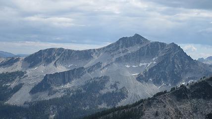
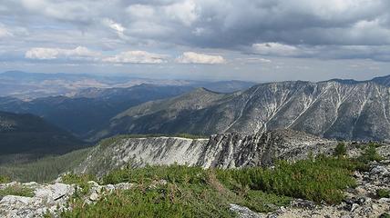
Oval Peak - 8795' - east ridge class 2
July 2015
This is the first installment of a 4 part trip report I will be writing throughout the rest of this afternoon. My friend John Peterson met up with Josh and I along Highway 20 on the night of July 22nd (he came over from Montana) and we didn't end up planning for the first few days of the trip until the next morning as we were all so tired. I probably should mention that this trip was created because we had to bail on our trip to Mount Waddington due to poor weather in the BC coast range, so our backup plan was spending lots of time in the North Cascades...not bad if you ask me!
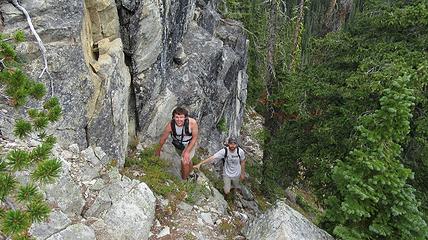
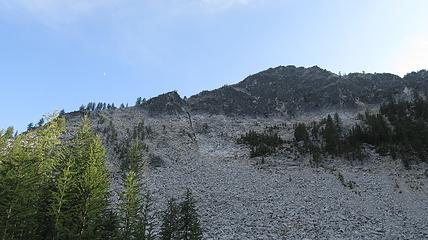
Since the weather wasn't going to be perfect for a few days (same storm that was dumping 2 feet of snow on Waddington), we decided to wait off on anything west of the Cascade Crest and we drove out to the West Buttermilk Creek Trailhead to hike up Oval Peak, since I hadn't yet done it. We got a casual noon start and headed up the nice trail for a few miles at which point we decided to head straight up the east slopes. We were the only ones on the trail and it was quite peaceful under a slight layer of thin clouds. Bushwhacking up the steep slopes above the trail proved to be somewhat challenging due to the deep duff and copious amounts of blowdown, but at around 6,400 feet we reached a large flat bench offering some disorientation, and marshlands but we eventually got to the long east ridge of Oval Peak and continued up to treeline at about 7,500 feet.
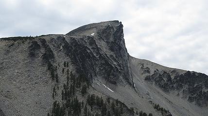
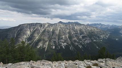
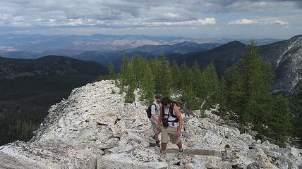
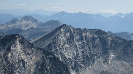
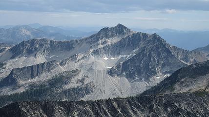
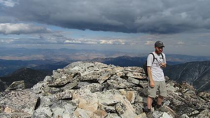
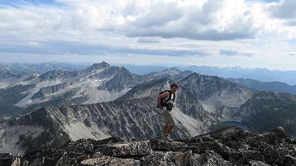
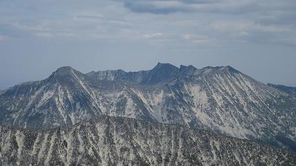
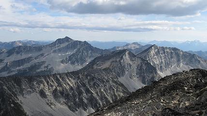
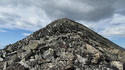
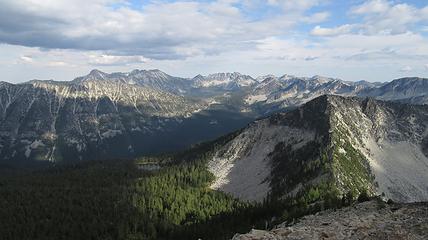
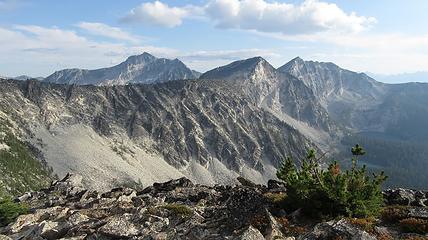
Continuing up the now narrow ridge it was a fairly easy hike, with the steep north face dropping vertically down on our right. Upon reaching the summit we were able to relax at the top enjoying views of most of the Chelan Sawtooth Peaks including Star, Hoodoo, Raven Ridge and Courtney. Glacier Peak and the surrounding wilderness was visible to the west, and what appeared to be a small fire loomed near Holden.
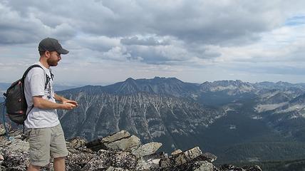
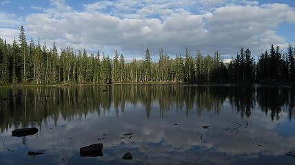
Josh was contemplating making a run over to both Courtney and Star Peaks but it was already getting late, however he went anyway. John and I ate some lunch on the summit and I pointed out the surrounding Peaks while Josh took off. About 20 minutes later, we started down the south ridge and saw Josh resting at the saddle. He decided against it and we all began descending together towards a couple small ponds at around the 7,000 foot level in the trees.
The rest of the descent down the southeast slopes was bushy and steep but we made it back to the trail and had an uneventful hike out. We then went back to Winthrop where we had large burritos and proceeded to drive to the Wolf Creek Trailhead where we would crash for the night.
