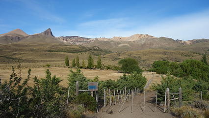
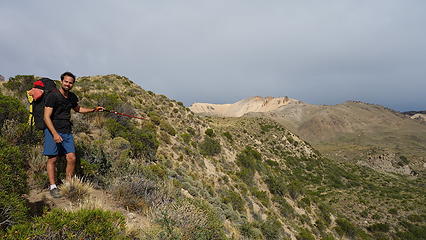
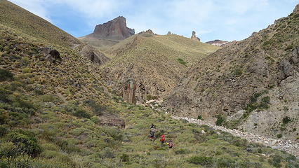
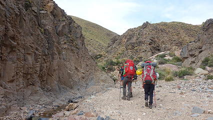
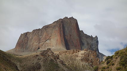
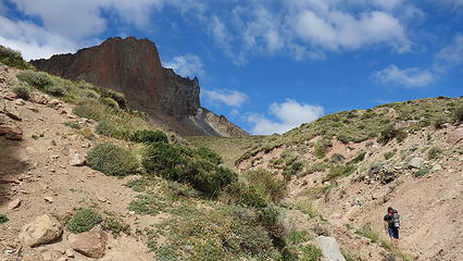
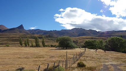
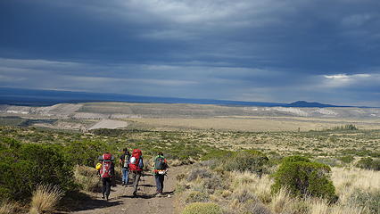
Quick trip report about Cerro Colorado, a relatively new climbing area near Chile Chico in central Patagonia. After our adventure to Cerro Palo and Puntado, we wanted to check out this local crag, so we joined up with a nice french couple and organized a ride from town east back towards the Argentina border about a mile, then south on road X-753 towards the Chile Chico airstrip. Just past the airstrip, we took a right turn on an unmarked private road right before a small perennial stream that led to a small grassy farm, at which point our driver dropped us off and we began walking. We passed through the farm and followed the road as it slowly petered out. The road finally ended at an irrigation pipe that takes some of the creek water towards the farm. From this point, we mostly followed the creek bed, only occasionally leaving it. Inside the creek bed was mostly easy going apart from a couple narrow spots with pools of water. Leaving the creek bed forced you to walk through grasses and desert shrubs which were sometimes thorny.
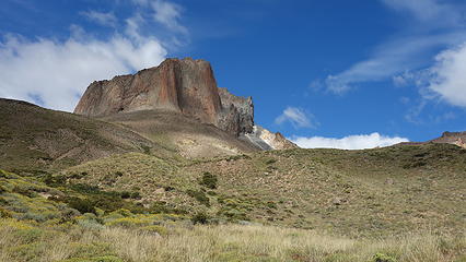
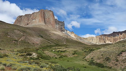
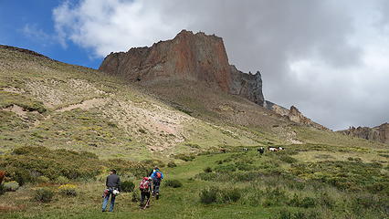
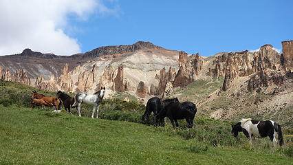
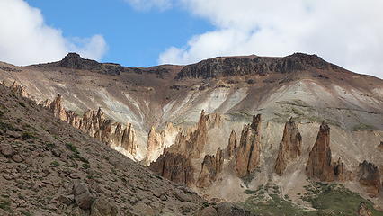
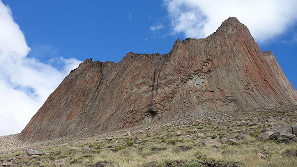
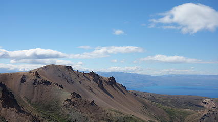
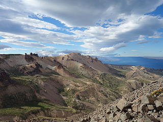
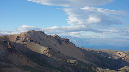
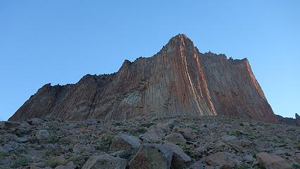
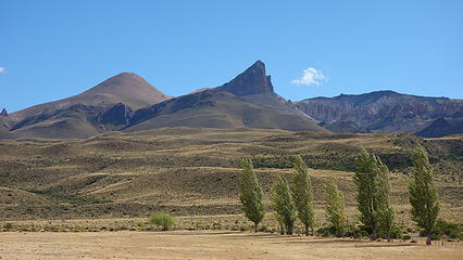
We continued onward, as the stream meandered deeper into more volcanic terrain with an interesting landscape. Our beta mentioned a beautiful grassy meadow that makes for an excellent camp at 1135 meters elevation, just 400 meters directly below the north face of Cerro Colorado (where much of the rock climbing is located). The approach to this meadow, which is often inhabited by horses, sheep and even guanacos (rare to see) rises 800 meters from the X-753 road in about 8 kilometers and takes a few hours for the average party carrying climbing gear.
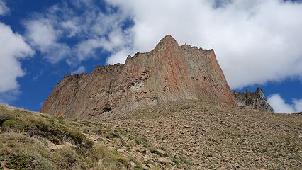
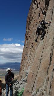
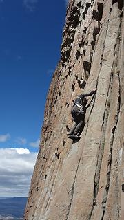
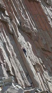
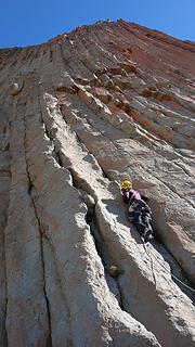
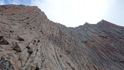
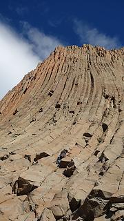
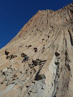
We spent the next day trying out some of the thin cracks on the walls. This climbing area is basalt columns, similar to that of Vantage or Trout Creek, but much less traveled, and rockfall is a serious concern in the early days of this crag. Most of the cracks are thin and runout, which limited what I was comfortable lead climbing. Also, locating each route you read abut in the online beta sources is very hard. There apparently used to be rocks with written labels on them at the base of many of the popular routes but when I was there none of these helpful rocks were to be found, so we just tried routes that looked doable and where we could see anchor bolts. Shown below is a photo gallery of the area. Definitely worth a visit if you're passing through!
Note that in the map above that lake doesn't exist!
