the sphinx - 10,876' - west gully class 3
may 2015
Overview
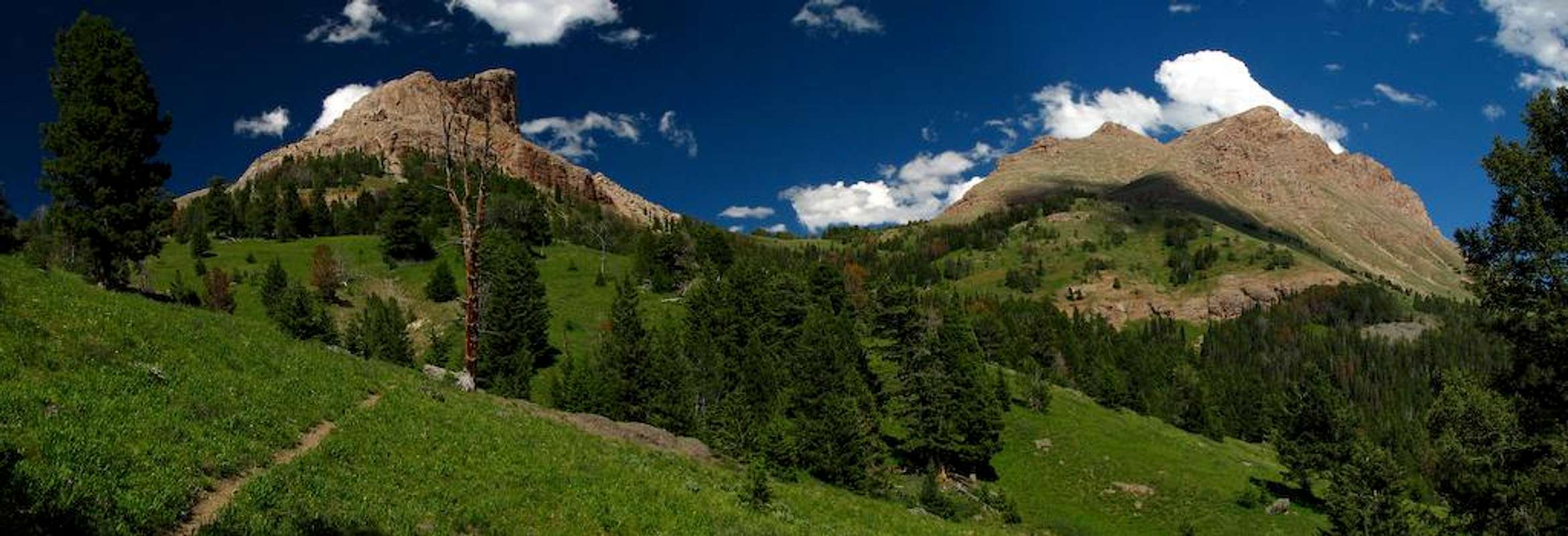
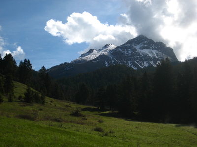
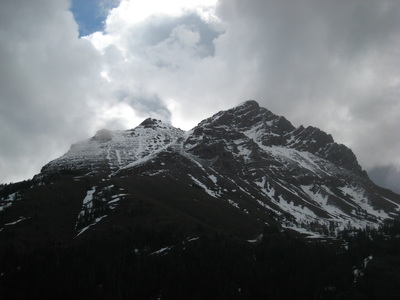
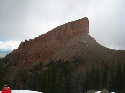
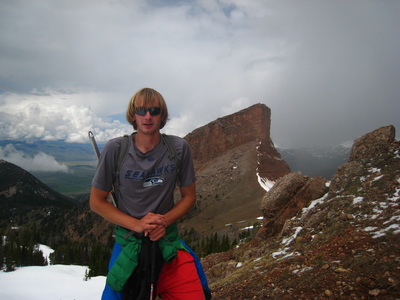
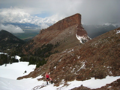
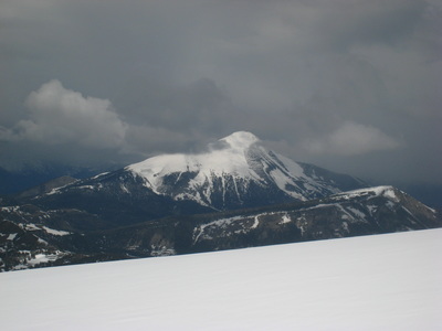
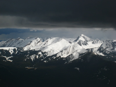
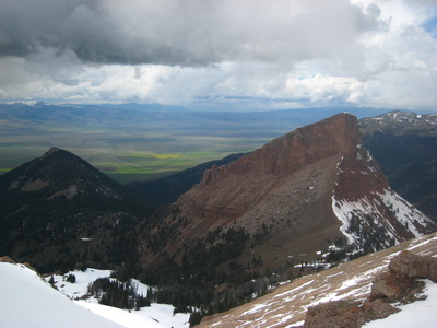
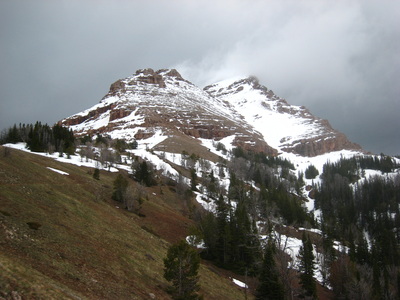
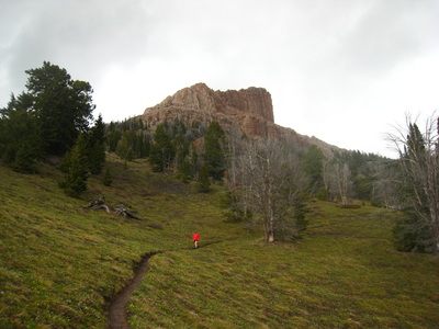
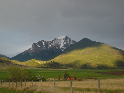
The Sphinx (and the Helmet) are impressive geologic formations just east of the Madison Valley in Southwest Montana. One of the more striking mountains in this region, the Sphinx offers a fun and not very technical gully route up the west face. The gully is probably the only feasible route as the other three sides of the mountain offer large cliff faces of very unstable rock.
Getting There
Drive south of Ennis on U.S. Highway 287 for 11.1 miles. Turn left and head east on Bear Creek Road (Forest Road 327) at Cameron. Bear Creek Road heads east on pavement for 3 miles, then turns south on a good gravel road for 1.5 miles until it turns east and goes another mile to the Bear Creek Ranch. Turn south here again and travel less than a mile to a junction. Turn left and head east up Bear Creek to the Bear Creek Ranger Station. It is 8 miles from the highway to Bear Creek Campground and Trailhead.
Standard Route - West Face Class 3
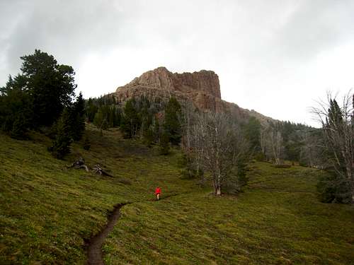
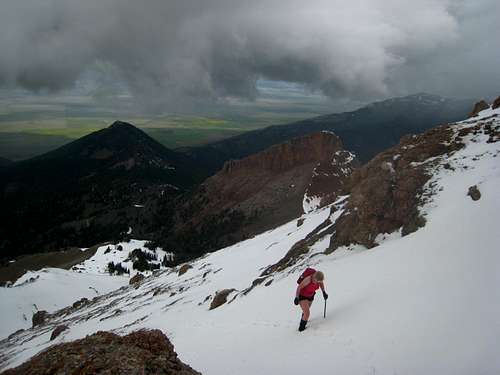
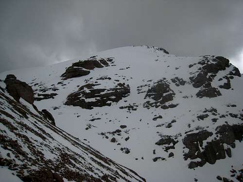
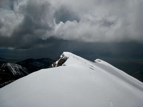
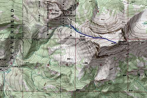
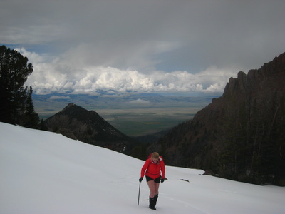
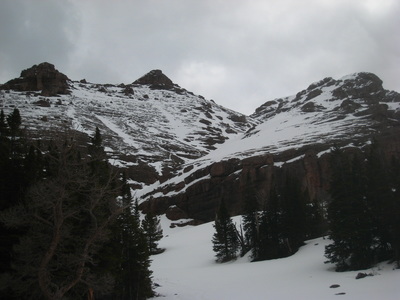
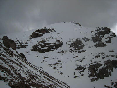
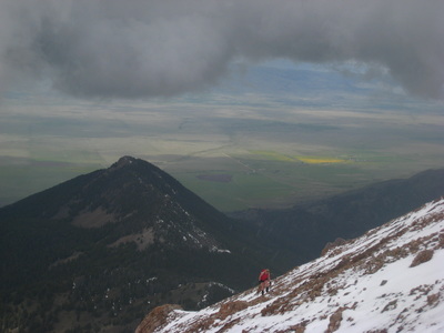
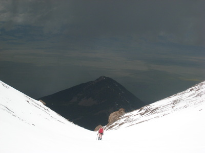
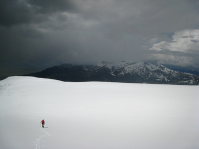
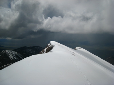
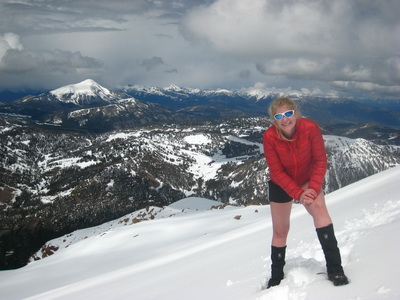
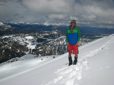
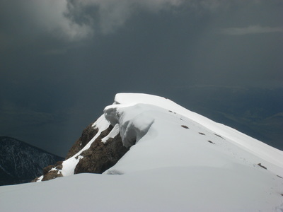
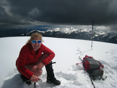
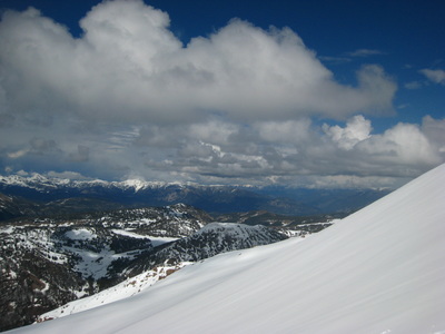
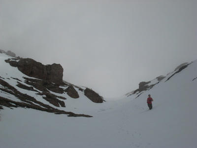
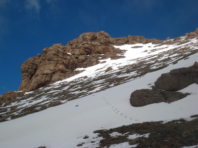
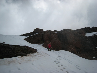
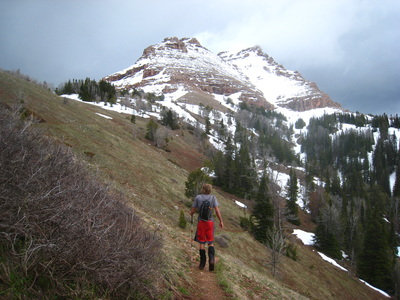
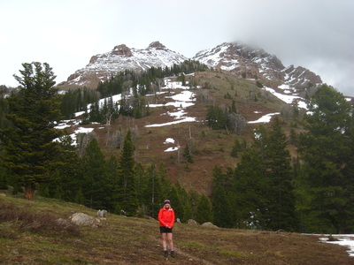
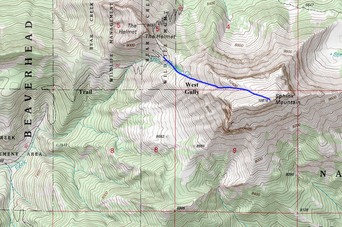
From the trailhead Trail 326 enters the Lee Metcalf Wilderness just beyond the Bear Creek Ranger Station and follows the Trail Fork of Bear Creek northeast for about 2 miles before it joins Trail 325. Stay left for about 3 miles on Trail 325 to just before the 9,025 foot saddle between the Helmet and the Sphinx. From the final switchback before reaching the saddle, stay right and aim for the broad obvious gully in the Sphinx. There is a bit of a climber's trail leading in that direction. Getting into the gully involves a short 25 foot scramble, or steep snow with moats below in early season. This is the crux of the route and goes at about Class 2+ when dry. If there is snow in the gully it makes for a great easy snow climb but if it's dry it's best to avoid it. We were able to stay on the north side of the gully the entire way and numerous goat paths make the hike easier. When the slope begins to mellow out at about 10,400 feet, you'll notice a large snow or scree slope heading up to the south just past the last cliffs guarding the lower west face to the south of the gully. Locate the obvious summit ridge and ascend the slope to the northeast end of the ridge, which is the true summit and marked by a cairn. Beware of the 2000 ft. drop into the Indian Creek drainage. The round trip didtance is about 13 miles with a total elevation gain from the car being about 4,600 ft.
|
|
|
|
When To Climb
July through September seems to be the most popular time to climb, although stable snow conditions could lead to a nice ski descent at other times of the year. During peak snow melt, you will need to stay just out of the gully to avoid a rather large cascading waterfall at the bottom. To bypass this, instead of scrambling the 25 foot section to enter the gully, go off to the left (north) and scramble some Class 3 dry rock about 150 yards north of the gully. Once above the series of cliffs, traverse back south towards the gully and continue the ascent on its north side.
Map
Camping/Red Tape
If you're camping, pick one of several good sites along the Middle Fork or Trail Fork of Bear creek or try camping at the saddle between the Helmet and the Sphinx (no water here and only 1 or 2 small tent sites). There are no camping fees or restrictions. Also, no permits are required. Be aware that grizzlies and moose are common in this area. Take the necessary precautions.
