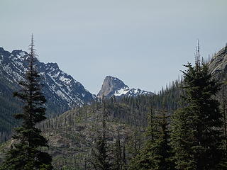
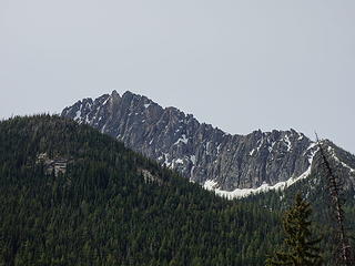
Azurite Peak - 8400' - south route class 3
June 2018
NWH user "neek" (Nicolas) and I met up in Everett in the afternoon Monday for an attempt on both Azurite and Ballard in what we originally planned for a two day excursion. Although this isn't exactly what we ended up doing we still had a great day out on a fun scramble for my 84th Bulger Peak, despite all the clouds.
We drove all the way out to the Methow River Trailhead shortly passed the Ballard Campground, which to our surprise we saw quite a few campers for a Monday night in early June. We relaxed with a couple beers, and turned in early with the alarm set for 4:45am. I enjoyed yet another great night sleep in my van 
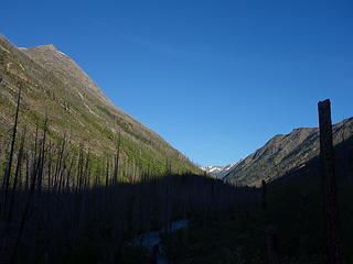
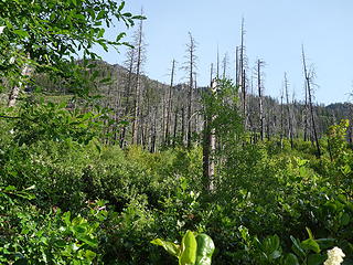
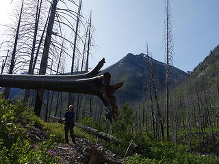
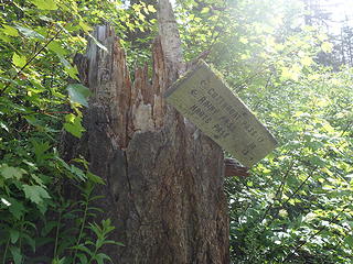
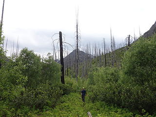
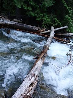
We left with bikes at 5:30am to perfectly clear skies, and started biking up the Methow River trail. However there is a bridge washout just 2.5 miles from the trailhead. The bridge over Trout Creek is gone. Despite the ranger sign at the trailhead stating the creek is impassible, we were able to either wade across (knee deep) or shimmy across on a log we spotted. We both made it across unscathed, however we had to leave the bikes as we couldn't take them across. Good thing though, as the next 5 miles of the trail is shitfucked.... impossible to bike, and horrible to walk on. The trail is totally overgrown with alders requiring constant schwacking, and many leg/arm scratches. Also it was difficult, sometimes very difficult to follow the trail; complete with dozens of large blowdowns. We went into this expecting to be able to bike all the way to the PCT, however this trail will probably never be biked again, and likely won't see many hikers either. Seems the Okanogan FS is unfortunately is letting it go, which is a real shame because it was such a major trail. Needless to say it took us 4.5 hours to go from the trailhead to intersect the PCT at Brush Creek.
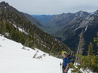
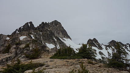
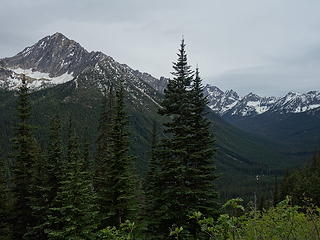
Once here, we continued an additional 2 miles west on the flat PCT. This trail was downright luxurious in comparison! Eventually we made it to the small Azurite Pass Trail, which veered off to the right (north) at the west end of a large alder field, thankfully avoiding said alders. Amazingly, this small trail was easy to follow, and switchbacked nicely all the way until we hit continuous snow at roughly 6400 feet elevation. Once we hit the snow, it was easy to boot up to the 6750 foot Azurite Pass, then continue up to 7400 feet on the south ridge of Azurite. It was at this time the snow ended, and we took a long break on the broad ridge. Clouds completely obscured the sun at this point, and we discussed what we would do.
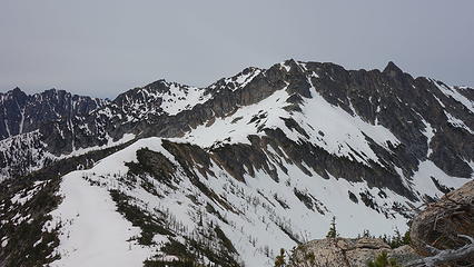
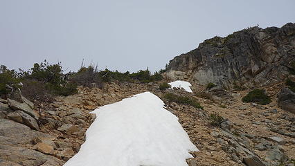
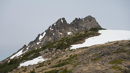
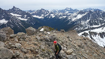
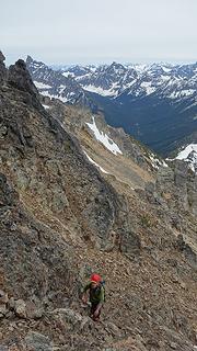
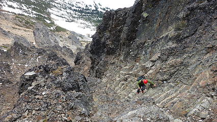
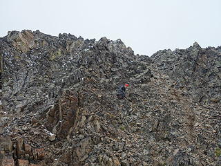
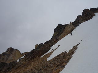
We decided to bail on the plans to traverse over to Ballard as it appeared the crummy weather was moving in faster than forecasted, so we ditched our overnight gear on the flat 7400 foot shoulder on the south ridge and continued with light day packs towards Azurite. The first part had us head up a loose gully, then leave the ridge and traverse left, across the west face of Azurite below cliffs and gullies almost until we hit the prominent west rib. Most of this traverse was dry, sans 2-3 short snow runnels that we easily traversed across with ice axe (but no pons). Once we were at the base of a large gully just before the west rib, we ascended loose talus/rock up the gully, then it narrowed to just 3 feet wide. We followed cairns off to the left, despite me thinking that wasn't the right way.
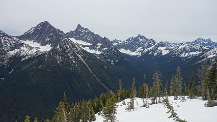
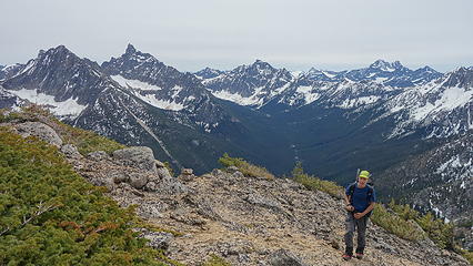
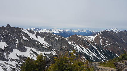
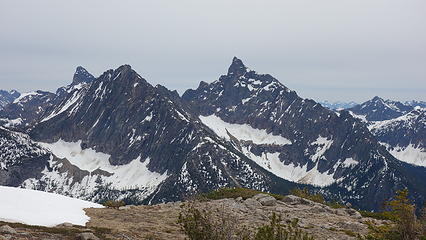
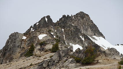
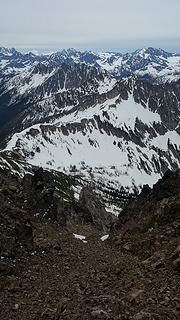
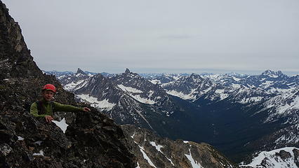
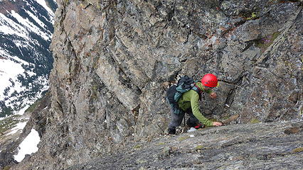
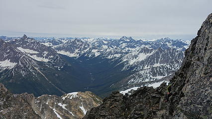
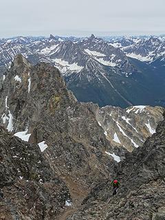
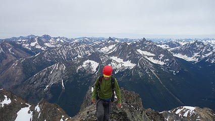
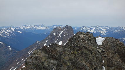
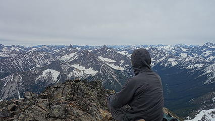
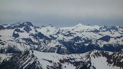
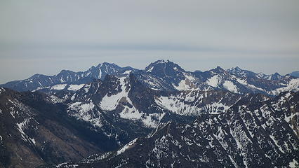
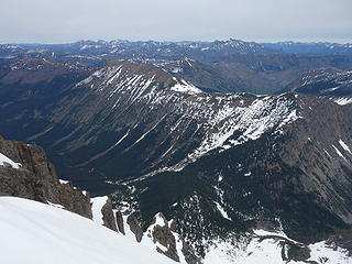
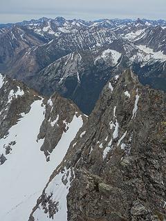
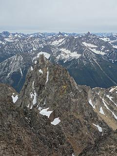
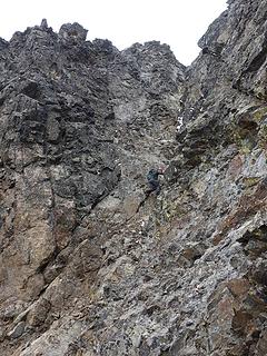
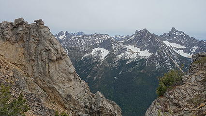
Lo and behold, we ended up on the west rib directly for a 200 foot vertical stretch where we did some sustained 4th class climbing. We got to a point where we could cross back to the south side of the rib, and back into the major gully, which we finished the final 200 feet up via class 3 rock. From the summit, which we reached at about 2pm, we had an amazing perspective of Jack, Ballard and the Pickets to the north, and Golden Horn, Tower and Black dominated the south view. Clouds began to obscure Baker, and I began wondering if our NWH friends made it up Lincoln Peak (hint: they did). Slate Pass and Harts Pass roads were easily visible, with still some snow covering them, however most of the peaks east of us were approaching bone dry. Crazy
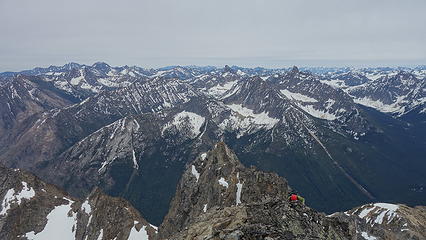
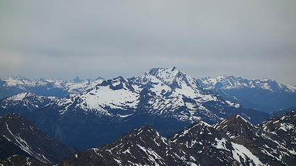
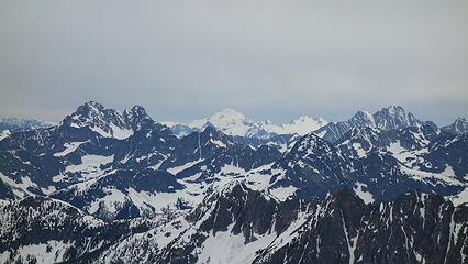
Black on left, Glacier Peak in middle and Goode at right
The winds were picking up and the air temp was getting colder. Seeing snow falling on the peaks to the north of us, we began descending, taking a better way on the return and quickly made it back to our stashed gear. From there, we enjoyed views one last time, before running the entire way back to the PCT which we reached around 5pm. An hour later we were back at Brush Creek, then by 10pm we made it back to the trailhead (after plenty of cursing at the bushes, rangers for not clearing said bushes, whoever started fire that allowed said bushes to grow etc). We were able to bike the last mile and a half with just enough residual daylight to not need headlights.
Great trip and one I'll remember. Now if I can just go do Ballard...
Thanks Nicolas for joining me!
