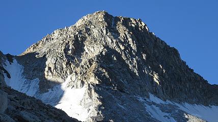
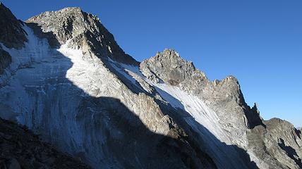
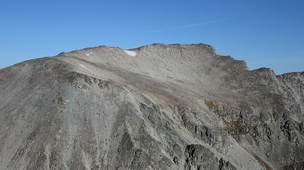
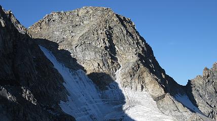
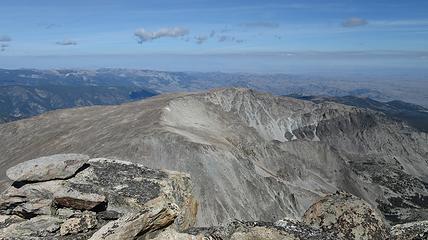
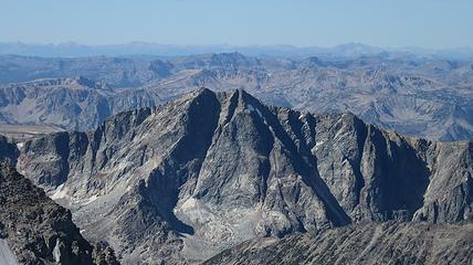
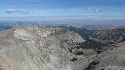
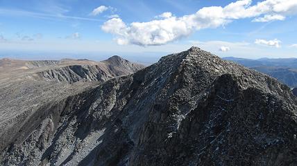
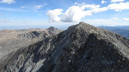
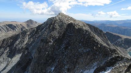
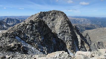
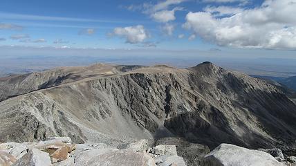
mount wood - 12,660' - ne slopes class 2+
pyramid mountain - 12,119' - class 2
stillwater plateau - 11,817' - class 2
september 2015
See my Mount Wood, Pyramid Mountain, and Stillwater Plateau HP Pages on SP
These were two of the last three Montana 12ers I still had to do. I should finish the 27 Montana 12ers this summer sometime with my last one being Glacier Peak.
So without further ado...
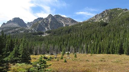
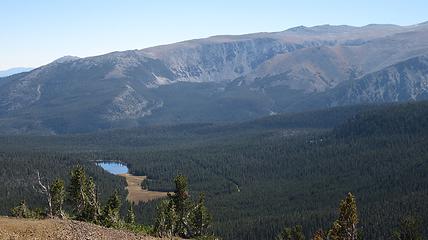
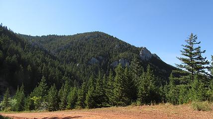
After climbing Cloud Peak in the Big Horn Mountains with a friend from Gillette, Wyoming, I dove back to Red Lodge for a 3 day solo trip into the Beartooths to climb Mount Wood and Pyramid Mountain. These two 12ers, along with Glacier Peak were the only ones I had left to climb. Not only did I summit both peaks but I also nabbed the Stillwater Plateau HP by making an epic loop hike approaching via the West Fishtail Creek and exiting over the Stillwater Plateau. I parked my car at the Benbow Mine (which was like the 5th time my poor car has been up that road), and walked the spur road east leading towards Chrome Lake. Just as the road ended I began bushwhacking south through dense trees and ascending gently into the small valley just south of Chrome Lake. I was aiming for the large NE/SW oriented ridge separating this valley with the West Fishtail valley further east.
It didn't take me too long to emerge unto an opening but I quickly realized that the opening was a massive deadfall zone which was even harder to navigate. I slowly crawled over big logs and through sharp branches until I reached a small flat meadow in the unnamed valley above. This was a nice break from the bushwhacking, but it quickly ended and I made my way acorss the outlet creek from a small unnamed lake above me, and started ascending the long ridge I had been trying to get to. After 300 feet of steep bushwhacking, I reached its crest and thankfully the bush thinned out. From here, at 9,050 feet in elevation I had to drop 500 feet back down into the West Fishtail Creek valley on a rightward traverse. I reached a small pond on the valley floor, and continued to many my way through trees up the now large valley.
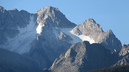
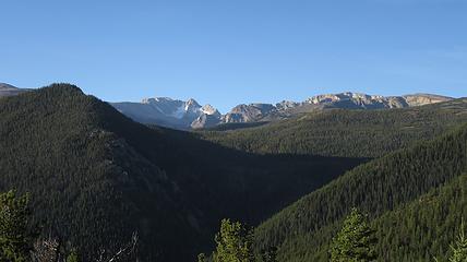
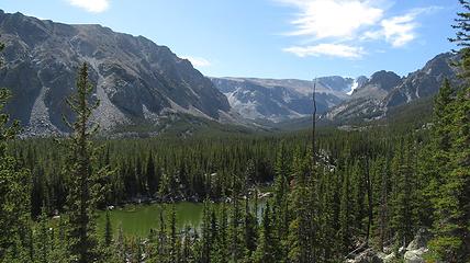
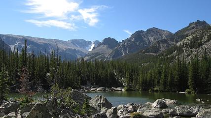
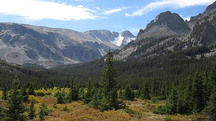
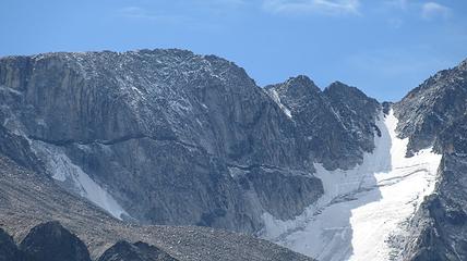
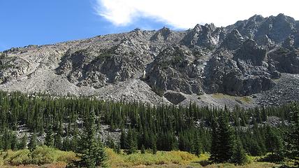
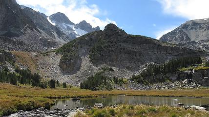
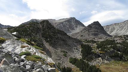
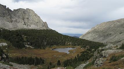
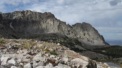
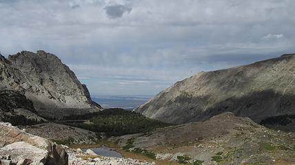
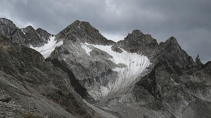
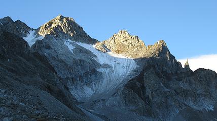
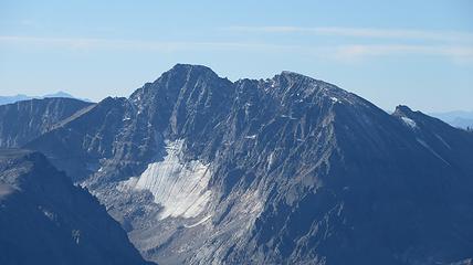
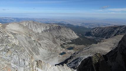
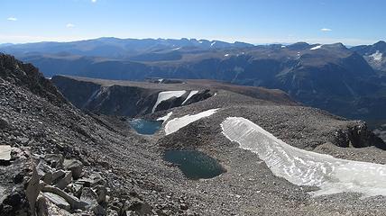
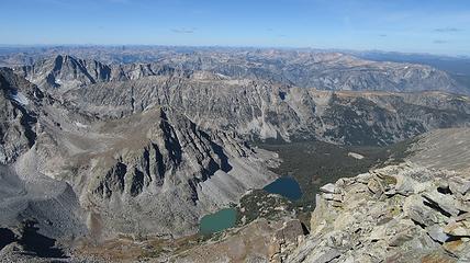
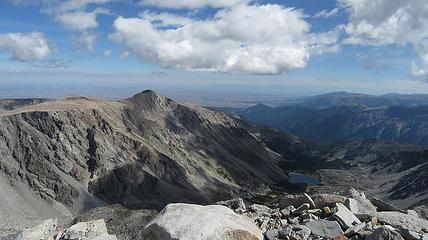
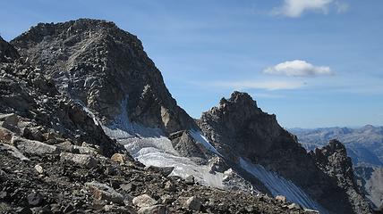
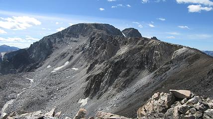
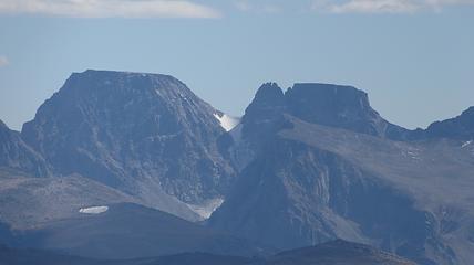
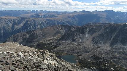
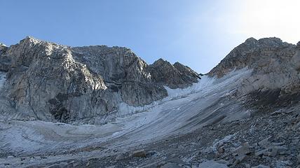
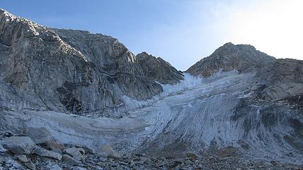
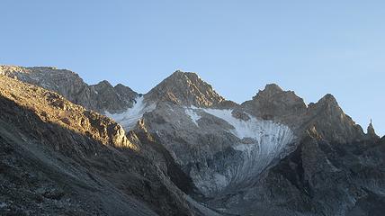
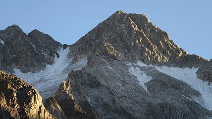
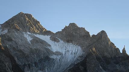
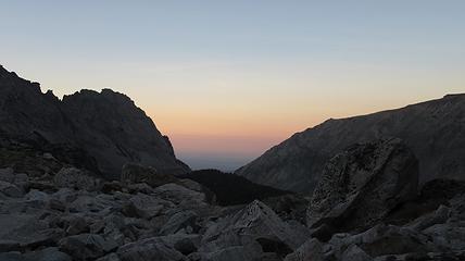
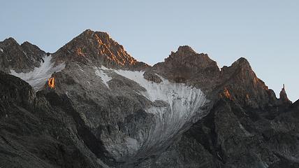
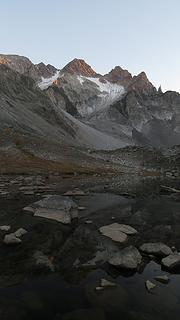
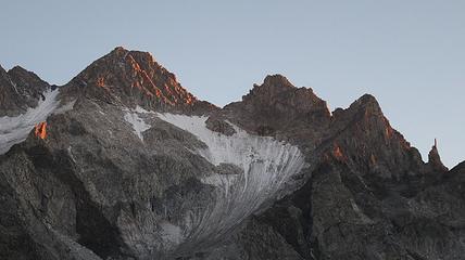
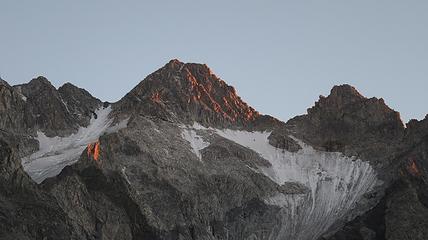
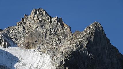
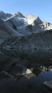
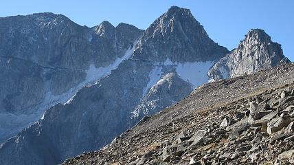
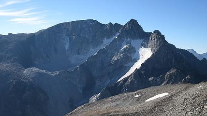
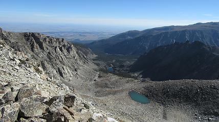
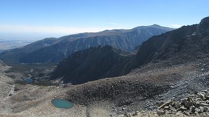
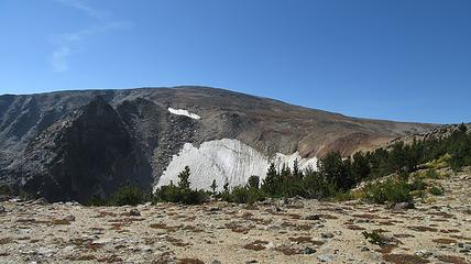
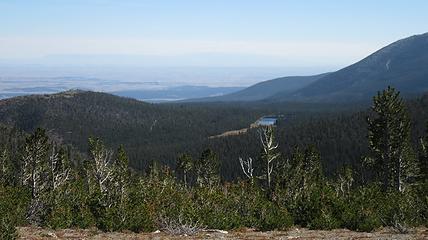
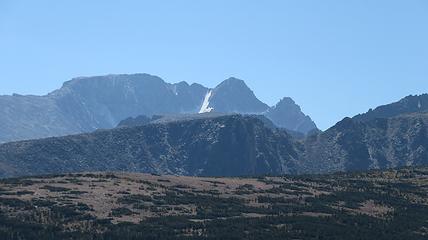
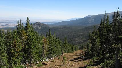
After another 20 minutes of thrashing, the valley floor opened up into a large meadow allowing easy passage. I even, to my big surprise found a decent trail! I was able to follow this trail all the way to the head of the valley where the slopes began to steepen; something like a mile and a half. I took a break to eat on a rock outcrop with great views down the valley towards Billings. The rest of the ascent to the first lake was a breeze, however some clouds were moving in and it was beginning to cool off. I decided to continue up to the highest lake, passing the largest middle lake enroute. At 10,000 feet I reached the upper West Fishtail Lake but it was surrounded by talus, so I located a large boulder and made a flat area underneath it where I could bivy. I got excellent views of Mount Wood towering above me with the small glacier still clinging to its north face. Since I was almost in a direct line of sight from Billings I actually had service here...the only place in the Beartooths I recall ever having that. Since it took me so long to dig out my bivy spot (which should remain there for a very long time) I ate a quick dinner and crawled into my sleeping bag with a clear view of the night sky. It was a calm, warm night and apart from a mouse trying to eat through my phone I slept great.
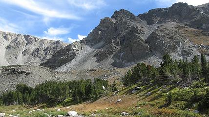
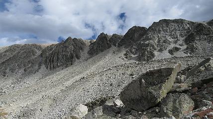
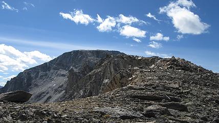
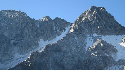
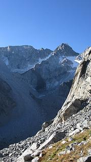
The next morning, I got up with the sunrise and packed up my sleeping gear and put it on top of a large boulder that would be inaccessible to hungry animals, and I started up the talus slopes directly above the upper lake. These slopes sneaked through the cliff bands present on the lower slopes of Pyramid Mountain and allowed east passage to the West Fishtail Plateau above. I started out the day by ascending the slopes all the way to the NE ridge of Mount Wood, and scrambled up to the east summit. The ascent was essentially all on talus and I made quick work of it. I did stop many times though to study the north rib route just across the bowl from me. I wanted to get a really good idea what that route was like.
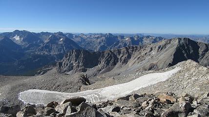
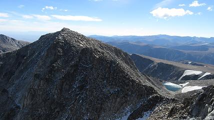
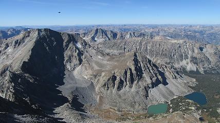
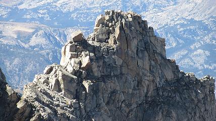
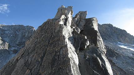
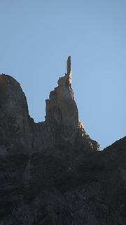
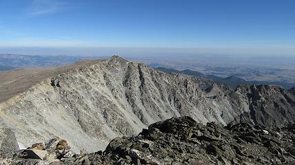
From the east summit of Mount Wood, the sun was beginning to warm everything up. Amazingly I actually got a call for a phone interview up there which delayed me about 30 minutes, but I then made the Class 2+ traverse to the west summit. No one really knows which one is higher but the traverse between the two is fun, and only takes maybe a half hour. From the top of the west summit, I looked down the NW ridge of Mount Wood (which leads directly to the west summit) and studied that route hard. I also scouted a route up the unnamed 12,000 point to the northwest of Mount Wood. It only has about 100 feet of prominence but certainly looked to be low 5th class.
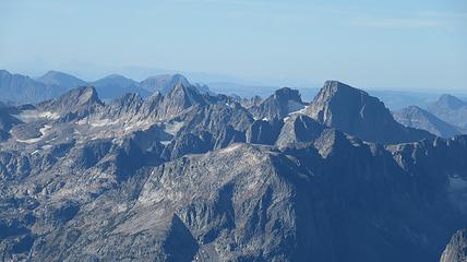
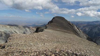
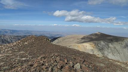
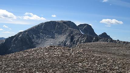
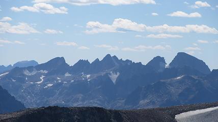
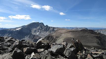
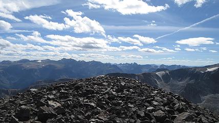
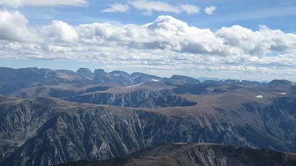
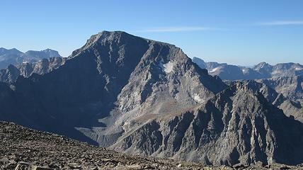
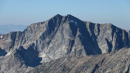
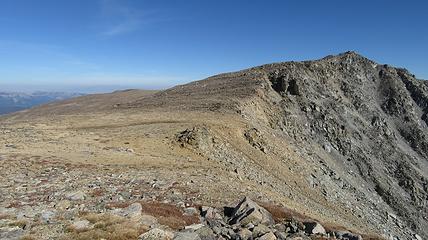
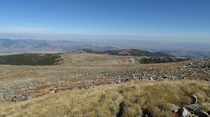
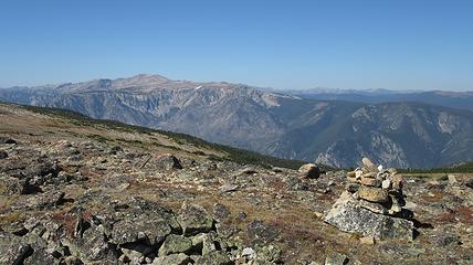
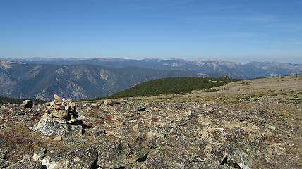
By this point it was about 11am so I retraced my steps back over the east summit and began the long walk over to Pyramid Mountain. Technically, Pyramid Mountain is the high point of the West Fishtail Plateau but it has enough prominence from its saddle with Mount Wood to be its own peak. It is nearly 2.5 miles to the east from Mount Wood to Pyramid Mountain over a formidable high plateau covered in huge boulders. My long stride made it easier to work my way across, but it still took a bit over an hour. Along the way I also had to cross over Point 12,022 which was a small nubbin of a peak just west of the Pyramid Peak true summit. Thankfully the weather was perfect with no chance for storms. The views of Mount Wood from Pyramid Mountain were incredible, and I also saw most of the Beartooth high peaks like Granite, Castle, Whitetail and Silver Run.
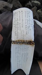
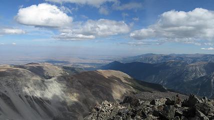
The summit register for Pyramid was ancient, dating back to 1992 with only a small handful of signatures. The metal binding holding the pages together has almost completely rusted away. I signed it and read through the previous entries. I enjoyed the summit a lot as it also overlooked the plains north of Red Lodge. Had the air been a little clearer, I would have easily been able to see Billings.
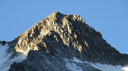
By around 2pm I started heading back across the plateau, and made a descending traverse back to the 11,000 foot spot where I reached the plateau. I then continued west and traversed across the base of the remnant glacier on the north face of Mount Wood. I walked to the base of the north rib and climbed as high as possible until ropes became required. I probably got 400 feet up the rib before I hit a 50 foot Class 5.6ish crack, but above that I knew the route eased up for a long ways before the final few pitches I had scouted out earlier in the morning. I downclimbed the class 3 and 4 loose rock back to the bowl and returned back to the upper lake and my bivy spot. Shortly after I arrived the sun was setting on Mount Wood offering a brilliant alpenglow!
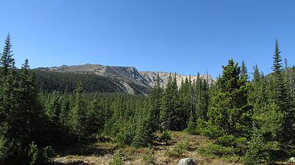
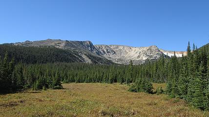
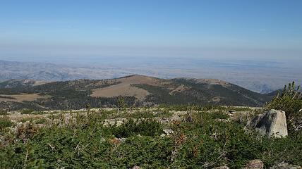
After another great night sleep, albeit a colder night I slept in a little and decided I didn't want to go back down the West Fishtail Creek route. So instead I ascended mainly westward up to the Stillwater Plateau HP at 11,808 feet. Since my overnight pack was so light (no tent) I was able to haul it up the steep talus slopes and reach the summit without much issue. I didn't entirely expect to get this third summit but I was glad I did because the views of Mount Wood were amazing from this cool perch. I however had over 3.5 miles of more high plateau walking to the north on the Stillwater Plateau to get back towards my car, although that was better than the bushwhacking I did on the way in. This route isn't advised if storms are forecasted though. Luckily I had another bluebird day. September is such a great month!
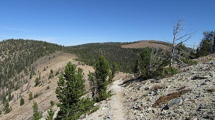
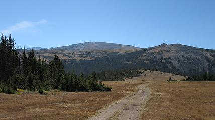
I finally reached treeline once again and came across the end of the official trail, which I wasn't really sure was still there but it turned out to be an excellent trail. I was able to easily switchback down the gentle slopes northward and had no issues with brush as the trail went directly over the saddle separating the head of Little Rocky and Flume Creeks and to the end of the road at the golf course. From here I had to regain about 200 feet on the road, then continue down the maze of 4wd roads criss-crossing through piles of mine tailings and ruins. It was actually a bit confusing getting back to the A frame at the base of the Benbow Mine where I parked but by mid afternoon I made it and began the long rough drive back to Dean, and then back to Red Lodge.
