monkey business canyon - 3A
march 2013
Overview
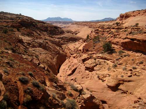
Monkey Business Slot (AKA West Fork of West Butler Canyon) is a nice short canyon great for that half day canyoneering trip and is well suited for beginner canyoneers who are looking to start rappelling in a slot canyon. Located just to the west of the more difficult Shenanigans Canyon, it's easily accessed from the Cedar Point Road just off Highway 95 south of Hanksville, Utah.

GE Image showing the northern half of the North Wash area canyons. Monkey Business Slot shown in Orange
Getting There
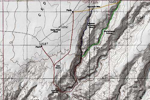
Getting to Monkey Business Slot is actually pretty easy. To do the whole Canyon you must do a loop hike and there are many places to park to start and end your loop. The place I'd recommend you park is 5 miles out on the Cedar Point Road which heads east off Utah Highway 95 about 0.8 miles north on the Highway 276 junction. The entire loop will take about 3 hours for the skilled canyoneer and up to 8 hours or more for larger groups and amateurs.
To get to the starting point drive four miles east on the Cedar Point Road where you will find a small road heading off to the right. Do not take this short road but instead veer left. Continue down the Cedar Point Road for another mile where you will find a short pull-out near a large juniper tree. This is where you'll park and start the hike. Views of the Henry Mountains from here are beautiful. Make sure you check the mileage on your car when you first turn off Highway 95 because you will always think you go further than you really do on this dirt road where you cannot travel over 30 miles per hour very much.
Route Description
The Canyon
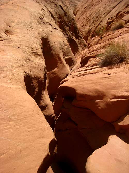
From where you park, walk at about an 85 degree bearing for a third of a mile through open desert. You are aiming for the first main drainage you see just to the east. It's a gentle slightly downhill walk over sand and through sagebrush to the drainage above the start of the slot canyon. Once you enter the drainage turn right and head southward down the canyon. It will quickly start to narrow and you will arrive at the first drop that you can walk around and down to the left side. This drop gets you down through the Page Sandstone to the contact with the Navajo. From here you will start working your way through a shallow slot with a couple easy drops. If it's sunny and hot you will be exposed to the sun for the first third of the canyon so be prepared to stay hot.
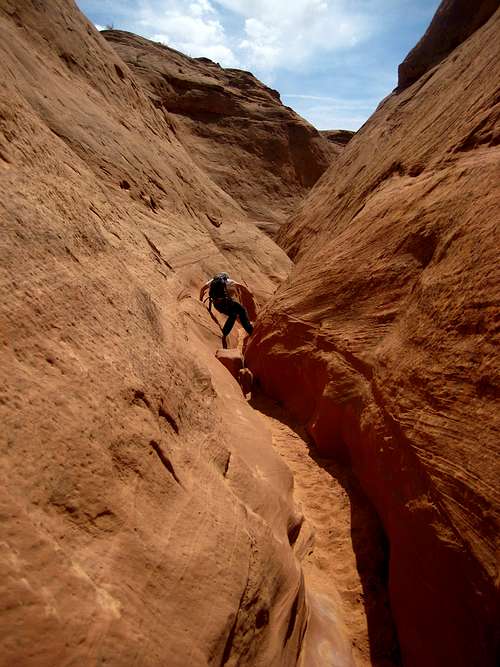
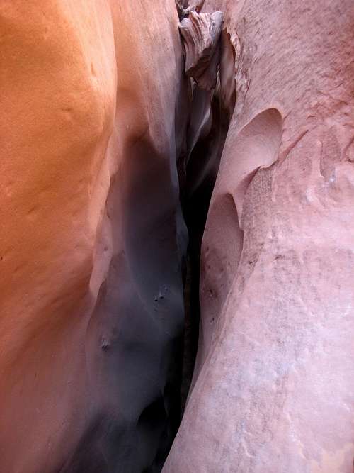
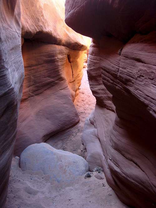
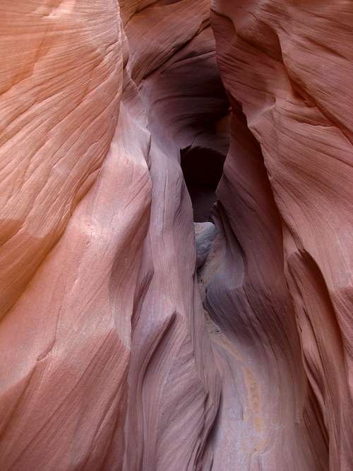
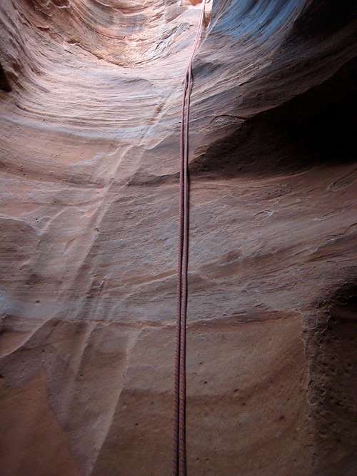
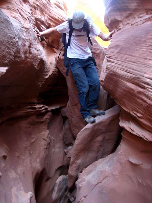
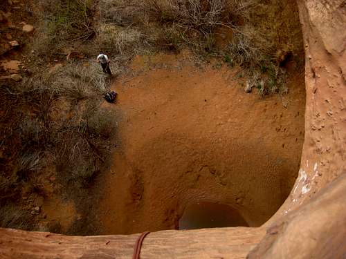
Eventually you will get deeper into the slot where you will have a few drops that must be down climbed which can be intimidating for beginners. One of these is a long friction slide of about 30 feet. Help others down/spot if needed. You will then come to a difficult 15 foot descent at in-cut section on the left wall of the canyon. There are a few chalkstones wedged into this in-cut section which you can lay on your belly and tie a piece of webbing around (which I did) to set up a very short rappel. Once down that continue down canyon past some narrow sections to an open area where you can scramble out of the canyon on the right side. If you are not equipped to rappel, you must exit the canyon here as it gets technical below. Just past this open area with the exit, the canyon slots up quickly and you come to the first of three rappels in the canyon. This first rappel is anchored by a large set of rocks buried under lots of sand with a long piece of webbing. Be sure to check it before weighting it. Start down a vertical chute which allows for easy rappelling, into a small pothole. Easily exit the pothole to the right (looking down canyon) while staying on rappel and head down a dark section to another pothole where you then drop over and down to the canyon floor below. You'll need a 60 meter rope to make this corkscrew rappel. We found another anchor in the lower pothole consisting of a rock buried in some sand that we had to re-make because we were dumb and pulled our rope in the first pothole. You should pass through two small potholes in the first rappel.
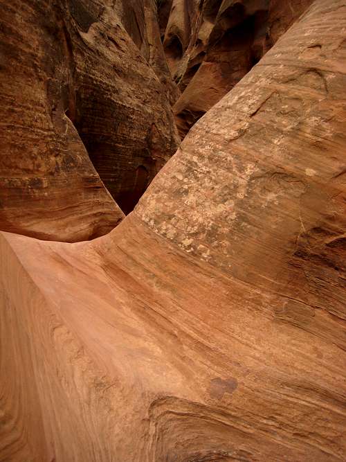
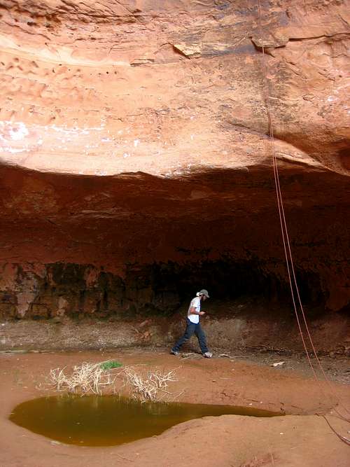
Below the first rappel, the canyon opens slightly and you come to a small narrow section with a drop you can jump down into a soft sandy bottom. You then quickly come to the start of rappel 2 which is anchored by another deadman anchor which was fine when we were there but should always be checked. This 12 meter drop leads right into a moderate sized (usually dry) pothole where most people can climb out or be helped out from a second person. Just past this you can climb out to the left side of the canyon and bypass a series of small potholes and shallow narrows. You will get to the last big drop which takes you down to the wide open gorge below. This 20 meter drop is anchored from a couple pieces of webbing wrapped around a nice horn. Rappel down the slab to the lip of the drop and finish down the vertical drop. The last bit of the rappel is free where the wall gets undercut at the Navajo/Kayenta contact. There is typically a small amount of water at the bottom which can be avoided.
The Exit Hike
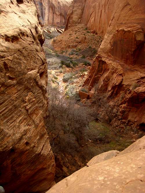
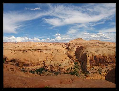
After taking a nice break at the bottom of rappel 3, head down stream in the wide open Butler Wash. Keep an eye out for the large arch high on the walls on Butler Canyon as you walk.
After nearly a mile of easy walking (passing by the junction of the middle fork, and the east fork both coming in from the left) locate a fault line canyon that heads up to the right. This is your exit route and you simply hike up this side canyon and scramble up. The hardest part of the climb is the first move where you climb up a loose third class section. Continue steeply on semi-loose rock until you get about 2/3 the way up and you'll see a cairn that directs you to the right. Head around to the right on Navajo Sandstone following cairns until you get to the rim. Once at the rim you will have to walk across open desert to where ever your car is parked. A GPS with your car marked helps keep you going in a straight line.
Camping/Other Info
There are great campsites with fire rings just off Highway 95 near the mouth of Leprechaun Canyon. There is also many spur roads leading off the Cedar Point Road to secluded campsites. All camping in the area is free. There is no red tape and this canyon lies on wild BLM lands. Please avoid stepping on the crypto-biotic soil if travelling cross country and leave no trace. See the table below for climate data of the area. Even though this is the desert, winter nights are very cold so prepare accordingly.
| MONTH | HIGH | LOW | PRECIP | SNOWFALL |
| JAN | 41 | 19 | .52" | 5.2” |
| FEB | 47 | 25 | .43" | 2.0” |
| MAR | 58 | 33 | .58" | 2.7” |
| APR | 66 | 39 | .54" | 0.7" |
| MAY | 76 | 48 | .63" | 0.1" |
| JUN | 87 | 57 | .43" | 0 |
| JUL | 92 | 64 | .91” | 0 |
| AUG | 89 | 62 | 1.15” | 0 |
| SEP | 81 | 54 | .80” | 0 |
| OCT | 68 | 43 | .71" | 0.5” |
| NOV | 52 | 30 | .62" | 1.8" |
| DEC | 42 | 21 | .26" | 2.4" |
Gear
This canyon will require a 60 meter rope, harnesses and rapelling devices. Best to also have jeans or knee pads as there are quite a bit of friction sliding. Bring at least a half gallon of water per person. This canyon and the exit hike will take anywhere between 3-7 hours depending on your party size and experience.
External Links
See Michael Kelsey's book Technical Canyoneering guide to the Colorado Plateau for a great description of the canyon.
